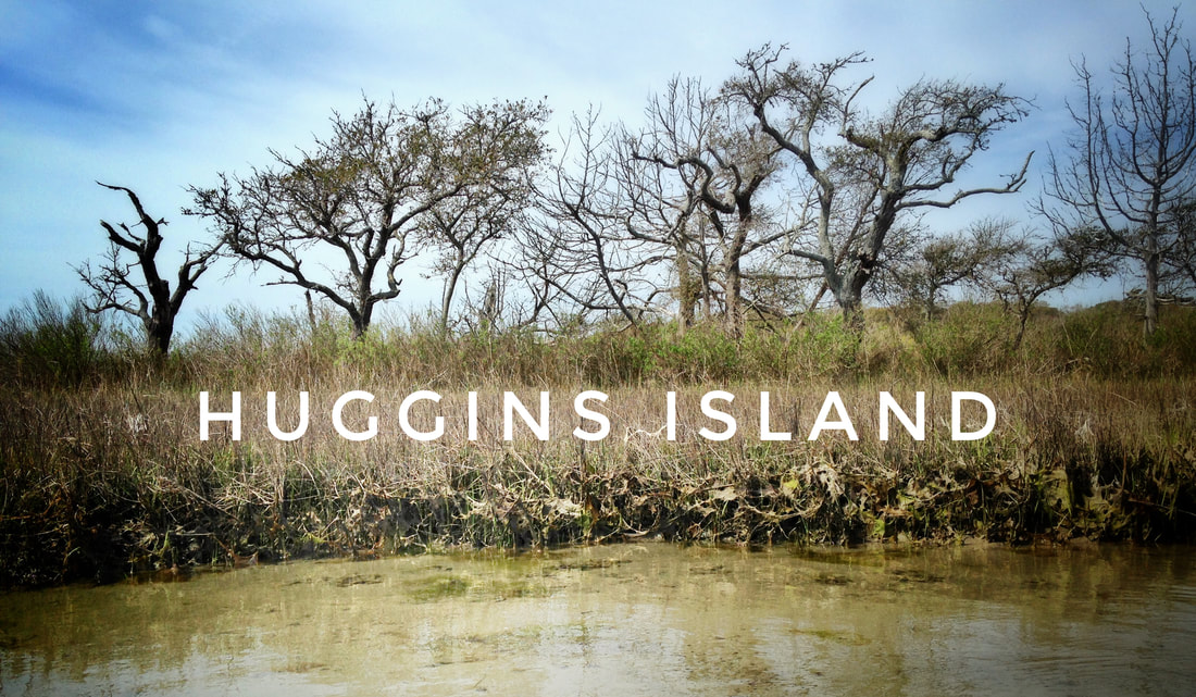
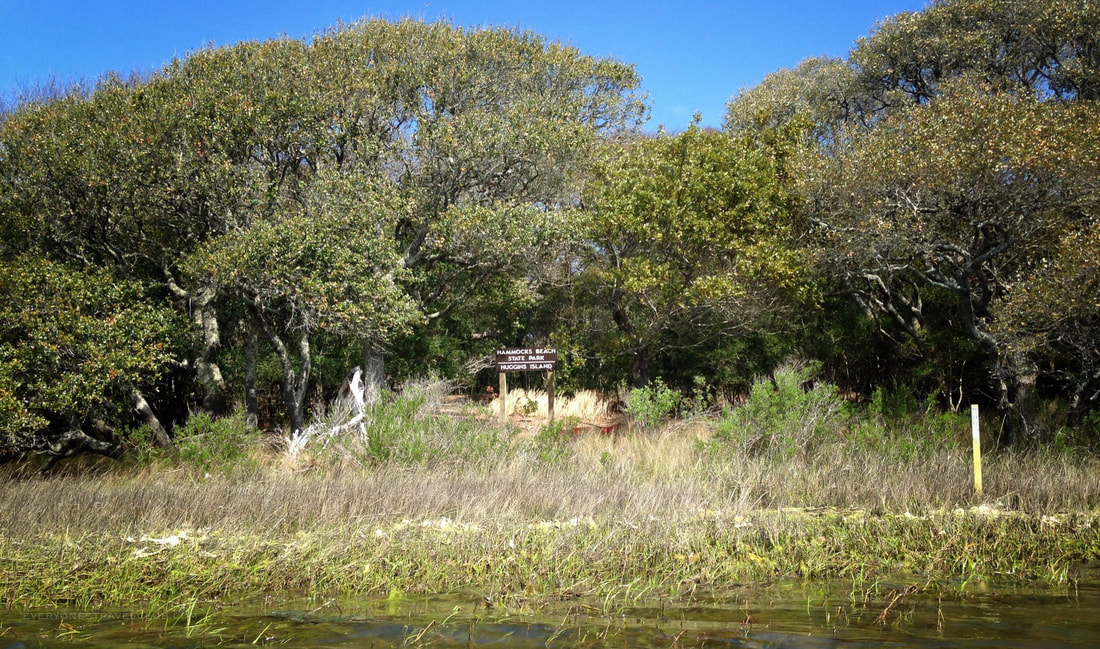
First, the particulars: Huggins Island is a 225 acre undeveloped barrier island located in the Intracoastal Waterway near the mainland towns of Cedar Point and Swansboro North Carolina. It is part of Hammocks Beach State Park. It has significance both ecologically and historically - the island is a maritime swamp forest that was once a Native American hunting and fishing ground and later a Civil War canon battery.
For paddlers in this little corner of Eastern North Carolina, it's a popular route to leave Hammocks Beach State Park on the mainland and circumnavigate Huggins Island. Yellow over yellow posts starting near the kayak launch at the HBSP Visitor Center lead you to and around the island. It's about a 6 mile paddle. Here's a link to the State Park paddle map. End of story? Not so fast! 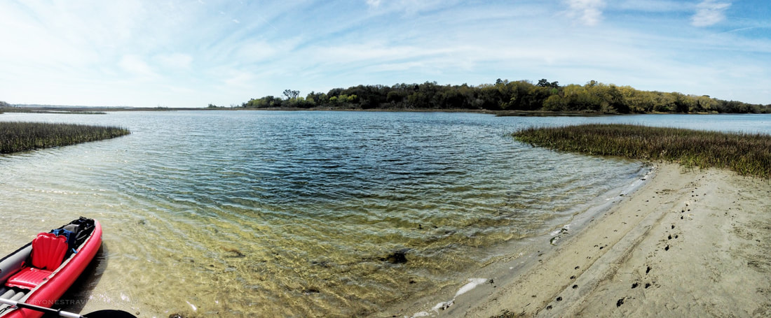
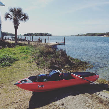
Now, the reason for the clickable title to this article...the easy way to paddle around Huggins Island...is actually a simple adjustment. Instead of launching from Hammocks Beach State Park like everyone tells you to, we like to launch from nearby Cedar Point (the town not the park). The NC Wildlife public boat launch to be exact (this one). You can see Huggins Island from the launch (it's the far trees on the right in the picture). It also allows for a great 1/2 trip that I highly recommend, more on that route in a bit.
Leaving from the public launch in Cedar Point allows you to island hop before starting around the island. Since I'm often traveling with the mutt, we usually stop for some digging.
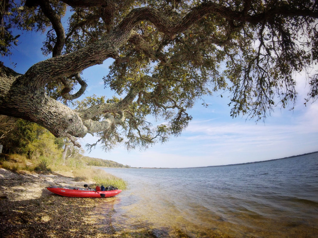
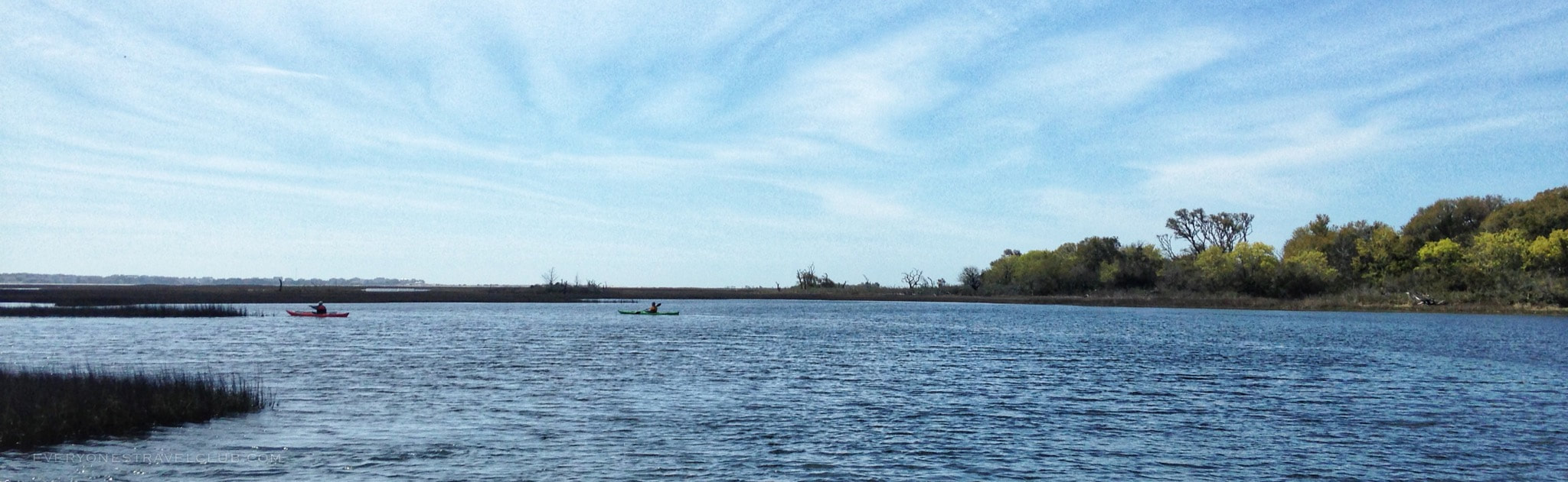
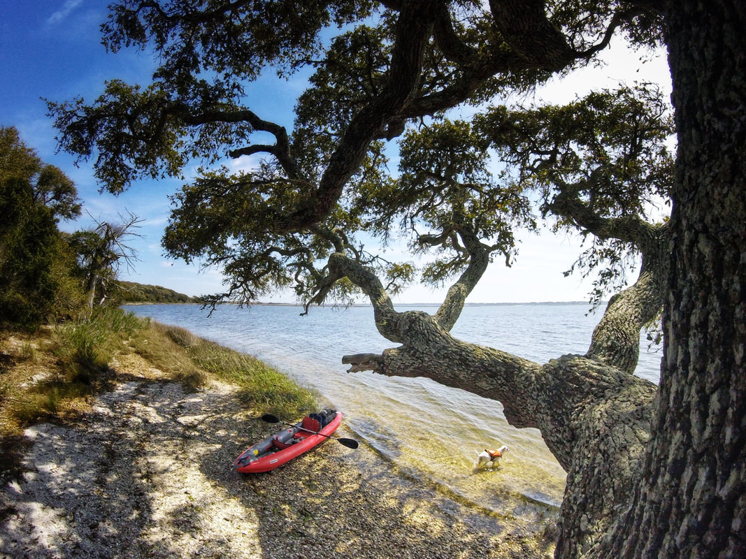
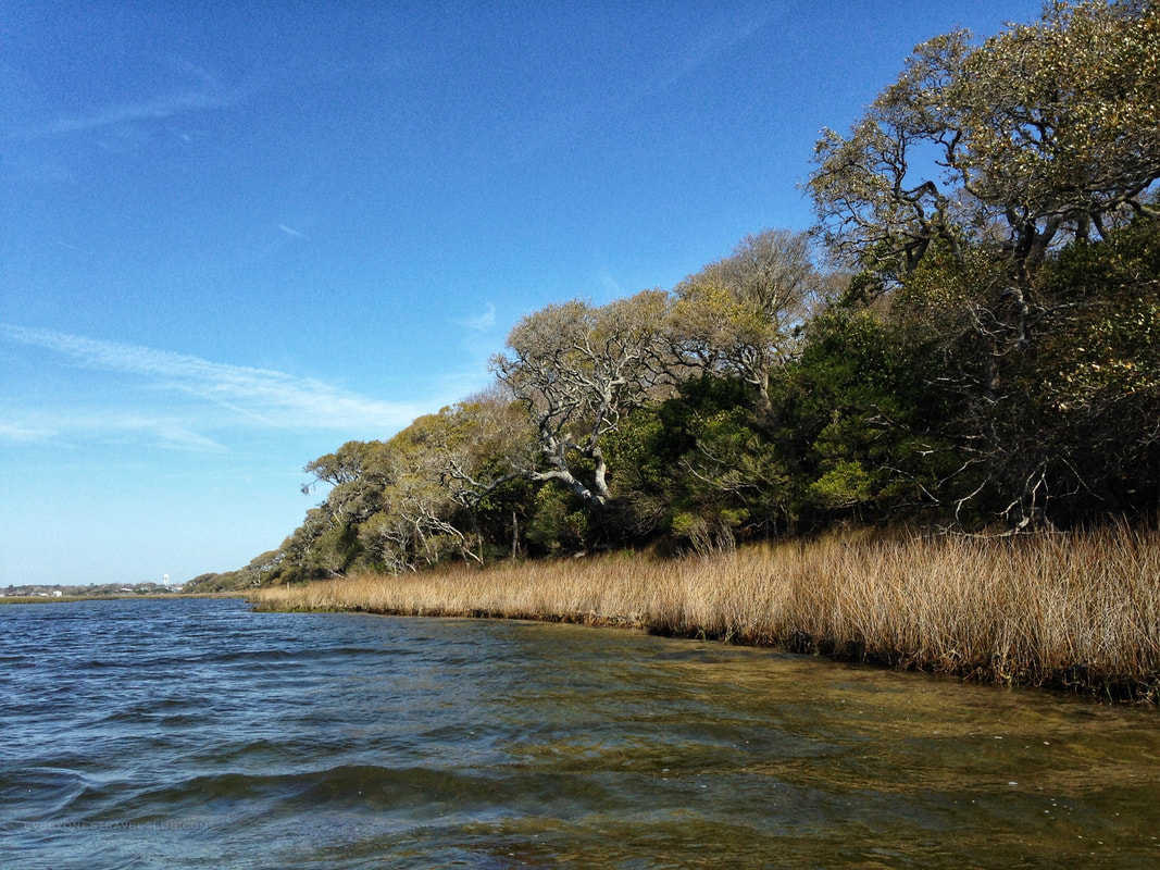
After launching from the mainland, playing on a few sandbars, we paddled around Huggins clockwise from the launch - around the Cedar Point side before the Swansboro side. At first you can usually duck the wind by staying close to the island (the leeward side is usually facing mainland). As you round the island you'll likely be on the windward side of the island so expect a little more breeze and chop. Just before halfway you'll come to a great little stop - a giant live oak tree and shell beach. This is a great lunch spot. The tree is epic.
It's important to note that Huggins is pretty wild with little beach and/or opportunities to explore the interior of the island. I knew that before I paddled, but it was still kinda hard to imagine. The forest is thick and the few beach-like places are covered in shells (mostly broken shells).
The leisurely paddle, with digging island hop stops and a photo break at the giant live oak tree, took us only 1 hour and 25 mins to complete. The wind was light to moderate (8 mph), the chop wasn't too bad, and the current wasn't much of a factor (at the time we left anyway).
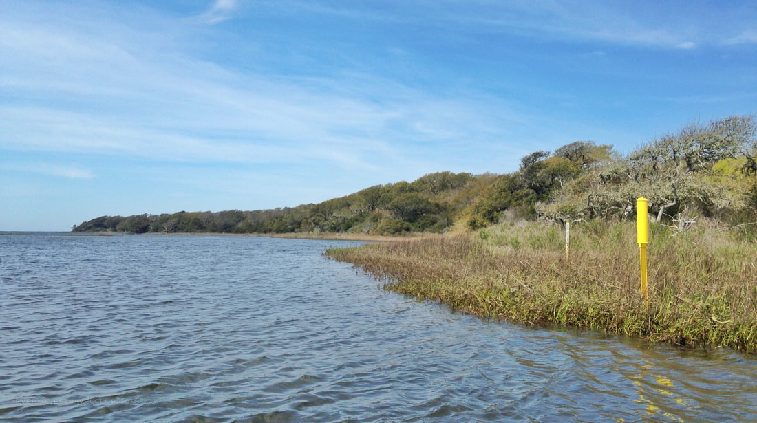
As we rounded the windward side of the island and turned toward the town of Swansboro, the paddling turns into a bit of a grind for about 20 minutes. This is the most monotonous part of the trip - you've got to follow the yellow markers which lead you around the shallow marsh and you're not too close to the actual island (a.k.a. there's nothing to look at!). If I had guests, especially young ones or beginning paddlers, I would skip this side of the island and do a 1/2 trip. It would look a little like this: 1. Launch from the NC Wildlife Cedar Point boat launch 2. Island hop a little - get out and run around on the mini-barrier islands/sandbars you find 3. Start around Huggins (the Cedar Point side not the Swansboro side) 4. Stop at the big live oak tree beach to take a break 5. Turn around and head back the way you came 6. Island hop a little more for fun:) *Check the tides - high tide means not much barrier-island/sandbar beaches to explore 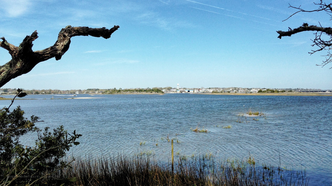
A view of the town of Swansboro from Huggins Island.
So, there you have it! Island circumnavigation complete! Have any questions about the paddle? Let us know in the comments. Wondering where we're adventuring this week? Check us out on social media!
~Paul & Eleanor everyonestravelclub.com When the weather changes or the parking spots fill up:
Plan B: No single parking spots at the public launch in Cedar Point? Head to Hammocks Beach State Park.
Plan C: Too windy? Too much boat traffic? Head inland to nearby Cedar Point or paddle to Jones Island. 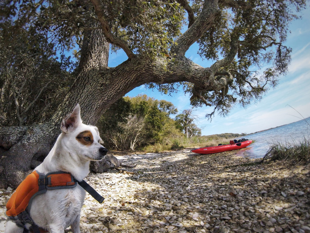
Eleanor contemplating: Should I just move to this island?
3 Comments
Mo
9/20/2021 06:49:03 am
This is a great post, thank you for sharing about the large oak tree and beach on Huggins Island. We're looking at taking a similar kayak route this weekend, and I was wondering how far around the island the large oak is located? Nowhere can I find it on a map, and I wanted to estimate our paddle distance to make sure our group can handle it. Thank you! Ahhhhh, If I could only remember! I believe it’s on the southern stretch (on the map, sort of the side facing Emerald Isle/The Point. Like I said in this post it’s much more fun/island hopping (especially at lower tide) going from the boat launch to the tree and back, rather than going all the way around. Going all the way around leaves about 20-30 mins of straight paddling—a bit boring for newbies, especially if the wind happens to be in your face (as it almost always does lol!). There are also great trees/place to stop if you left Hammocks Beach (more parking here), and followed the Park ferry route to some nice spots across from the partially submerged fishing boat in the ICW right there (if it’s still there!?)—do you know where I’m talking about? -Paul The big live oak tree is on the SE facing portion of Huggins Island, pretty much SSE from the red marker on the above map. Besides the Cedar Point boat ramp, you can also park and launch (for a fee) at Barrier Island Kayaks (parking is free if you rent a boat from them). Leave a Reply. |

Categories
All
We hope you've enjoyed the time you've spent on our site. All images, text and designs are copyright Everyone's Travel Club and may not be used without written permission from us. Email us!

Archives
August 2022
|

 RSS Feed

|
Connect:Contact: |
[email protected] |