|
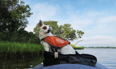
Eastern North Carolina has a lot of barrier islands. After paddling to a few of the protected ones (Rachel Carson, Dudley Island), I (with pooch) set out to knock another off the list.
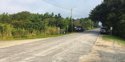
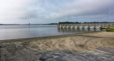
On the edge of Onslow County, in the town of Holly Ridge, is a nice mainland boat launch called Morris Landing. This area is actually part of a 52 acre shoreline restoration project managed by the NC Coastal Federation. The boat launch here is a little elusive when you're searching for it online - it's not a State Fish & Wildlife launch like you may be used to (like the launches at Emerald Isle or Cedar Point). Morris Landing is the closest kayak/canoe/boat launch to the Permuda Island Reserve, my destination for this trip.
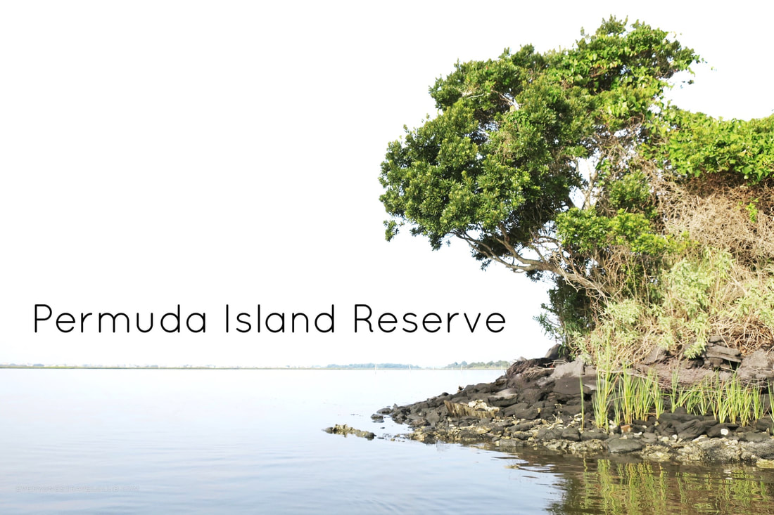
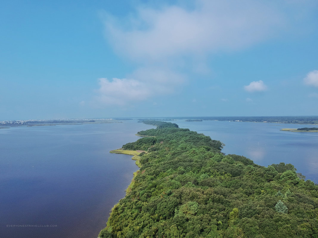
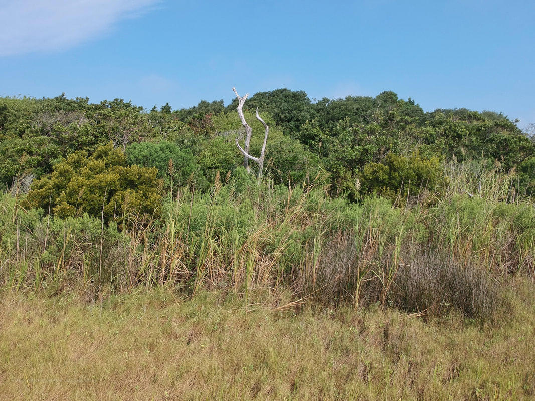
The Permuda Island Reserve is a NC Coastal Federation protected barrier island. It's long, narrow, and heavily wooded. It's 65 acres big with over a mile of shoreline. Among the multiple species of wildlife, there's also archeological evidence of human inhabitants from waaaaaay back (into the B.C.!). We read about this evidence online but did not see any signs ourselves.
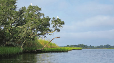
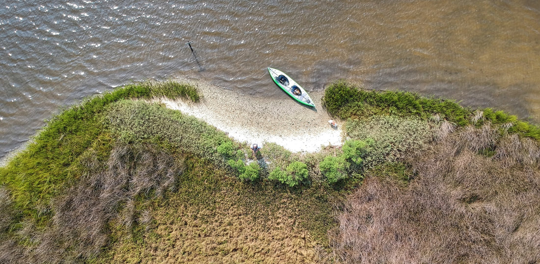
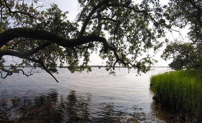
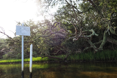
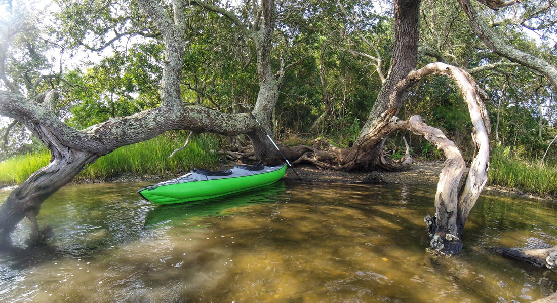
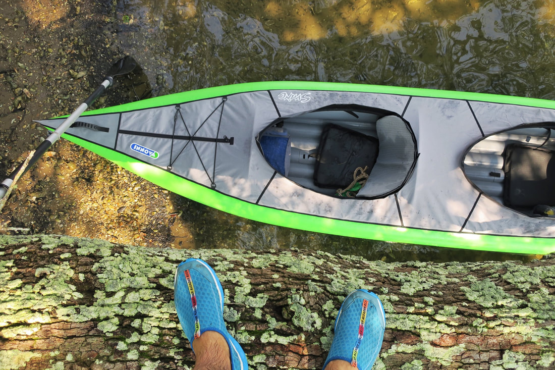
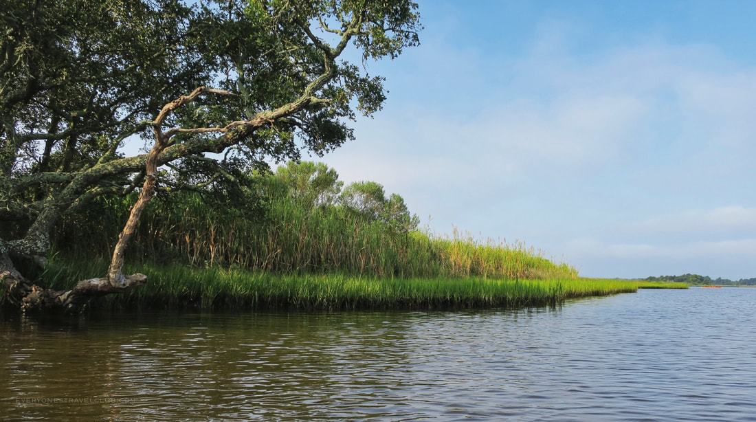
Commercial oyster beds are scattered around in the adjacent waters (the Stump Sound). As you paddle around the island, you'll see these and beyond them to the beach houses of Topsail Island, pronounced "Top-sol" by the locals. If it's a still day you'll even hear the ocean waves crashing! Although Permuda Island doesn't have any trails (it's thick), you'll be able to bird watch many species right from your boat. There are a few places to beach your kayak and explore - but don't expect big sandy beaches on here. Look for low lying live oak trees, especially on the mainland facing side of the island, these are usually cool places to pitstop (see below).
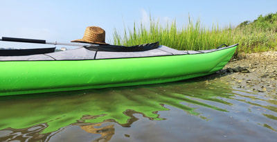
We paddled, we stopped a few times, we took lots of pictures. It wasn't crowded at all on a weekday at the end of the summer, but I could imagine quite a few cars/trucks/trailers parked at Morris Landing on the weekends when the weather is nice. There's not an actual parking lot so get here early if you want a spot. I set the timer from the time we launched to when we returned - we took 2 hours and 24 minutes. I imagine you could cut that time down significantly if you didn't spend light years trying to get closeup video of ants on a tree like we did. The ants were giant and amazing, the video was not haha.
Also, since most of the cool stop points are on the mainland facing side of the island, probably better to paddle Permuda counterclockwise from the Morris Landing launch site to get more paddling in before you stop for a break. Watch the winds and the tide - this will (as always) impact your trip - which way and how far you wish to travel. It's a cool island, check it out! ~Paul & Eleanor everyonestravelclub.com Links! NC Coastal Federation Brochure for Permuda Island
1 Comment
Have you checked out the NC State Parks passport? It's a great little book/guide leading you to all of the state parks in North Carolina. Grab a stamp for your passport at each park and feel the sense of accomplishment! (Luckily some parks have started offering sticker stamps too, just in case you forget your passport...like Captain Wifey does every time ha!).
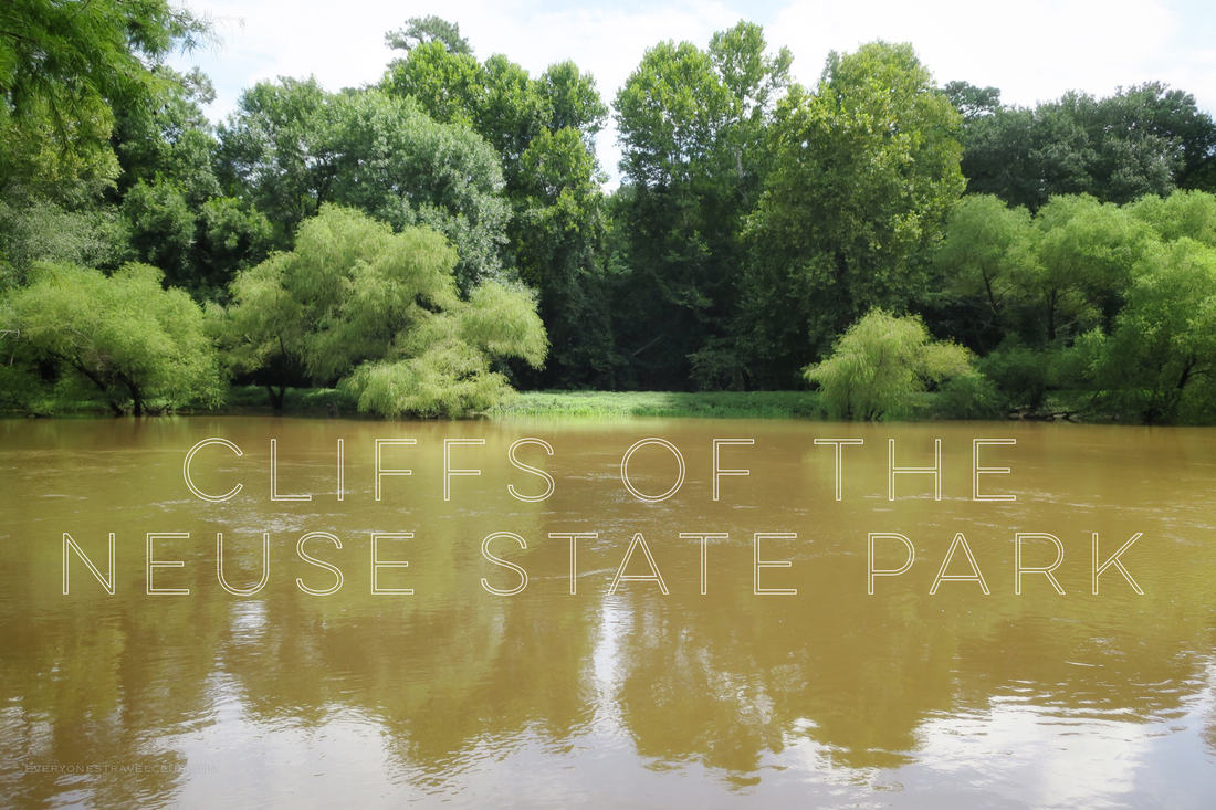
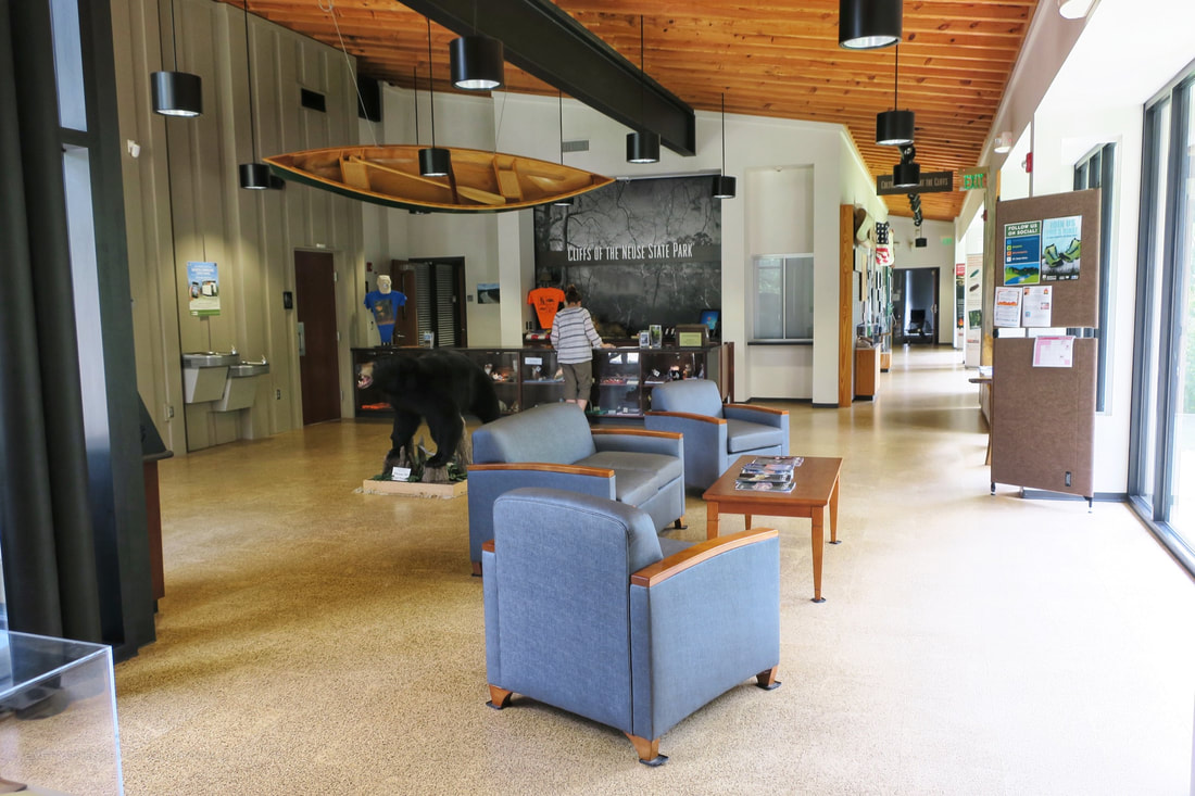
We've been pretty successful knocking out the state parks around us - Fort Macon, Goose Creek, Hammocks Beach, Fort Fisher, Jockey's Ridge, & Lake Waccamaw. So, we moved inland this time, to Cliffs of the Neuse State Park near Goldsboro.
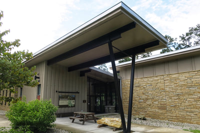
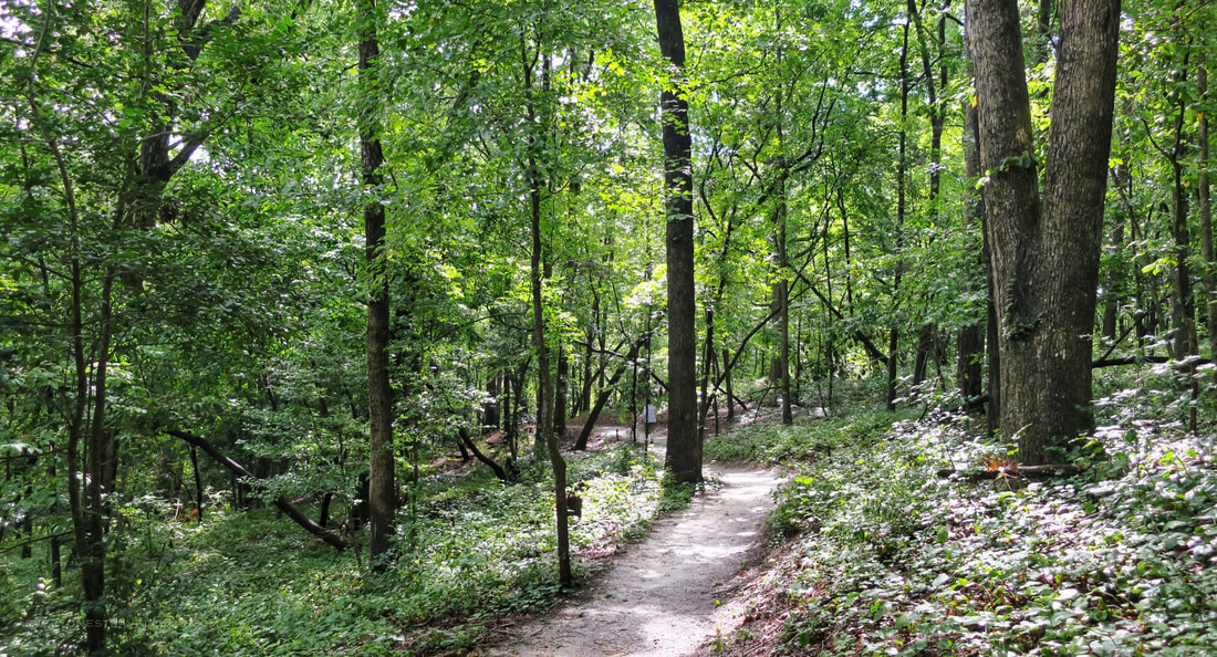
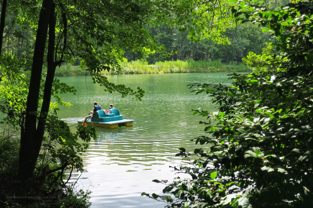
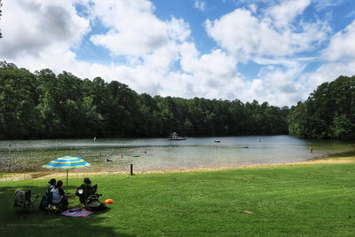
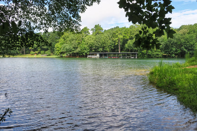
After checking out the visitor's center, we jumped down to the nearby lake trail and hiked through the woods, eventually making it to the 11 acre spring fed lake. We shall call it 'lake no-name'...'cause, like, I couldn't find a name anywhere.
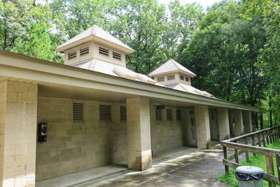
Although you don't have to hike to the lake (there's parking right by it), the lake trail was a fun 2 mile-ish wooded walk with a few ups and downs but not too strenuous. How ever you get there, at the lake you'll find a swimming and diving area, a boathouse for paddleboat and kayak rentals, bathrooms, and a concession stand. Services and hours vary by season and you do have to pay to swim in the summer. We made a "I'll have two margaritas" joke to the concession attendant and I think we scared him.
One unfortunate thing for us is the fact that private boats (kayaks in our case) aren't allowed on the lake. It's clean, clear, and not very big so I can kinda see why...kinda. Also, you have to pay a fee to swim - that's also kinda strange - but I'm sure they have their reasons (hopefully good ones).
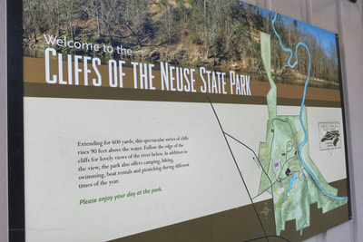
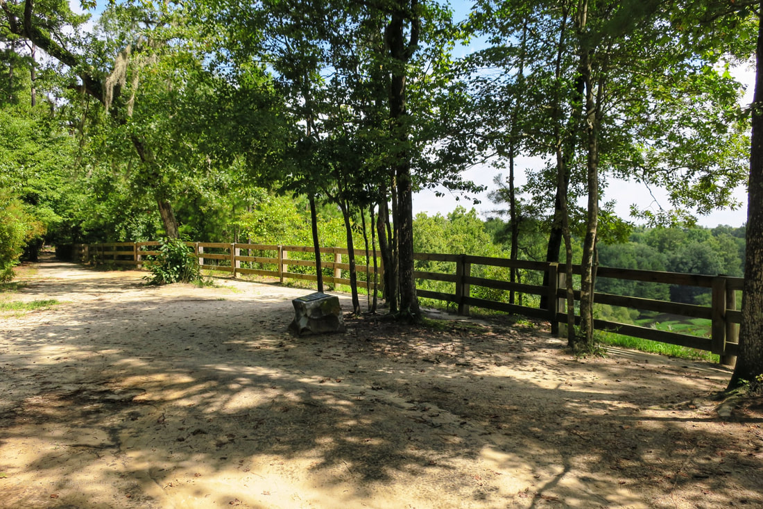
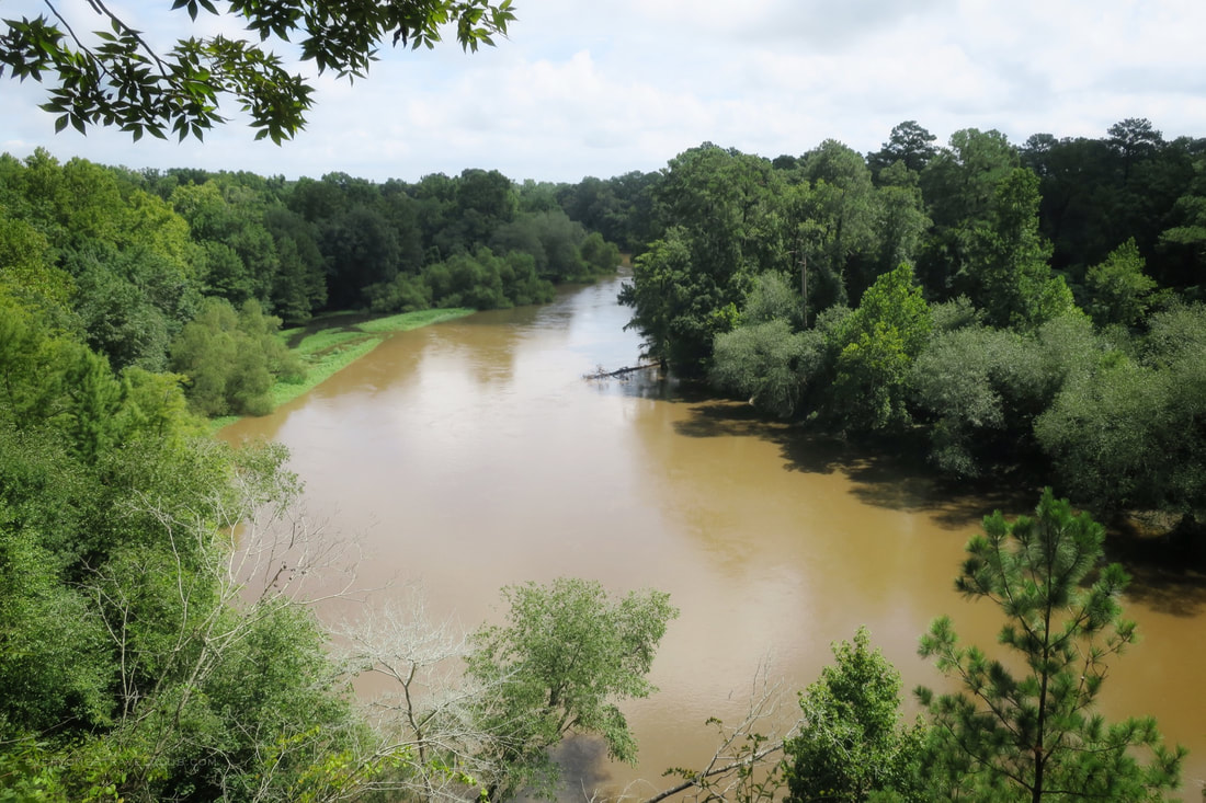
Finally, the cliffs! Or, rather the cliff overlook. Luckily I had searched for pictures of the park before we got there...because...well, you can't really see the cliffs unless you were down on the river. Although you can get down to the river via trails, you still really can't get a good view. I could get a great shot via my drone...but taking off/landing from the park is against the rules. Oh well.
The overlook is great, towering almost 100 ft over the Neuse River. Eastern North Carolina is so flat, so it's amazing to finally get a little height on the situation and look out over the forest and river. Well, another stamp in the passport and NC state park explored. It's interesting to know that although the park is a little off the beaten path, there is a campground and cabins available for rent on site if you wanted to make a weekend out of it. Whatever you do, don't forget to bring your NC state parks passport (Captain Wifey!). Paul & Amber (a.k.a. Captain Wifey) everyonestravelclub.com Links: Map of the park Park factsheet |
Categories
All
We hope you've enjoyed the time you've spent on our site. All images, text and designs are copyright Everyone's Travel Club and may not be used without written permission from us. Email us!
Archives
August 2022
|
|
|
Connect:Contact: |
[email protected] |


 RSS Feed

