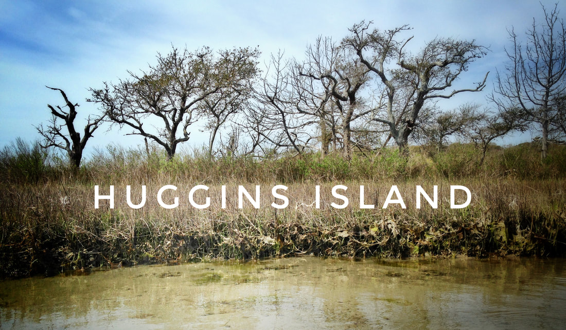
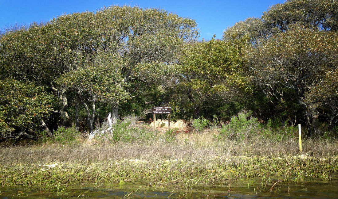
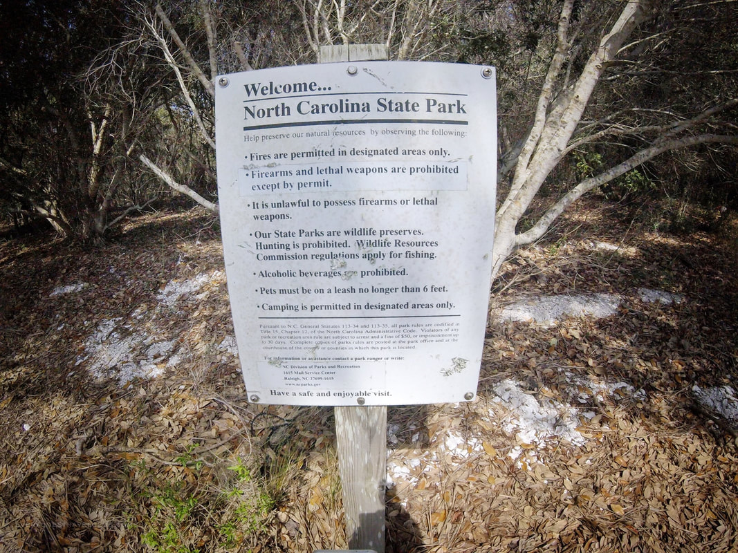
First, the particulars: Huggins Island is a 225 acre undeveloped barrier island located in the Intracoastal Waterway near the mainland towns of Cedar Point and Swansboro North Carolina. It is part of Hammocks Beach State Park. It has significance both ecologically and historically - the island is a maritime swamp forest that was once a Native American hunting and fishing ground and later a Civil War canon battery.
For paddlers in this little corner of Eastern North Carolina, it's a popular route to leave Hammocks Beach State Park on the mainland and circumnavigate Huggins Island. Yellow over yellow posts starting near the kayak launch at the HBSP Visitor Center lead you to and around the island. It's about a 6 mile paddle. Here's a link to the State Park paddle map. End of story? Not so fast! 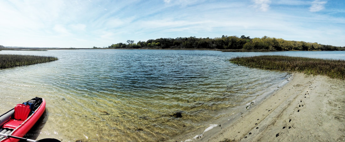
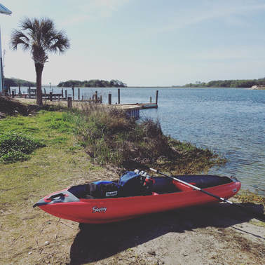
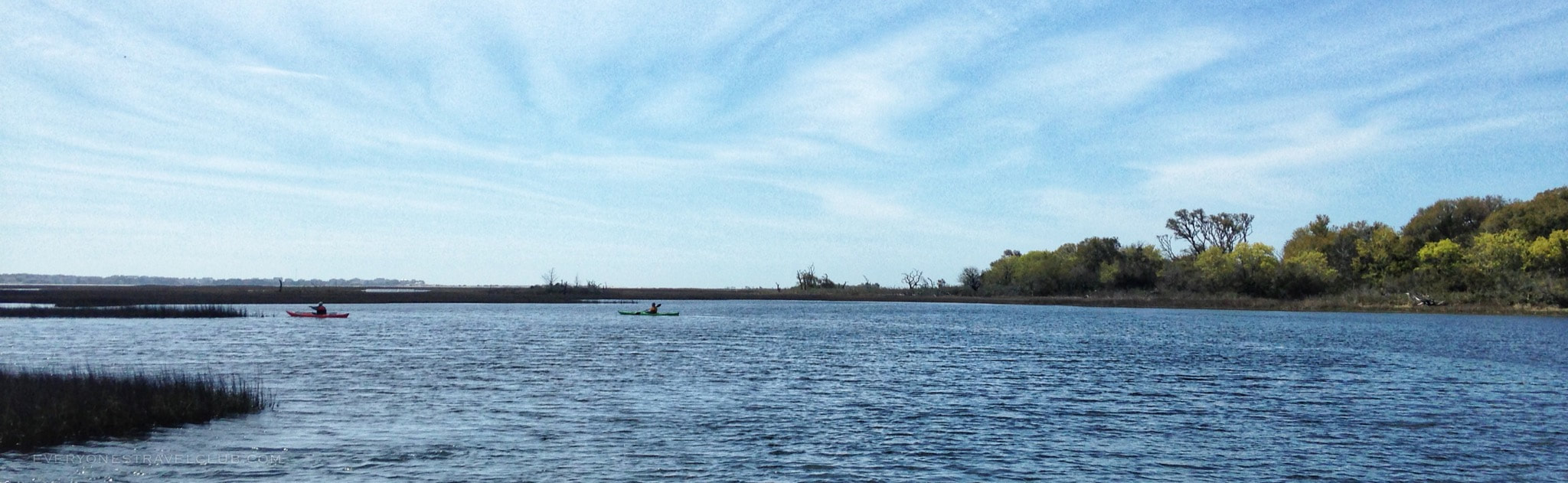
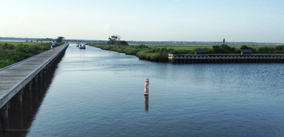
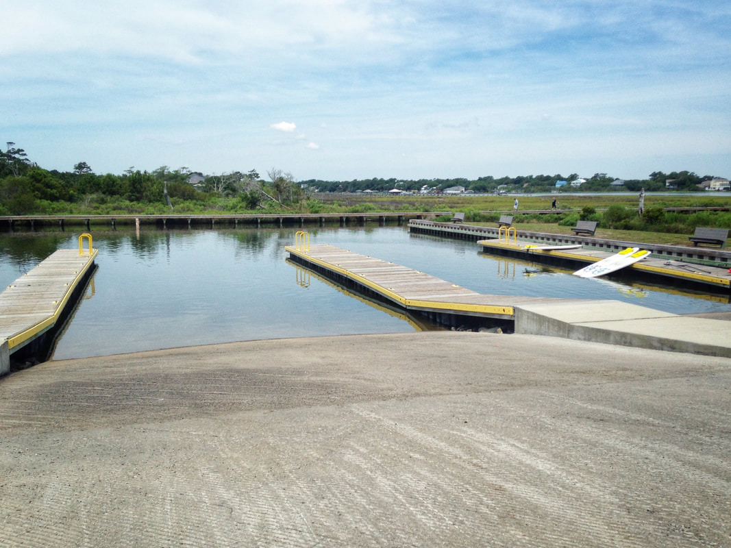
Now, the reason for the clickable title to this article...the easy way to paddle around Huggins Island...is actually a simple adjustment. Instead of launching from Hammocks Beach State Park like everyone tells you to, we like to launch from nearby Cedar Point (the town not the park). The NC Wildlife public boat launch to be exact (this one). You can see Huggins Island from the launch (it's the far trees on the right in the picture). It also allows for a great 1/2 trip that I highly recommend, more on that route in a bit.
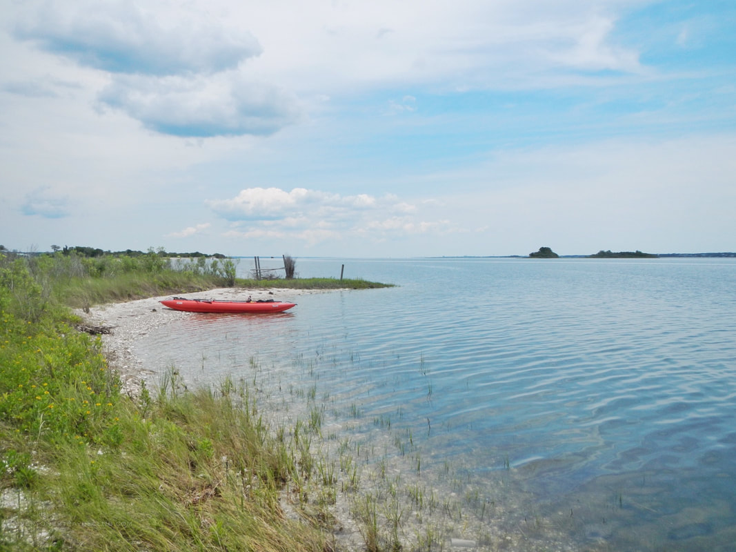
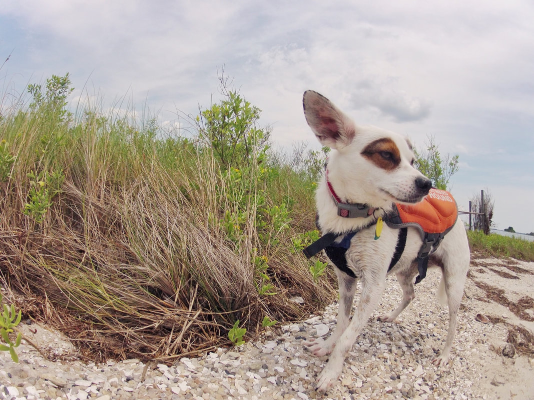
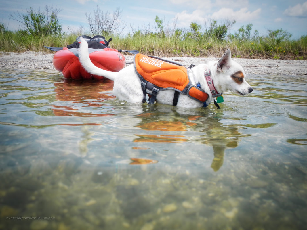
Leaving from the public launch in Cedar Point allows you to island hop before starting around the island. Since I'm often traveling with the mutt, we usually stop for some digging.
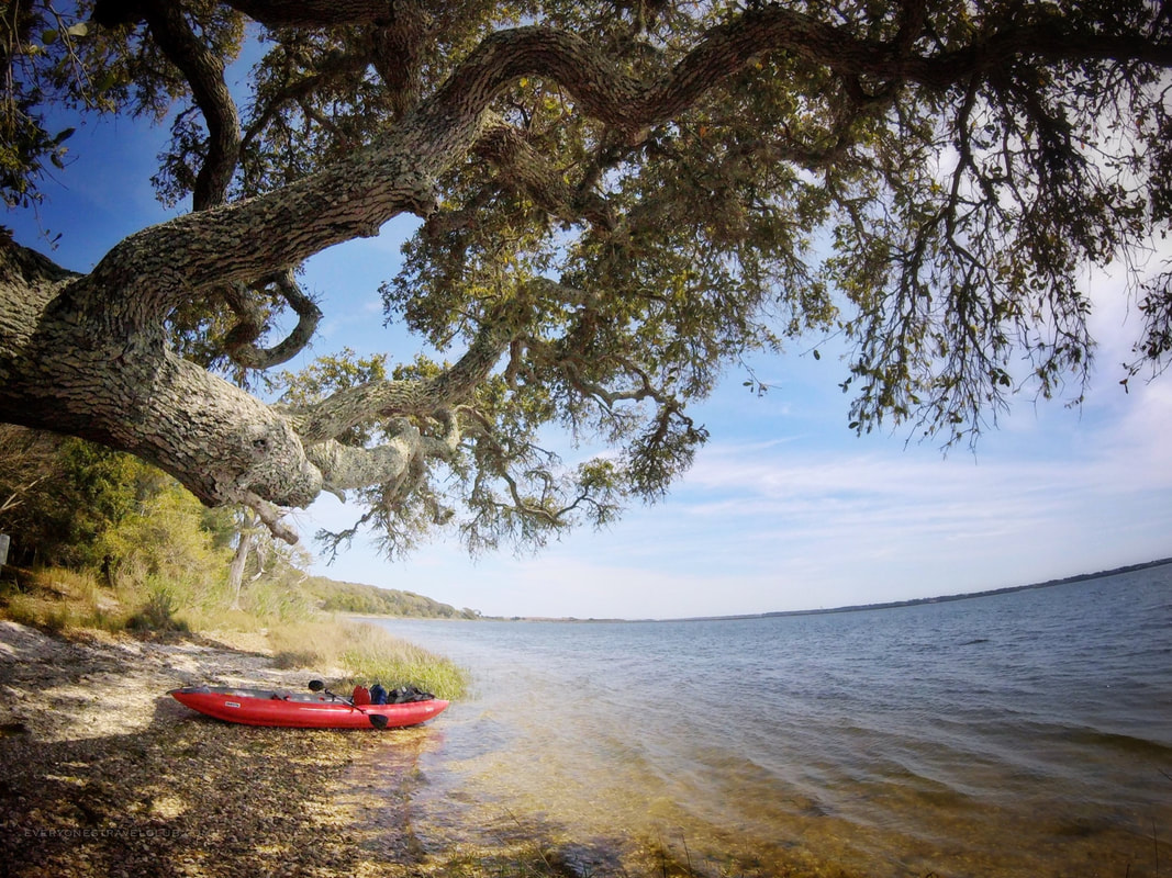
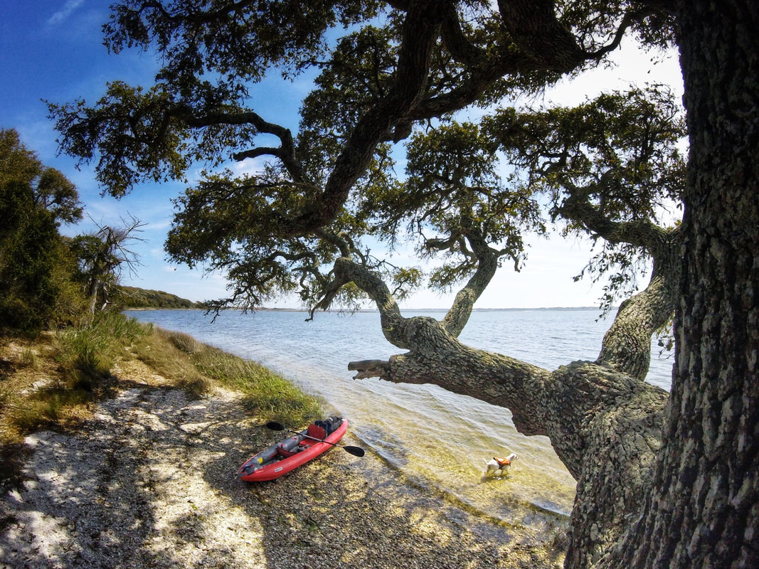
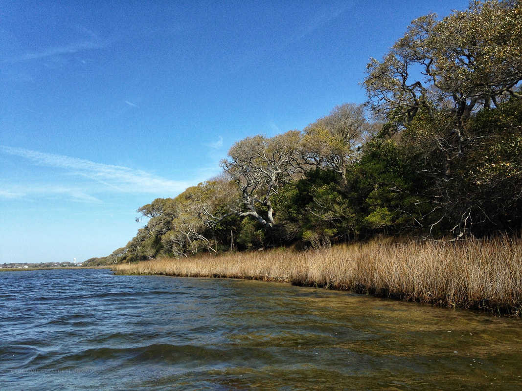
After launching from the mainland, playing on a few sandbars, we paddled around Huggins clockwise from the launch - around the Cedar Point side before the Swansboro side. At first you can usually duck the wind by staying close to the island (the leeward side is usually facing mainland). As you round the island you'll likely be on the windward side of the island so expect a little more breeze and chop. Just before halfway you'll come to a great little stop - a giant live oak tree and shell beach. This is a great lunch spot. The tree is epic.
It's important to note that Huggins is pretty wild with little beach and/or opportunities to explore the interior of the island. I knew that before I paddled, but it was still kinda hard to imagine. The forest is thick and the few beach-like places are covered in shells (mostly broken shells).
The leisurely paddle, with digging island hop stops and a photo break at the giant live oak tree, took us only 1 hour and 25 mins to complete. The wind was light to moderate (8 mph), the chop wasn't too bad, and the current wasn't much of a factor (at the time we left anyway).
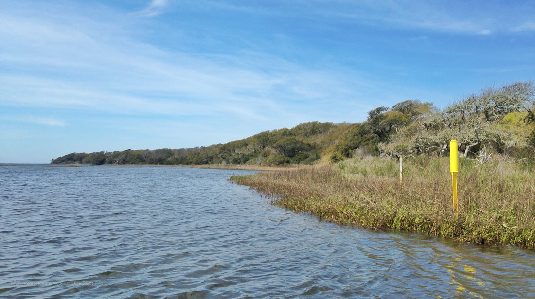
As we rounded the windward side of the island and turned toward the town of Swansboro, the paddling turns into a bit of a grind for about 20 minutes. This is the most monotonous part of the trip - you've got to follow the yellow markers which lead you around the shallow marsh and you're not too close to the actual island (a.k.a. there's nothing to look at!). If I had guests, especially young ones or beginning paddlers, I would skip this side of the island and do a 1/2 trip. It would look a little like this: 1. Launch from the NC Wildlife Cedar Point boat launch 2. Island hop a little - get out and run around on the mini-barrier islands/sandbars you find 3. Start around Huggins (the Cedar Point side not the Swansboro side) 4. Stop at the big live oak tree beach to take a break 5. Turn around and head back the way you came 6. Island hop a little more for fun:) *Check the tides - high tide means not much barrier-island/sandbar beaches to explore 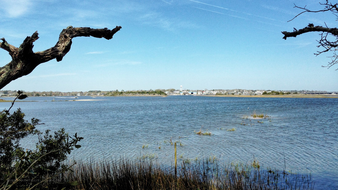
A view of the town of Swansboro from Huggins Island.
So, there you have it! Island circumnavigation complete! Have any questions about the paddle? Let us know in the comments. Wondering where we're adventuring this week? Check us out on social media!
~Paul & Eleanor everyonestravelclub.com When the weather changes or the parking spots fill up:
Plan B: No single parking spots at the public launch in Cedar Point? Head to Hammocks Beach State Park.
Plan C: Too windy? Too much boat traffic? Head inland to nearby Cedar Point or paddle to Jones Island. 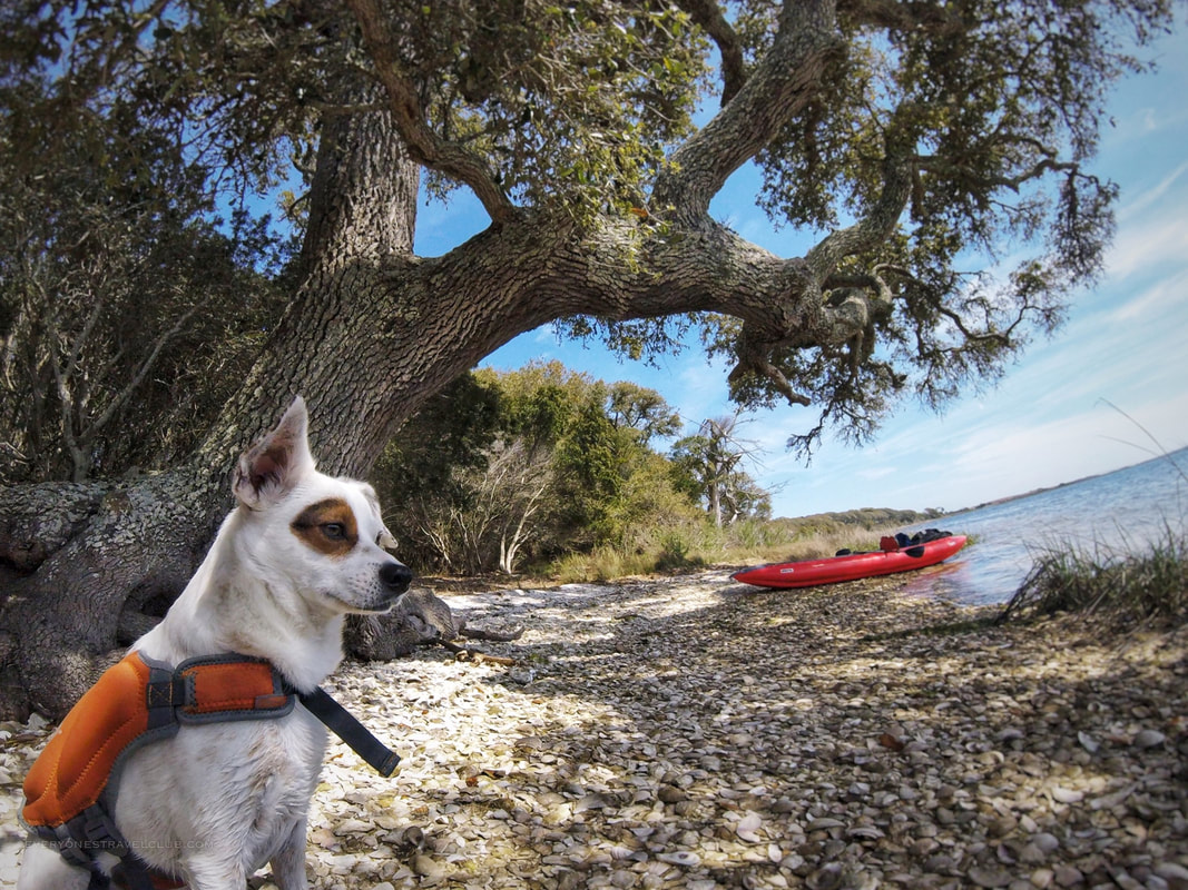
Eleanor contemplating: Should I just move to this island?
3 Comments
Emerald Isle is our go-to beach. Sitting on Eastern North Carolina's 'Crystal Coast', it's near the mainland towns of Swansboro and Cedar Point. It's the closest beach to where we live (about 25 mins away:). Some of its charm comes from the fact that it's not too busy with businesses - it's really just a lot of residential/beach houses and the beach.
On Emerald Isle, access to the water via kayak, stand-up paddle board (SUP), or fishing boat can actually be a little tricky if you're not renting a beach house or especially if you need parking. We've written before about the kayak launch at Emerald Isle Woods, well, the NC Wildlife Public Boat Ramp at Emerald Isle (next to the Chapel by the Sea) is a little farther down, mid-island-ish, and has parking right at the put-in (not to mention it's a proper boat launch with trailer parking). 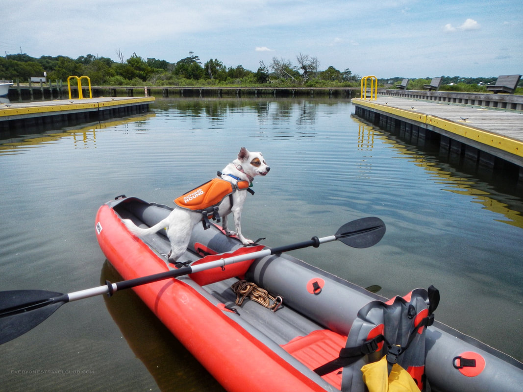
Speaking of parking, there is a good amount of it - 112 truck-trailer parking spaces and 18 single parking spaces. There's bathrooms (sometimes closed during high winds...don't ask me...), and lots of space to launch (4 launches). There is no fee to launch a boat.
If you're a paddler shy of busy boat traffic you can also launch at the end of the waterway (there's an unofficial trail on the other side of the channel from the boardwalk), however, be ready to walk a bit. We use Innova Kayaks so it's not a big deal to walk with them on our backs, but a hard shell boat would be a drag. 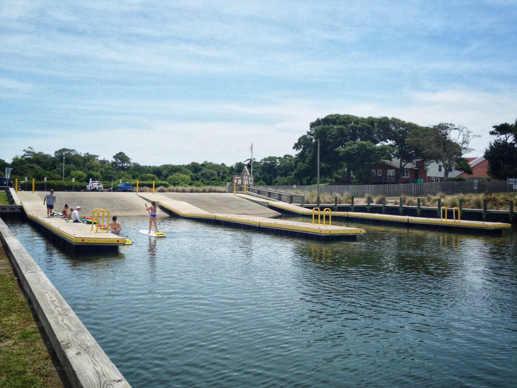
Once you paddle outside of the launch you can house shop down nearby Archers Creek (also known as Piney Creek), or get your barrier island hop on. You're in the Intracoastal Waterway and there's plenty to explore. Know that although tides are pretty minimal around these latitudes, a high tide means not much sandy beach on the barrier islands you may want to explore. Too low of a tide means you may have to stick to the power boat channels even in a kayak due to the shallow water. Don't forget about the current! If you're just exploring it's always a good idea to paddle against the water-flow/wind first so your return trip will be a breeze.
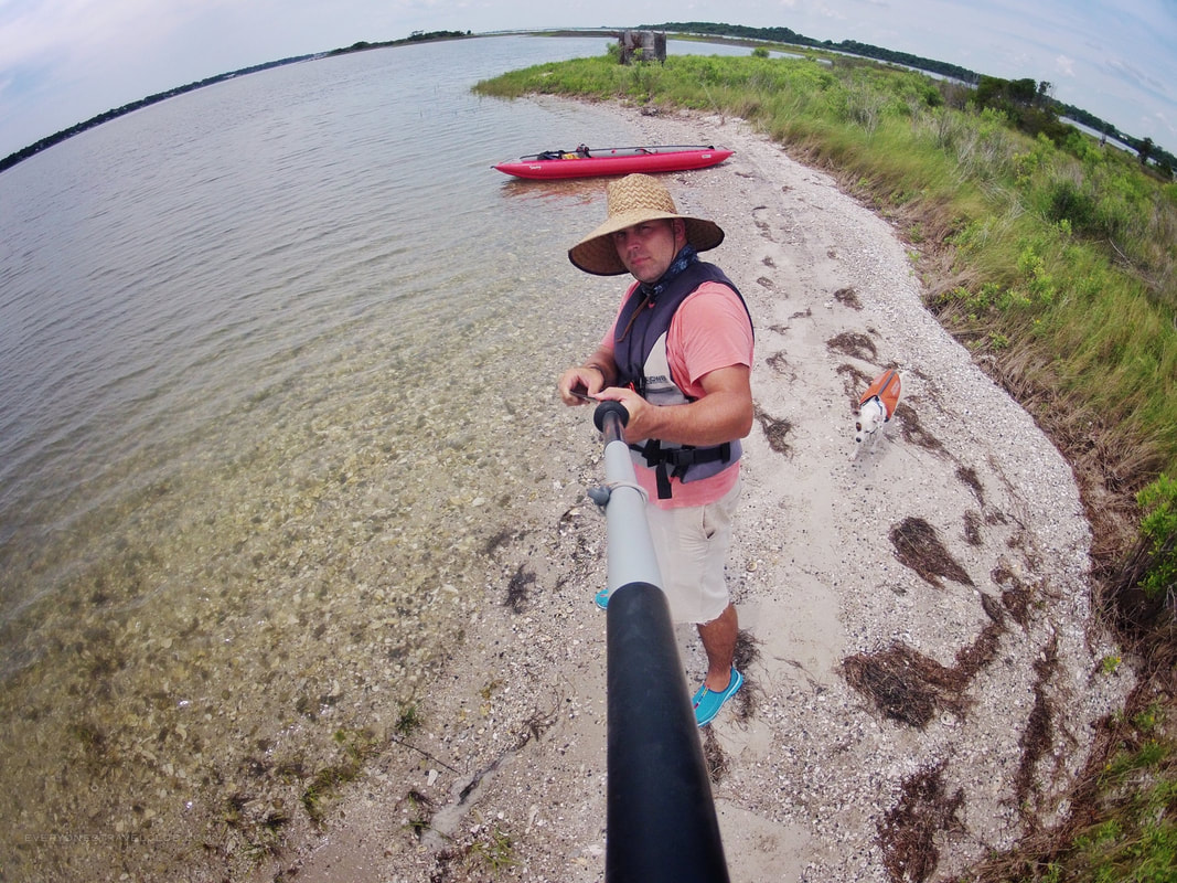
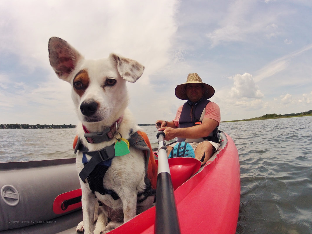
We basically turned our day into a doggie and Captain photo shoot. Man, we look like we know what we're doing!
Bottom line - if you need parking close to the water and want to launch on Emerald Isle, this is a pretty great option. Cons for paddlers include busy boat traffic at times, however, weekdays and early mornings even on the weekend are manageable. Time to island hop. Paddle safe and get out there.
~Paul & Eleanor EVERYONESTRAVELCLUB.COM Address of boat ramp: 6800 Emerald Drive, Emerald Isle, NC Related blog posts: Paddling Emerald Isle Woods  Check out our sweet PNW panorama published in the March 2018 edition of Alaska Airlines' Beyond Magazine! We get requests several times a year for use of our images, sometimes for magazines, church summer camp banners, sailing school brochures, wedding photos, and even from the National Park Service! Depending on the request we require compensation, definitely credit, or sometimes work with the client on a cross promotion. If you see anything you like let us know and we'll get in touch!
~Paul ETC |

Categories
All
We hope you've enjoyed the time you've spent on our site. All images, text and designs are copyright Everyone's Travel Club and may not be used without written permission from us. Email us!

Archives
August 2022
|


 RSS Feed

|
Connect:Contact: |
[email protected] |