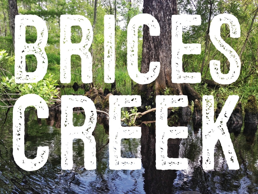
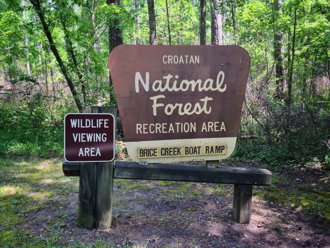
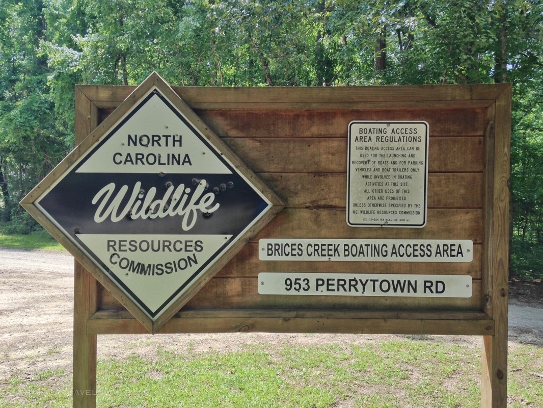
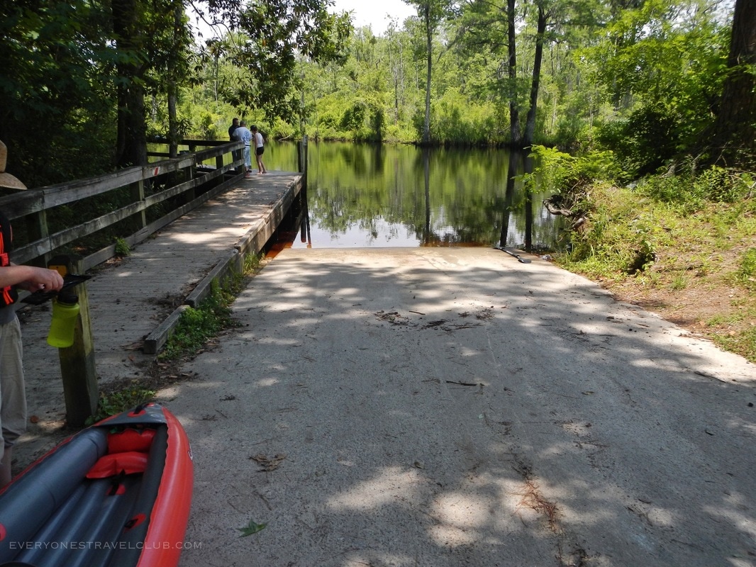
For Craven County paddlers, anglers, and boaters, Brices Creek is a very popular Eastern North Carolina destination. It's close location to the historic and touristy town of New Bern and both the Trent and Neuse Rivers lure experienced and first time paddlers alike. There's multiple places to launch - we decided this time not to use the popular launch right next to Merchant's Grocery/Gas Station - and instead put-in at the nearby NCWRC site off of Perrytown road. There's lots of parking here and a nice little boat ramp (pictured below).
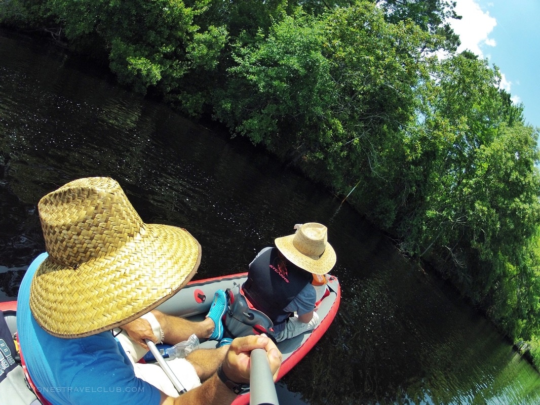
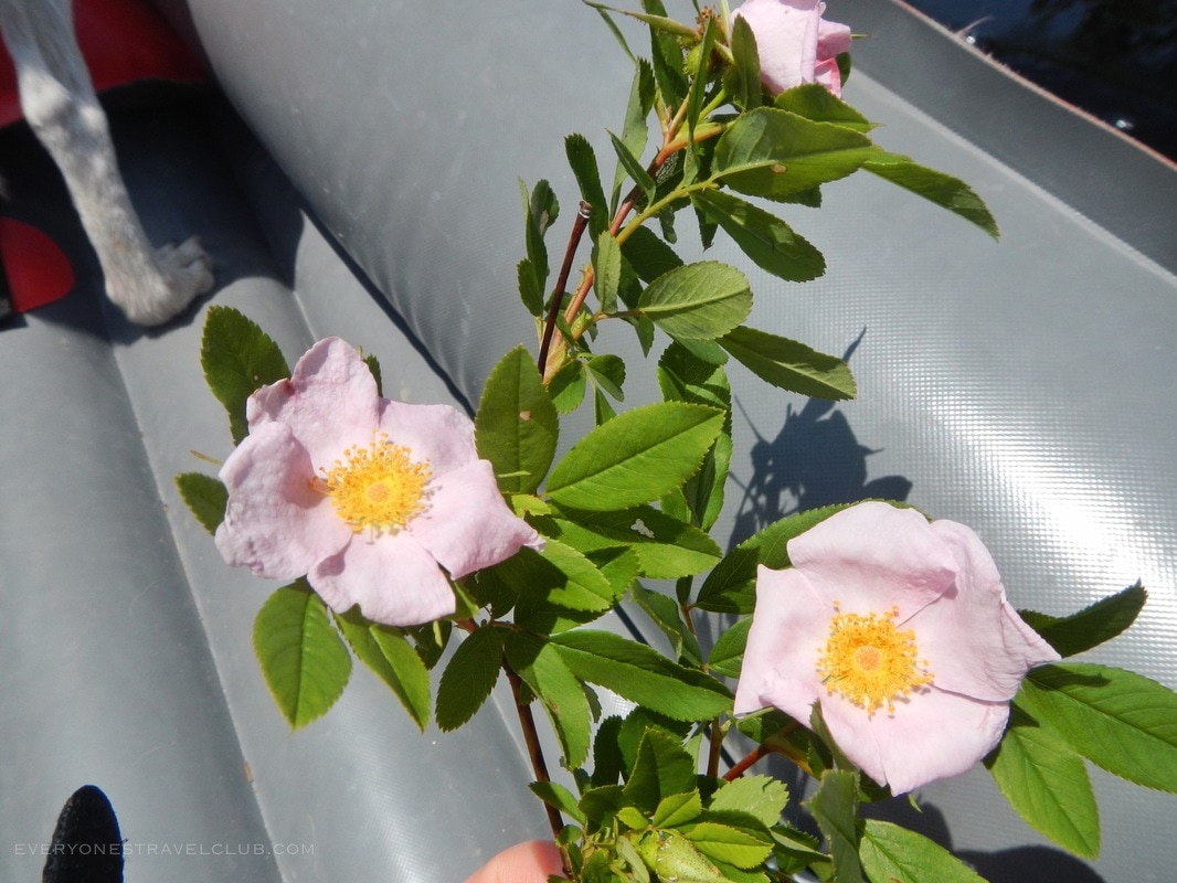
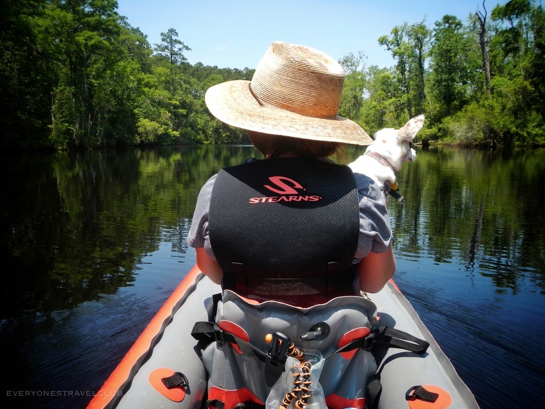
The cool thing about launching from Perrytown is that your trip starts off a little wild - not too many houses. We lazily paddled downriver (an upriver route is possible too). It doesn't take long before you start floating by the mostly residential part of the creek. Early summer means wild roses for days!
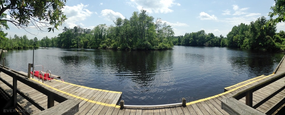
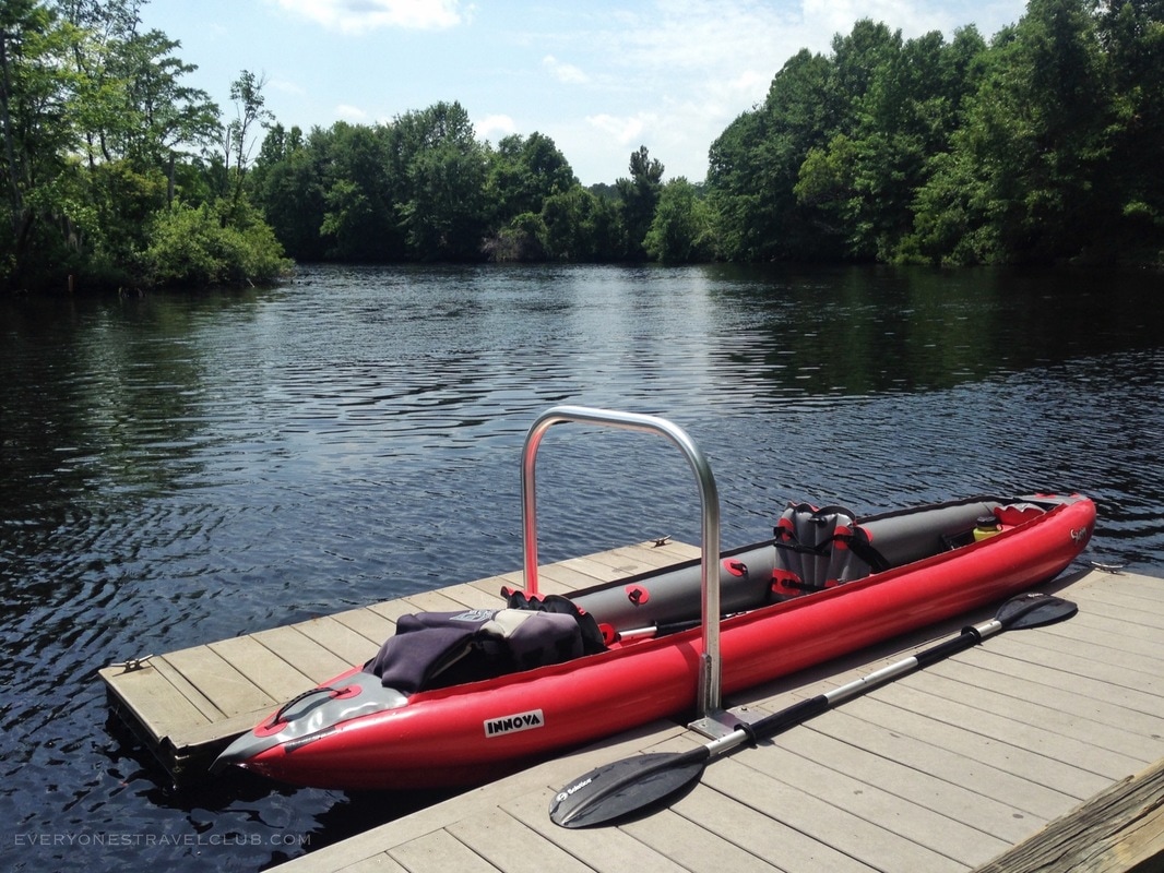
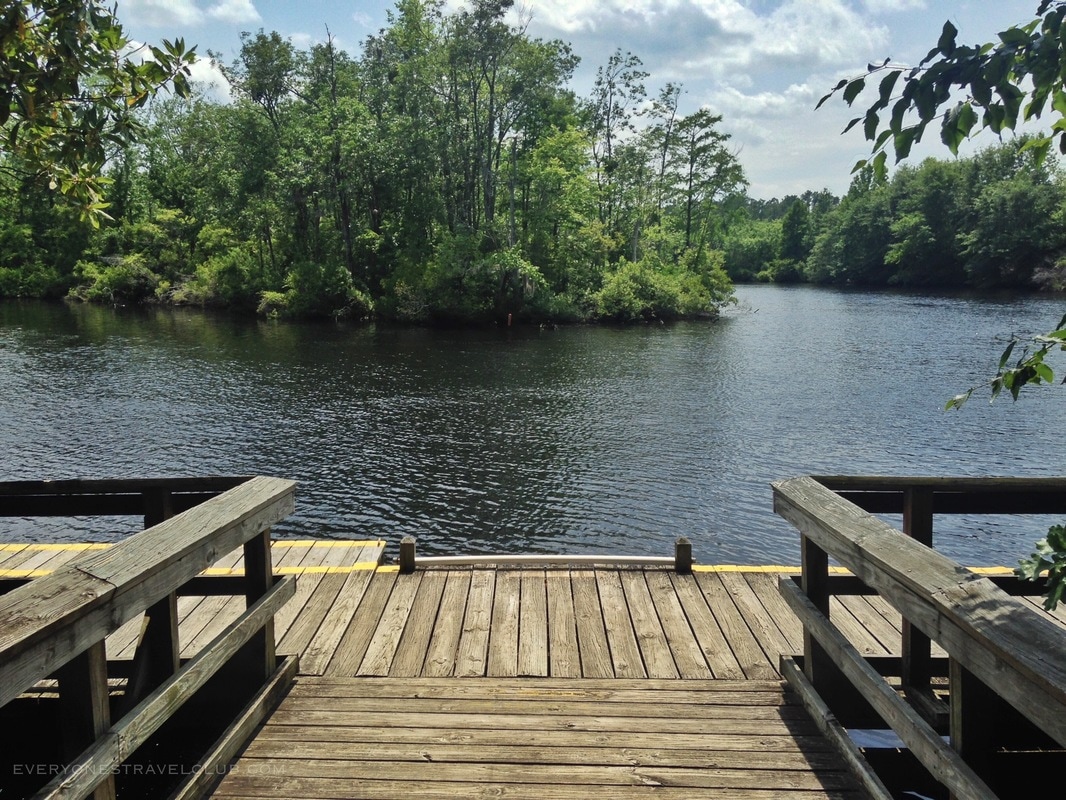
It won't take long and you'll reach the dock at Creekside Park. We did a little pit-stop to refill water and let the fur-ball stretch her legs:) It's a sweet little dock/pier/park - we didn't even know it was here until now - boom!
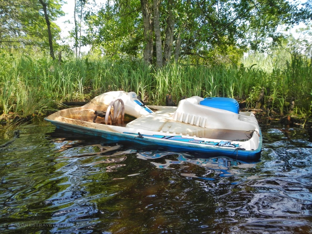
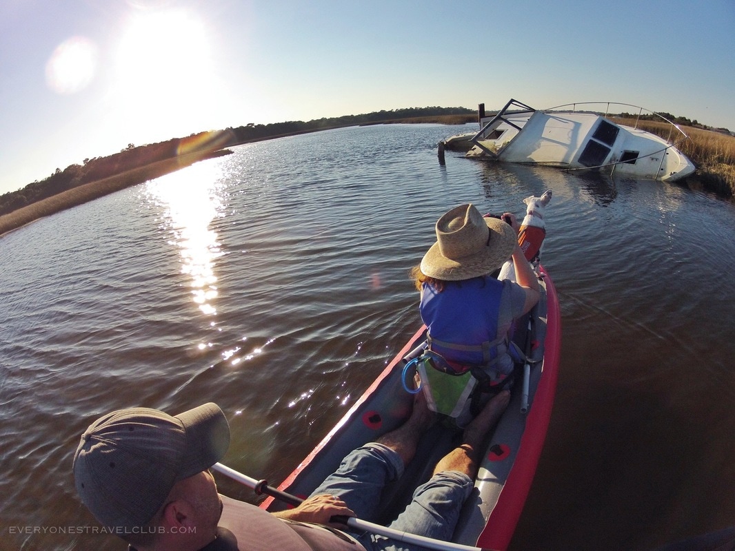
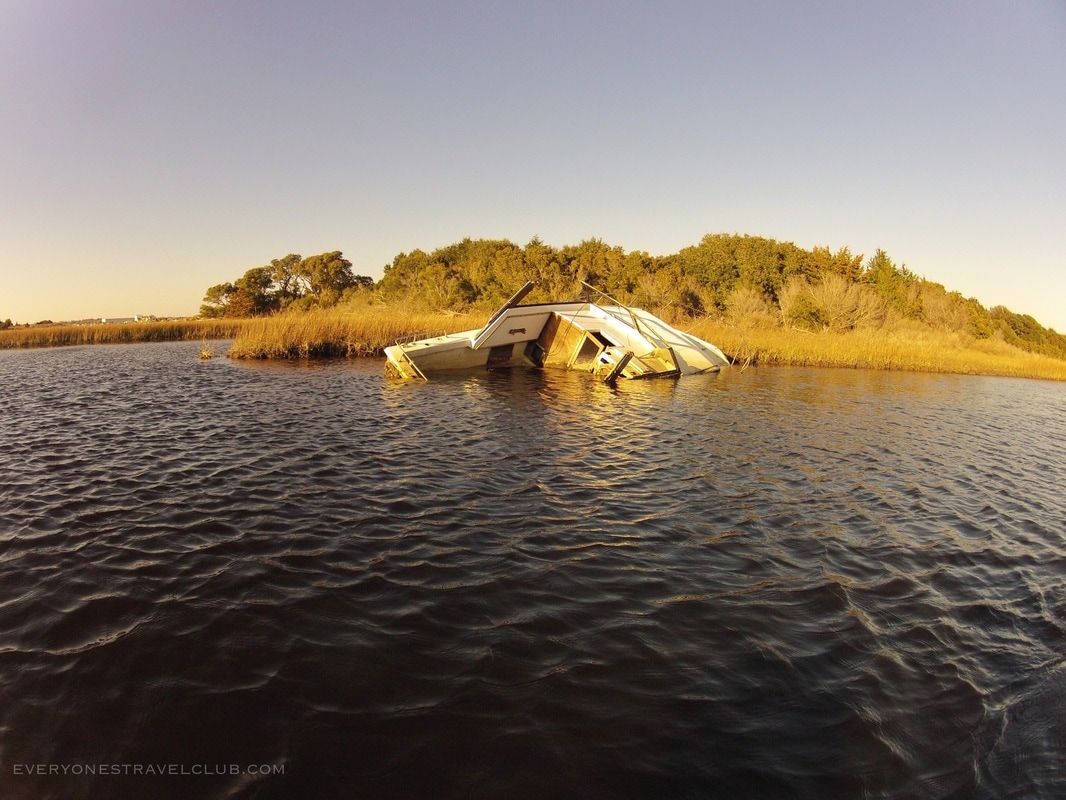
We continued on and passed by a partially sunken ship. Spoiler alert: no gold aboard this little guy.
We spent about an hour and a half on the water before we turned back. We made it from our Perrytown boat ramp past Creekside park and almost to Merchant's (that would be a great place to stop for lunch before the return trip). We were super happy to launch where we did, it was a busy weekend and there was hardly anyone there. Don't forget - other launch sites include the launch by Merchant's Grocery (they offer kayak rentals as well), and further down after the creek meets up with the Trent River at Lawson Creek Park. Lawson is a very popular fishing boat launch - paddlers be careful of the boat traffic. If you're close to New Bern and are seeking a little adventure - you definitely want to give this a try!
~Paul, Amber, Fur-ball ETC
0 Comments
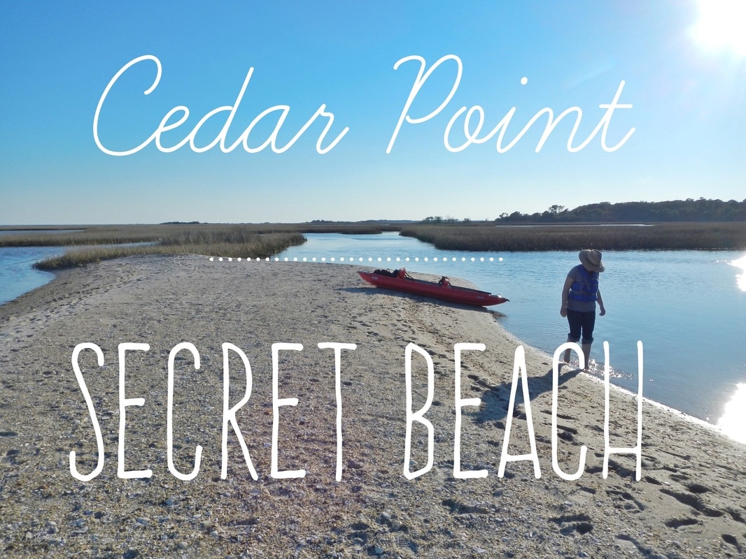
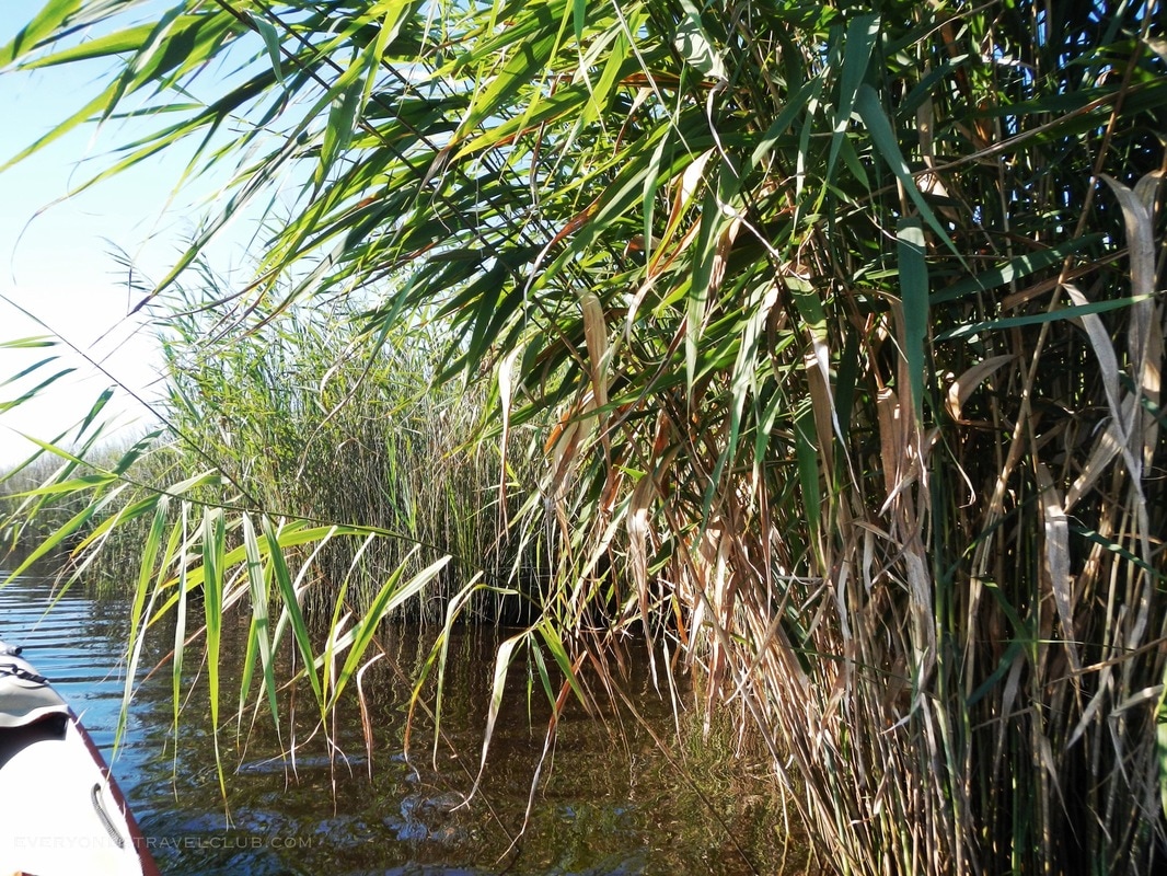
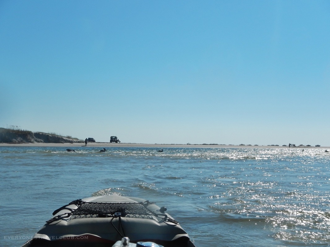
The idea of a secret beach always creates a little buzz. Weekend warriors like myself are always looking for a little undiscovered piece of sand to escape the masses. When I lived in Seattle, I discovered a tide-specific beach accessible only by boat. At high tide the beach vanished below the waterline but if you timed it just right... I eventually wrote an article about the beach and the piece even got picked up by the Seattle PI. Fast forward to my current life in Eastern North Carolina. I've got my favorite spots but they too get a little crowded in the summer. Luckily I shifted into explorer mode and found a few secret spots.
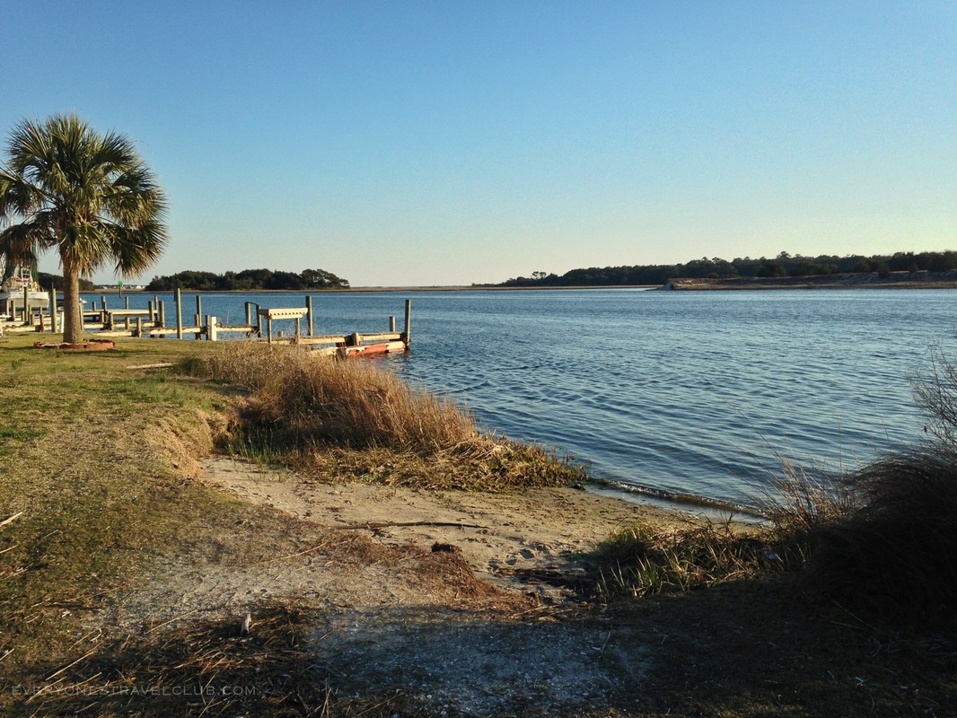
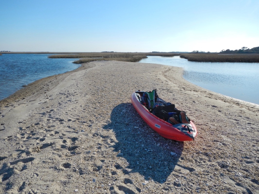
Now, although I blew my cover by sharing the exact location of the Seattle secret beach, I'll not make that mistake again here. However, I will tell you a great place to launch so that you may discover your own secret beach on one of the Intracoastal Waterway's many barrier islands. The little sandy launch site pictured above is adjacent to the Cedar Point Intracoastal Waterway Access, located in Carteret County, just past Swansboro on highway 24 (called NC WRC Boating Access on Google Maps).
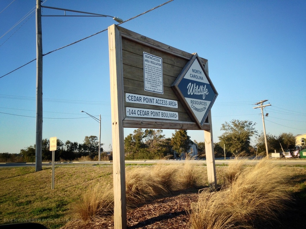
Here, there's instant boat ramp access to the ICW and plenty of parking for trucks & trailers, and about 6 single parking spots (no trailers). On busy weekends the single spots fill up pretty fast. When full, I have parked in the 'boat slip owners only' parking spots (didn't get a ticket...maybe I got lucky?). This boat ramp is close to kayak rentals, restaurants, and plenty of little shops. It's close to both Swansboro and Emerald Isle.
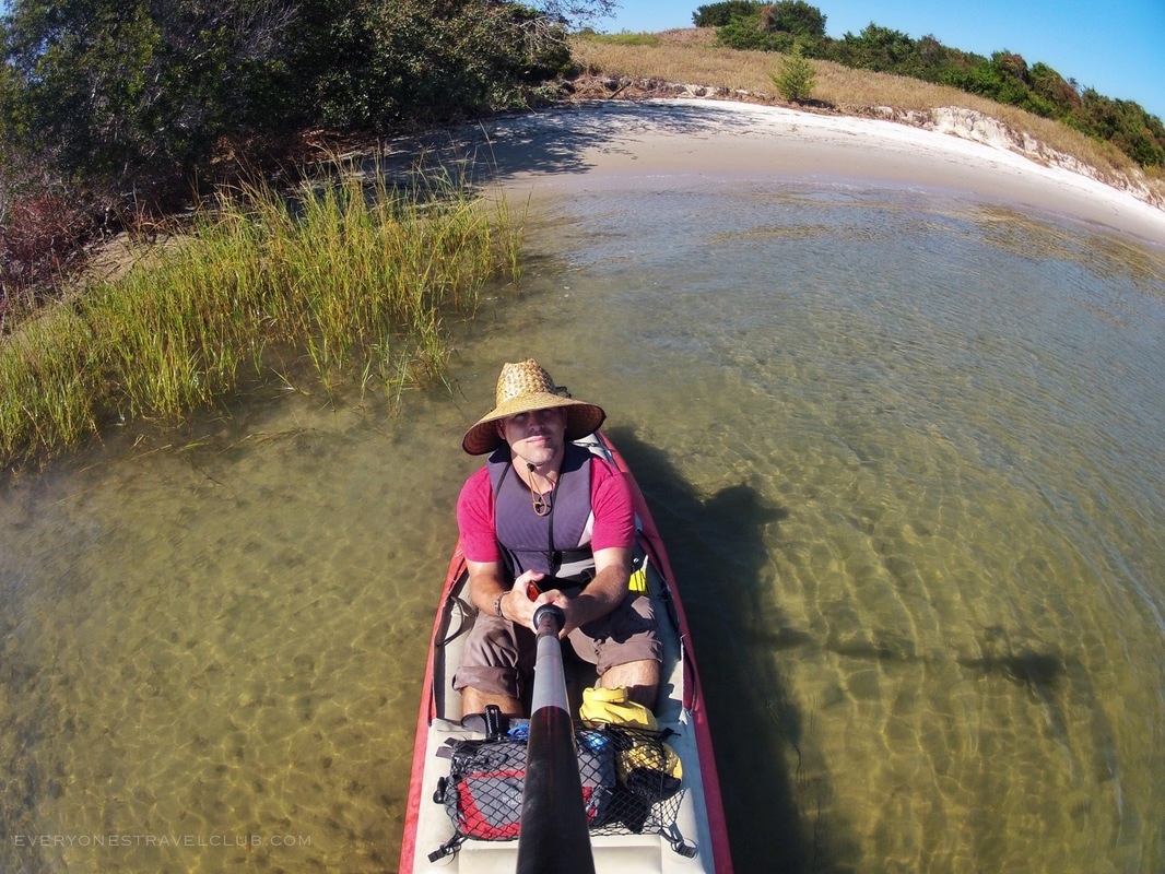
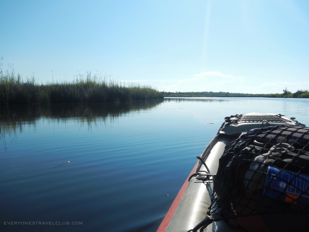
Paddling across the ICW, just after leaving the launch.
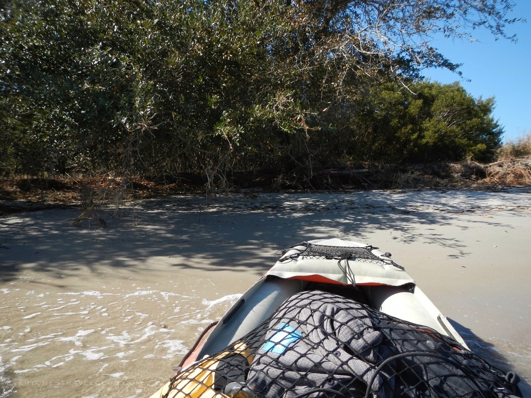
Although I'm sworn to secrecy, I can say that it's a quick paddle and a few turns to arrive at several uninhabited barrier islands with beaches to explore (no camping though). Many of these islands and beaches are no doubt private property, however, the frequency of 'no camping' signs and lack of 'no trespassing' signs is, I'm pretty sure, North Carolinian for "go for it".
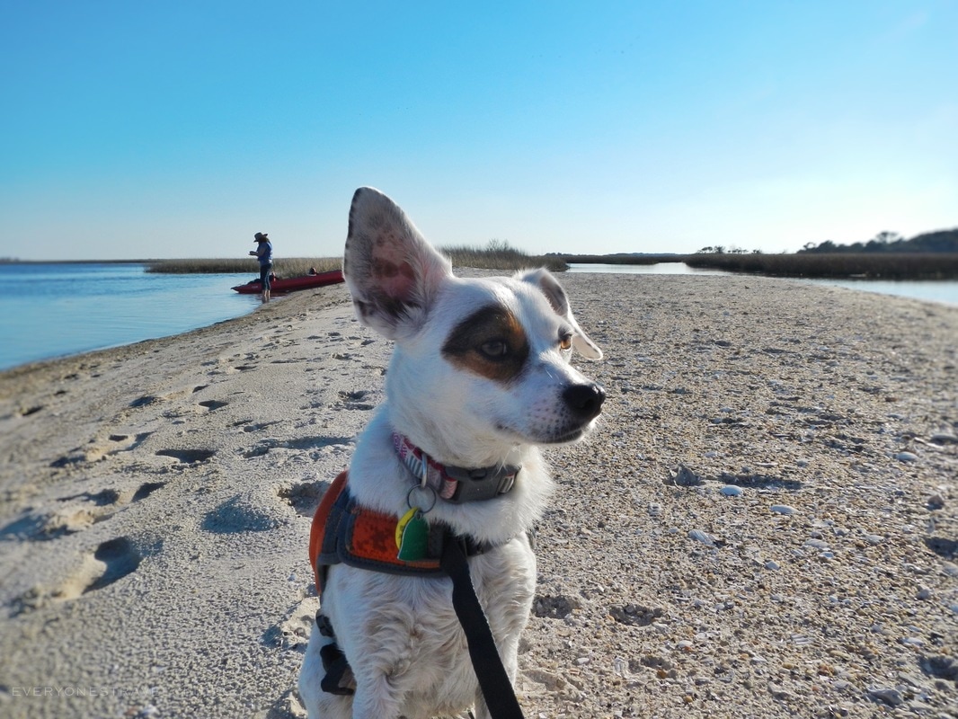
So, we hope we've given you a few leads on how to discover your very own secret beach via the boating access at Cedar Point, NC. It's a great launch if you're looking for a quick, scenic paddle around barrier islands (and if you need a beach to let your dog off-leash!). As always, paddle safe, watch the weather, and check the tides - a return paddle against the wind and current is no fun.
~Paul, Amber, Eleanor ETC P.S. Link to all of the NC WRC Boating Access Sites Plan B: Is the lot full? Too busy? Try plan B close by: Hammocks Beach State Park 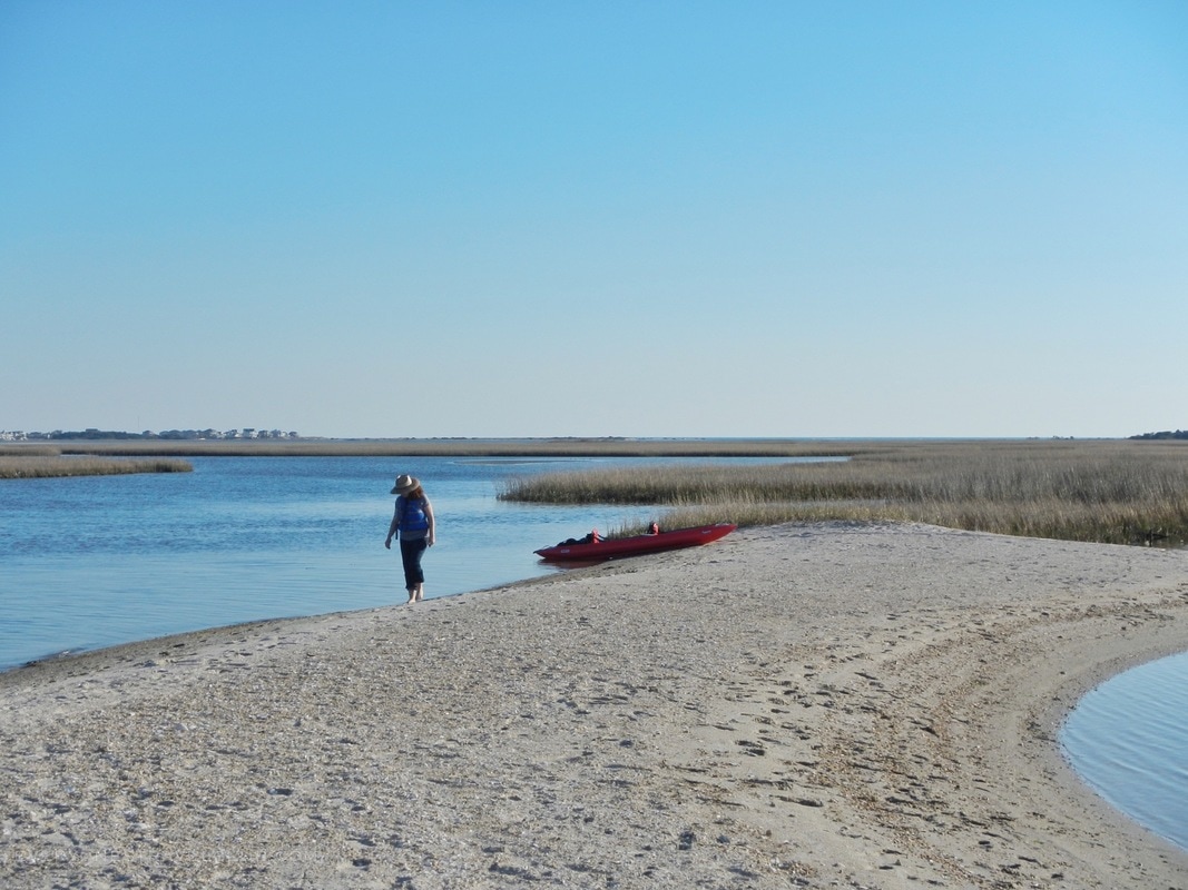
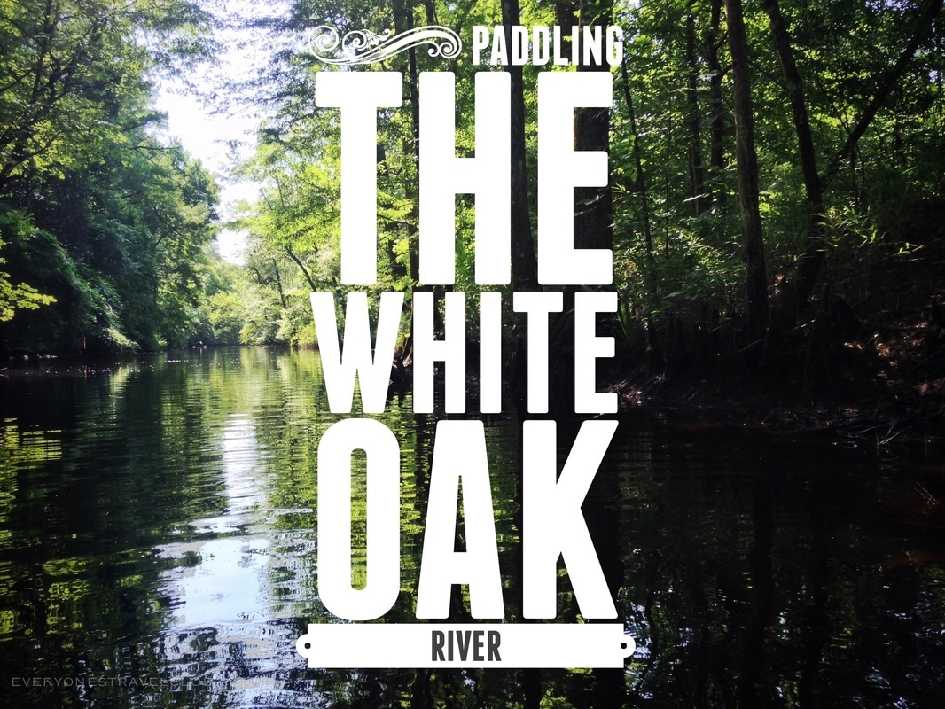
We're back with part 2 of my paddling adventure down the White Oak River in Eastern North Carolina (see part 1 here). Today's post is the second half of the trip, the first brought me from the town of Maysville in Jones County down the curvy, wooded route to Long Point Landing in Croatan National Forest. The regular summer flow of the river and some lazy paddling got me to Long Point in about 5 hours. Next stop: leg 2 - from Long Point to Emerald Isle and the sea!
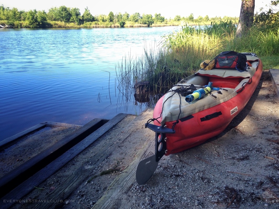
Gone is the winding jungle paddle from leg 1 - now the river widens as we head from Long Point Landing downriver toward the town of Stella (and beyond to the beach at Emerald Isle). I noticed the tide change as upriver as my launch point, so checking out a tide chart for this section of the river is a good idea (especially near the end).
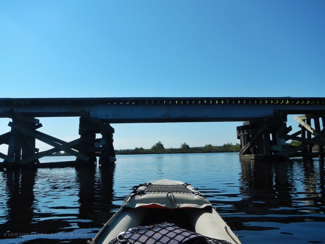
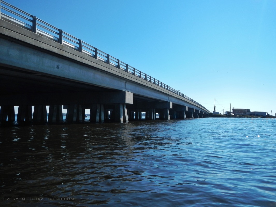
Passing under the bridge in Stella
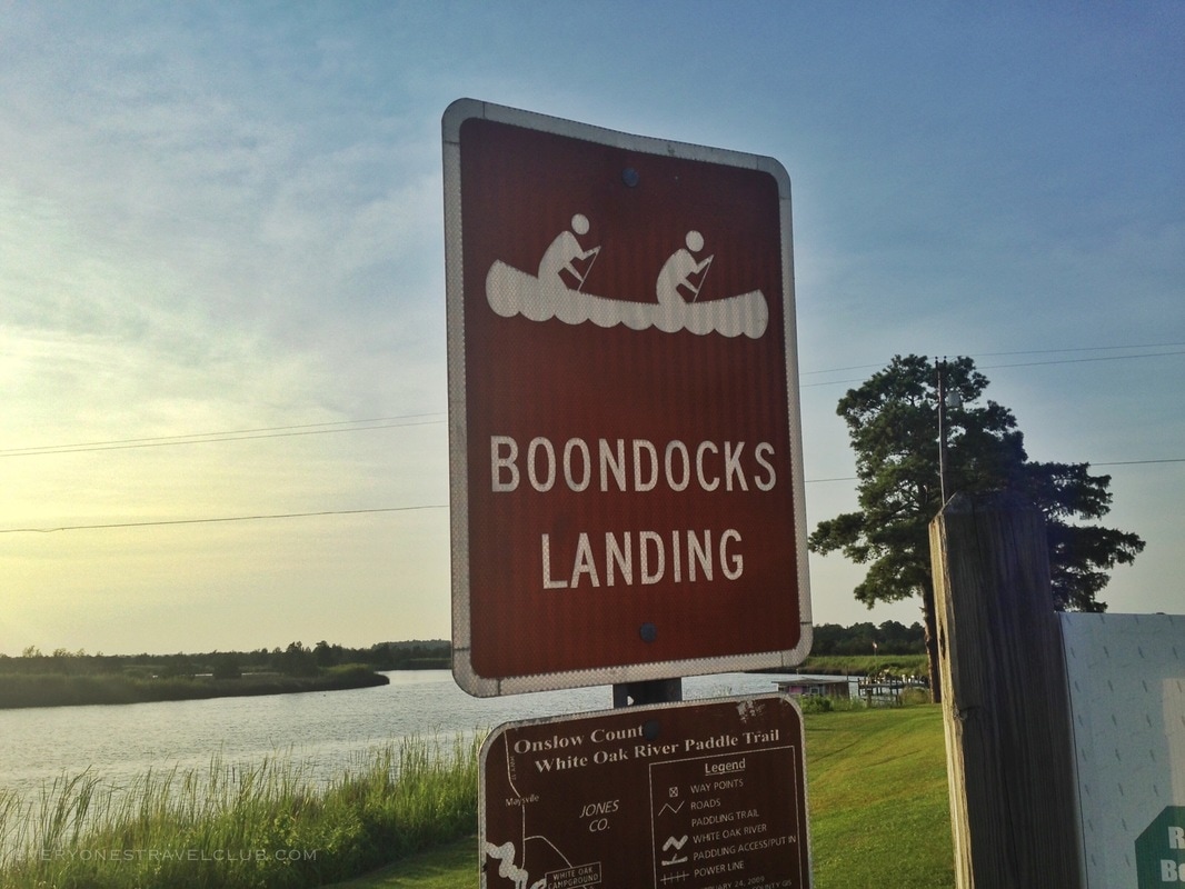
Boondocks Landing boat launch in Stella
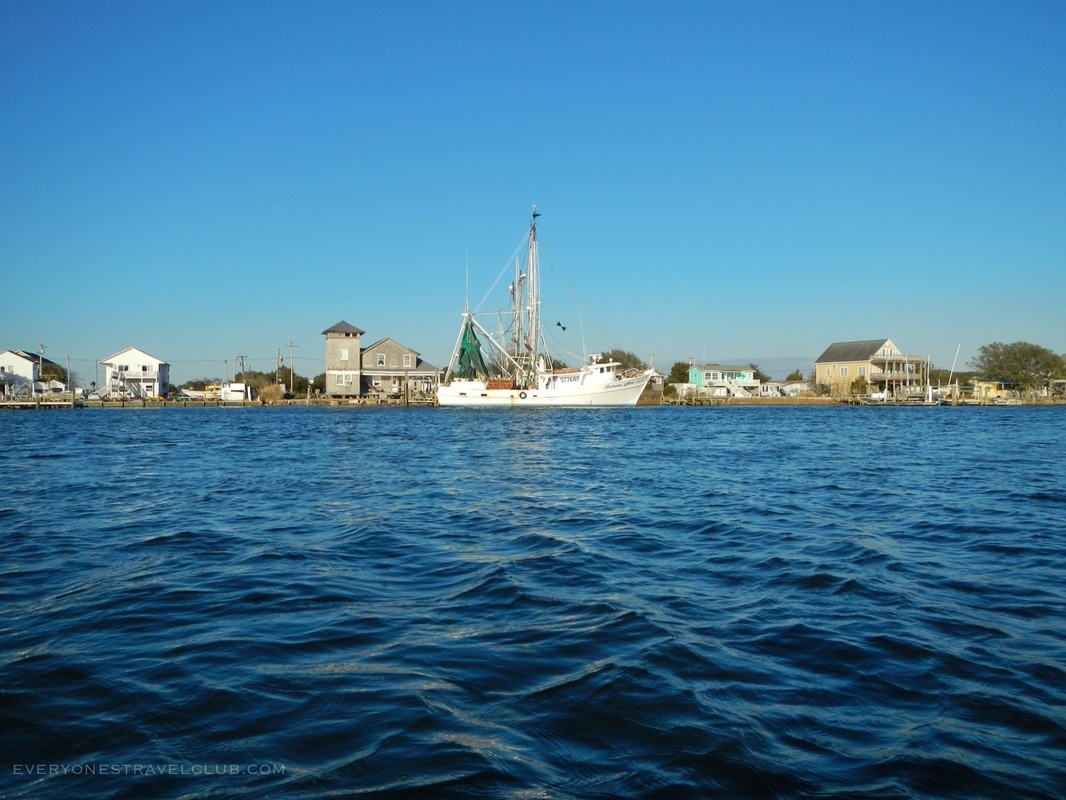
There's another launch point in Stella if you need it (there's a small fee). After this, it's under the bridge and out into the wide White Oak River mouth. You'll eventually pass by Jones Island (see our island post here) and just before the bridge is the town of Swansboro.
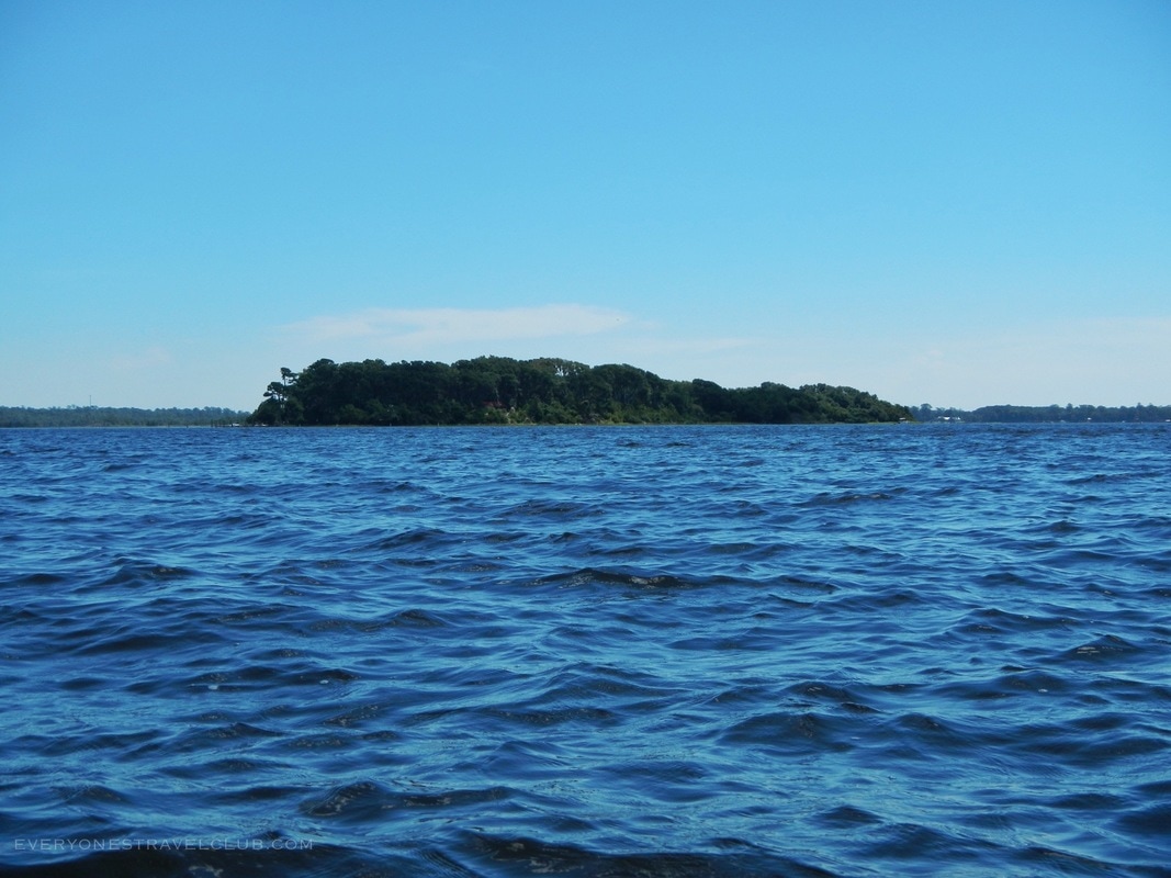
Jones Island
Parked at Bicentennial Park in Swansboro.
The paddle from the town of Stella to Bicentennial Park in Swansboro (pictured above) can really wear you out depending on the wind and tides. Staying closer to shore can help you avoid some of the wind and waves but definitely plan ahead and have some plan B options if you need to cut the day short. There's parking here at Bicentennial Park if you need it.
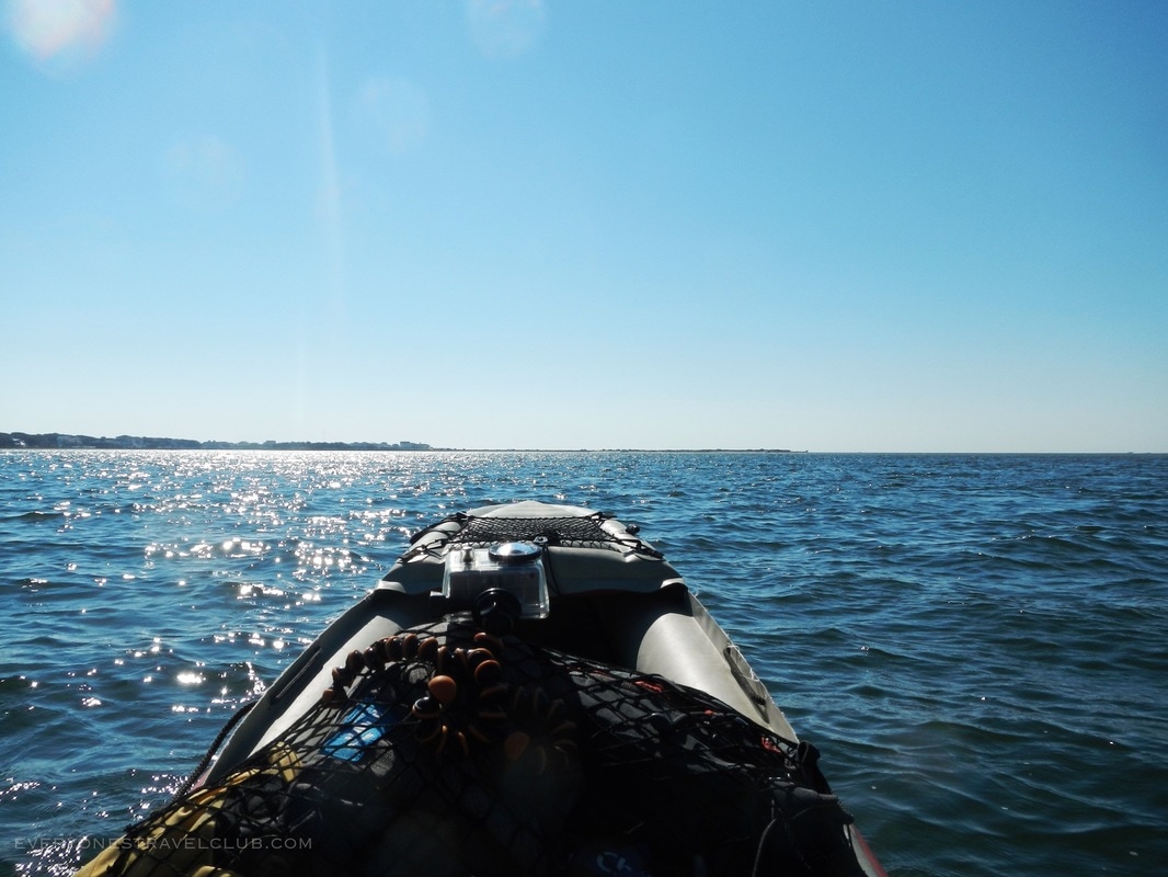
Heading out to Emerald Isle from Bicentennial Park means heading under the Highway 24 bridge - be careful - the current can be quick, there can be a little bit of powerboat traffic, and it can get really shallow depending on the tide. Once you're under, hang a left and cross the Intracoastal Waterway (watch out for boats). From here to the Emerald Isle you'll have multiple island beaches to stop and enjoy. If you play the tides right (I did:), you can paddle out to Emerald Isle from here in less than 30 mins!
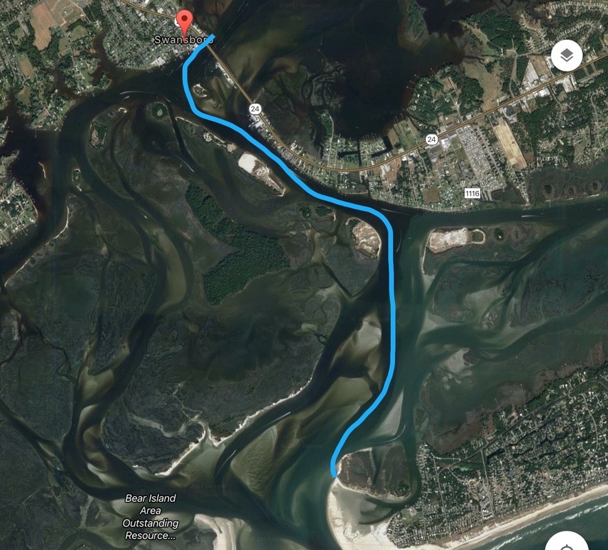 The paddle route from Swansboro to Emerald Isle The paddle route from Swansboro to Emerald Isle
Just like that - I made it from my house to the ocean! It took another 5 hours on this second leg from Long Point Landing to Emerald Isle. One more word of caution: be careful as you get close to Emerald Isle - a lot of water is pouring in and out between the Isle and Bear Island - watch for shallow spots. Would I paddle it again? For sure. It was a blast. To leave Maysville in thick woods on a short, fast, winding river and end up on a salty, white, sandy beach is amazing. The challenging parts included the quick rapids near the Maysville launch, the long haul paddle from Stella to Swansboro, and potential tides and boat traffic in the last bit (from Swansboro to Emerald Isle). Total time for the whole trip (in July): around 10 hours. Snakes seen on the trip: 0. Alligators: 0. River otter: 1. Next step for me? Paddle the short section starting upriver from Maysville...stay tuned for my next adventure on the White Oak! ~Paul ETC Need someone to pick you and your boat up down river? Check out: www.bearfootkayaks.com. They provide shuttle service for paddlers on the White Oak. Currently their shuttle service operates on weekends only. You park at your destination, they meet you there, and drive you and your gear upriver to a launch site. Expect to pay around $25 for the service depending on distance traveled. They're also a great resource for kayak rental if needed. 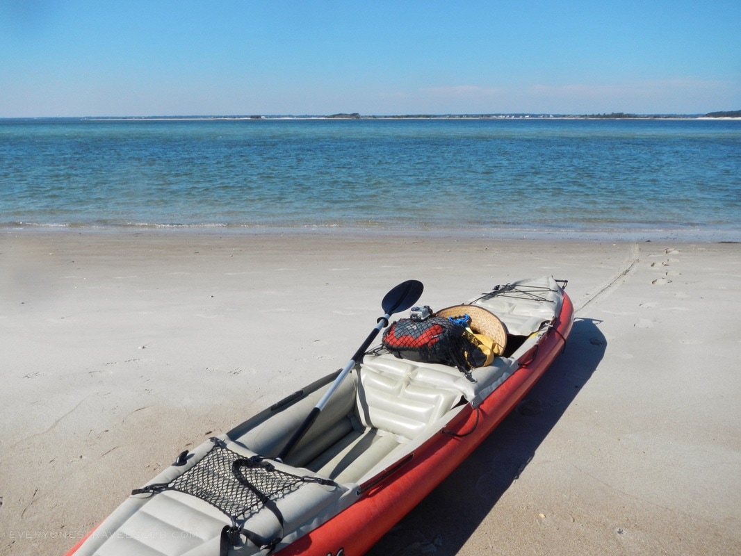
|

Categories
All
We hope you've enjoyed the time you've spent on our site. All images, text and designs are copyright Everyone's Travel Club and may not be used without written permission from us. Email us!

Archives
August 2022
|


 RSS Feed

|
Connect:Contact: |
[email protected] |