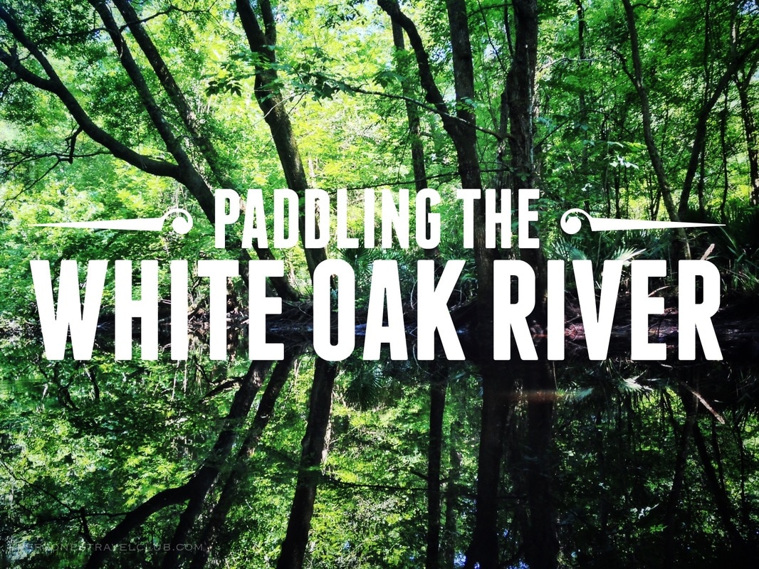
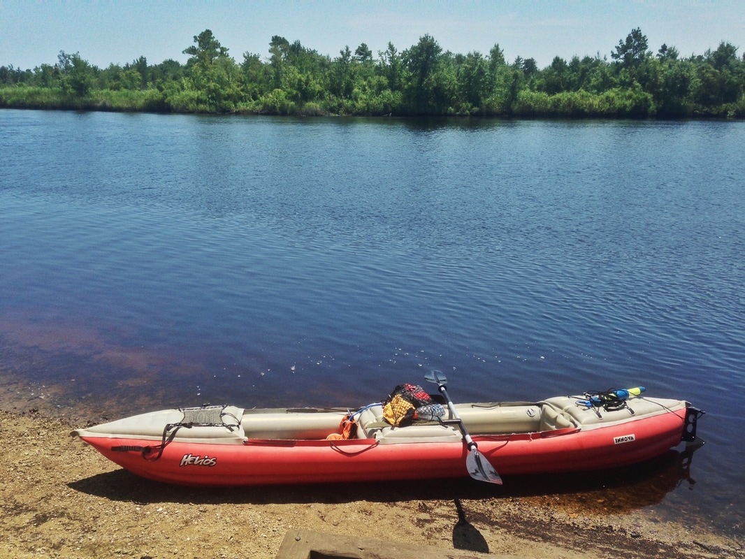
Greetings adventurers! In today's post we take an amazing little kayaking trip down the White Oak River in Eastern North Carolina. This trip had a lot of impact on me - mainly because the White Oak is accessible in walking distance from my house. Since I paddle compact and back-packable Innova Kayaks, I can literally walk with all of my gear (including the boat), and paddle down the White Oak all the way to the sea. Check out part 1 of the journey - from Maysville to Long Point Landing located in the Croatan National Forest.
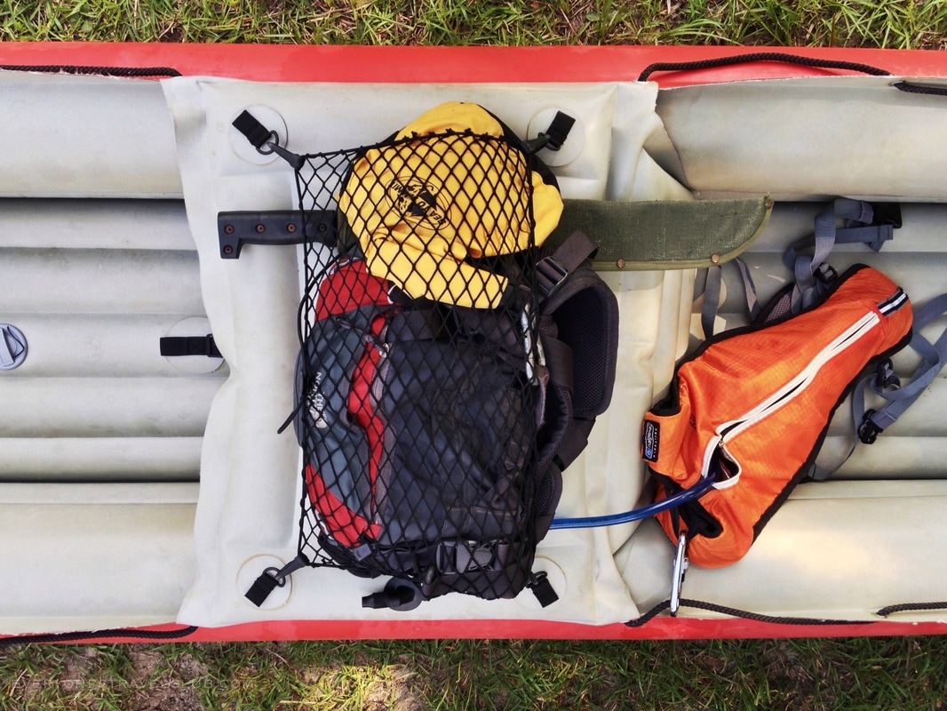
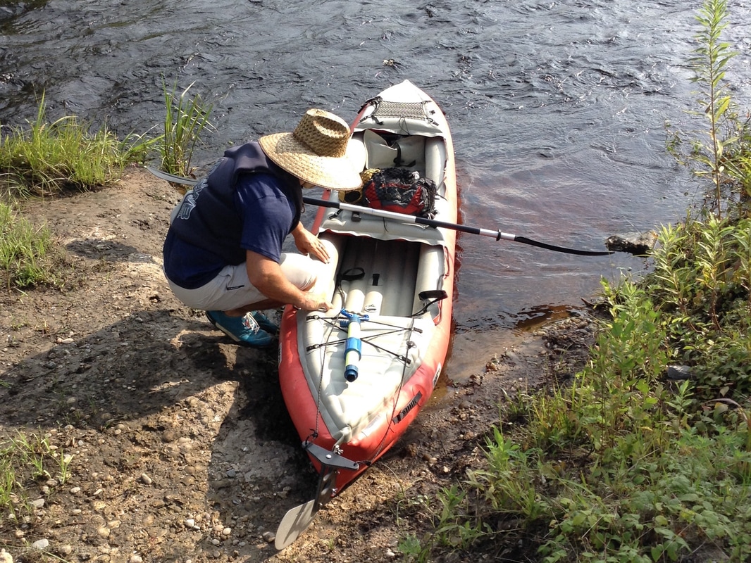
So yeah, that's a machete packed on top of an inflatable kayak. It's summer in the South after all and although my snake and gator karma has been pretty good, I wasn't exactly sure what to expect. That's always been a big motivator for posting these mini adventures here - it's hard to find online info about a lot of these trips. One of the memorable posts I did find about paddling the White Oak didn't involve gators lurking below or snakes falling out of trees, but actually a bit of whitewater that could catch you off guard at the start of the paddle. Great...snakes, gators, and rapids?
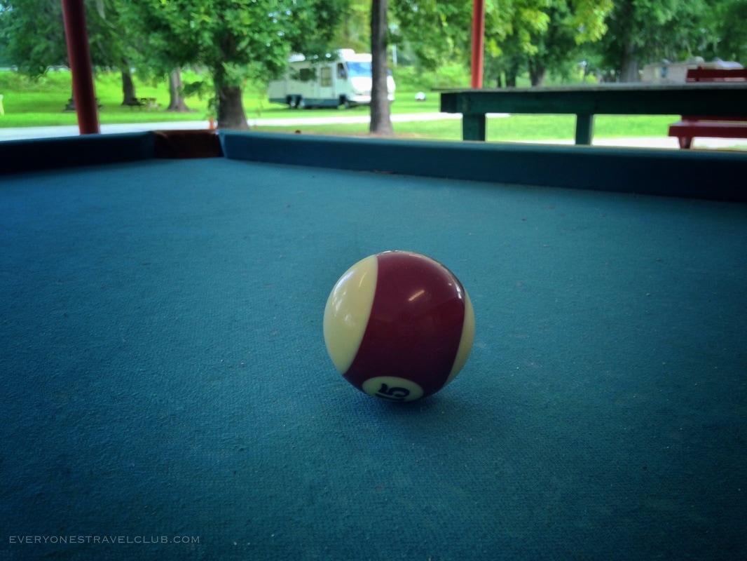
I launched on a summer weekday morning from Maysville's White Oak River Campground. There is a small launch fee, bring a little cash (pay at the fee station near the pool table!). I found a spot to put in near the bridge. The river was moving fairly swift at this point - once you set off hold on and enjoy the current while you've got it!
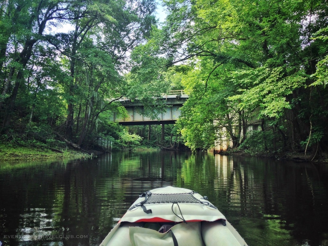
As you begin, just after the campground, you'll quickly pass under an old bridge (different than the one pictured below). This is the quick bit of rapids I mentioned earlier. I followed the flow, kept my nose pointed in the right direction, and made a few hard paddles (and put on the paddle breaks a few times) to pass safely. If this worries you, it is possible to launch from one of the nearby Quarry Lakes.
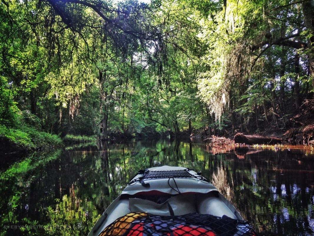
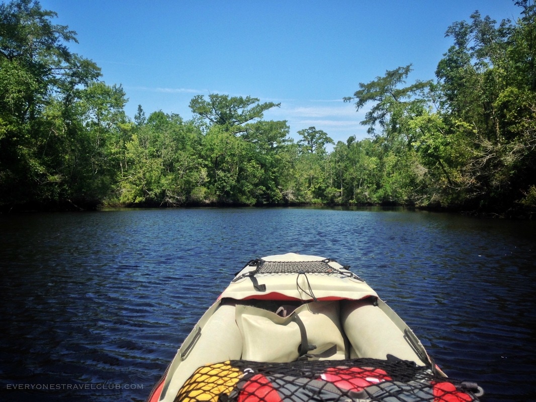
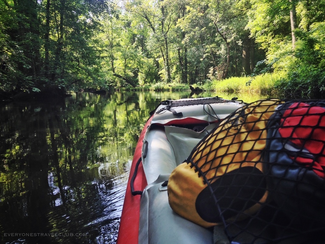
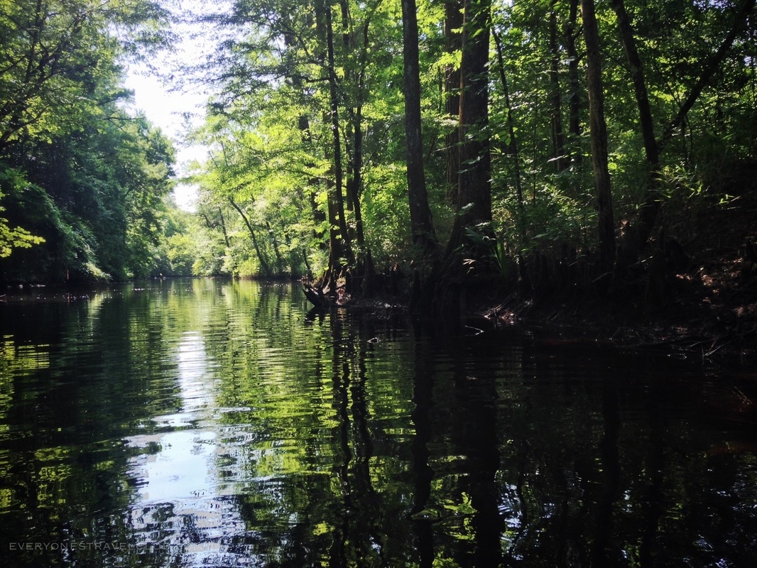
It was helpful (but not completely necessary) to have a GPS as I passed through the winding Quarry Lakes. It doesn't have to be a fancy device - I use an old unconnected iPhone and Google Maps (smart phones have GPS built-in - it works whether you are online or off). Once you pass through the lakes, you'll be paddling one of most fun parts of the trip - a winding jungly route with decent current - as you head downriver to Dixon Field Landing.
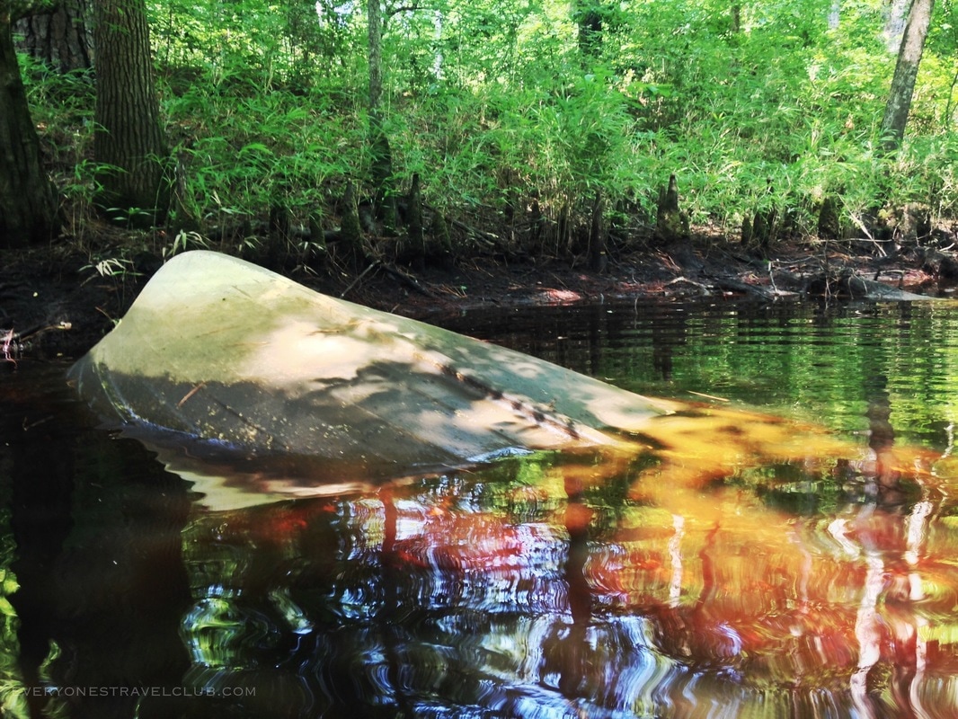
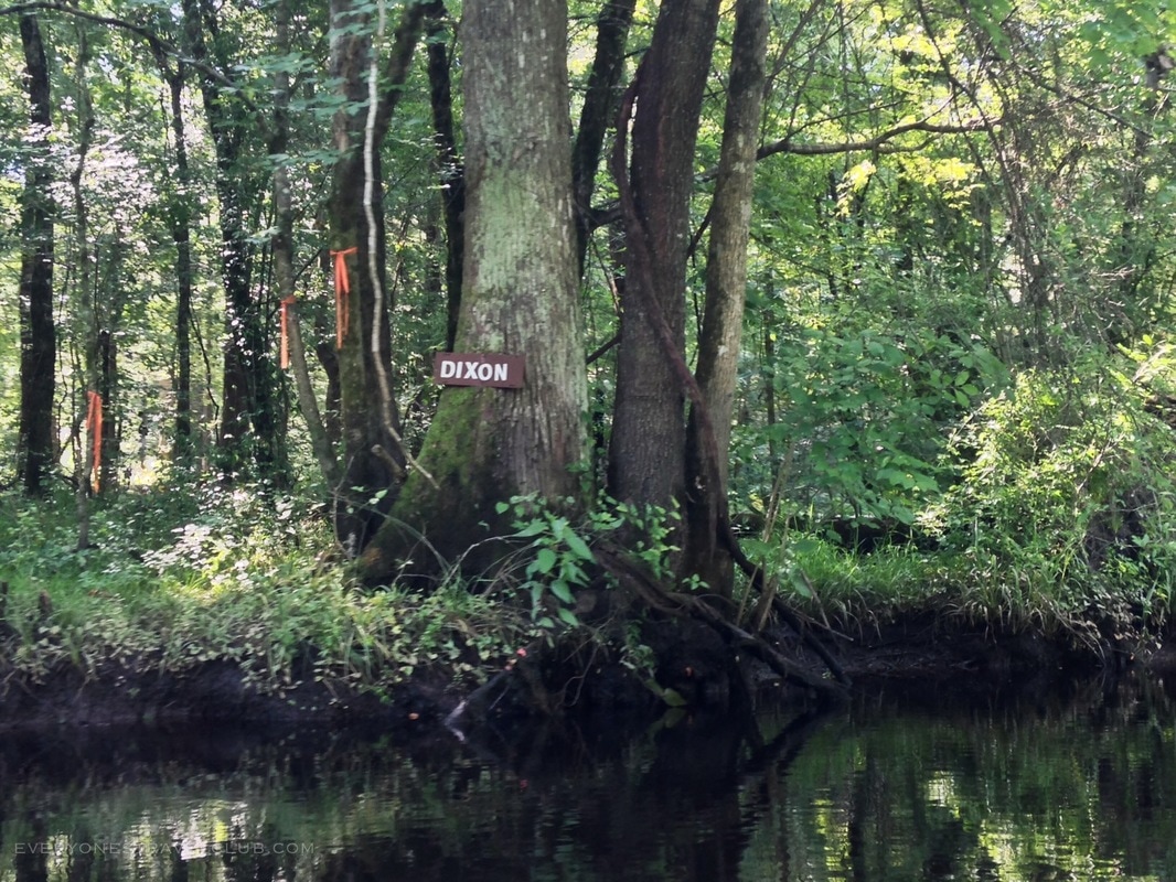
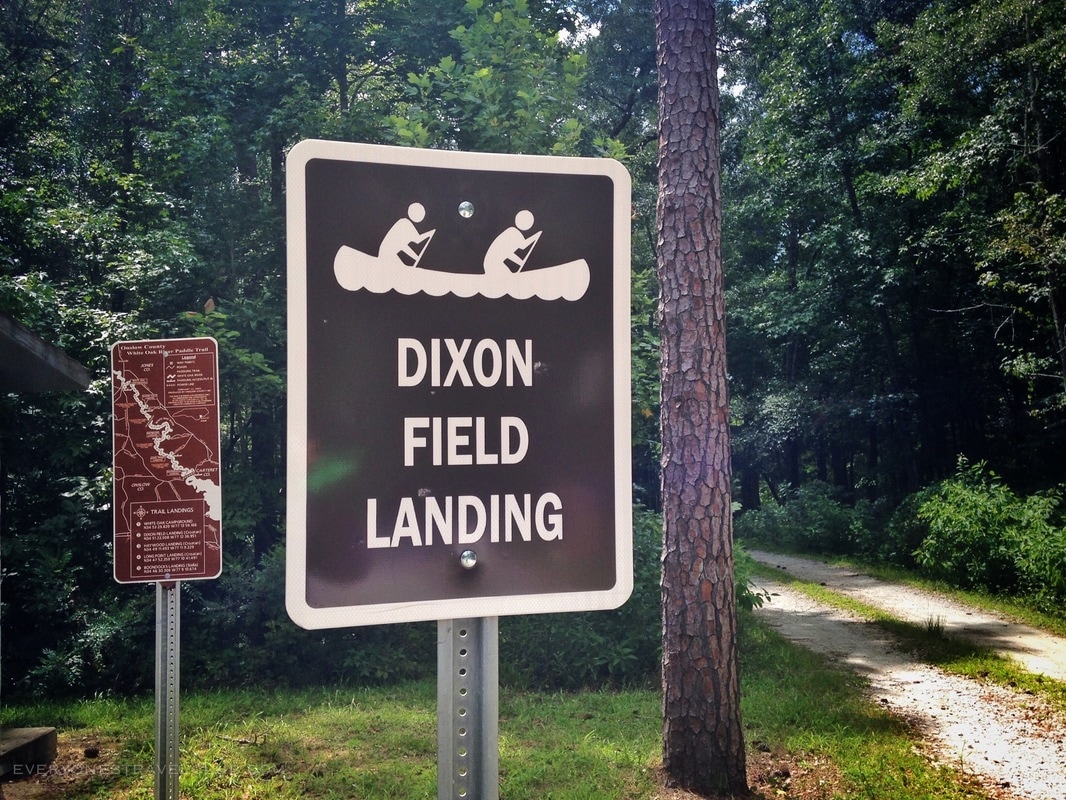
Dixon Field Landing isn't a bad place to stop if you need to stretch your legs. There is a maintained primitive toilet and a parking lot. It is also possible to primitive camp here. Road access leads out to highway 58. Since I arrived here fairly quick, it only took about an hour and a half, I paddled on. After another 30 mins of paddling through the skinny jungle route (with a few blown down trees to carefully navigate), the river started opening up.
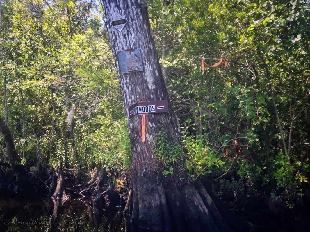
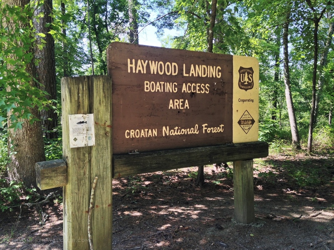
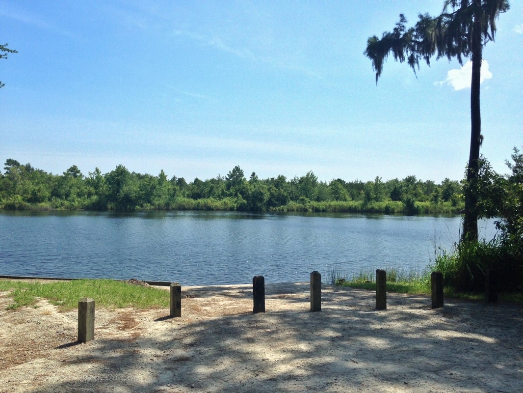
It took me a few hours after leaving Dixon Field to arrive at Haywood Landing. Here you'll find a well maintained boat ramp, a primitive toilet, and a parking lot. There are primitive camping spots downriver from here (not at the landing). I took a break, ate a snack, and stretched my legs.
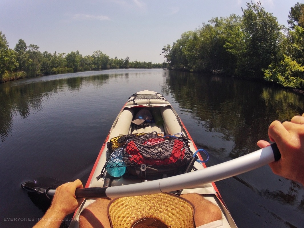
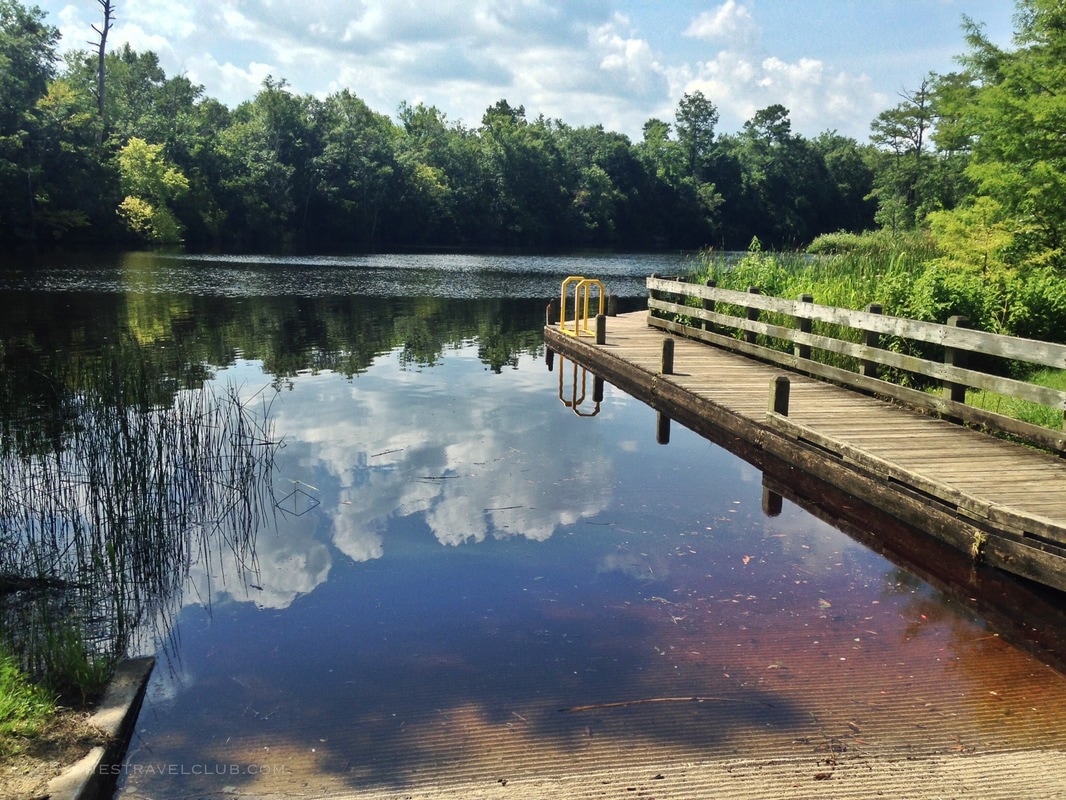
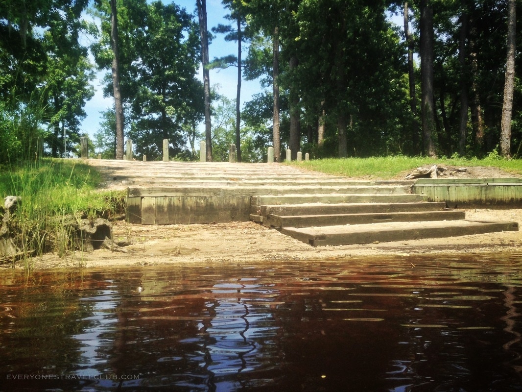
Back in the water! It took only another hour to reach Long Point Landing, my stop for this leg of the trip. Long Point has another primitive toilet and primitive campground spots. I'd probably skip the camping here - it's the easiest to drive to from nearby highway 58 - thus gets a little more traffic than the other landings.
I clocked in a total of 4 hours and 45 mins on the river after launching from Maysville (see the timed travel log at the end of this post). It was a very doable paddle, the only tricky parts were the quick rapids at the start and navigating a few blown down trees around Dixon Landing (a launch from the Quarry Lakes would avoid the rapids completely). I loved the paddle from Maysville to Dixon Field - narrow and jungly. I saw zero snakes or gators, not bad for late July (they may have been watching me though - ha). In hindsight, it turns out that by stopping at Long Point Landing I was about halfway to my final destination - the beach at Emerald Isle. Stay tuned to the blog for the second part of this adventure as I paddle from Long Point to the sea!!! ~Paul ETC Need someone to pick you and your boat up down river? Check out: www.bearfootkayaks.com. They provide shuttle service for paddlers on the White Oak. Currently their shuttle service operates on weekends only. You park at your destination, they meet you there, and drive you and your gear upriver to a launch site. Expect to pay around $25 for the service depending on distance traveled. They're also a great resource for kayak rental if needed.
8 Comments
Billy Hooker
7/18/2017 10:16:23 am
Thank you Paul. I am planning a 2-3 day canoe trip with 6-10 people from my graduating class (First Colonial HS Class of 1980 Va. Beach, VA). This is a huge help in preparing for our trip and deciding our start and finish points. I have family in Craven, Pamlico, Onslo, and Carteret counties and have lived in New Bern and Greenville. I now live in Treasure Coast area of FL. Thanks again Paul.
Ben Barron
3/29/2019 01:38:36 pm
Can you send me link to second leg of this trip? I'm taking my son's from Haywood to Boondocks landing soon.
Holly Root
4/18/2021 04:59:27 am
thank you for sharing this info. I've been wanting to take my paddle board down the river and wasn't sure where to put in or take out and how long the trip might take between the different landings.
Leila Goodwin
3/24/2022 12:43:17 pm
Has anyone paddled the section of this trail between Maysville and Haywood Landing in the last few years? We did it in spring 2019 and it was beautiful, but we had to portage over 3 downed trees. I'm hoping someone can tell me if they are still there. We checked with Pogie's and they have not been on that stretch since then. Leila, I haven’t paddled this section since the article. I can tell you just from regularly driving by the start (at the campground just outside of Maysville) that water levels are way down. I would expect sections upriver from Haywood Landing to be pretty shallow—enough to drag bottom. One more resource to check in with would be the waterkeepers—I think there is one for the White Oak/New River, they might have paddled more recently. Good luck and adventure safe! -Paul
Leila Goodwin
4/21/2022 08:14:47 pm
Thanks Paul. Here is the response I got from two people on a facebook group post: "I went in August...We had to maneuver around a few trees but never had to get out of the kayak for anything." and "main channel is clear...some downed trees in side channels." We are planning our trip for Monday April 25, 2022 - i will report back.
Joel Dunn
4/25/2022 06:44:38 pm
Reporting back on behalf of Leila. My wife Jan and I joined Leila and her husband Steve for this paddle today (4/25/22). It was a very enjoyable trip, about 4 hours and 20 minutes from Maysville to Haywood. The water level was way down, and we did have to get out and wet foot it to get the canoes over the “rapid” but otherwise no blockages. There were a few times we had to scoot the boats over logs that would be submerged at higher water levels, and we drug bottom a few times in the upper riffles. The wind kicked up at the end and the last hour was a slog to get to Haywood. Leave a Reply. |

Categories
All
We hope you've enjoyed the time you've spent on our site. All images, text and designs are copyright Everyone's Travel Club and may not be used without written permission from us. Email us!

Archives
August 2022
|


 RSS Feed

|
Connect:Contact: |
[email protected] |