|
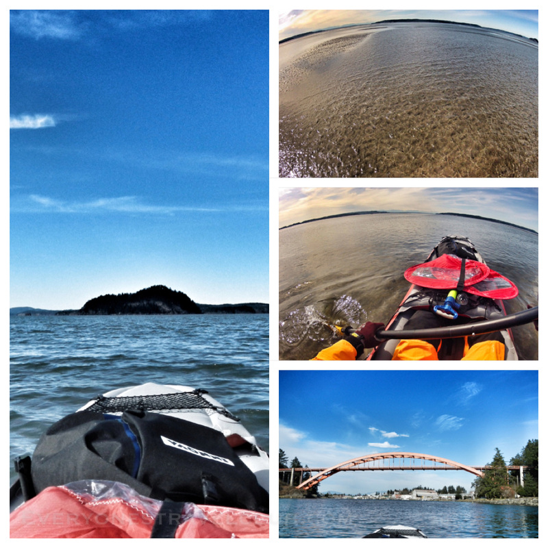
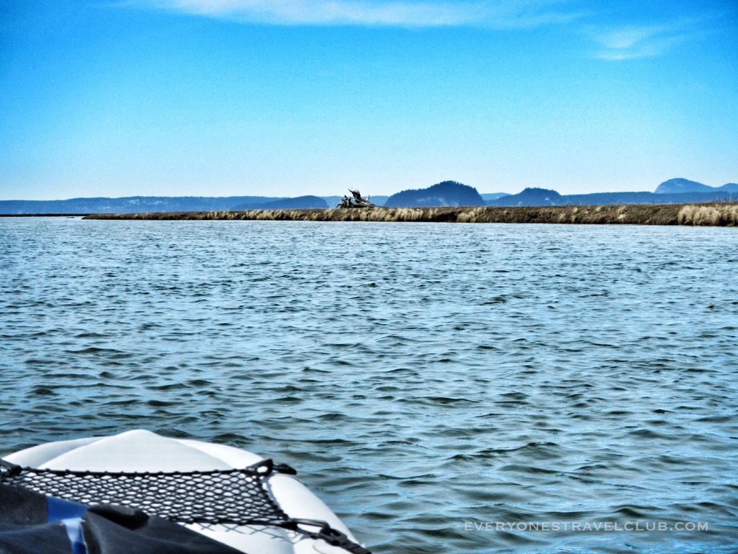
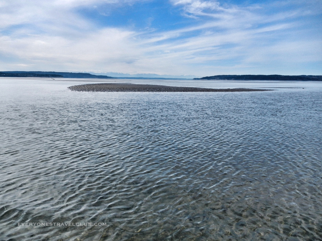
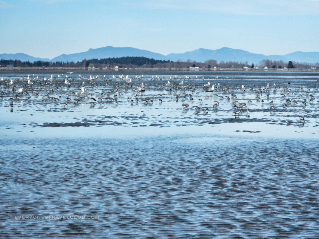
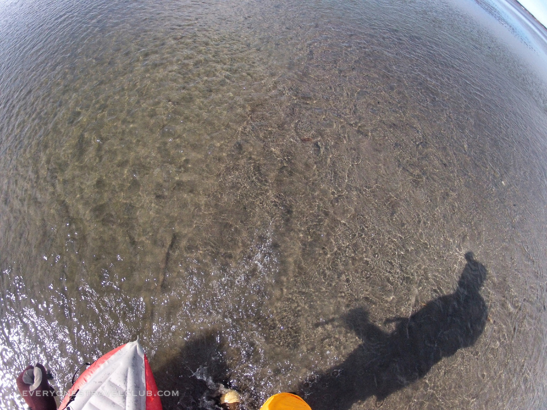
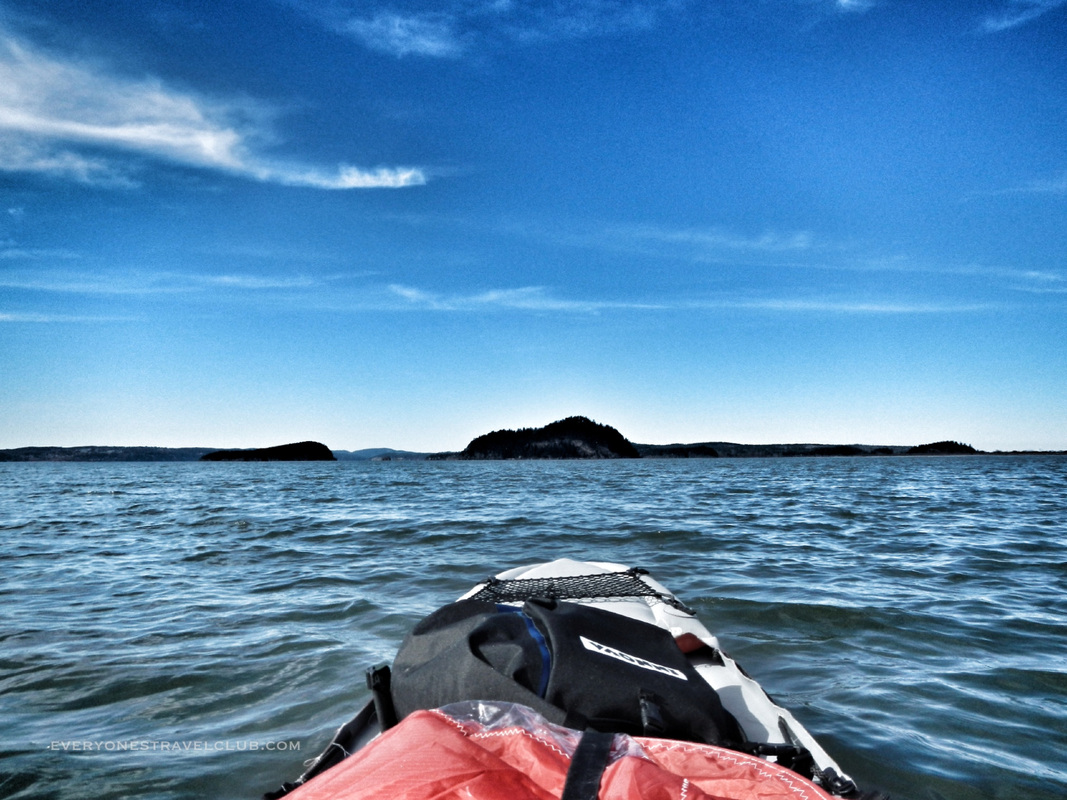
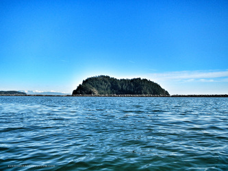
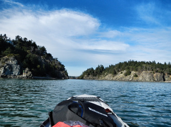
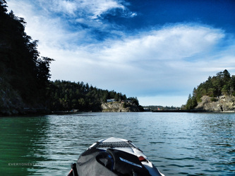
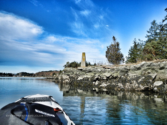
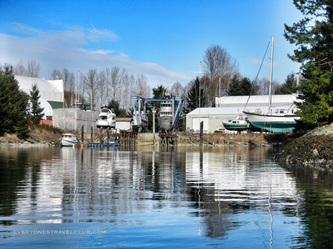
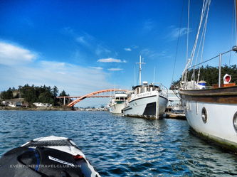
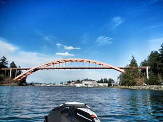
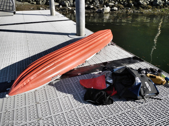
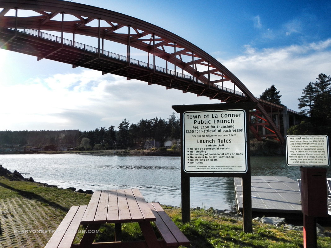
Hello club members! We've been adventuring our hearts out lately, enjoying some much needed Pacific Northwest sun. In our last kayaking post we shared our recent trip paddling down part of the South fork of the Skagit River. Well, as we mentioned, the trip didn't end there. Oh no. It had just begun. They say that an adventure doesn't really start until something goes wrong, well then, our adventure started when I emptied out of the Skagit River into the Skagit Bay & the Puget Sound. Let me back up so you can really appreciate my mistake. You see, I've been slowly adding gear to my kayak over the years, especially when I'm paddling by myself (I recently saw a magazine article that claimed to break the "taboo of kayaking alone"...I was like, "I almost always paddle alone...there's a taboo?"). The water here in the PNW is cold all year round so safety is a top priority. I've got a dry-suit, a compass, a sail, an emergency oar, a bilge-pump, matches, an emergency blanket, a mirror to signal, a cell phone, maps, water, food, boots, a patch kit for the kayak, rescue tape, dry bags, whistles, sun block, and still more! The one thing I forgot on this trip? A rookie mistake - I didn't check the tides and/or a chart. I had expected to kayak only in La Conner that day but when I investigated the weather and water on the South fork of the Skagit, (not to mention the thought of operation snow geese), I decided to grab all of that gear and go for it...at the end of the day I discovered that I had paddled a good 8 or so miles against a light wind and against the tide the entire time (even against the max current for awhile)...nice one. And by paddled I mean, paddle-paddle, drag bottom, get out, walk, drag kayak, sit, paddle-paddle, drag bottom, repeat. I literally had to walk/drag for over a mile. It was terrible. Let's take a look shall we! Hmmm, that's a nice little sandbar. It's pretty shallow here...maybe...I...should...have...checked a chart or something! Just click on the 'sat' button in the top right corner of the Google map above and you'll see what I mean. Silty. Just plain silty. I left from the Skagit State Wildlife Recreation Area and paddled towards Ika and Goat islands, went around them, and up the Swinomish into La Conner. There were a few birds along the way (not the thousands of snow geese I was hoping for). The pic below about sums it up. But not as good as this slideshow (click on the pic below). Alas, as I paddle/walked my way to deeper water I was so excited that I could just sit and paddle without having to stop and get out. It was so amazing that over the course of this trip I was far from shore but could see the bottom and most of the time I could touch it with my paddle if I wanted to...crazy! (crazy for the NW at least, it's the norm on some of my Caribbean adventures). Deeper water meant kayaking towards the two islands pictured below for hours and eventually going around the one on the left to enter the Swinomish Channel (even though I found out about a 'hole in the wall' short cut later, I didn't want to risk it at the time). Well, what doesn't kill ya makes you stronger - I made it to the first public boat launch in La Conner, just past the rainbow bridge, in about 5 hours. After researching the trip more (after I had already done it!) I could have probably cut the 8-10 mile paddle down to about 3 hours by taking some short cuts, watching the charts, and maybe even paddling it in reverse (although paddling up the Skagit river didn't really seem like a good idea). I did spy a longer but great trip idea - paddling down the North fork and then around to La Conner...hopefully I'll plan better for that one!
~Paul ETC
0 Comments
Leave a Reply. |
Follow us on Twitter and receive updates when we post (click the birdie).
Archives
March 2014
|


 RSS Feed
