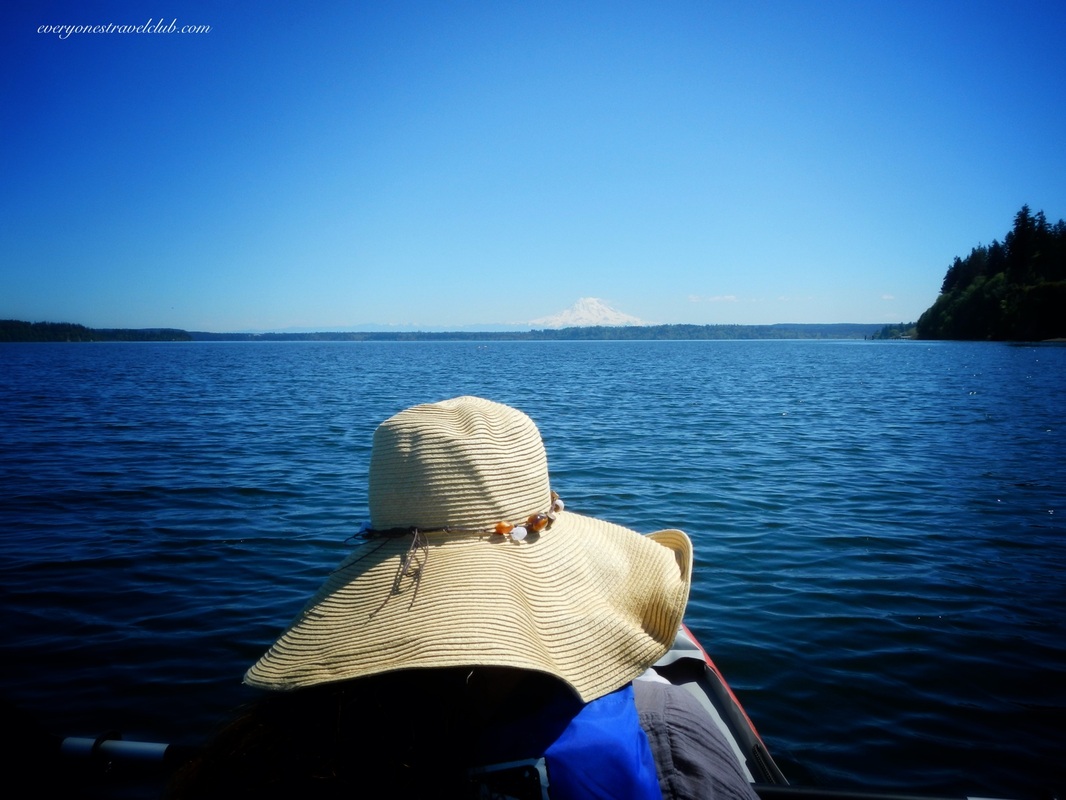
 Always have a plan B (or C in this case). Captain Wifey and I set off to add some more blue dots to Washington's south Puget Sound. I had researched a perfect kayaking destination - Woodward Bay on the Henderson Inlet. It sounded great: use a Discover Pass to park the car, calm water, & gorgeous scenery with little development. The weather was in the upper 70s, amazing for the Northwest in May. The Bay is way south, almost to Olympia. We arrived at the launch and walked down to the 'beach'. 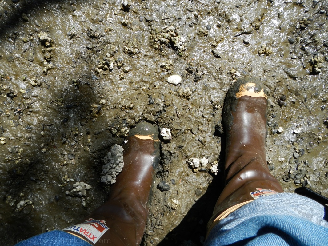  Mud-fest. No dock. Lots of mud. We could have waited for a higher tide, however, to paddle all day we wouldn't have had enough water when we came back. Woodward Bay at low tide is nothing but a small stream and we'd be really stuck. We didn't feel like cleaning mud off of everything we own for the next week following the paddle so we packed it back up and drove over to plan B - the boat launch at nearby Zittel's Marina. 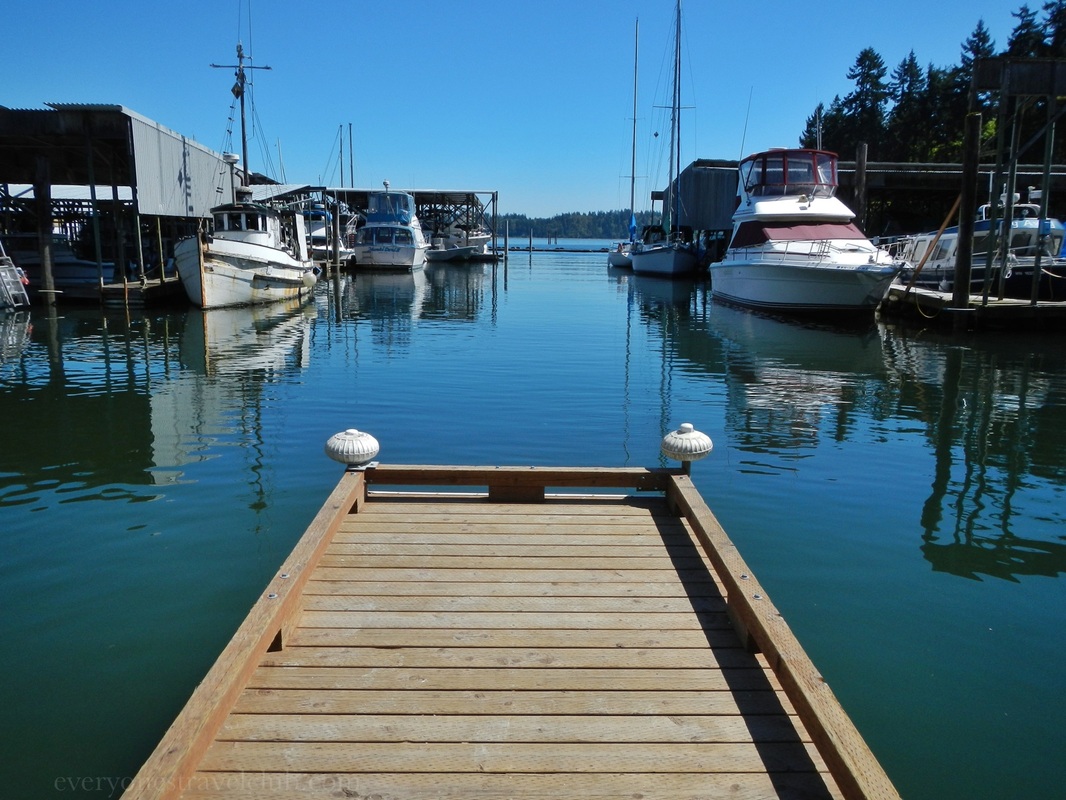 The problem here was the boat launch fee: $14. Now, I'm not super-cheap, but when you're accustomed to paying a $3 to $5 launch fee in the city, $14 is pushing it. I thought maybe it was a misprint because it's $14 for all boats, but it wasn't. To top it off, the dock was way high for a kayak launch. You could make it work if you were willing to pay…we moved on to plan C! 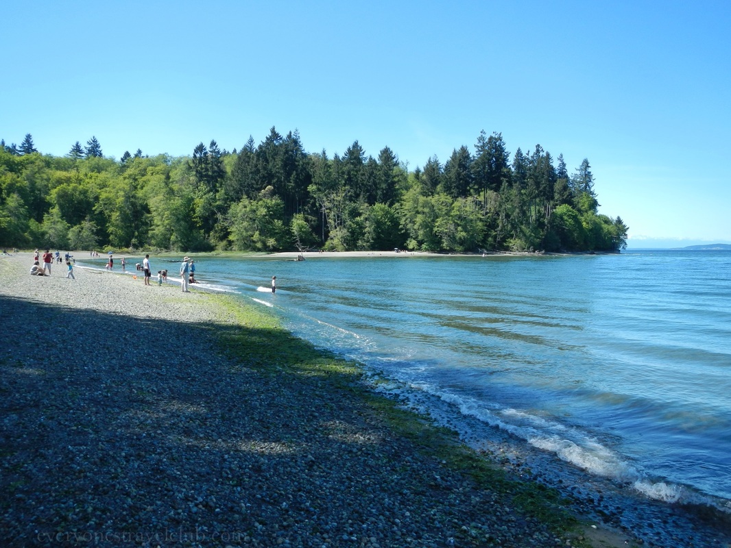 Not too far from Zittel's & Woodward Bay is Tolmie State Park. We found parking in the lower beach parking lot (otherwise it would be a downhill hike to the water). From the parking lot it wasn't far to the beach - easier for us with the inflatable in a pack on my back. It would be possible to launch hardshell kayaks, just know you'll have to carry them on a short trail to the beach (there's no dock or boat launch). 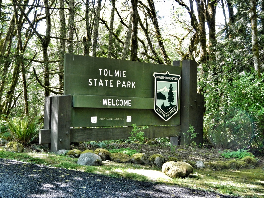 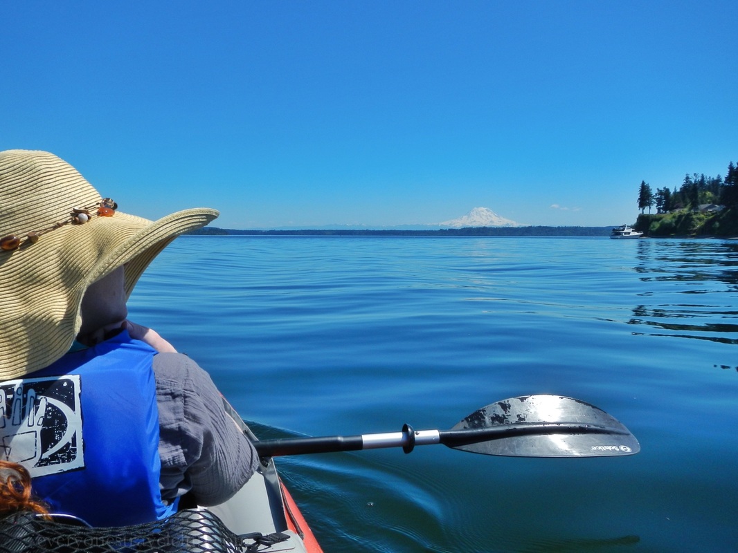  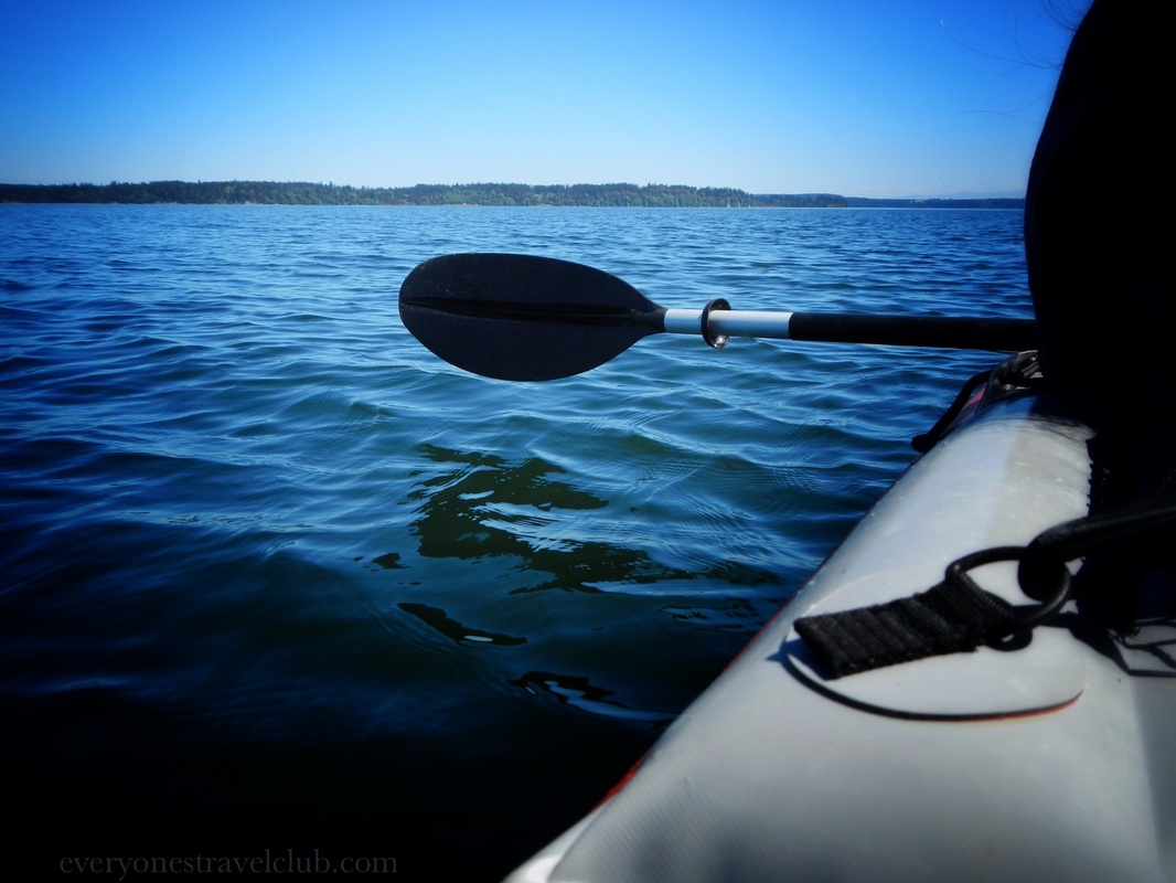 We paddled south from the beach towards the Nisqually National Wildlife Refuge. This waterway is called the Nisqually Reach. There's lots of private property woods to enjoy and great views of Volcano Rainier. Be careful as you head closer to the refuge - boats, even kayaks, are not allowed into the area. You can however, paddle up the adjacent McAlister Creek if you make it that far. 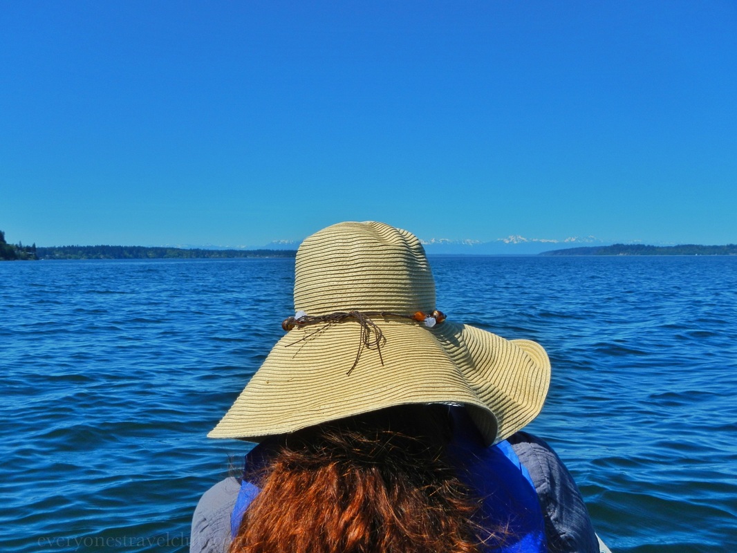     It turned out to be a great plan C. Moral of the story? Always good to have a few different launch sites up your sleeve just in case. What if it's muddy? What if it's really windy? Straddle the line between being a fair-weather adventurer & being smart!
~Paul & Amber ETC
4 Comments
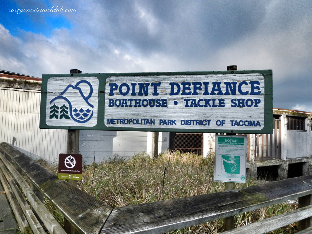
A little northwest of downtown Tacoma is the 702 acre Point Defiance Park. It's a city park…a giant city park. 702 acres puts it at one of the biggest city parks in the country. It sits on its own peninsula, jetting out into the south Puget Sound, pointing across the water to Gig Harbor & northward to Vashon Island. There is tons of stuff to do at the park - the Zoo & Aquarium, Rose Garden, Japanese Garden, Rhododendron Garden, beaches, trails, lots of picnic spots, dog park, Fort Nisqually (long story), ferry dock, boat ramp, boathouse, and more. 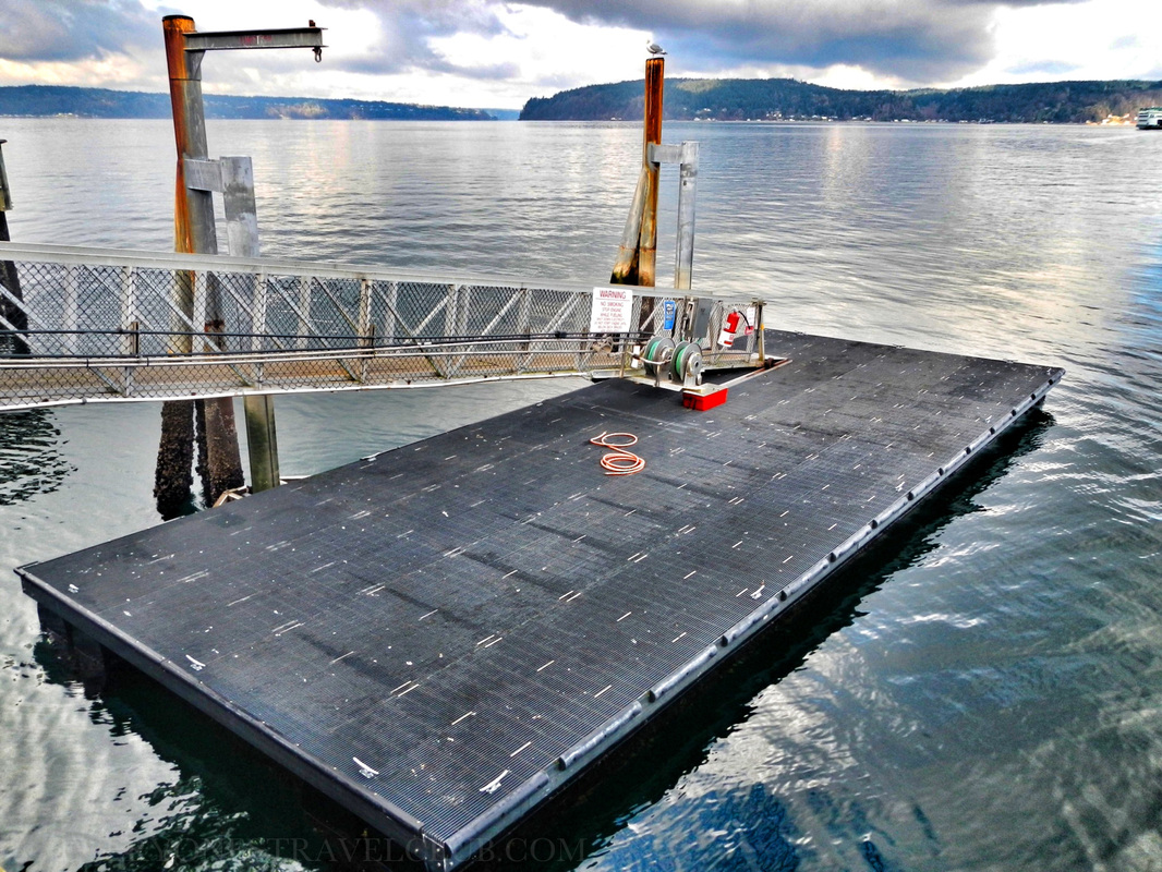 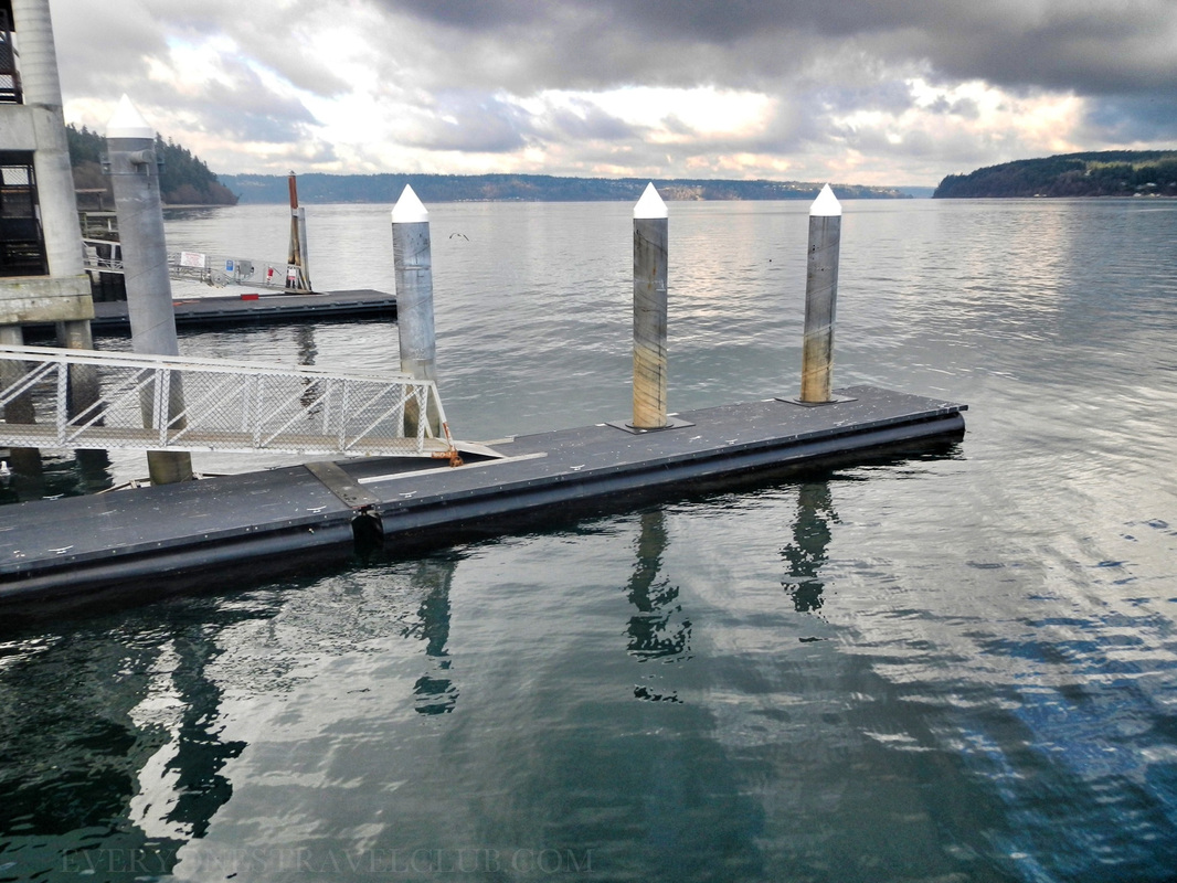 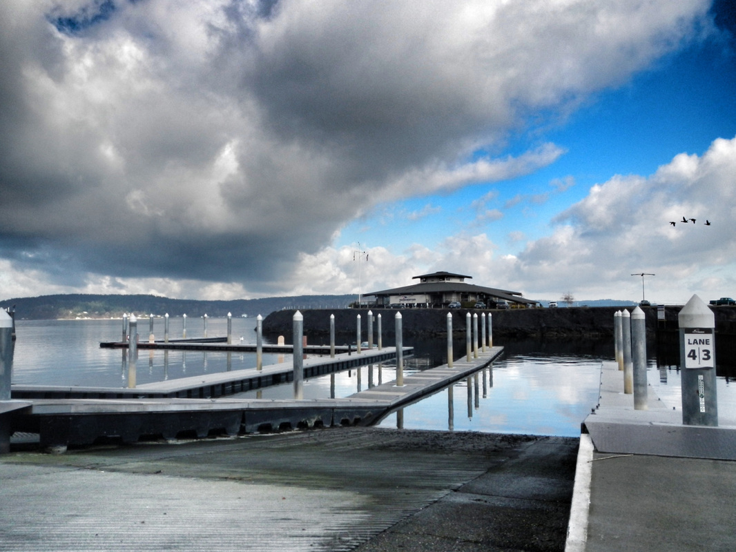 If you park near the boathouse & marina there's quite a few places to launch a kayak (there's also a boat ramp for trailered boats). A lot of the docks were nice and low…perfect for paddle-craft. It didn't really seem like you'd have to pay a launch fee, however, it's always a good idea to check the message boards at the boat ramp just in case. 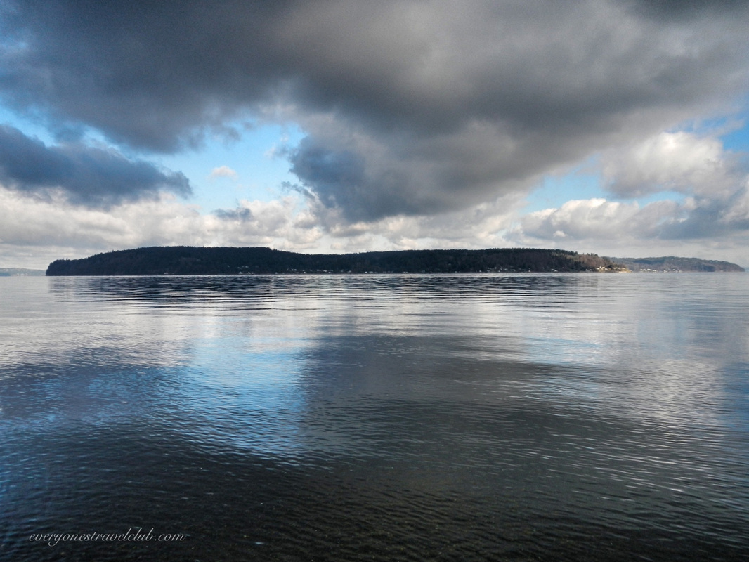
A look across the water to the north reveals the southern tip of Vashon Island. The Tahlequah ferry route takes you from Point Defiance to Tahlequah on Vashon (who knew there was a ferry dock here?). 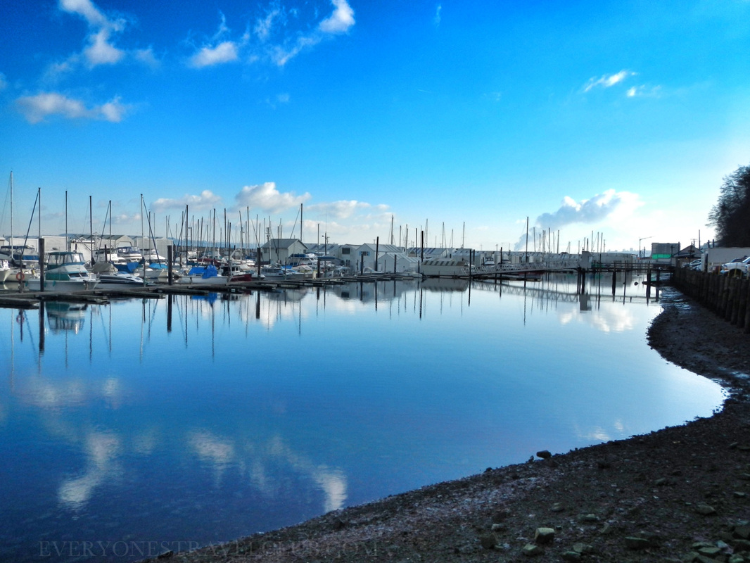 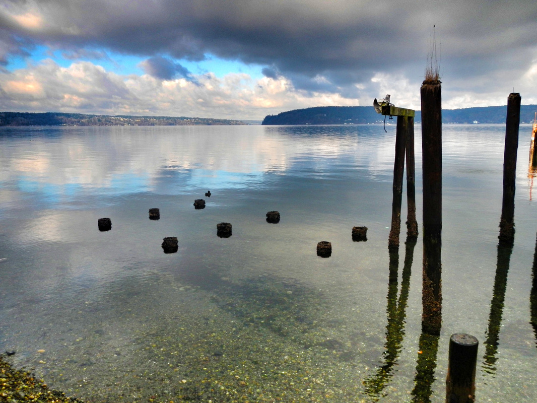 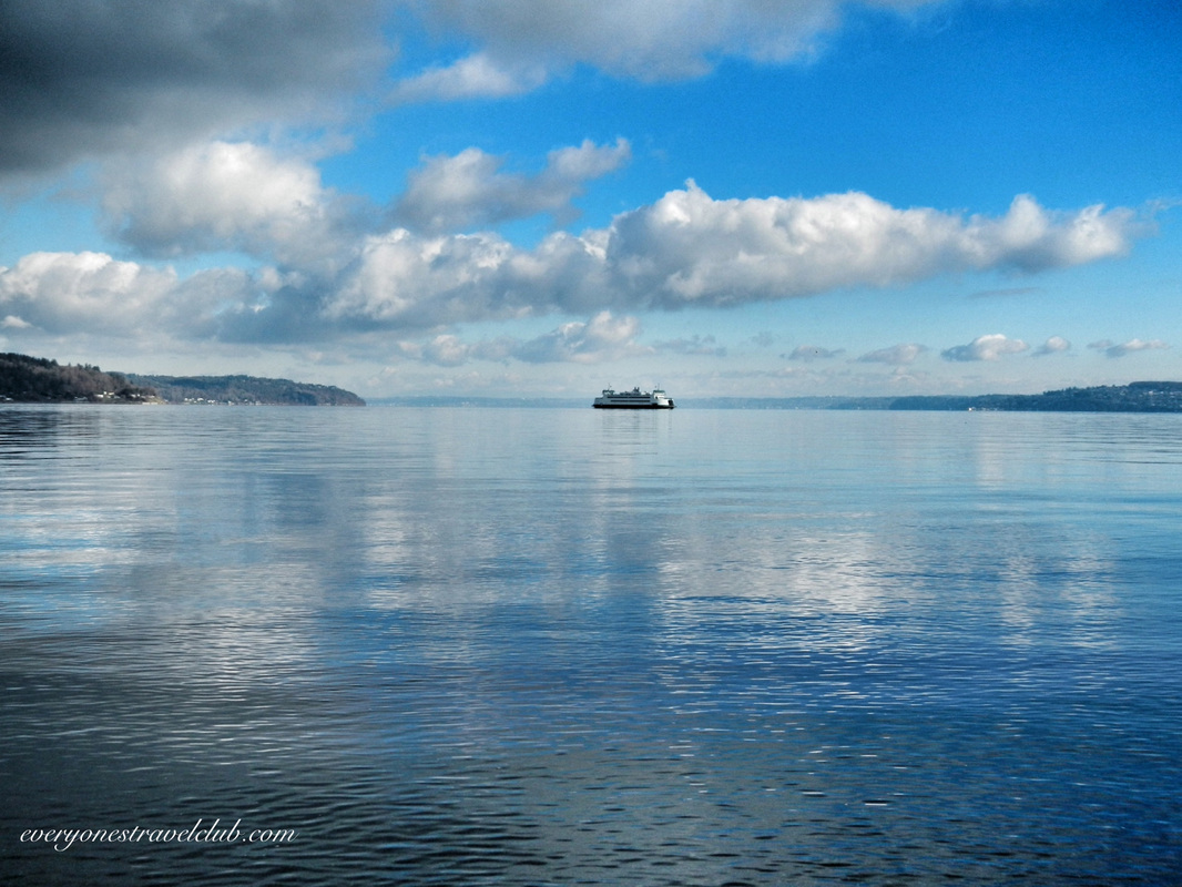
 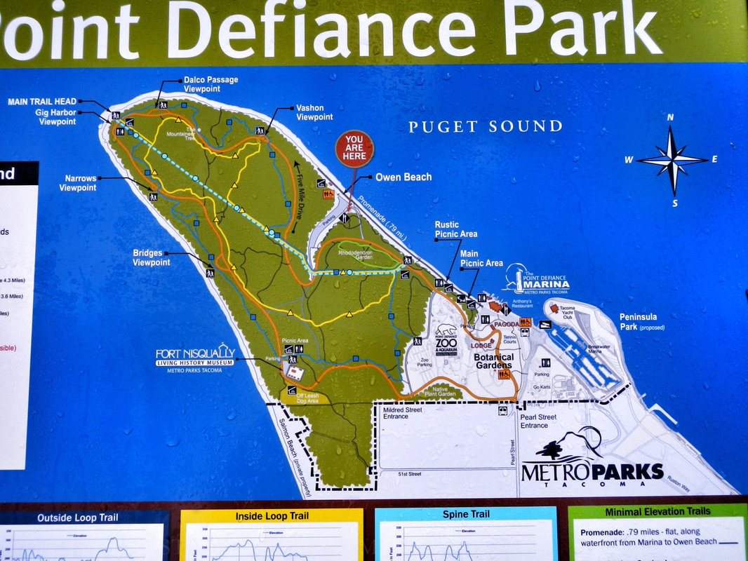 The park is big - don't get lost! We parked at the boathouse, walked down the beach to Owen beach & back, then got back in the car and drove to the Nisqually Fort area. It's cool to read about the history of the park on the boards near the boathouse - this was the place to be in the 1800s! 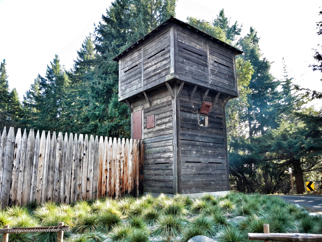
Huh, a giant fort in the park. Interesting. Luckily, we had just visited the Nisqually National Wildlife Reserve (our post here) so it kinda all made sense! The fort here is part replica, part relocation of the original fort 17 miles away near the Nisqually delta (it's not there anymore). Historically, this was the first European settlement in the Puget Sound. There's tons of info here from a friendly and knowledgable staff - we'll be back to take the tour soon. Check out more at their website. 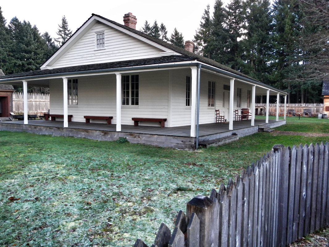  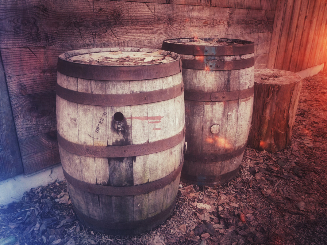 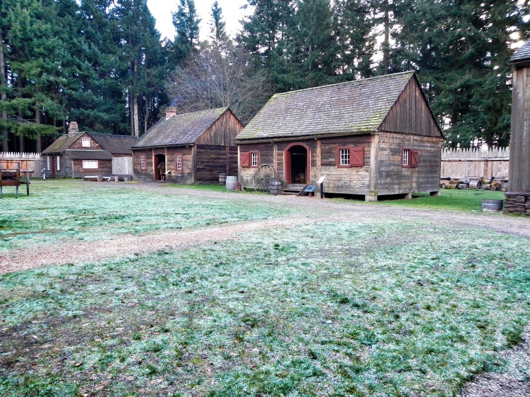 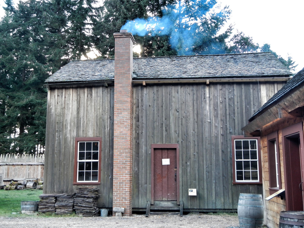 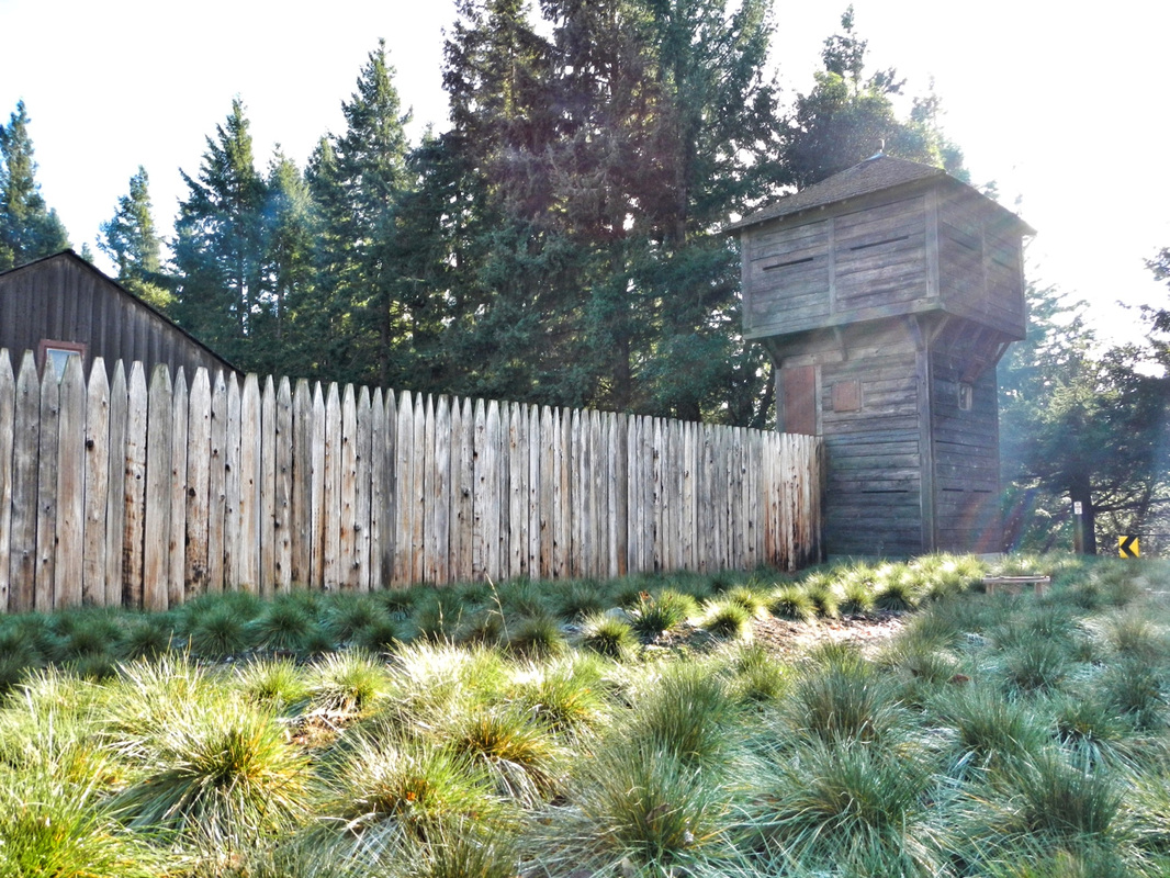 Just past the fort is the dog-park and trails that lead out to a great Tacoma Narrows lookout…watch your step - it's a long way down from these cliffs! 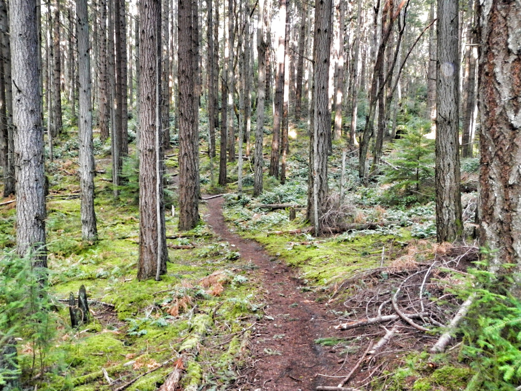 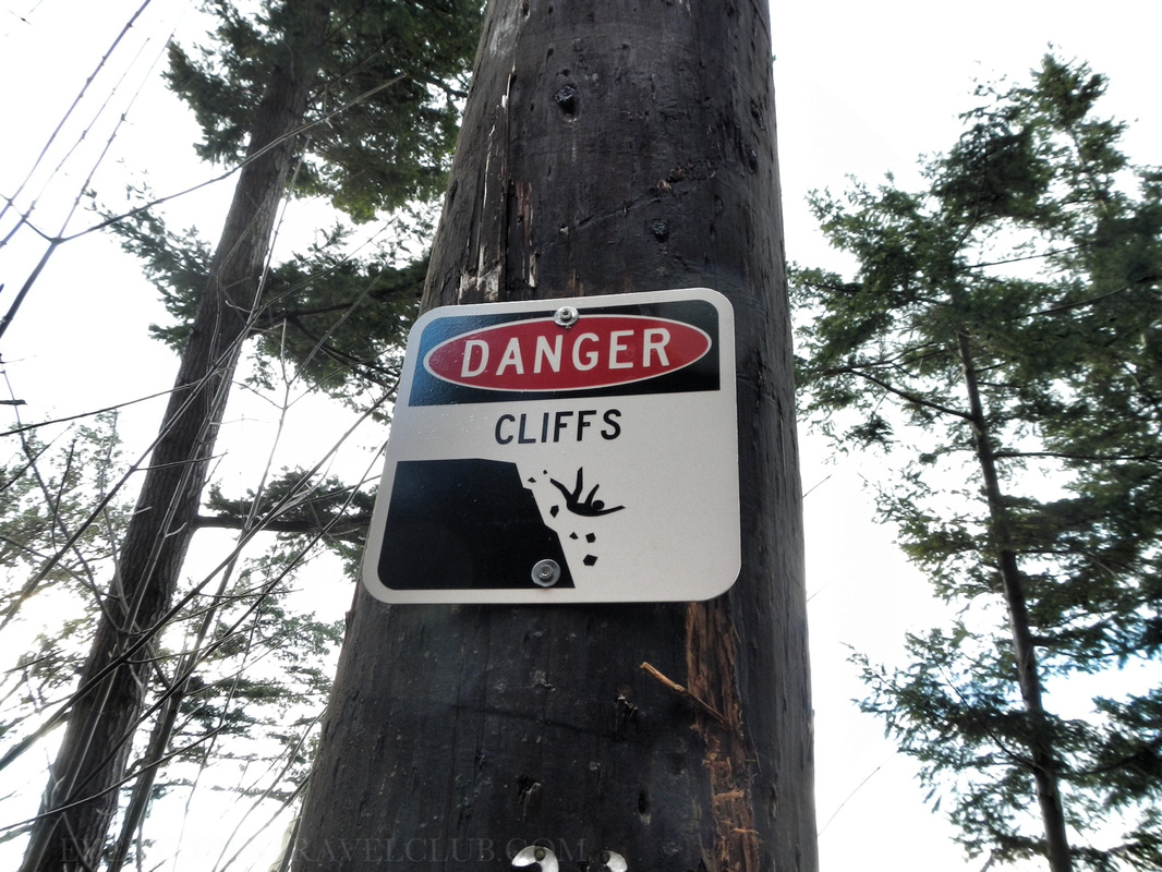 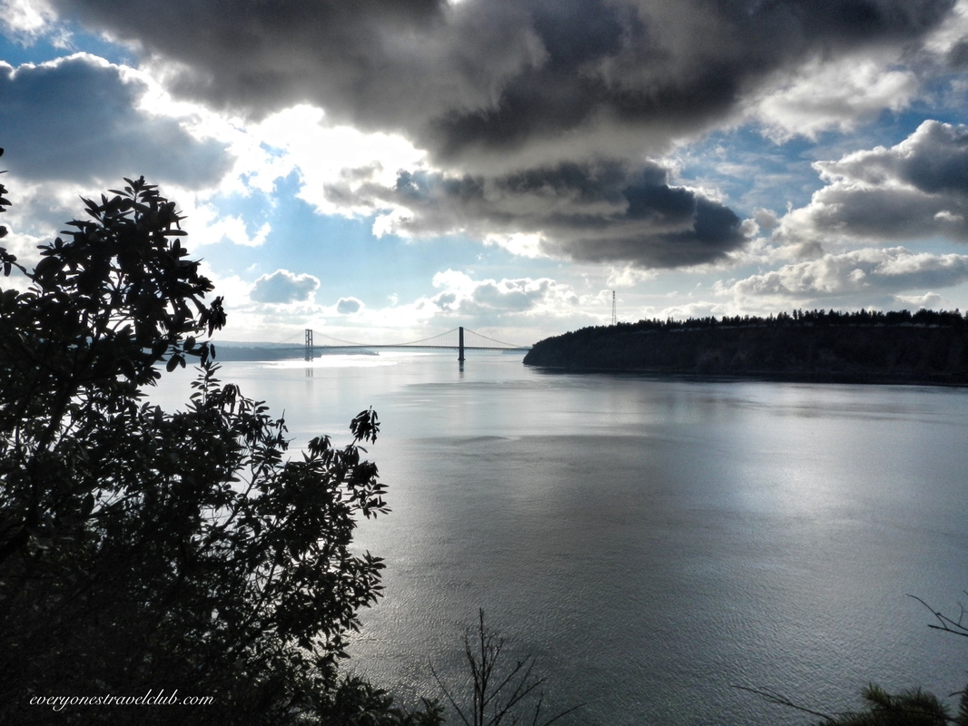
Pow. A sweet view of the Narrows from the edge of the park. The Tacoma Narrows bridge is in the distance (I think of this video every time I see it). There's also a tall power-line tower looking thingy to the right of the bridge…that's actually a tower with lines bringing electricity all the way from the Cushman Dam (Oh ya, I remember that place). 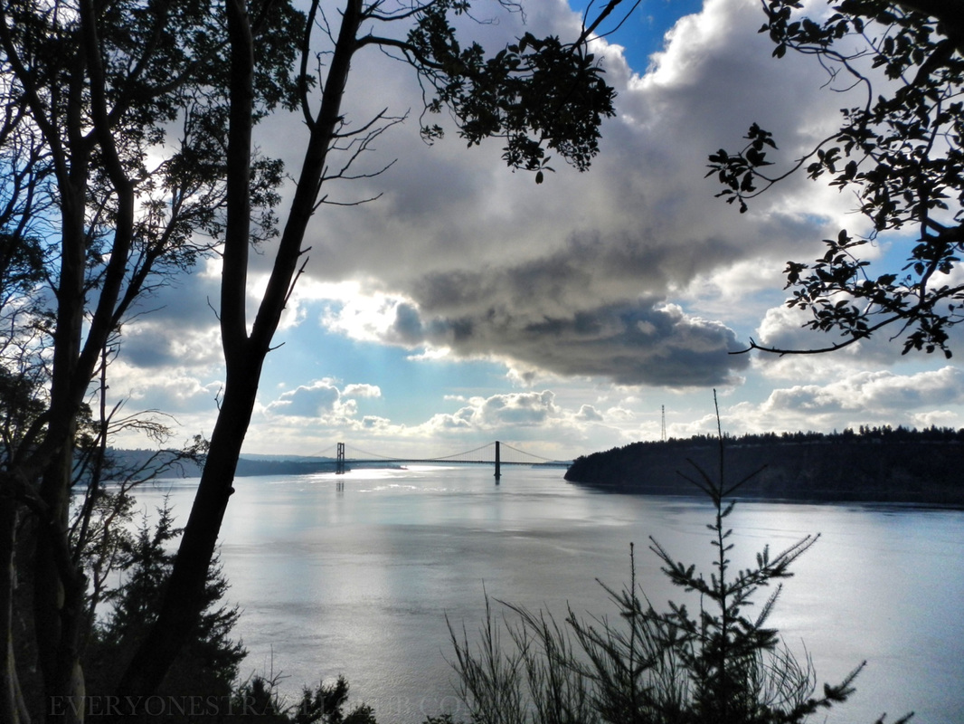
So, I think we've settled any uncertainty you might have about spending the day at Point Defiance Park. We did it without even showing you pics from the zoo, aquarium, & gardens. It's a cool place, check it out.
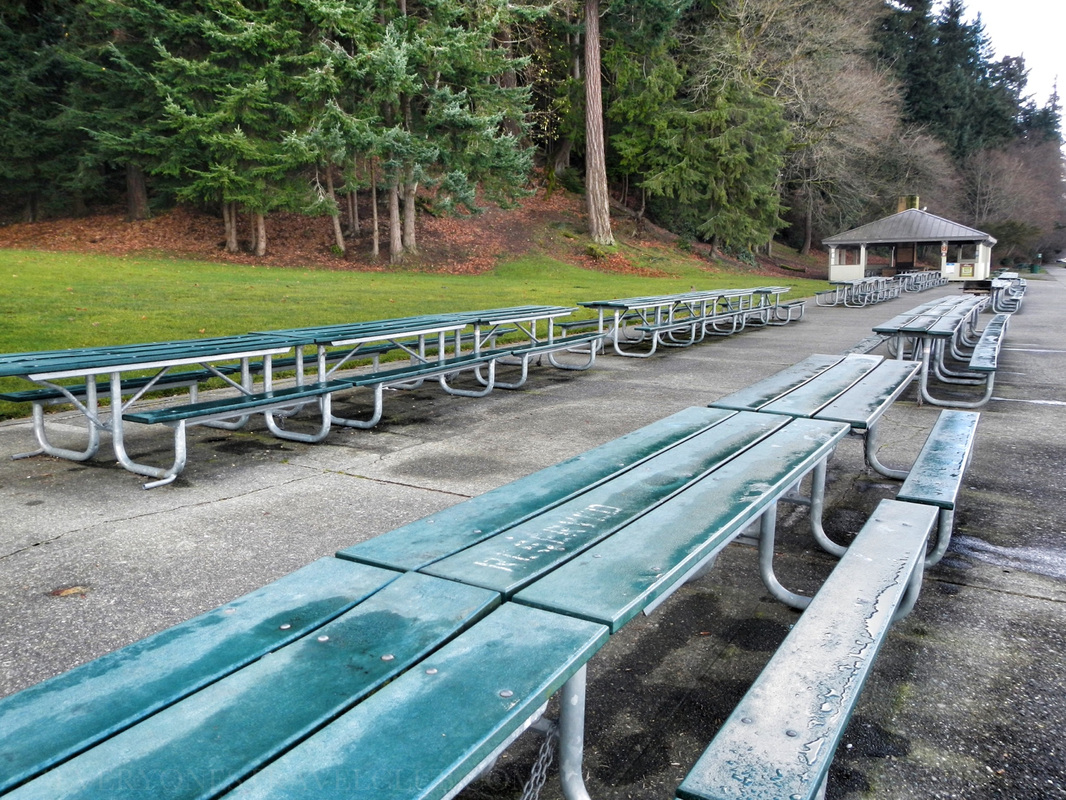
~Paul & Micah ETC  Lately we've been exploring some of the many parks scattered along the coast of Washington's Puget Sound. We like to visit them in the offseason (it's winter around here), mainly because they're usually free of crowds & traffic. It also helps us out for the upcoming summer - we know where to go, where to park, where to launch a kayak. Also, when I can, I like to see future paddle trips from the land first, it's helps orient things when I'm on the water. When we get home from a day out, I eventually download all of the pictures from the adventure, delete the blurry ones, edit, delete, import, export, move to this app, move to that one, upload, and download. Once I have the pictures organized in article format, I start researching where we've been. That's right. With most park visits: I research after we get home. Now, not all trips are like this - paddling & sailing trips are way different. We check the tides, check the currents, check the weather, check all kinds of stuff. With park visits it's sometimes nice going in ready to hike, ready to learn, ready to take pictures, ready to get lost, but not exactly knowing what's going on. 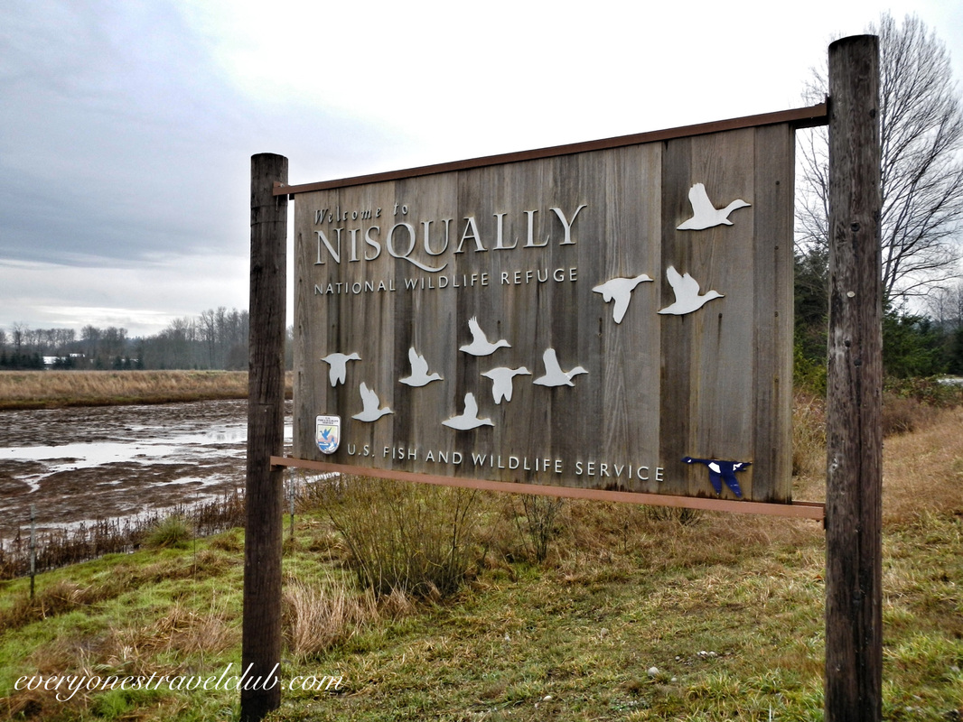 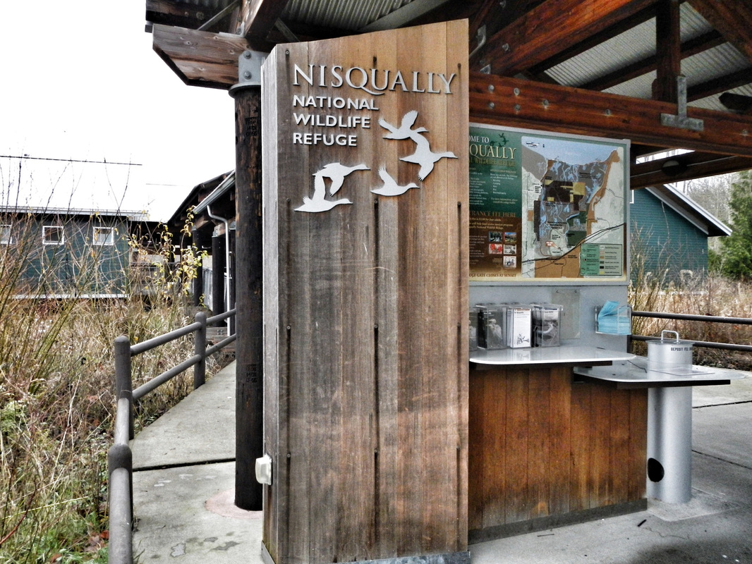 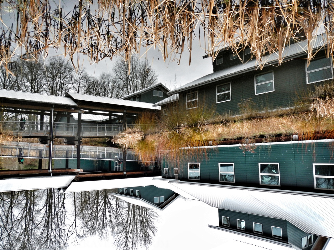 With this in mind we set out for the Nisqually National Wildlife Refuge. Located just off I-5 between Tacoma and Olympia Washington, the refuge is a protected estuary formed by the freshwater of the Nisqually River & McAlister Creek emptying out and meeting the saltwater of the Puget Sound. The Nisqually Delta is biologically diverse - animals all over the place - and is heavily influenced by the tide. I could tell this from the map - the refuge is a giant green spot. From paddling the Skagit & Stillaguamish river deltas I could kinda imagine what it would be like. You can see the refuge in the map below. Just follow the signs off of I-5 to get there, the 'A' on this map is a boat ramp (discover pass required), adjacent to the reserve, suitable for launching a kayak and paddling up McAlister Creek (most of the actual refuge is off limits to boats). 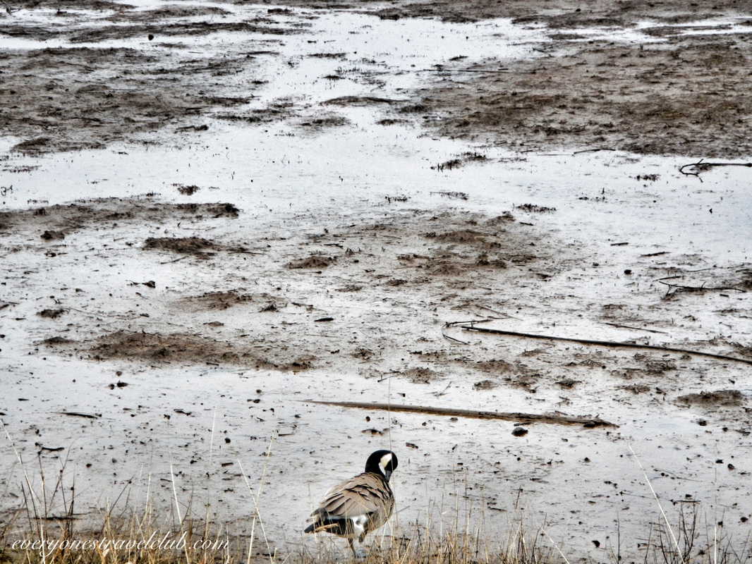 When you arrive at the refuge there is a $3 parking fee and lots of spots (I'm sure it gets crowded on the weekends in the summer). There is a nice visitor center & restrooms. There are a few trail choices - about the most you can go is the 4 mile roundtrip boardwalk trail, it's sort of an out and back. Since the tide is in and out a couple times per day, the Washington Fish & Wildlife department worked to build the boardwalk that takes you out to the far reaches of the refuge. Informational boards are around to give you an idea of what exactly is going on with the thousands of migrating birds, various mammals, amphibians, and reptiles that live and/or frequent the area. 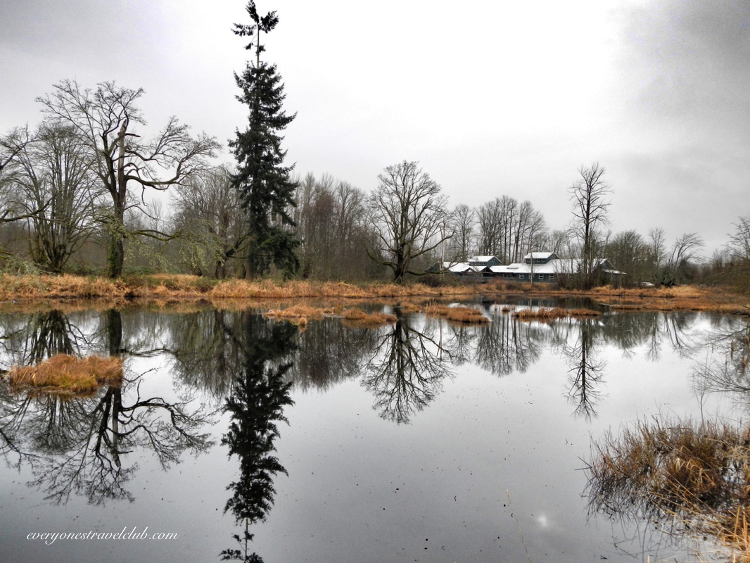 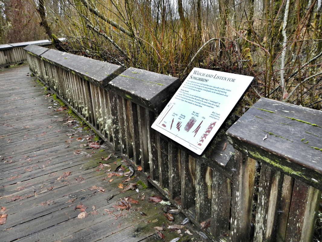 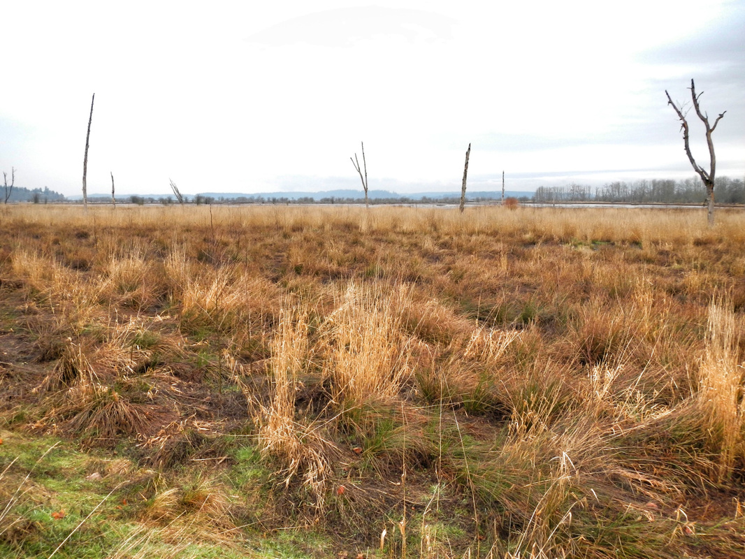 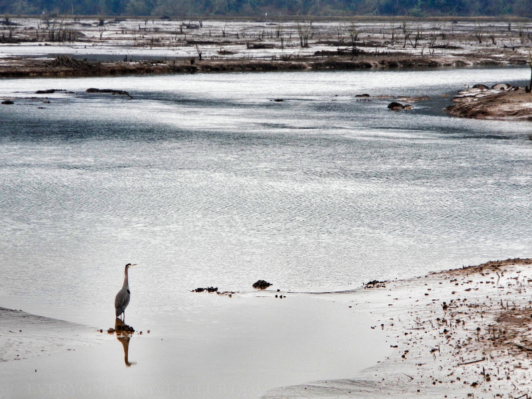 From a paddlers point of view, most of the area is off limits to boats (that includes kayaks). The picture below of a couple canoeing is from McAlister Creek - located adjacent to the refuge. A nearby boat ramp gives great access to the creek. Personally, I'd wait until waterfowl hunting season is over to paddle around here just to be safe…or at least wear some orange? The season in WA usually happens October-ish to February-ish. Here's a link with more info. 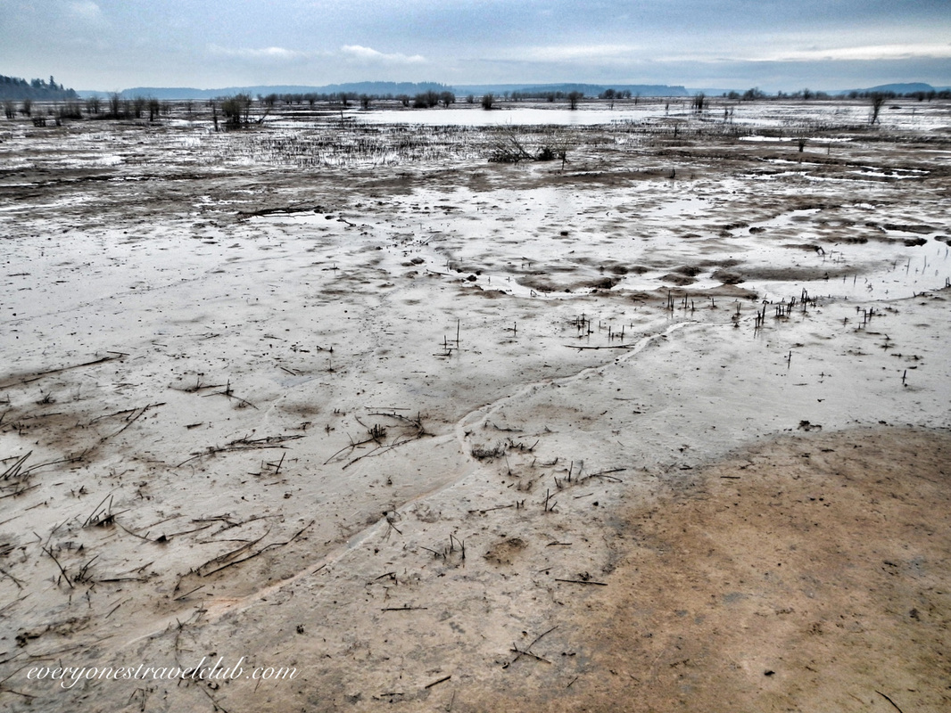 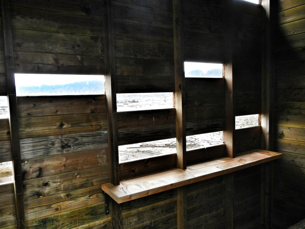 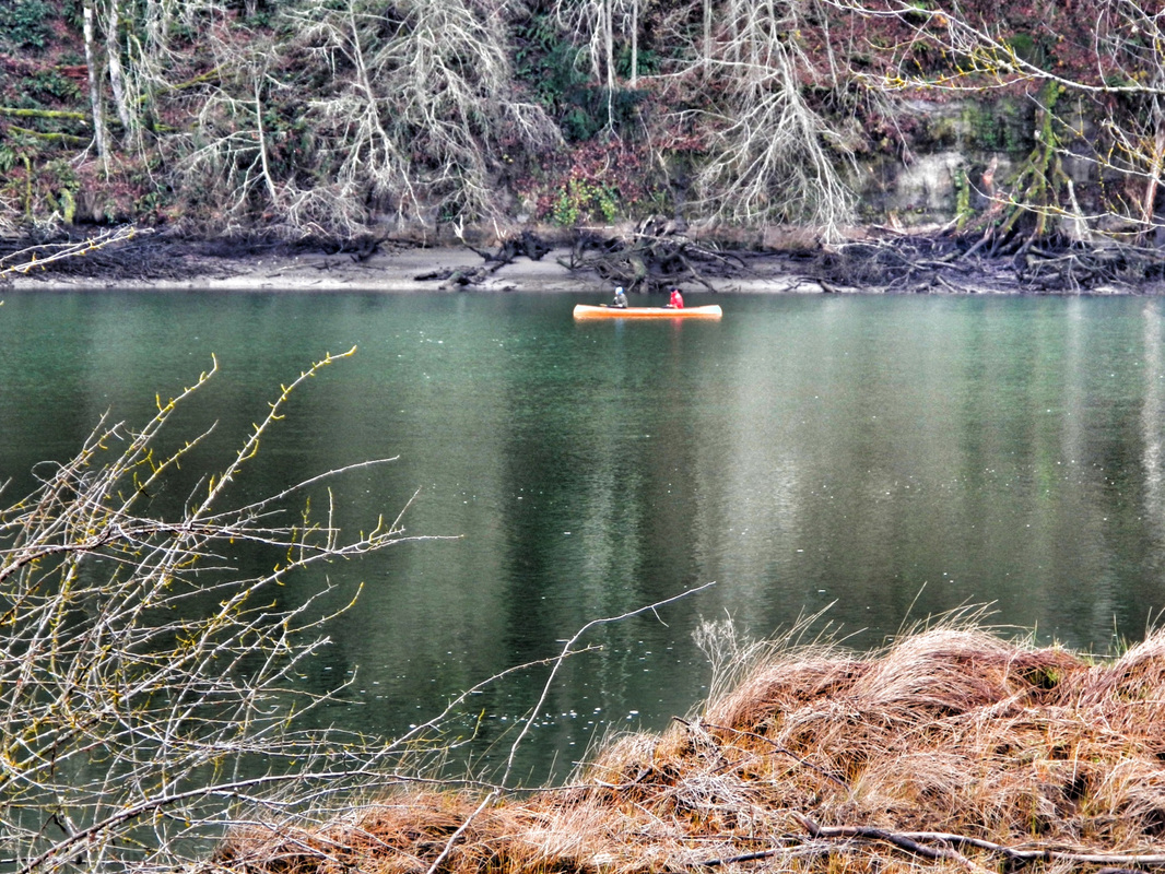 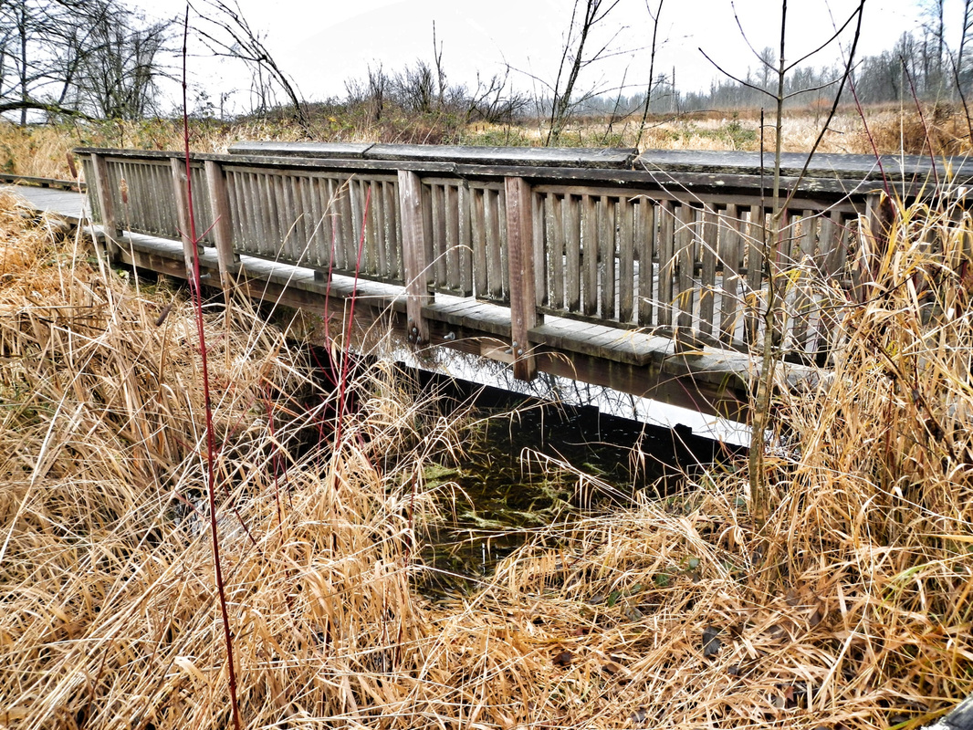 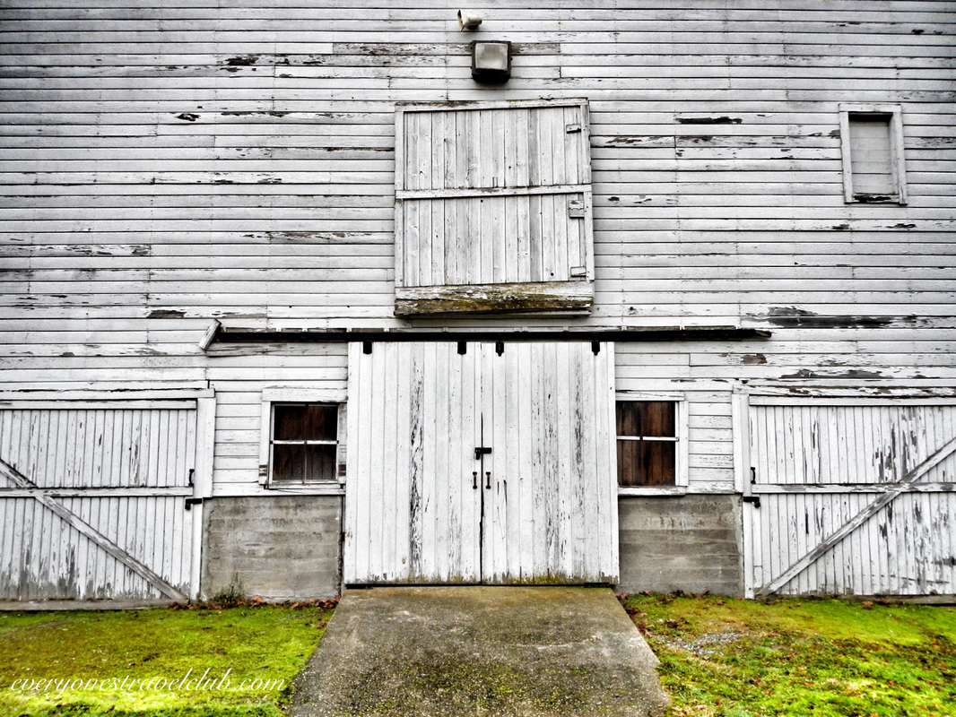 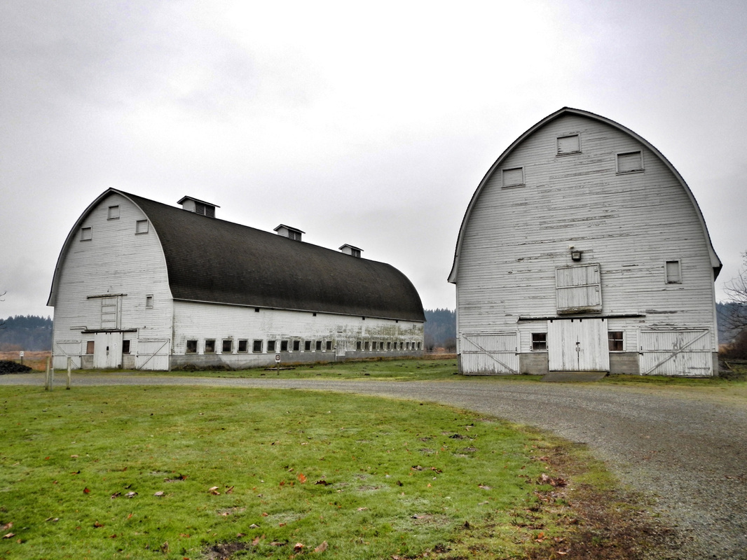 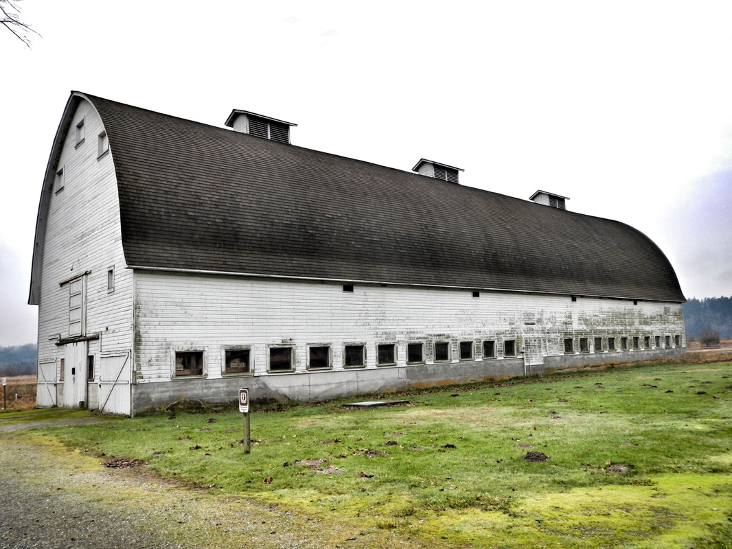 That about covers the facts, what did I uncover post-visit about the history of the place? Well, let's start out with a shout-out to the Nisqually Tribe who have lived & fished salmon on the Nisqually River for…wait for it…thousands of years. (the river starts miles away on the south side of Mt. Rainier, otherwise known as Volcano Rainier). Just step back and think about that for a minute. Thousands of years. Enter the white man in the mid 18oos and a treaty that was eventually signed between them and the Nisqually tribe. Actually, we are pretty sure that Chief Leschi (Leschi neighborhood of Seattle anyone?) of the Nisqually didn't, or at least didn't want to, sign this treaty - called the Medicine Creek Treaty (P.S. Medicine Creek is now called McAlister Creek - the one in the picture above with the canoeing couple). At any rate, the tribe was relocated and the white man obviously settled. There's also now a military base on part of the tribal land. I think we can, if anything, at least know and respect this history while playing/walking/taking pictures/kayaking/hunting on the Nisqually. 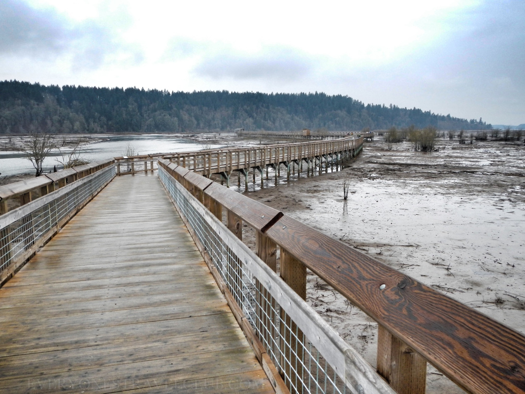 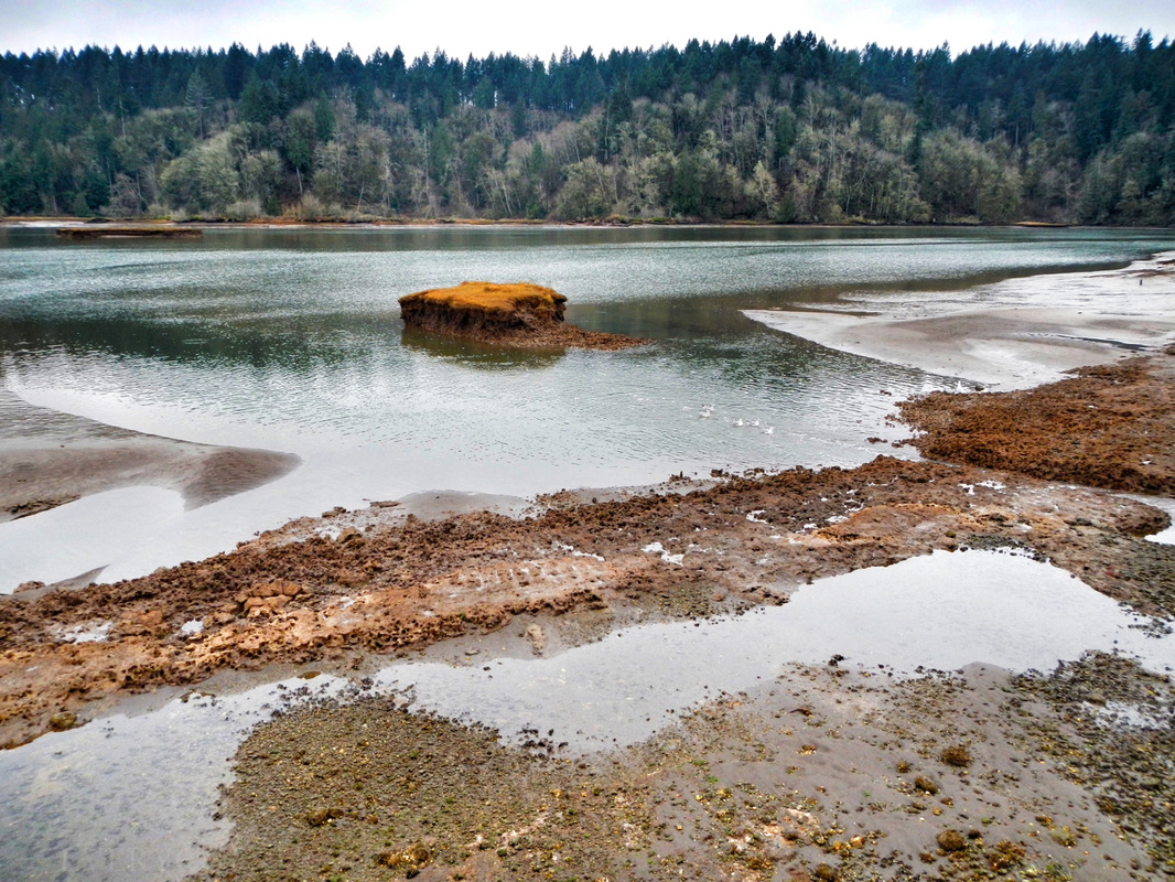 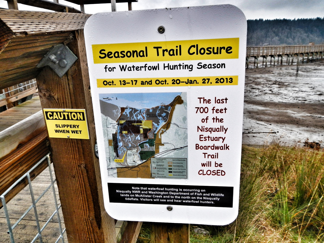 That's a wrap! We highly recommend checking out the Nisqually National Wildlife Refuge. Take a lunch - there are plenty of tables for a break. Take a zoom lens for your camera & binoculars too. Word on the creek is there are snowy owls there right now! Check the tides before you go if you want to see the mudflats (mudflats sometimes = better birding). If you want to kayak near the reserve, use the boat ramp adjacent to the park (the map at the beginning of this post). When you're there, imagine the thousands of years that people have lived on this delta & river…amazing stuff. Oh ya, if you see one, don't kiss the poisonous newts. ~Paul & Amber ETC 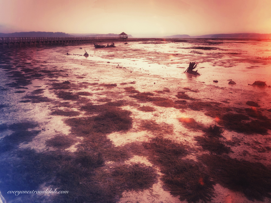 |
Follow us on Twitter and receive updates when we post (click the birdie).
 Archives
March 2014
|
 RSS Feed

|
Connect:Contact: |
[email protected] |