|
Originally posted on the old site - 8/16/2010 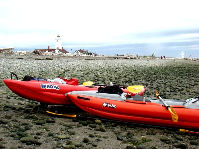 Everyone's Travel Club took a little out-of-town kayaking trip through the Dungeness Bay to the Dungeness Spit Lighthouse. The first leg of the trip took only about 1.5 hours from the Cline Spit Road boat launch to reach the lighthouse at the very end of the Spit. It ended up taking about 2.5 hours to get back due to heavy, heavy winds...I mean, heavy. The Spit is located just outside of Sequim, Washington, about 2 hours (including a 30 minute Edmonds ferry ride) from Seattle. Once you get there it's pretty amazing - the longest natural sand spit in the United States. 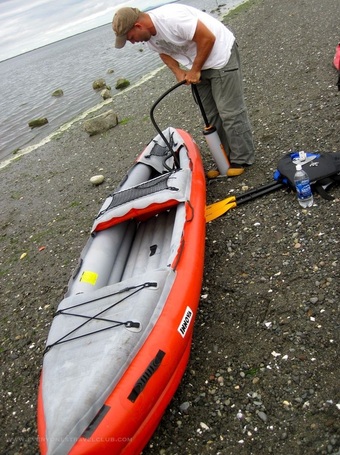 We inflated and put in at a boat ramp just East of the start of the 5 mile (one way) Spit hike, this shortened the distance for us to reach the lighthouse considerably. The road where we launched is called Cline Spit road, just off of Marine Drive (just zoom in on the Google map to get a better view). There is free parking there and it wasn't too crowded, just a few fisherman hauling boats in and out. 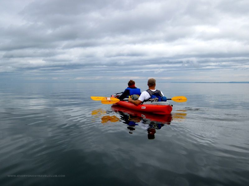 Off we go on our 3ish mile paddle (one way) towards the lighthouse in 0 knot winds. 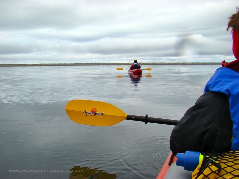 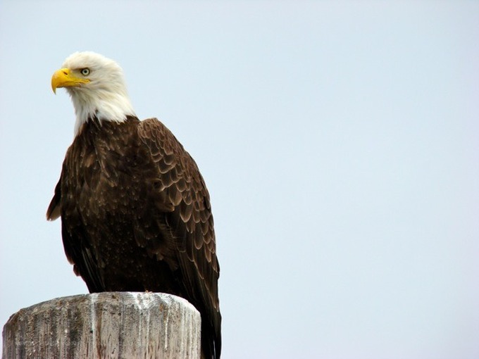 Spit. 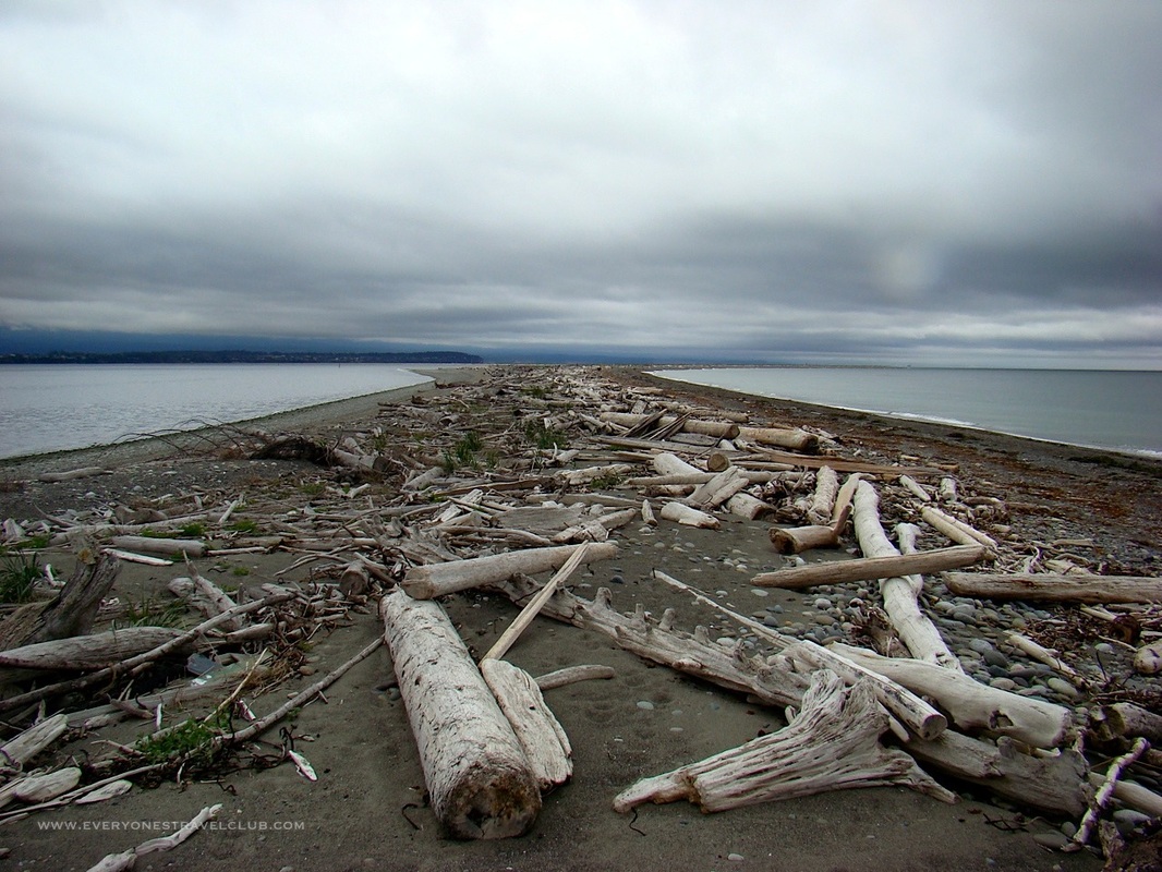 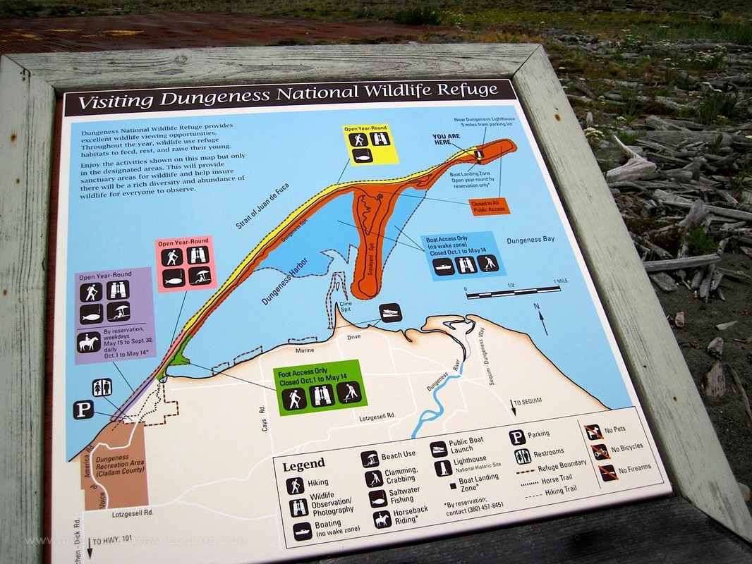 The catch is, the area where we landed (South side of the Spit) and got out to explore the lighthouse is technically off limits, however, no one seemed to mind us landing our kayaks. Landing on this side protected us from the action on the Strait of Juan de Fuca (the other side of the sand spit). The forecasted winds picked up on our return trip...I mean, I knew they would because I did check the marine forecast that morning, but it just seemed so still on the trip, I thought we'd have a little more time (we found out after we got back that there was a small craft advisory issued for the afternoon). The forecasted wind speed was right but the forecasted wind direction proved incorrect. I thought we'd be a little protected in the Bay from the predicted North wind. It didn't end up coming from the North. Crap. Plus, while paddling, I noticed that the very short spit wasn't really tall enough to protect us from much of the wind anyway. Crap again. 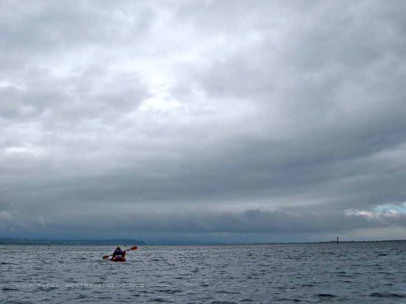 Then the sun shines (but the wind continues to blow) as we eventually return...safe and sound. 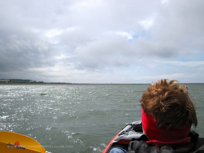 For my next trip to the Spit: I'll use that boat ramp again on Cline Spit Road, watch that marine forecast like a hawk, check the tides, maybe even take a radio to catch any small craft advisories during the trip. I'll plan for about 3-4 hours to give myself lots of time taking pictures and touring the lighthouse. Weather can change very quickly in these salt-watery parts. I'll always remember to dress warm (layer) - we are bundled up on July 4th in these photos...
Finally, if the wind does pick up upon my next trip I'll consider hanging out a little extra at the lighthouse and get a forecast from the nice tenants that temporarily live out there, just pack my inflatable Innova kayak in the pack and walk it back, or if I do decide to paddle, tether myself to the kayak just in case I tip (wouldn't want that inflatable blowing away and leaving me in icy cold water)! ~Paul, Sis, Mom E.T.C.
1 Comment
7/18/2023 03:44:51 pm
This is a place to land at the lighthouse. They have marked it with two yellow poles. Please use this instead of landing on the south side of the spit. This is a wildlife refuge. Respect our fish and featured friends Leave a Reply. |
Follow us on Twitter and receive updates when we post (click the birdie).
 Archives
March 2014
|
 RSS Feed

|
Connect:Contact: |
[email protected] |