|
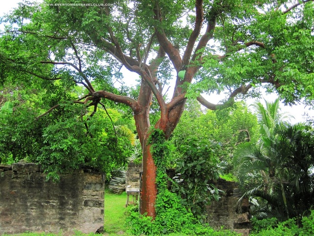
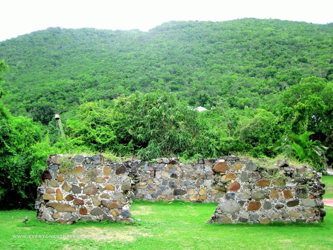
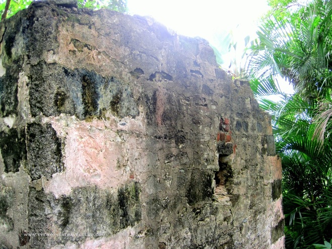
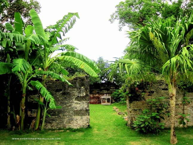
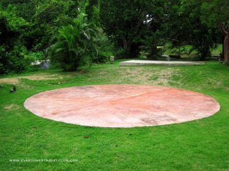
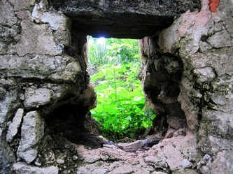
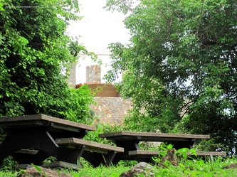
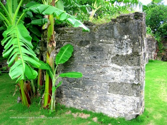
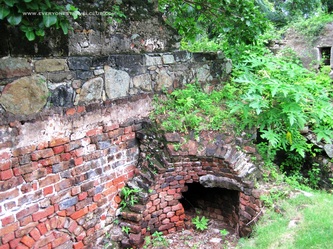
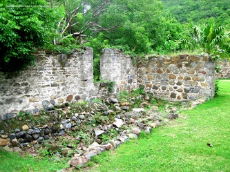
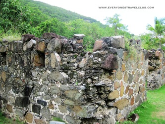
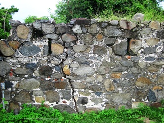
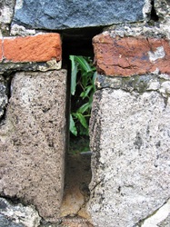
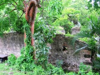
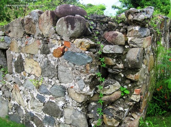
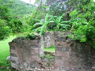
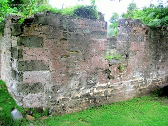
There was one more ruin site (what classifies something as a ruin anyway?) we saw on a local Virgin Gorda map and wanted to check out. I searched for more information about the location online before we drove over to check it out...there wasn't much info (it is on Google maps though) and hardly any pictures. We were looking for the stone ruins of a centuries old sugar mill plantation. The search engines kept taking me to some fancy rental property (which turns out is right next door).
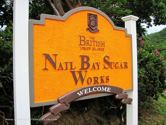
We chanced it and drove to Nail Bay looking for, well, something, anything...and we found it. Okay, we at first drove past it, scratched our heads a little bit, then turned around and finally found it (it's by the sign, who would of thought?). Pretty cool stuff! It's on the way to the North Sound - let's call it the scenic drive to the North Sound. It's an almost completed road that actually goes around Gorda Peak instead of straight up and down it like the other road! There's not much to it but it's worth a look - don't expect to make a day of it. ~Paul, Ann ETC
1 Comment
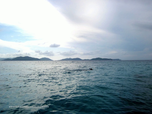
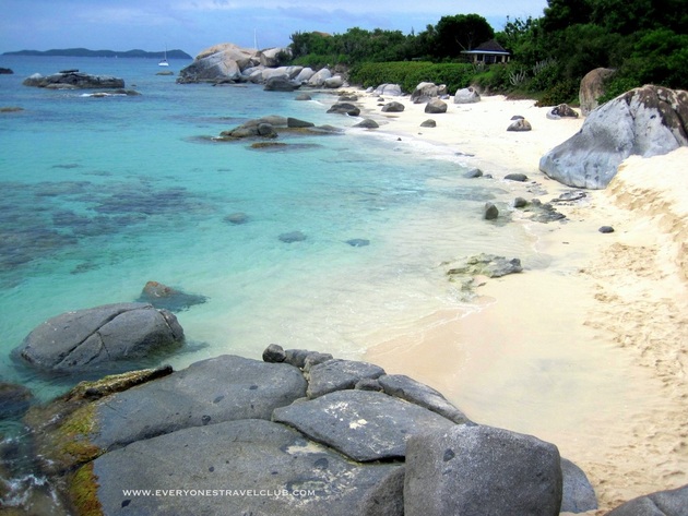
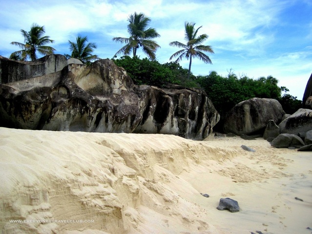
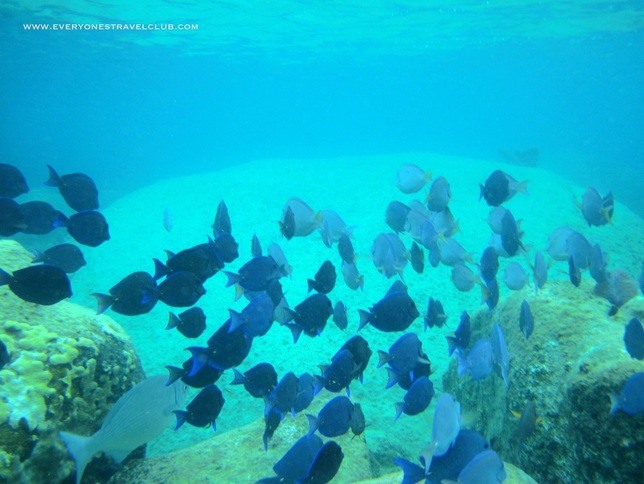
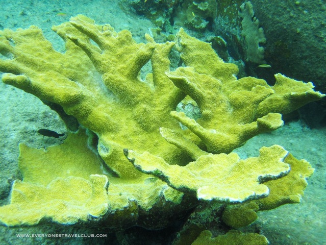
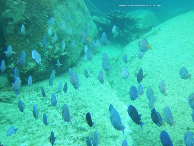
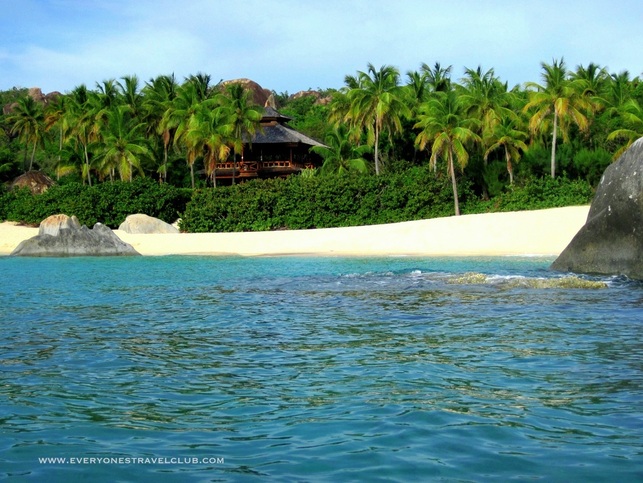
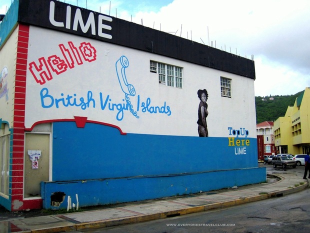
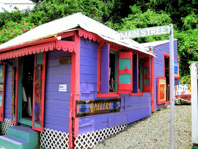
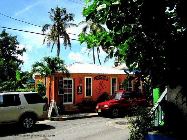
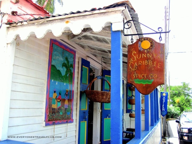
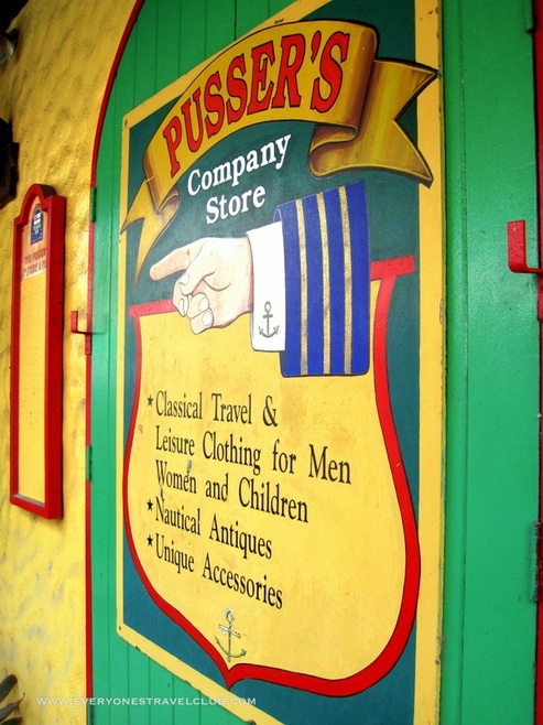
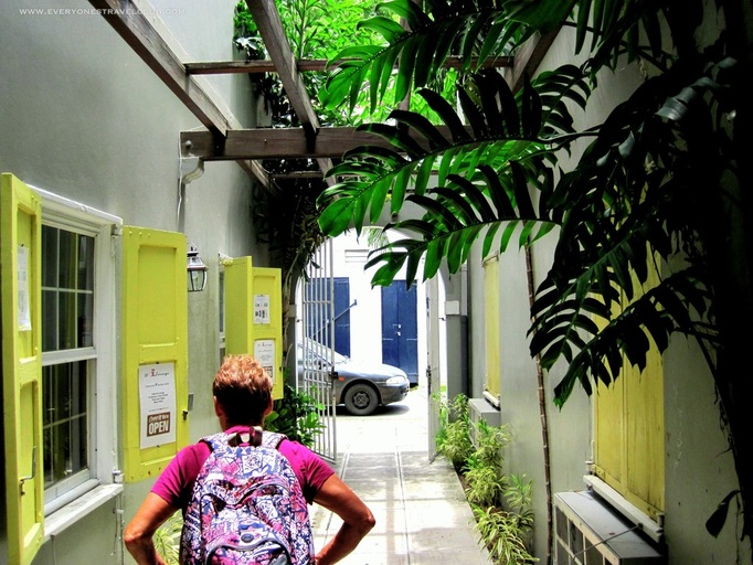
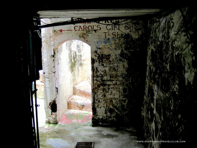
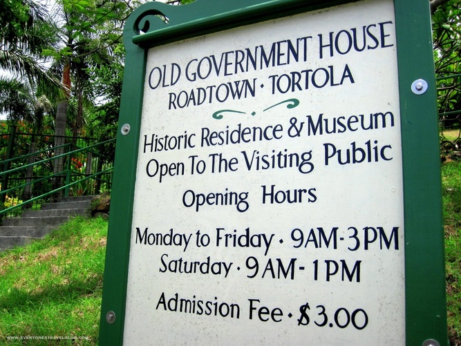
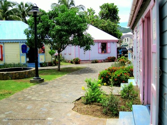
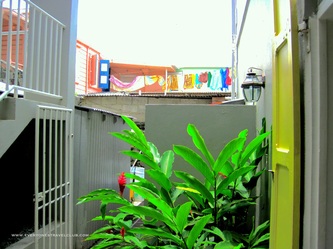
Everyone's Travel Club is back on Virgin Gorda, exploring as many beaches/bays as we can before our time is up and we head back to the Pacific Northwest. Today we visit Little Trunk Bay, which is just North of Spring Bay National Park. We actually swam/snorkeled from Spring Bay, around some rocks, and made it just fine. If you do do it this way I'd be careful and wear a PFD just in case you get tired. There is also a 'secret' trail through the trees/rocks from Spring Bay and word is it keeps going to Big Trunk Bay... Here we are! We're not alone. I'd have to say that this was some of the best snorkeling of the trip. I liked it better than Devil's Bay, Fallen Jerusalem, Savannah Bay, and Mosquito Island. 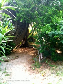 Here's that trail from Spring Bay...Go there now! ~Paul, Ann ETC Well, we've been kayaking, sailing, snorkeling, hiking, and pretty much adventuring the heck out of Virgin Gorda so we thought we'd take a little day-trip to nearby (30 min ferry ride) Road Town on the island of Tortola. I knew it would be a lot busier than VG with traffic, more people, etc. When we arrived it felt worse than I had expected. We immediately headed the wrong direction - towards the busy, crazy, not-like-Virgin-Gorda part of town. I was ready to head back on the next ferry. But we turned around, came back closer to the ferry dock we had arrived at, and went the other direction...ahhhh, that's better. Stick to old Main Street - directly behind the Pusser's General Store (you'll see this place when you arrive, it's across the street from the ferry dock). Bamboushay had great coffee... This place had great spices & gifts... Pusser's had great rum... There were lots of great alleys to explore... We discovered some historic buildings farther down main street... ...and a great view of the harbor. I guess the big city wasn't so bad after all!
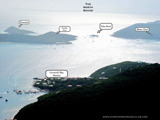
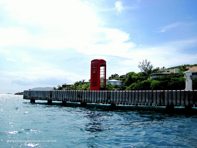
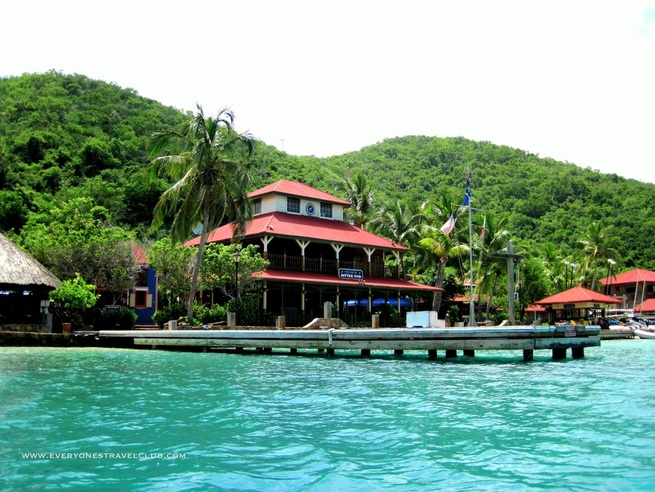
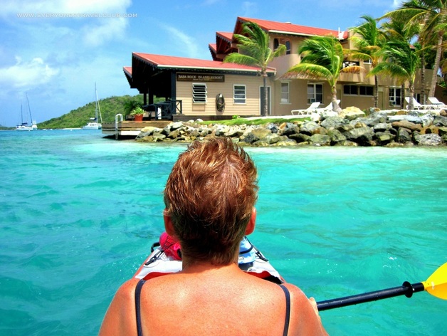
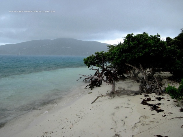
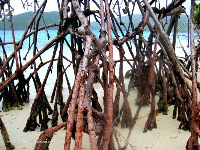
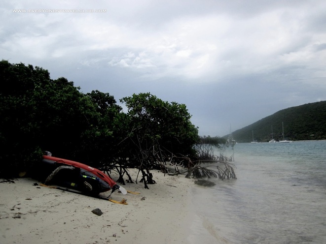
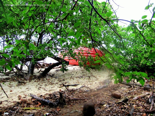
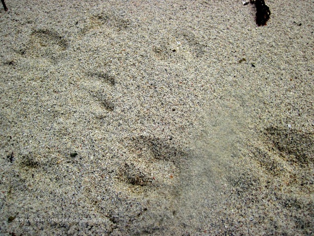
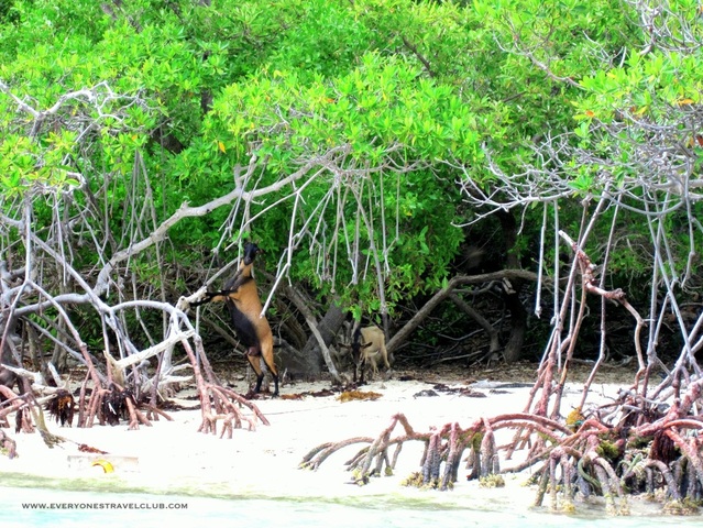
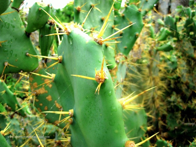
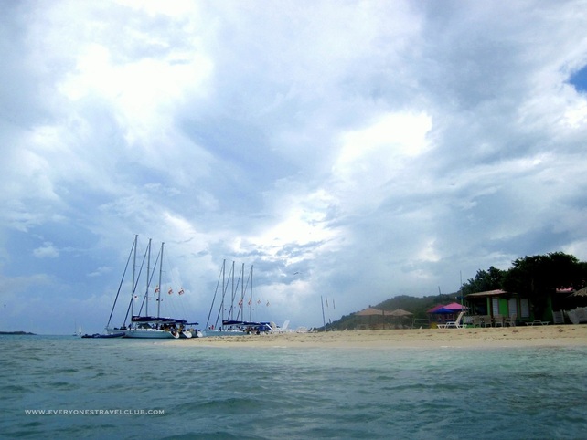
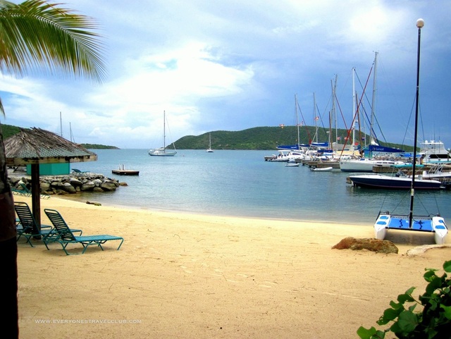
~Paul, Ann ETC Everyone's Travel Club continues with posts from the Virgin Islands! We took another kayaking trip, this time in the North Sound (where we had sailed earlier). We launched from the beach at the Leverick Bay Marina and then did a counterclockwise (in the picture above) paddle around to the Bitter End, Saba Rock, Prickly Pear, and then across the main channel and back. The paddle only took about 2 hours, even with our little pit stop on Prickly Pear due to a little storm cell moving through. Finally! Something British here in the British Virgin Islands! Gun Creek on our right. Water taxis leave here throughout the day for the Bitter End, Saba Rock, etc. These places are inaccessible by road. Saba Rock - a little bar, resort, mini-beach on the smallest island ever! Then, just moments after I took the Saba Rock picture in the blue, crystal-clear water, the winds picked up, the clouds blew over, storm! We took refuge under some mangrove trees on Prickly Pear Island and waited it out. This gave me time to track the locals. So this is why they call the island Prickly Pear, I see...
As the weather settled a bit we continued on past Vixen Point and what appeared to be the only settlement on the island, the Sand Box Bar & Grill, and then across the channel to Leverick Bay where we started. It was a great and easy little paddle. We stayed close to the shore most of the way, had lots of room to avoid boat traffic (there wasn't much), had lots of places to pull over if the weather got bad, there's about 4 bars along the way if you got thirsty, there's hiking on Prickly Pear (we didn't do it), and you arrive back at Leverick Bay when you're done, which I might add, has a restaurant, bar, showers, laundry, grocery store, free parking...perfect trip. ~Paul, Ann ETC |
Follow us on Twitter and receive updates when we post (click the birdie).
Archives
March 2014
|


 RSS Feed
