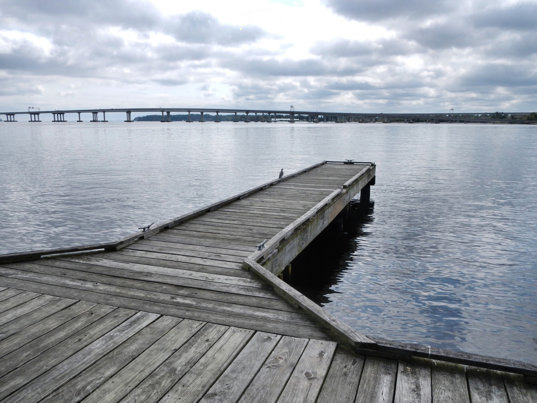
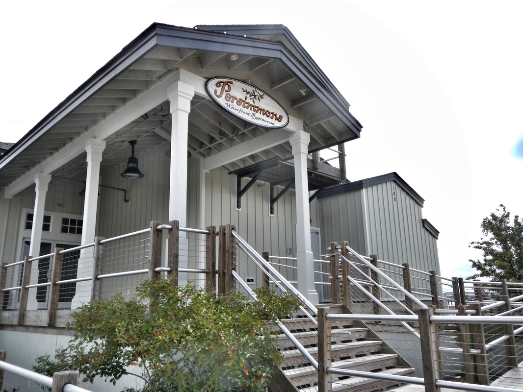
   Looking to kayak in New Bern, North Carolina? In our last post from the East Coast we launched from the opposite side of the Neuse River, away from town. However, if you're in downtown New Bern and feel the urge for a quick paddle just stroll over to Union Point Park. There's a boat ramp for bigger boats just around the corner, plenty of waterfront to enjoy, lots of parking, and a wooden dock to launch your kayak from. 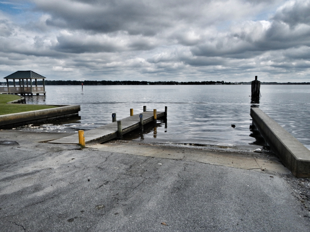 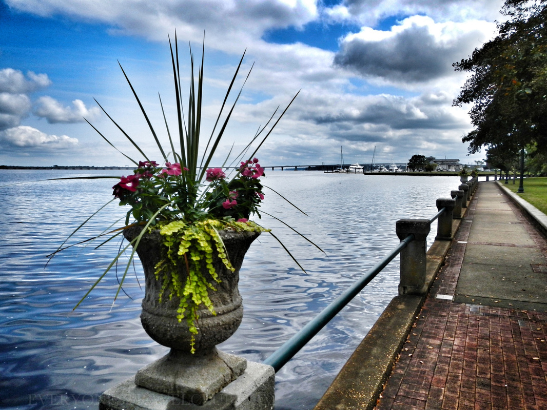 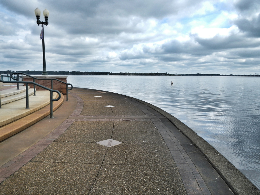 The Neuse River flows pretty slow here and without wind it's pretty glassy. Just up from the park is a nice little waterfront area called Skipjack Landing. There's a restaurant called Persimmons with a great outdoor seating area and gorgeous views of the river. Next-door/across the street is the Galley Marina & Store, a full service marina and grocery with all kinds of yummies and daily specials. The only negative for paddlers - the marina doesn't technically have a place to put in a kayak. You could probably unofficially launch from here without being bothered (we call it a rogue-launch:), but it's just as easy to launch from nearby Union Point Park. 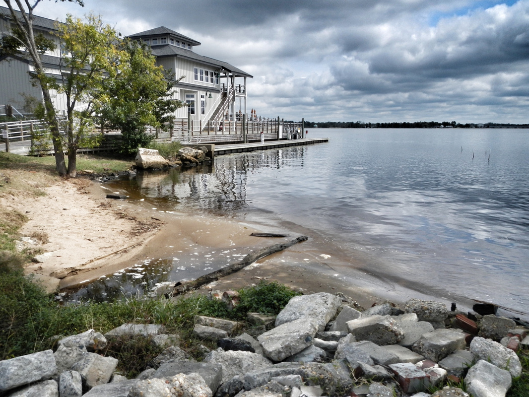
Persimmons Restaurant
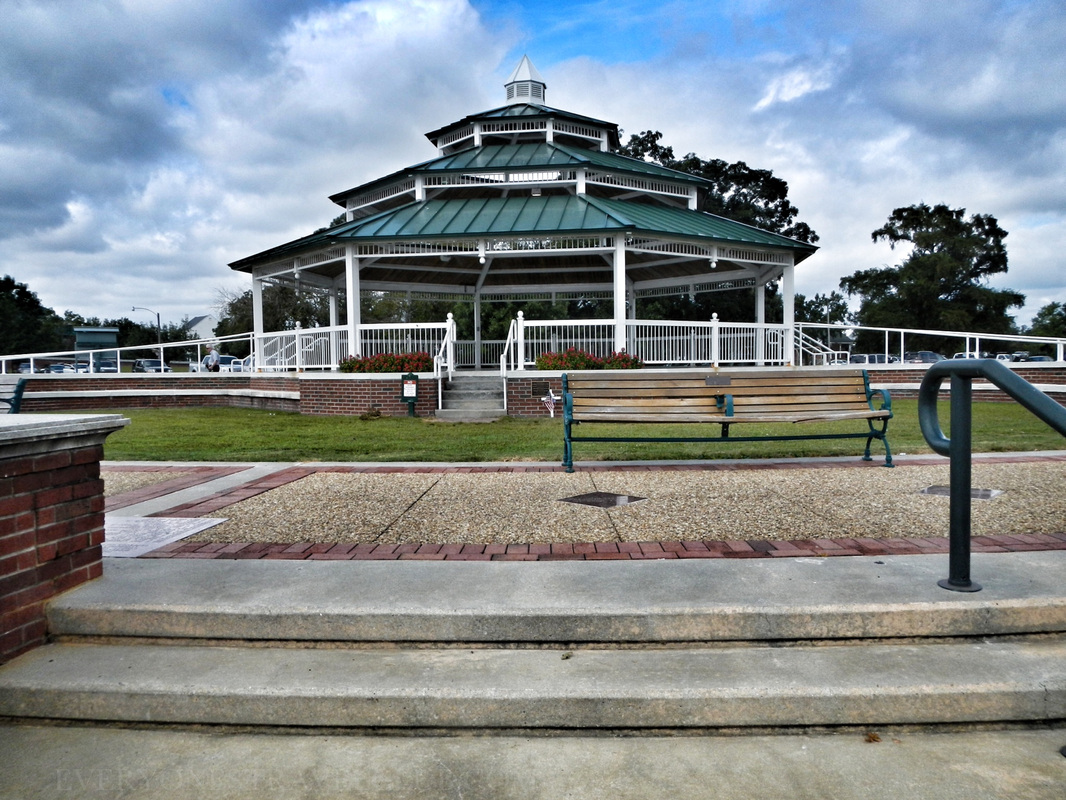
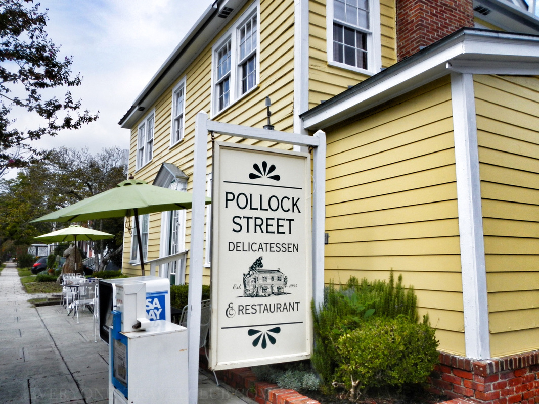
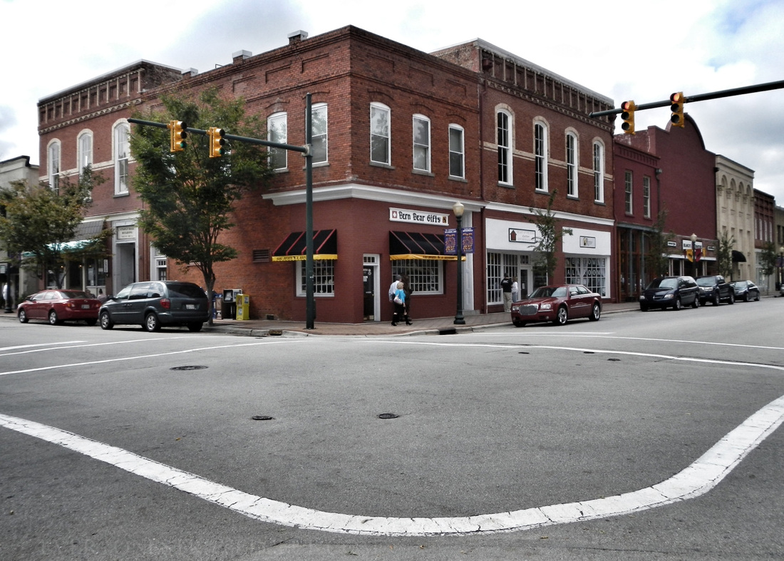
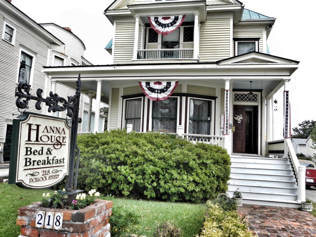
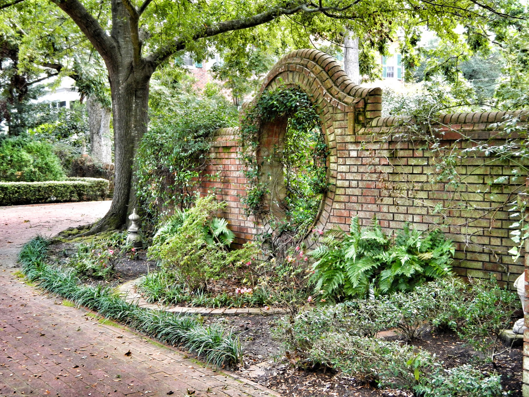
   If you keep exploring you'll discover more of the town - beautiful architecture, moss covered oak trees, great historic buildings like the amazing Tryon Palace, quaint bed & breakfasts - we love the Hanna House, and a tasty little delicatessen - the Pollock Street Delicatessen. New Bern is super-ultra-totally-amazingly-quaint…and more importantly, close to the water with access to Union Point Park and a gorgeous paddle on the river. ~Paul & Amber ETC 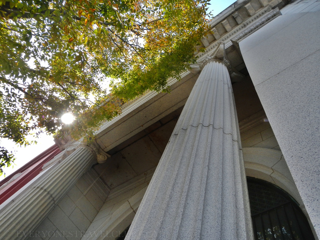
0 Comments
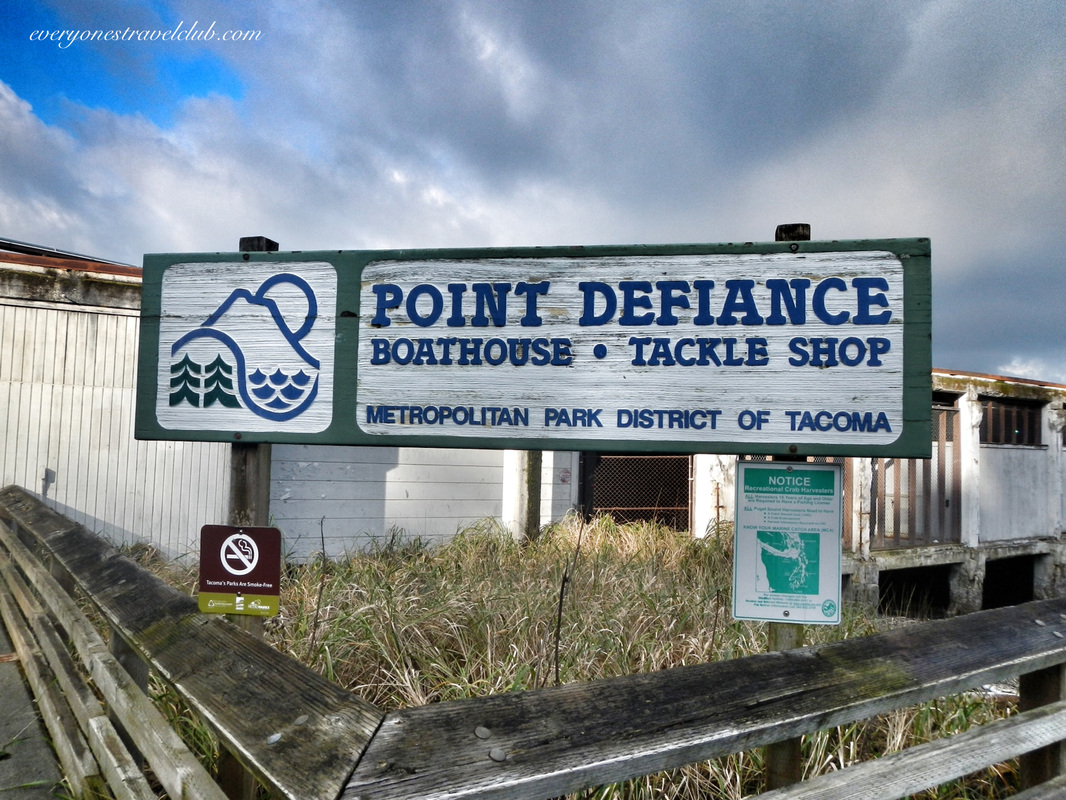
A little northwest of downtown Tacoma is the 702 acre Point Defiance Park. It's a city park…a giant city park. 702 acres puts it at one of the biggest city parks in the country. It sits on its own peninsula, jetting out into the south Puget Sound, pointing across the water to Gig Harbor & northward to Vashon Island. There is tons of stuff to do at the park - the Zoo & Aquarium, Rose Garden, Japanese Garden, Rhododendron Garden, beaches, trails, lots of picnic spots, dog park, Fort Nisqually (long story), ferry dock, boat ramp, boathouse, and more. 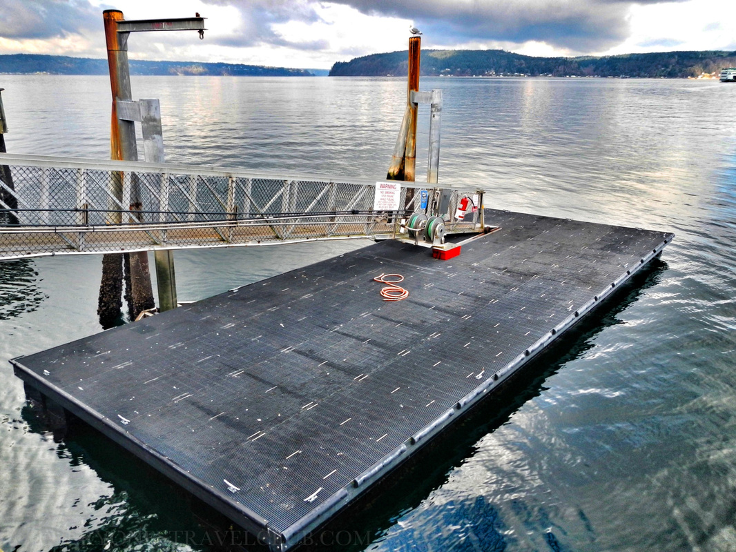 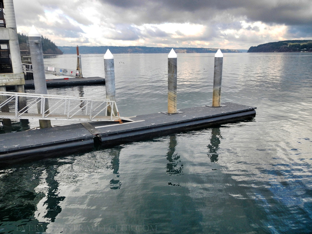 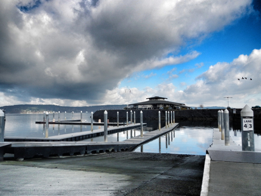 If you park near the boathouse & marina there's quite a few places to launch a kayak (there's also a boat ramp for trailered boats). A lot of the docks were nice and low…perfect for paddle-craft. It didn't really seem like you'd have to pay a launch fee, however, it's always a good idea to check the message boards at the boat ramp just in case. 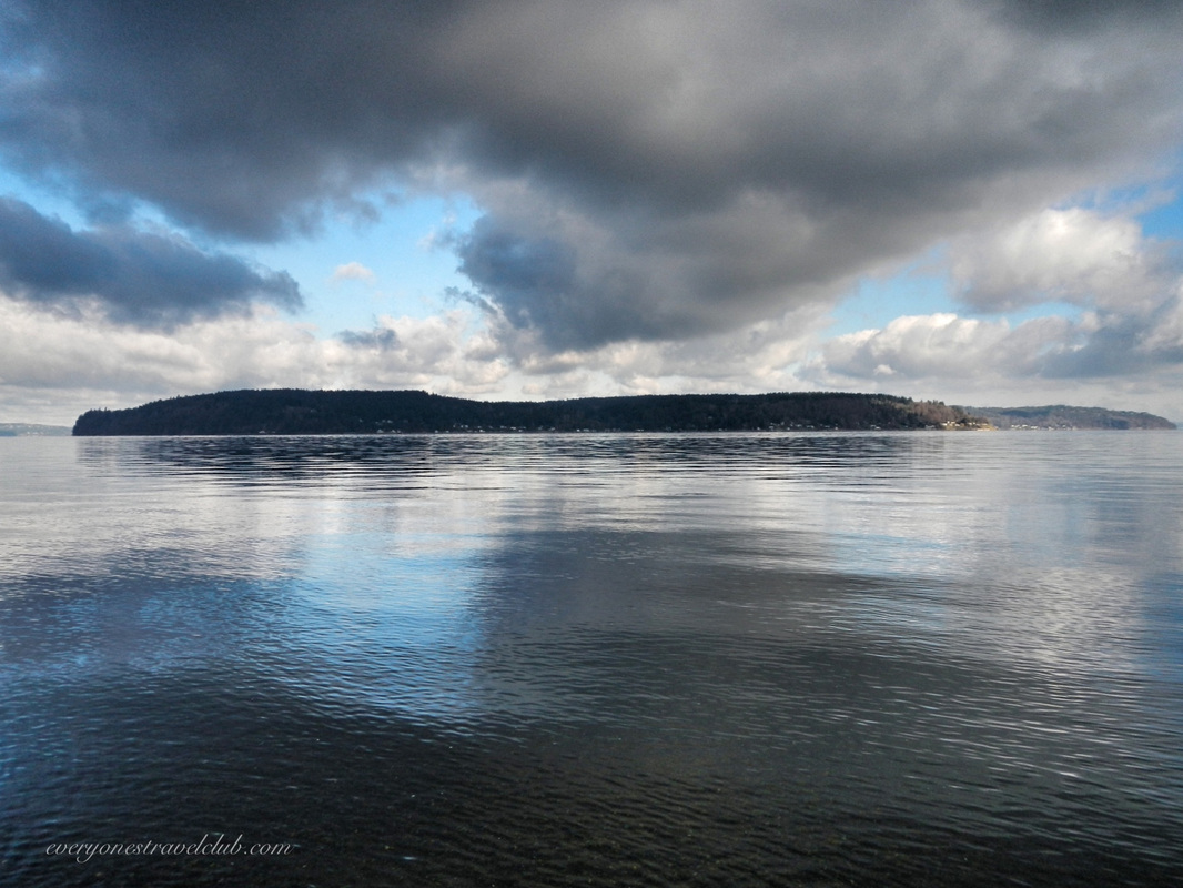
A look across the water to the north reveals the southern tip of Vashon Island. The Tahlequah ferry route takes you from Point Defiance to Tahlequah on Vashon (who knew there was a ferry dock here?). 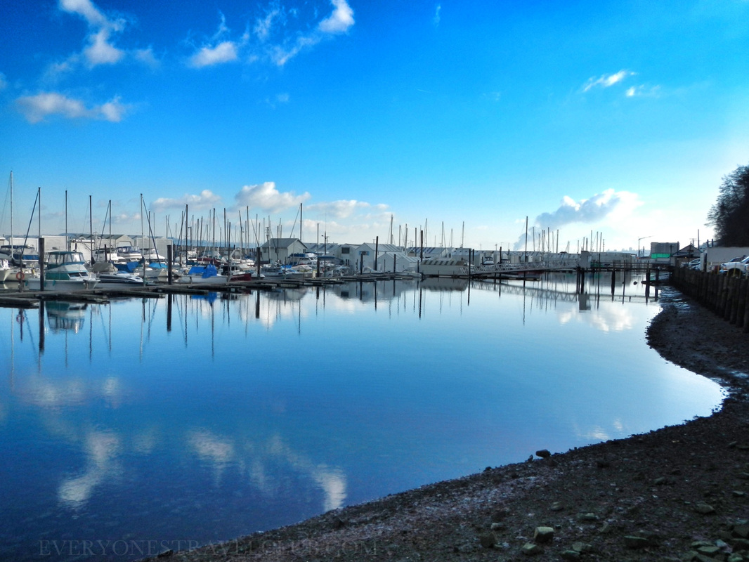 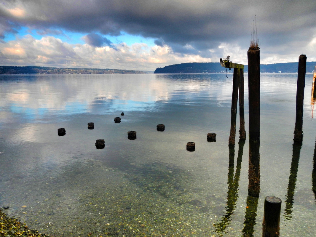 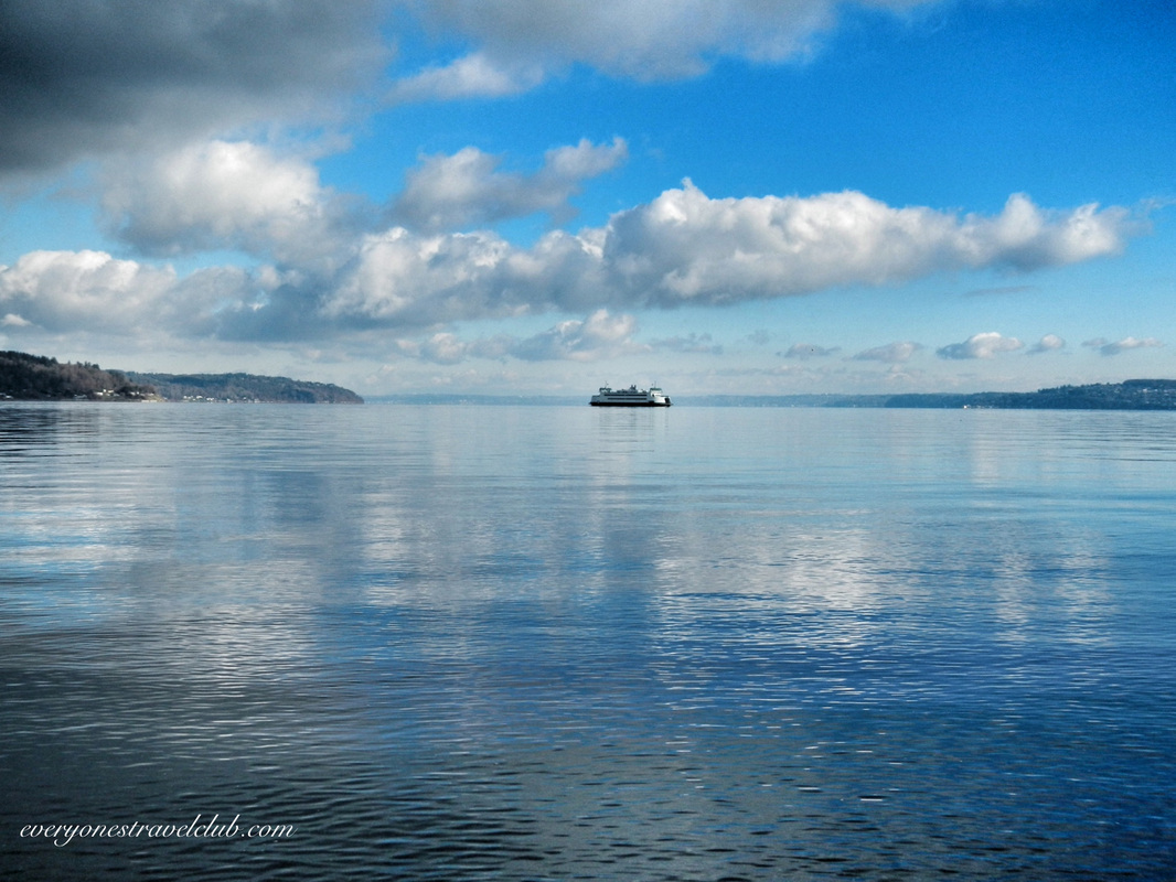
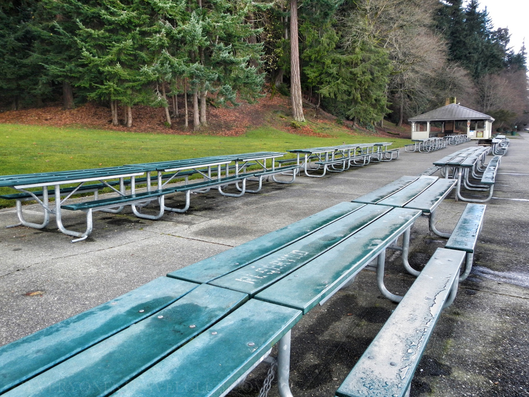 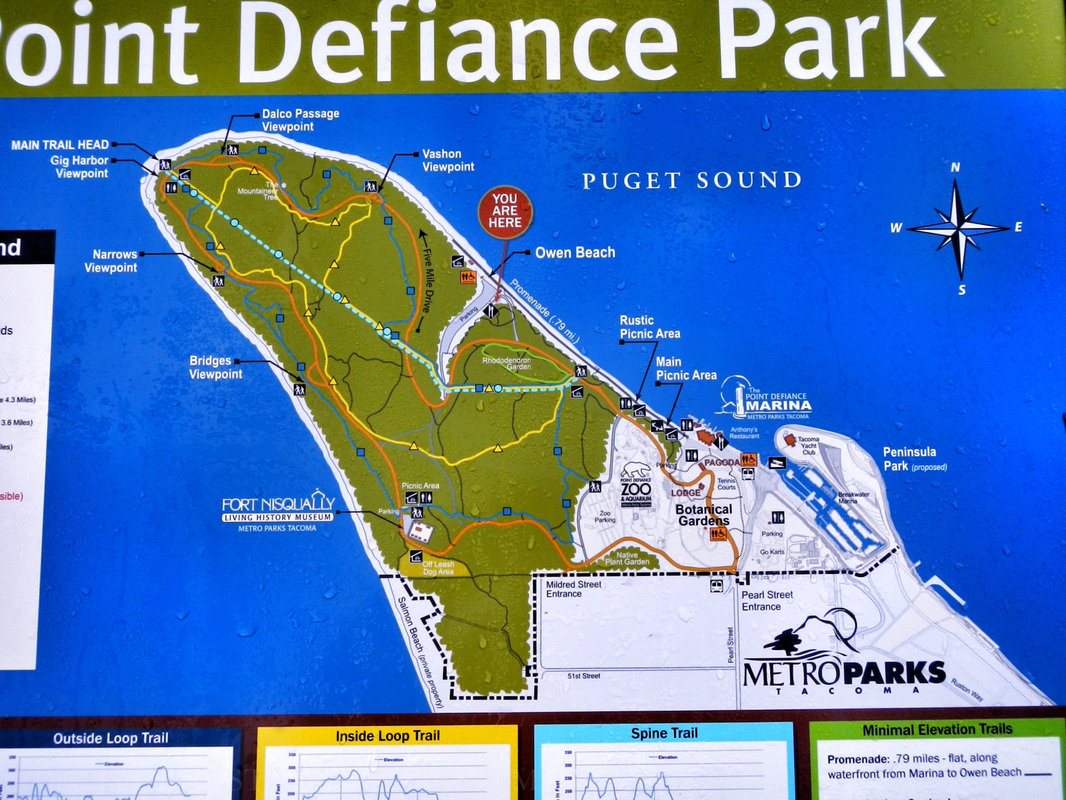 The park is big - don't get lost! We parked at the boathouse, walked down the beach to Owen beach & back, then got back in the car and drove to the Nisqually Fort area. It's cool to read about the history of the park on the boards near the boathouse - this was the place to be in the 1800s! 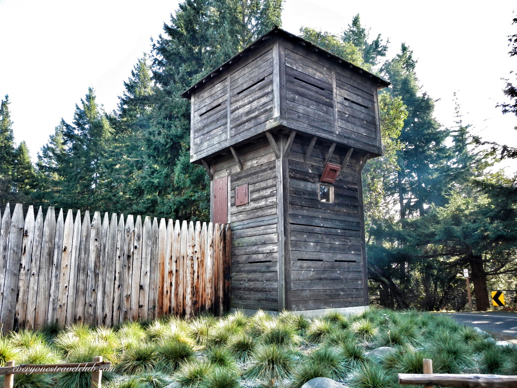
Huh, a giant fort in the park. Interesting. Luckily, we had just visited the Nisqually National Wildlife Reserve (our post here) so it kinda all made sense! The fort here is part replica, part relocation of the original fort 17 miles away near the Nisqually delta (it's not there anymore). Historically, this was the first European settlement in the Puget Sound. There's tons of info here from a friendly and knowledgable staff - we'll be back to take the tour soon. Check out more at their website. 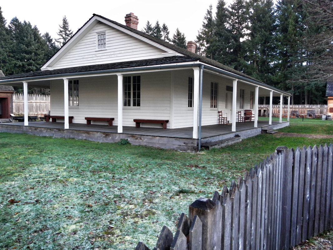  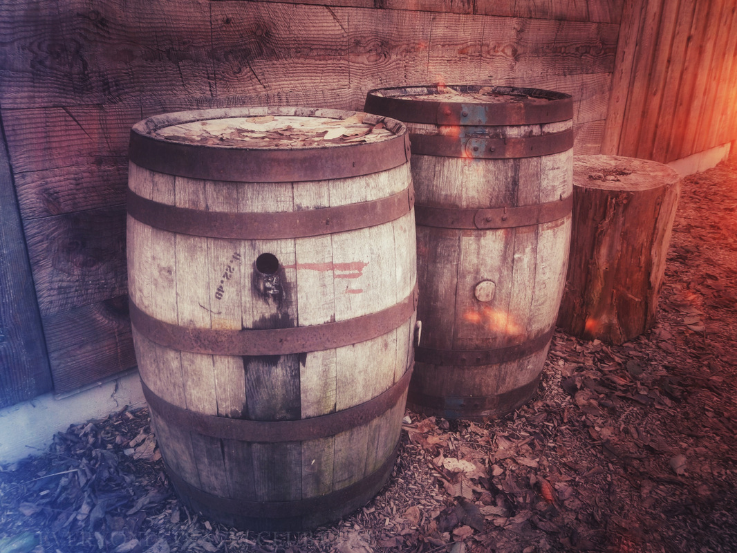 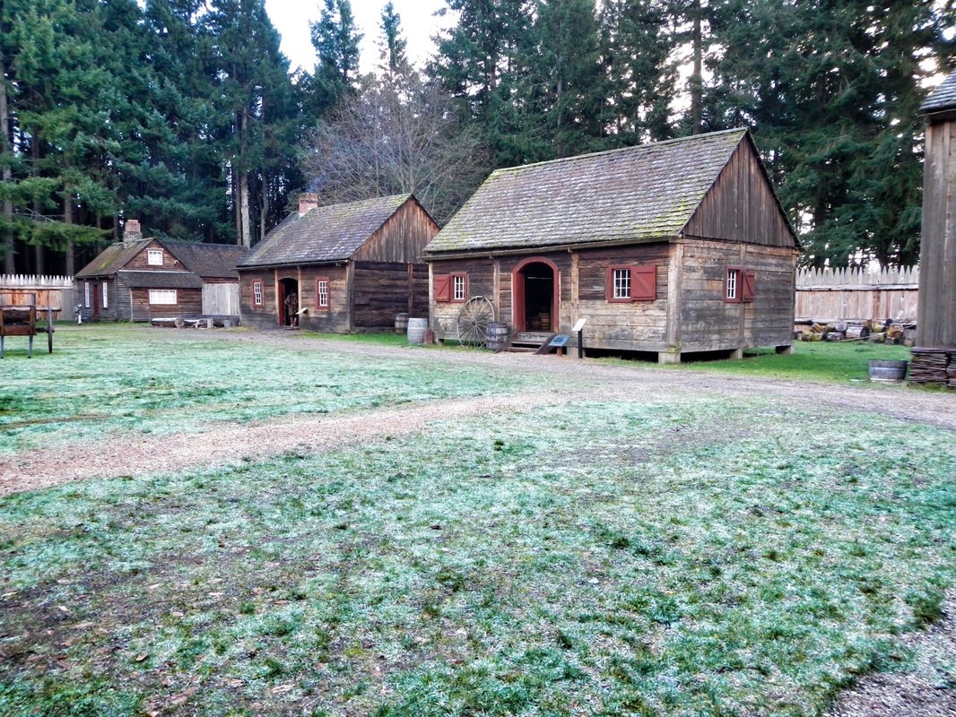 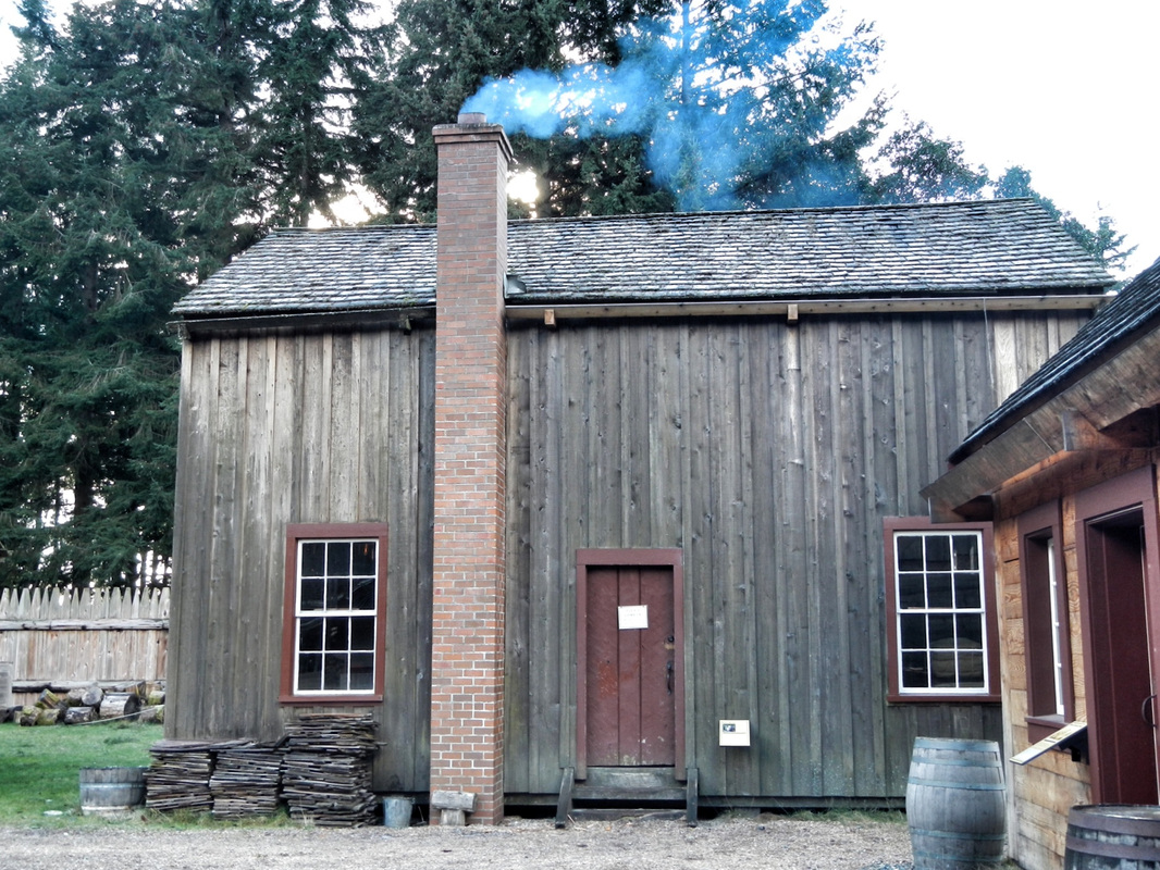 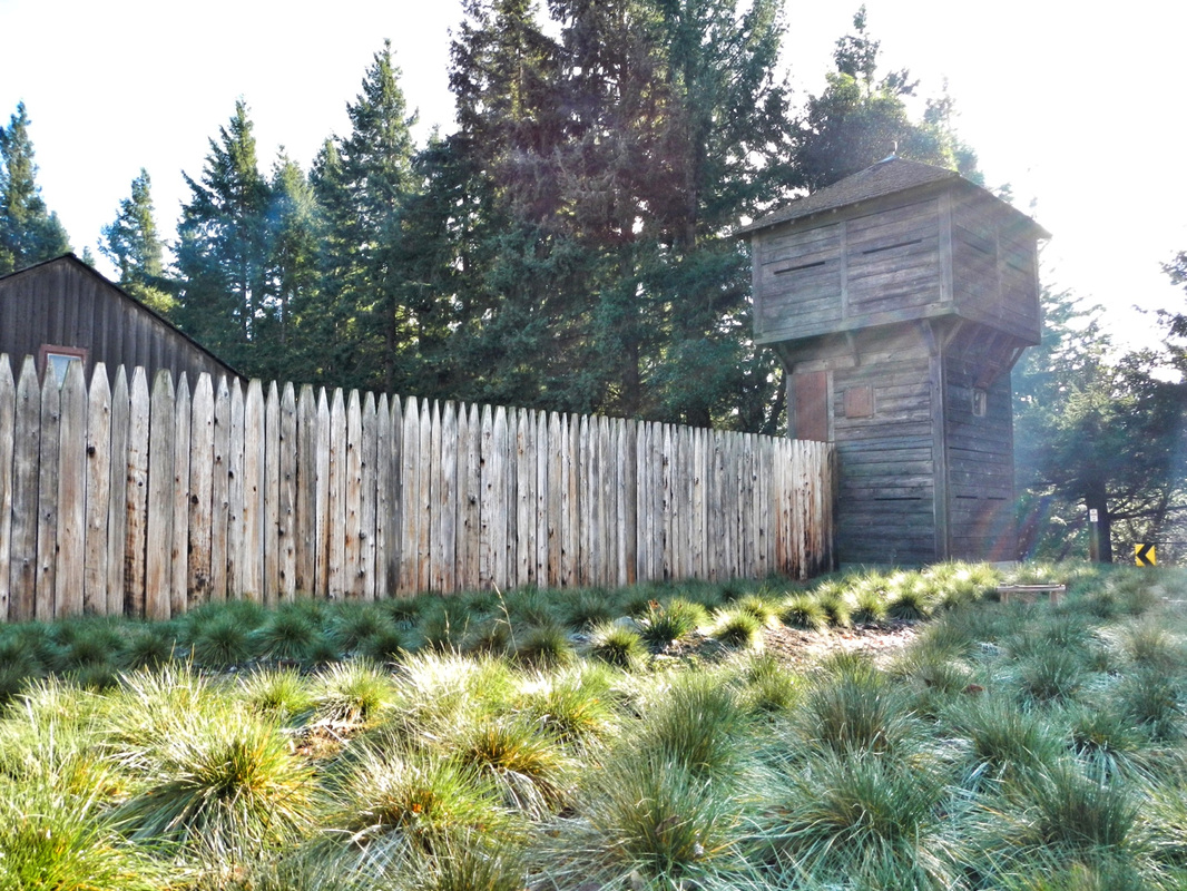 Just past the fort is the dog-park and trails that lead out to a great Tacoma Narrows lookout…watch your step - it's a long way down from these cliffs! 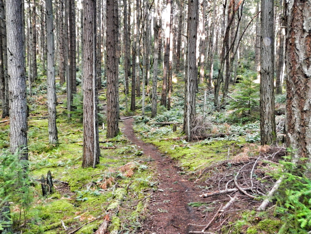 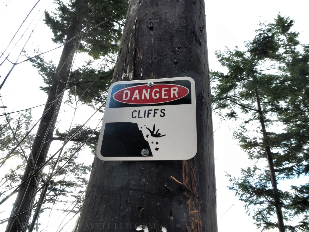 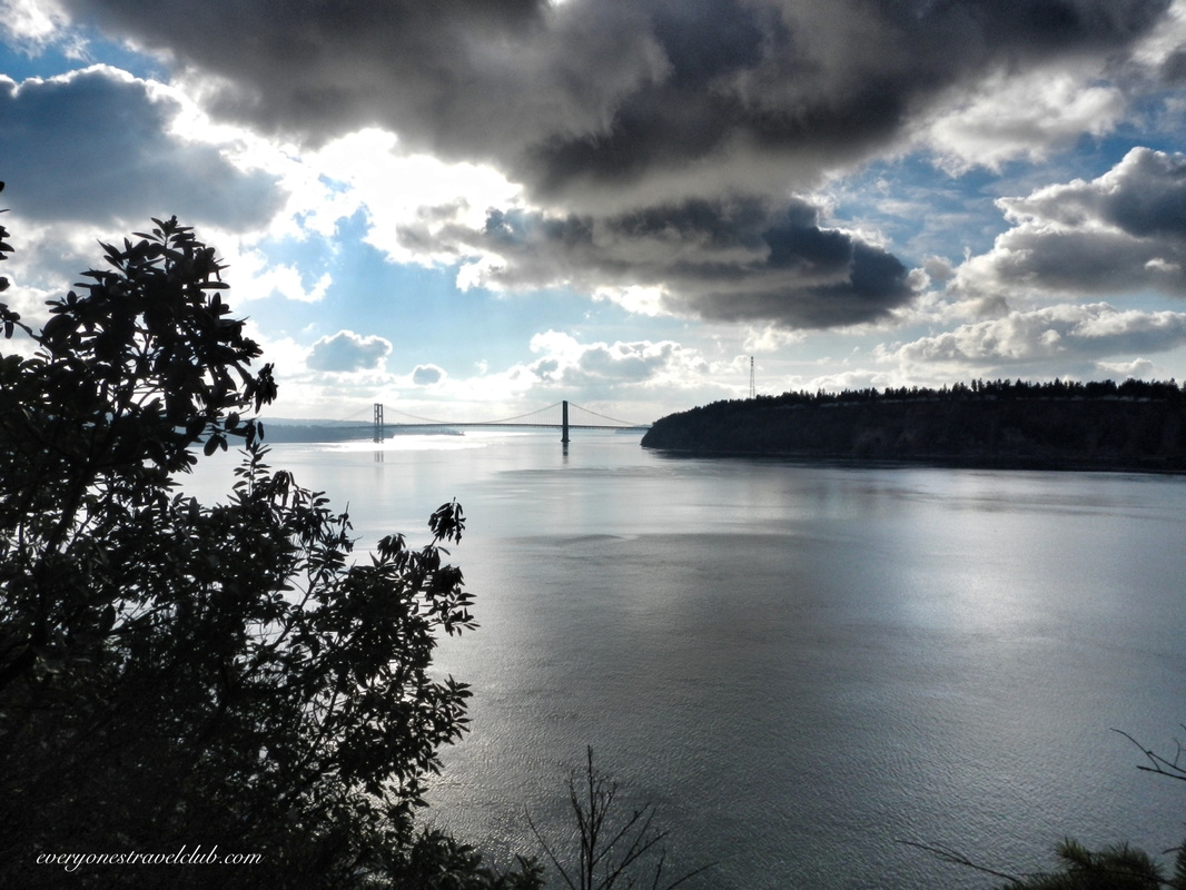
Pow. A sweet view of the Narrows from the edge of the park. The Tacoma Narrows bridge is in the distance (I think of this video every time I see it). There's also a tall power-line tower looking thingy to the right of the bridge…that's actually a tower with lines bringing electricity all the way from the Cushman Dam (Oh ya, I remember that place). 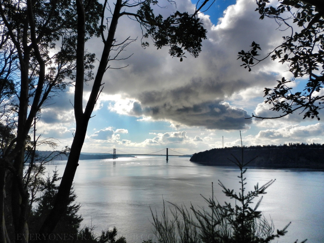
So, I think we've settled any uncertainty you might have about spending the day at Point Defiance Park. We did it without even showing you pics from the zoo, aquarium, & gardens. It's a cool place, check it out.
~Paul & Micah ETC 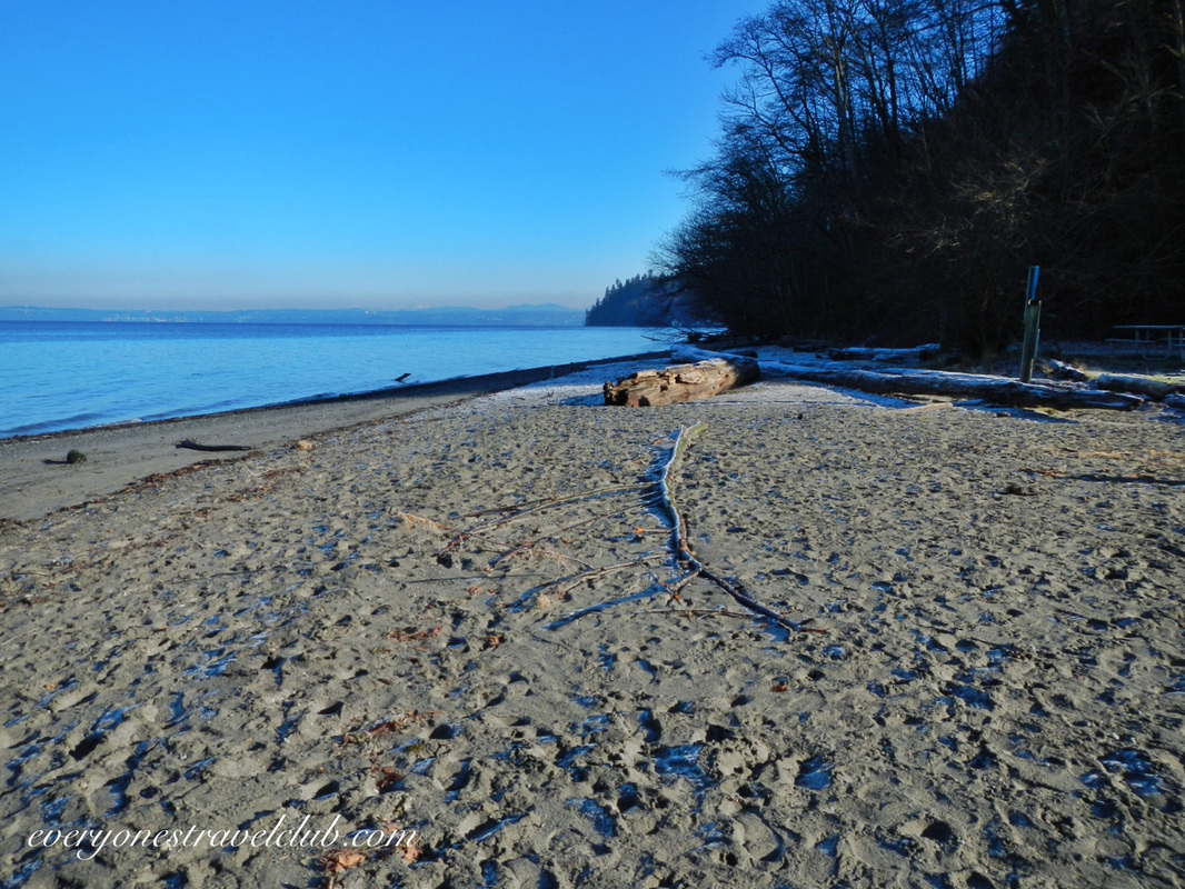
{Maybe}. Dash Point State Park might be a good place to camp on a multi-day paddle - it depends on your gear and how peaceful you want it. We visited the state park recently, not to be confused with Dash Point Park, located just south of this place (Dash Point Park has an L-shaped fishing pier…and is actually on Dash Point). The state park is on the Puget Sound, about 6 miles north of Tacoma and 20 miles south of Seattle, located in Federal Way. We visited in the winter and the place was empty. It's a pretty hilly park, heavily wooded, with a nice beach, lots of hiking trails, and a campground. A Discover Pass is required to park a vehicle. A cool thing about the park for folks in the South Sound - there is sand on the beach (instead of the usual NW rocks)! People actually swim here in the summer. Now, let's get this straight - I don't recommend swimming the usually-40-ish-degree Puget Sound. However, people swim here. A minor slope extends out a few thousand feet into the water here making it super shallow. When the sun warms the shallow water it must make it bearable to take the plunge…or NW people are a little kooky and will swim in any temperature of water (one of these statements is correct:). 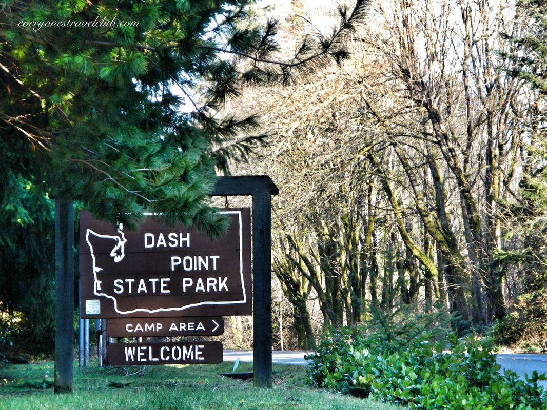 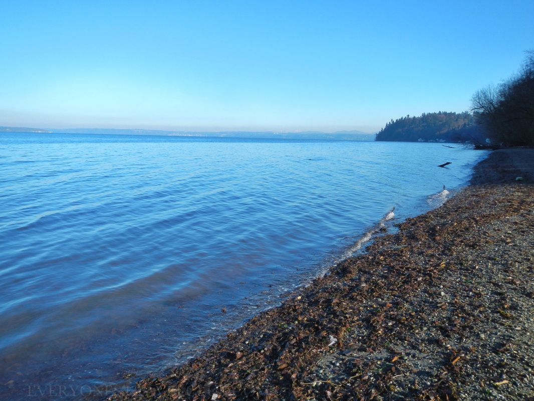 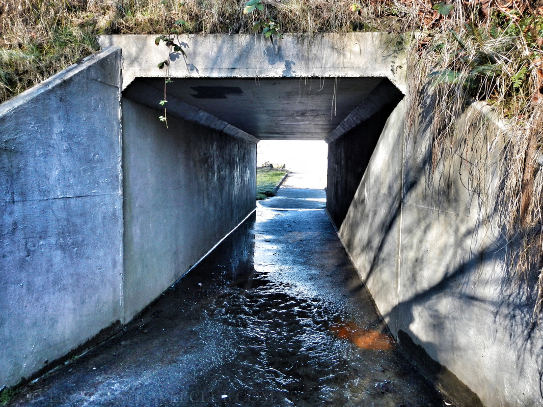 Alright, settle down people. Back to winter hiking and the possibility of one day kayak camping on an amazing paddle from Olympia to Seattle…or wherever your plans take you. From the online reviews of the park (which can or can't be trusted…I haven't decided), it seems like the state park can get pretty busy in the warmer months. The question is, will you want to deal with car-camper-party-folks after a long day of paddling? Probably not. With that said, they do have discounted water trail campsites available. It's nice to know it's here if you really needed it on a trek north or south. 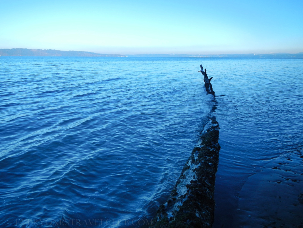
The hiking trails in the park connect to a somewhat larger network that seems pretty popular with mountain bikers. I would be careful hiking on the mountain bike trails - it's a collision waiting to happen! At low tide it is possible to walk down the beach to actual Dash Point and Dash Point Park/the fishing pier. A reason why it might-not be a OK place to camp on a multi-day paddle - the campground is a good distance from the water…and up a hill…only ok if you have a cart or an inflatable situation like us:) It really depends on your gear. 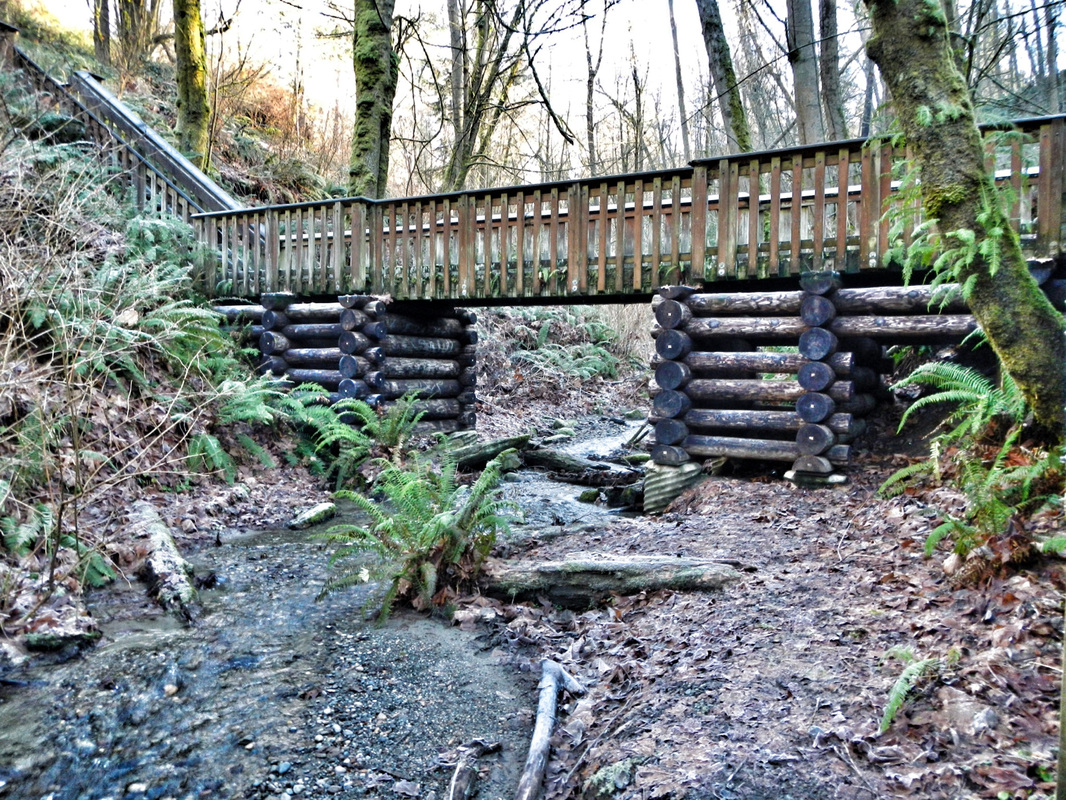 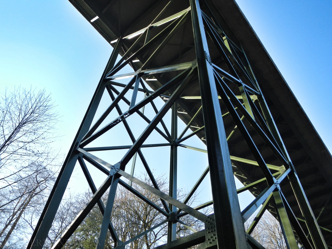 On our visit we walked from the state park parking lot to the beach (it was close). We then hiked all over the place, including hiking out of the park on other trails that put us in a nice residential area (neighborhood pics below) and up what is apparently called "Heart Attack Hill". P.S. Our wives always get mad when we hike on trails without mapping it out first and then end up in residential areas…it has surprisingly happened quite a few times…but who's counting? We left King county and entered it again, went off trail for a few minutes (our wives usually hate this too) and finally got back to where we started. It was nice to get out in the winter. The actual state park has around 11 miles of hiking trails and is just under 400 acres in size. So, Dash Point State Park is great for hiking and swimming, OK for camping, but you'd probably want to scope it out for kayak camping before you include it in you plans. They do take reservations in the summer months which is nice. There's a few links below to get you started, enjoy! ~Paul, Micah, John ETC Camping info from the state park website here. Map of the park and campground here. General info about the park (for camping) from www.stateparks.com A nice little article about the park from NW Tripfinder. 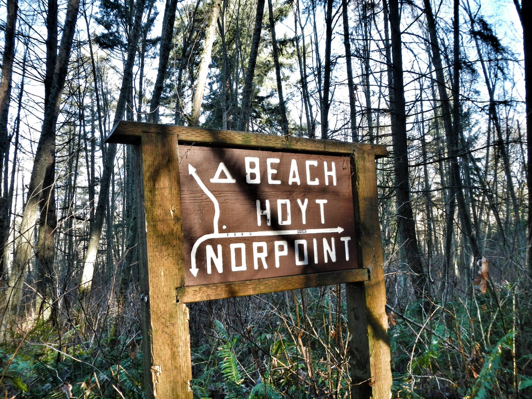 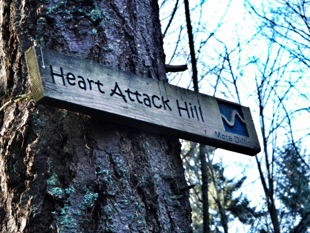 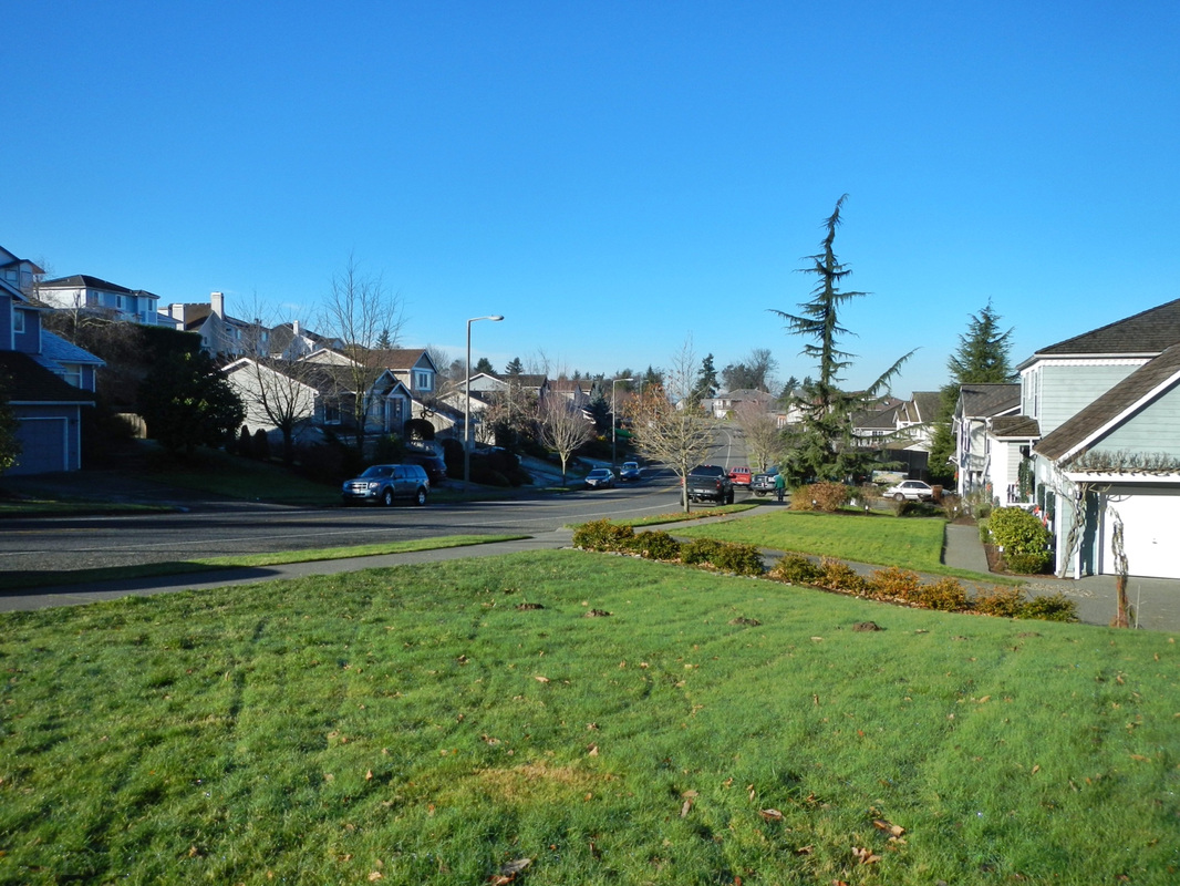 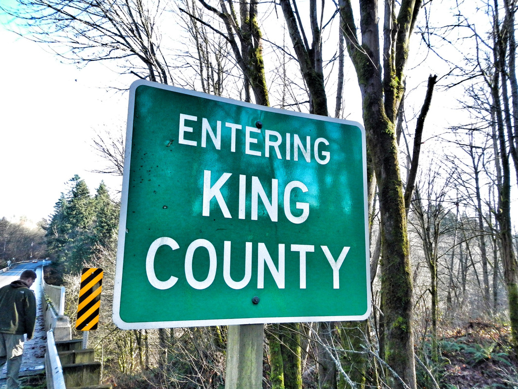  Lately we've been exploring some of the many parks scattered along the coast of Washington's Puget Sound. We like to visit them in the offseason (it's winter around here), mainly because they're usually free of crowds & traffic. It also helps us out for the upcoming summer - we know where to go, where to park, where to launch a kayak. Also, when I can, I like to see future paddle trips from the land first, it's helps orient things when I'm on the water. When we get home from a day out, I eventually download all of the pictures from the adventure, delete the blurry ones, edit, delete, import, export, move to this app, move to that one, upload, and download. Once I have the pictures organized in article format, I start researching where we've been. That's right. With most park visits: I research after we get home. Now, not all trips are like this - paddling & sailing trips are way different. We check the tides, check the currents, check the weather, check all kinds of stuff. With park visits it's sometimes nice going in ready to hike, ready to learn, ready to take pictures, ready to get lost, but not exactly knowing what's going on. 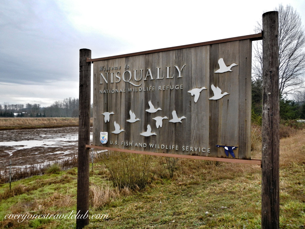 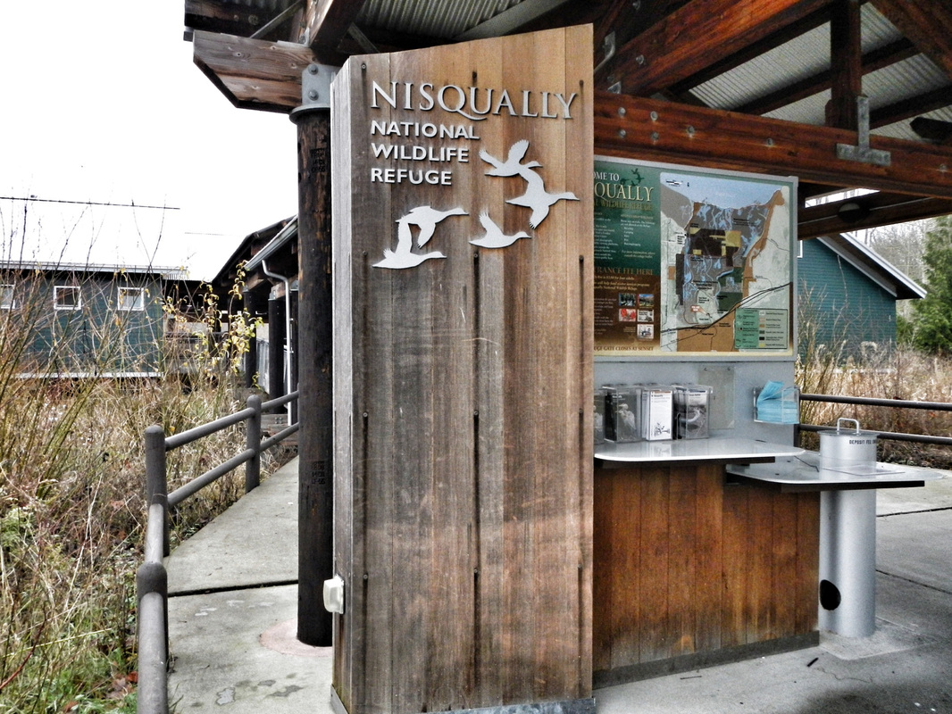 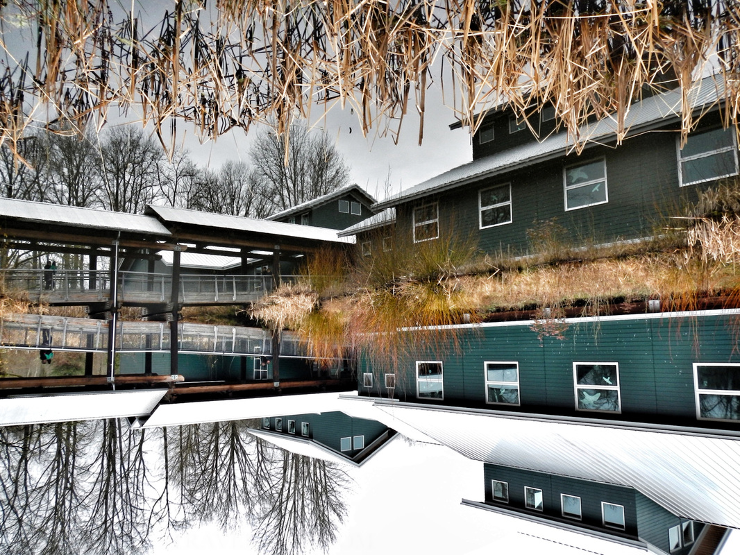 With this in mind we set out for the Nisqually National Wildlife Refuge. Located just off I-5 between Tacoma and Olympia Washington, the refuge is a protected estuary formed by the freshwater of the Nisqually River & McAlister Creek emptying out and meeting the saltwater of the Puget Sound. The Nisqually Delta is biologically diverse - animals all over the place - and is heavily influenced by the tide. I could tell this from the map - the refuge is a giant green spot. From paddling the Skagit & Stillaguamish river deltas I could kinda imagine what it would be like. You can see the refuge in the map below. Just follow the signs off of I-5 to get there, the 'A' on this map is a boat ramp (discover pass required), adjacent to the reserve, suitable for launching a kayak and paddling up McAlister Creek (most of the actual refuge is off limits to boats). 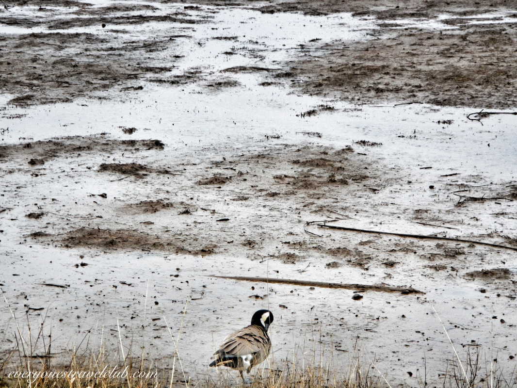 When you arrive at the refuge there is a $3 parking fee and lots of spots (I'm sure it gets crowded on the weekends in the summer). There is a nice visitor center & restrooms. There are a few trail choices - about the most you can go is the 4 mile roundtrip boardwalk trail, it's sort of an out and back. Since the tide is in and out a couple times per day, the Washington Fish & Wildlife department worked to build the boardwalk that takes you out to the far reaches of the refuge. Informational boards are around to give you an idea of what exactly is going on with the thousands of migrating birds, various mammals, amphibians, and reptiles that live and/or frequent the area. 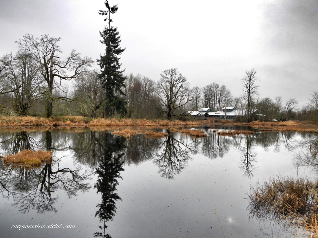 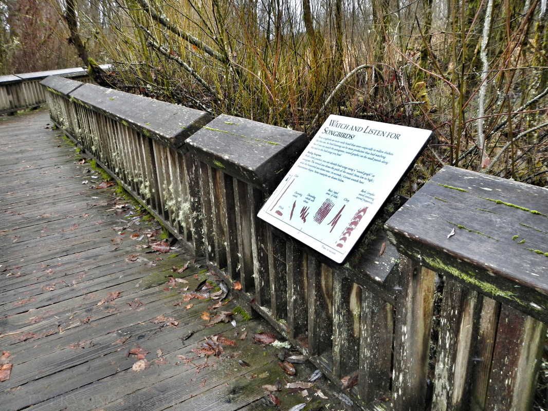 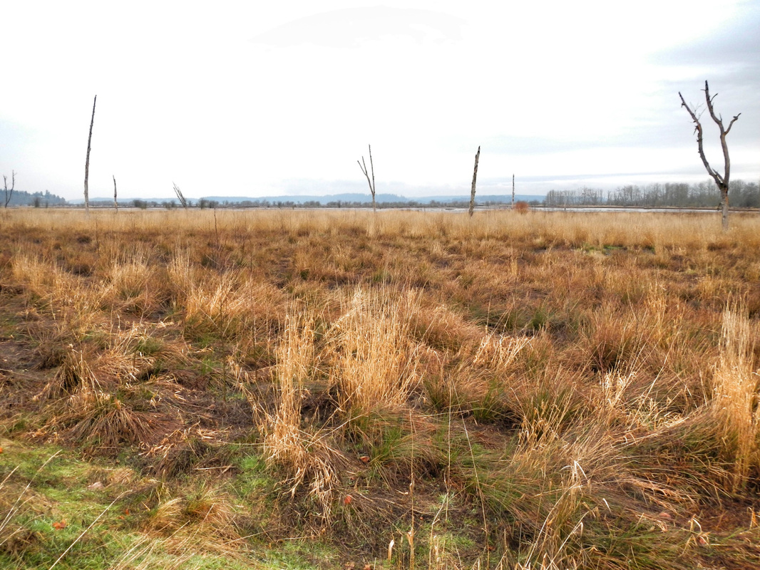 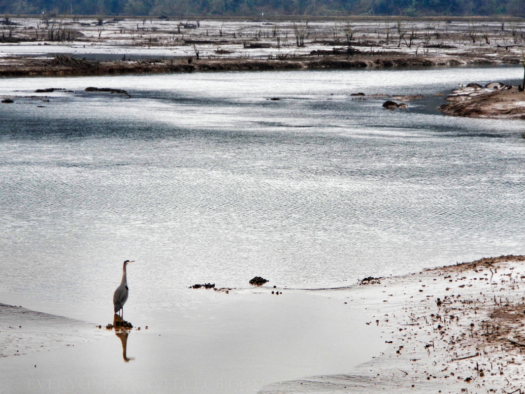 From a paddlers point of view, most of the area is off limits to boats (that includes kayaks). The picture below of a couple canoeing is from McAlister Creek - located adjacent to the refuge. A nearby boat ramp gives great access to the creek. Personally, I'd wait until waterfowl hunting season is over to paddle around here just to be safe…or at least wear some orange? The season in WA usually happens October-ish to February-ish. Here's a link with more info. 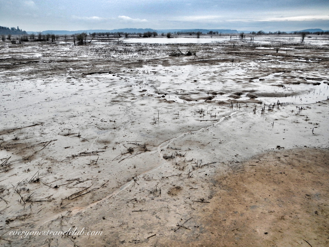 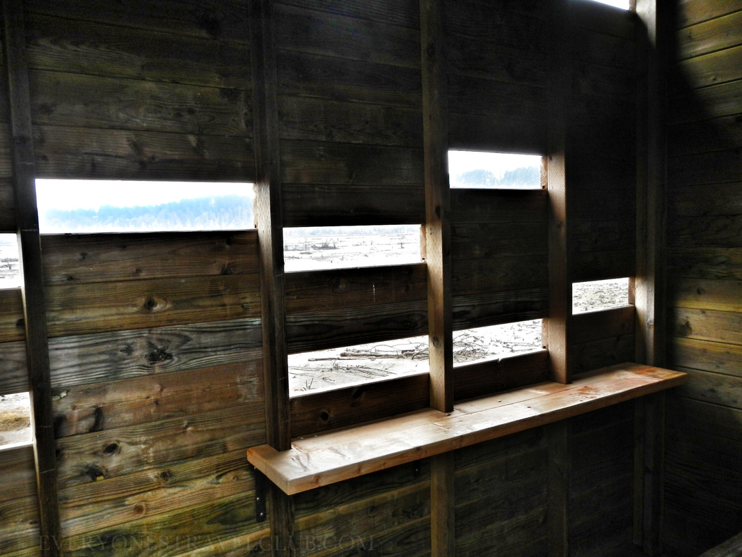 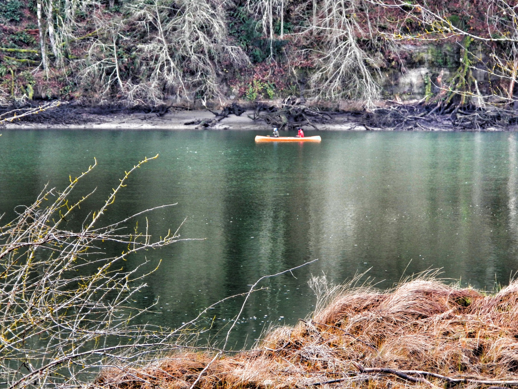 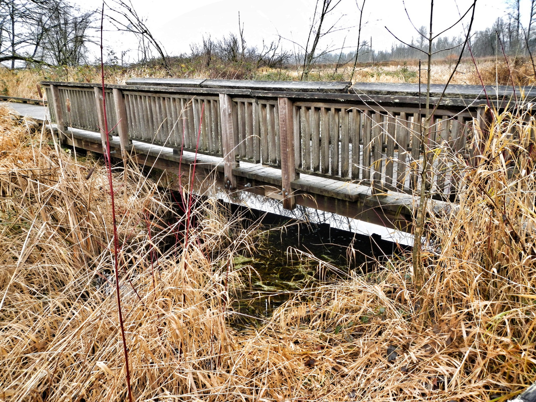  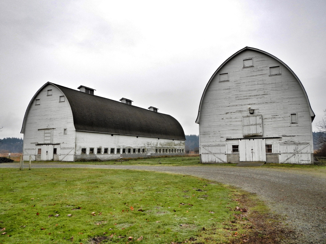 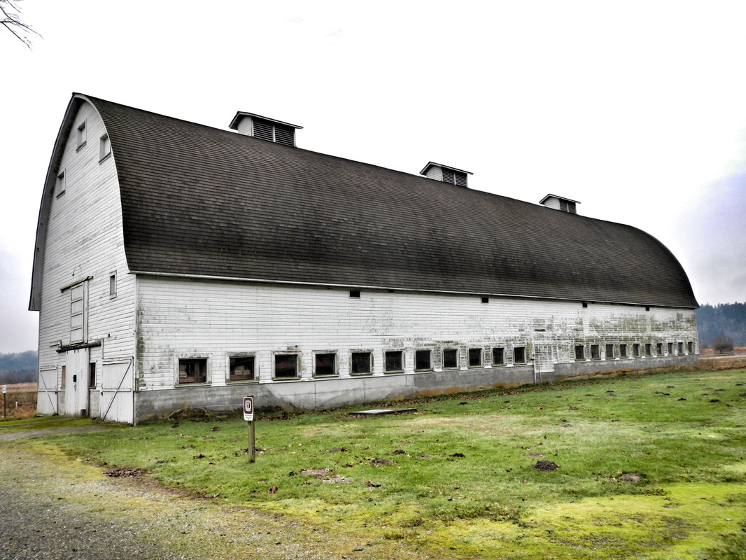 That about covers the facts, what did I uncover post-visit about the history of the place? Well, let's start out with a shout-out to the Nisqually Tribe who have lived & fished salmon on the Nisqually River for…wait for it…thousands of years. (the river starts miles away on the south side of Mt. Rainier, otherwise known as Volcano Rainier). Just step back and think about that for a minute. Thousands of years. Enter the white man in the mid 18oos and a treaty that was eventually signed between them and the Nisqually tribe. Actually, we are pretty sure that Chief Leschi (Leschi neighborhood of Seattle anyone?) of the Nisqually didn't, or at least didn't want to, sign this treaty - called the Medicine Creek Treaty (P.S. Medicine Creek is now called McAlister Creek - the one in the picture above with the canoeing couple). At any rate, the tribe was relocated and the white man obviously settled. There's also now a military base on part of the tribal land. I think we can, if anything, at least know and respect this history while playing/walking/taking pictures/kayaking/hunting on the Nisqually. 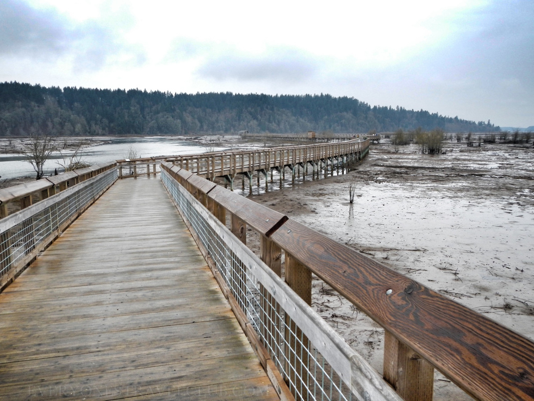 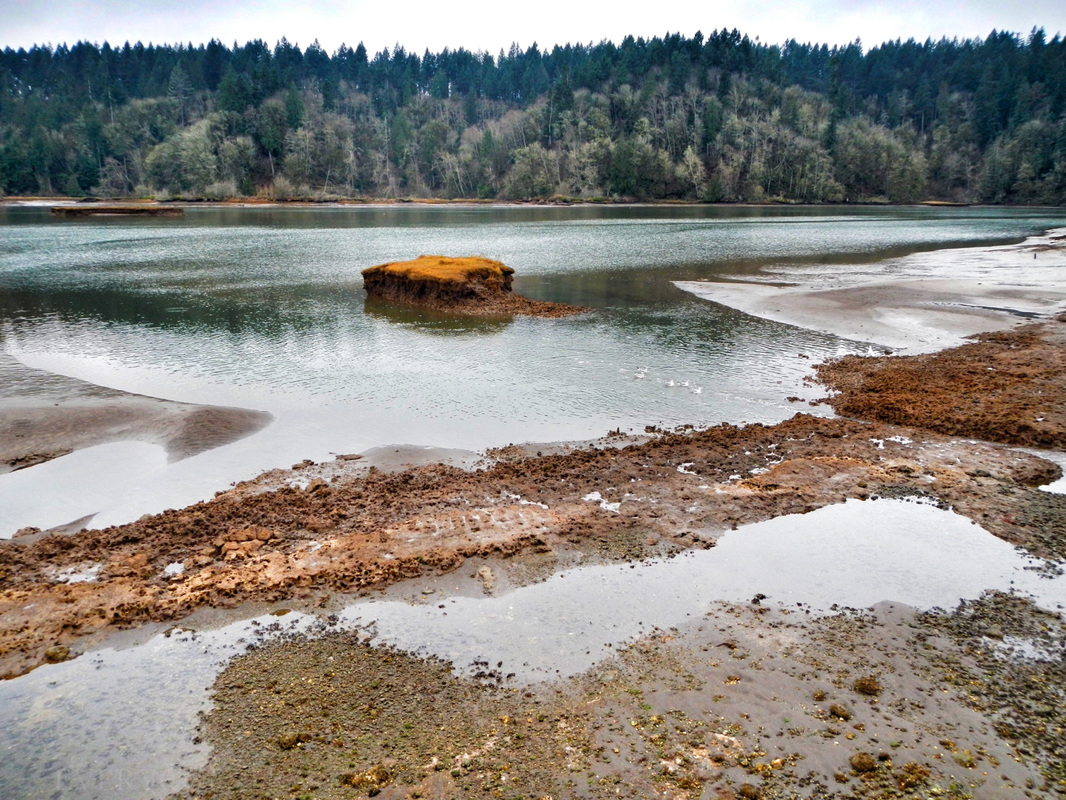 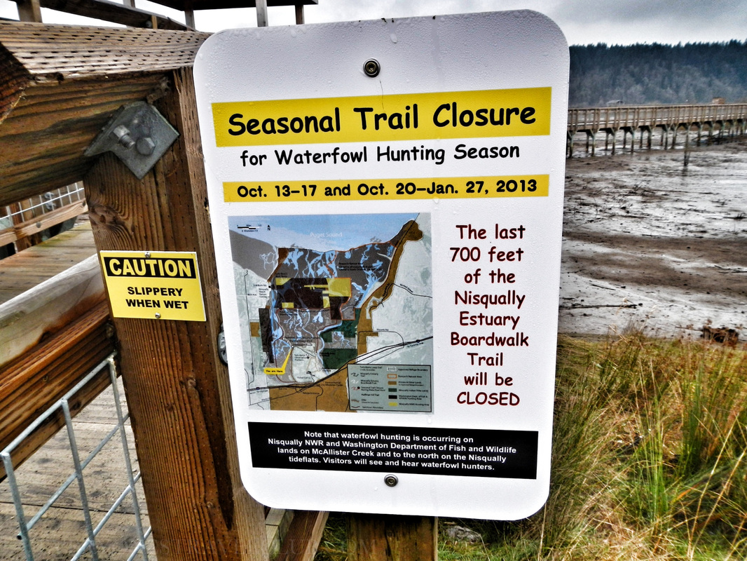 That's a wrap! We highly recommend checking out the Nisqually National Wildlife Refuge. Take a lunch - there are plenty of tables for a break. Take a zoom lens for your camera & binoculars too. Word on the creek is there are snowy owls there right now! Check the tides before you go if you want to see the mudflats (mudflats sometimes = better birding). If you want to kayak near the reserve, use the boat ramp adjacent to the park (the map at the beginning of this post). When you're there, imagine the thousands of years that people have lived on this delta & river…amazing stuff. Oh ya, if you see one, don't kiss the poisonous newts. ~Paul & Amber ETC 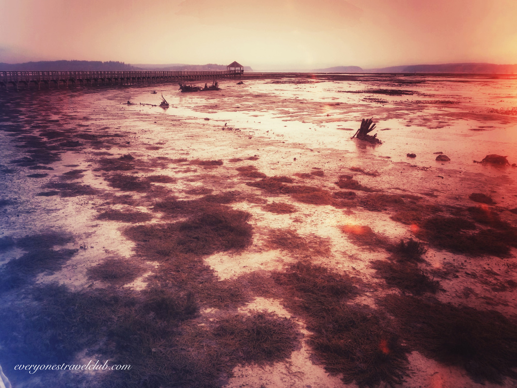 |
Follow us on Twitter and receive updates when we post (click the birdie).
 Archives
March 2014
|
 RSS Feed

|
Connect:Contact: |
everyonestravelclub@gmail.com |