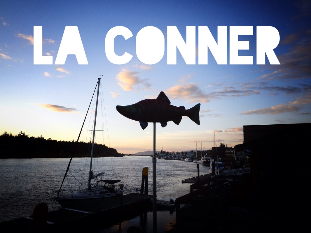
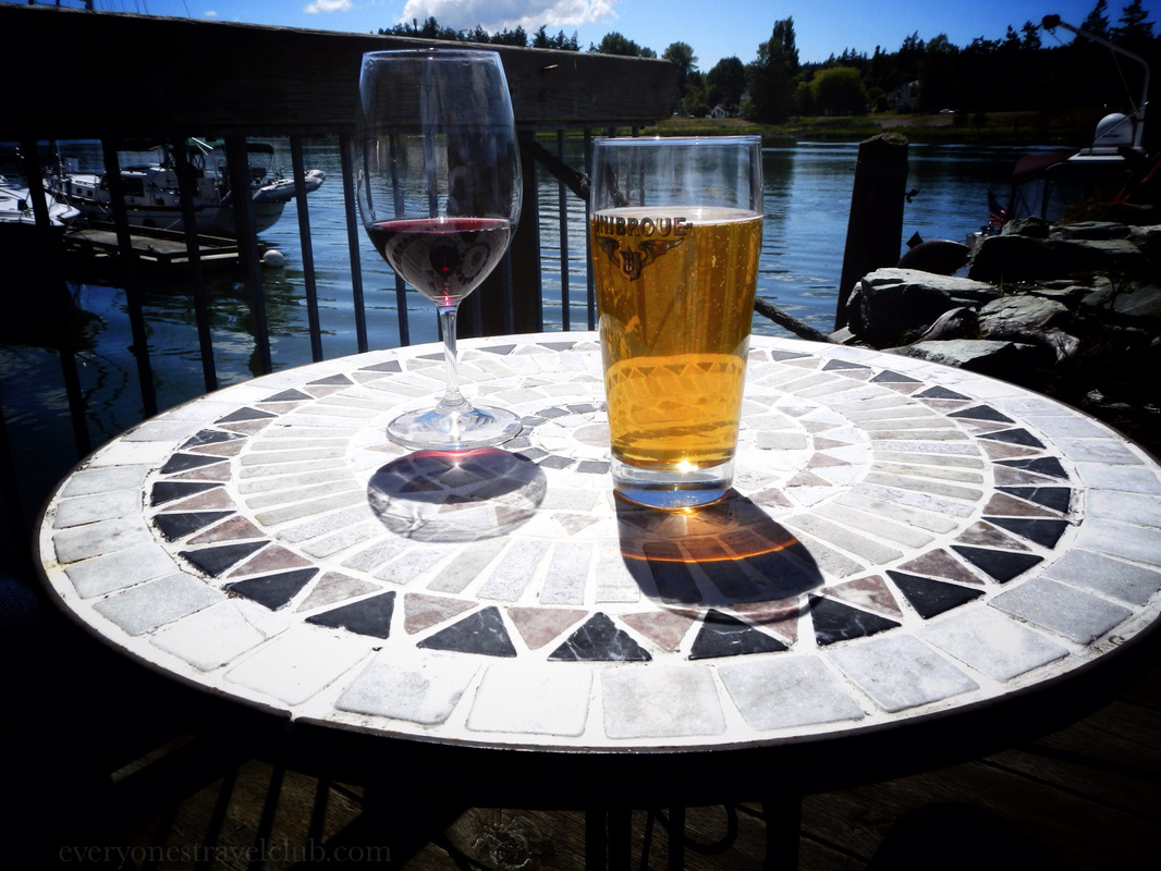
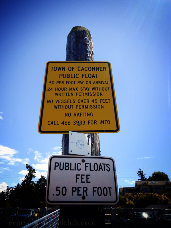
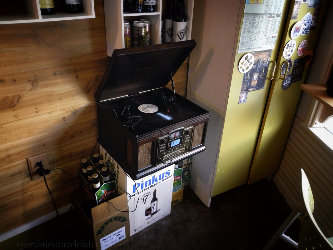
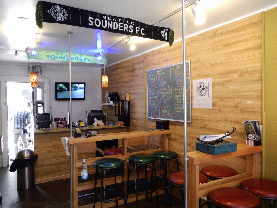
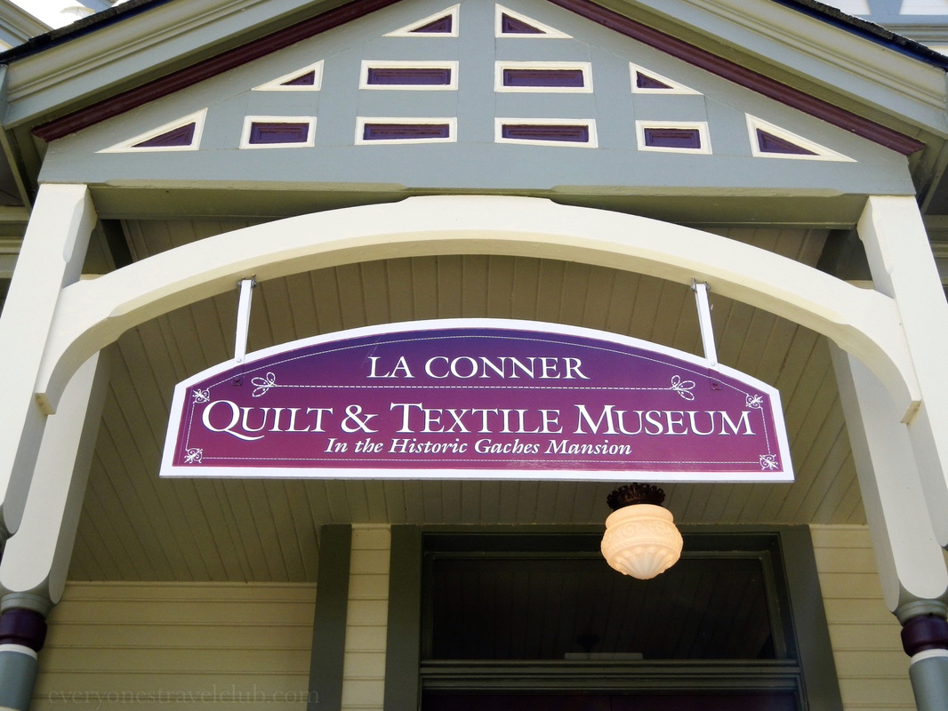
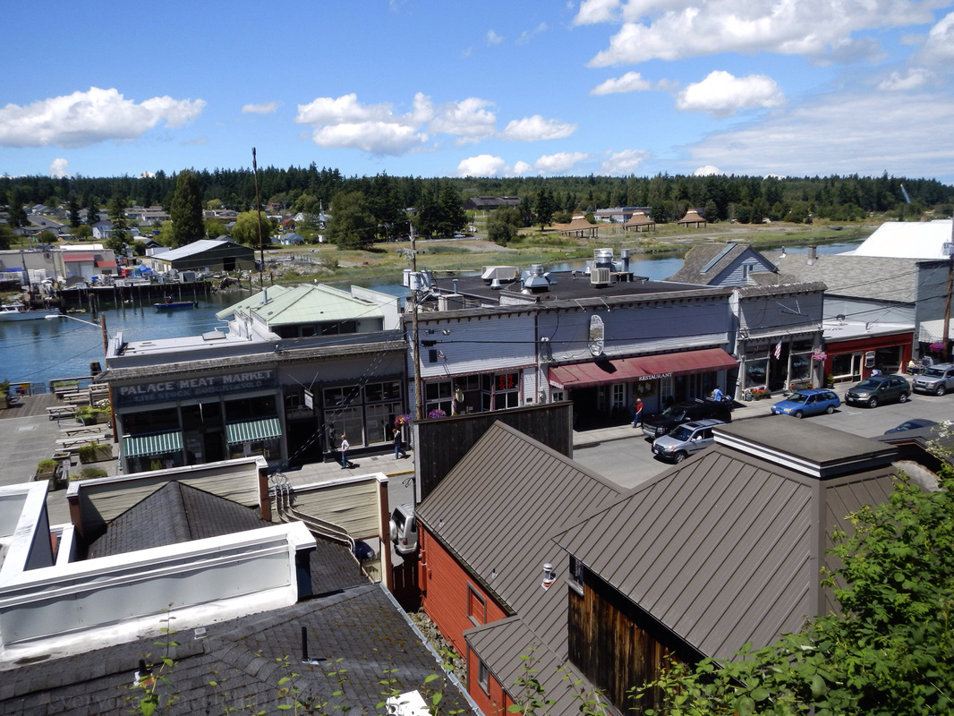
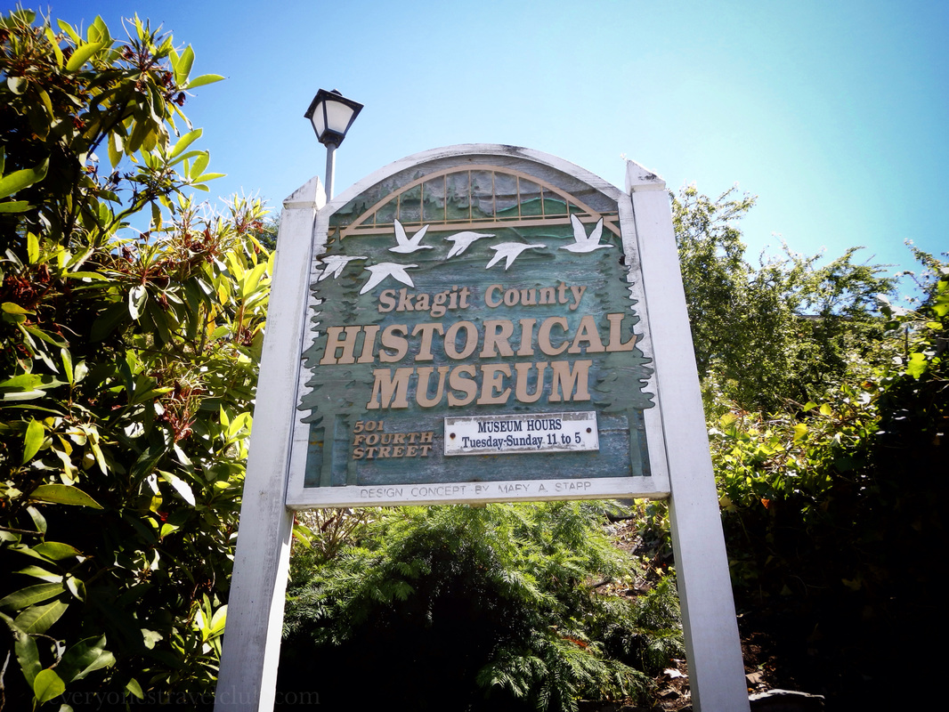
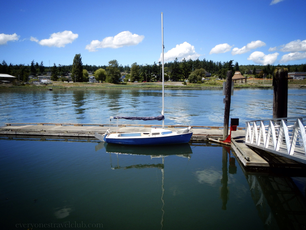
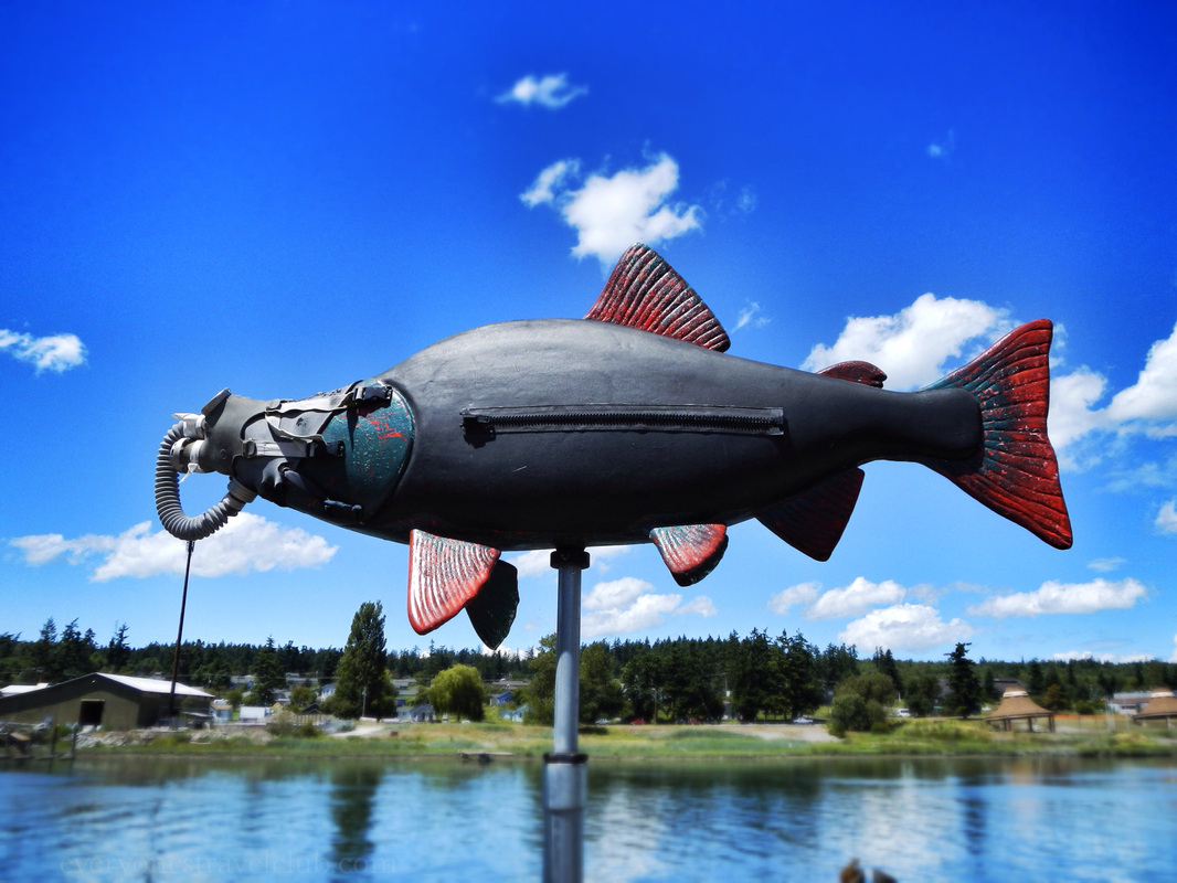
 Over the years, La Conner Washington has become one of our favorite Washington towns. Located in the 'Up & Over' and in the Skagit Valley, it's just over an hour northwest of Seattle. It's got good beer, cute shops, comfy B&Bs, galleries and museums, great restaurants, and you can even park a sailboat here - the town sits along the salty Swinomish Channel. 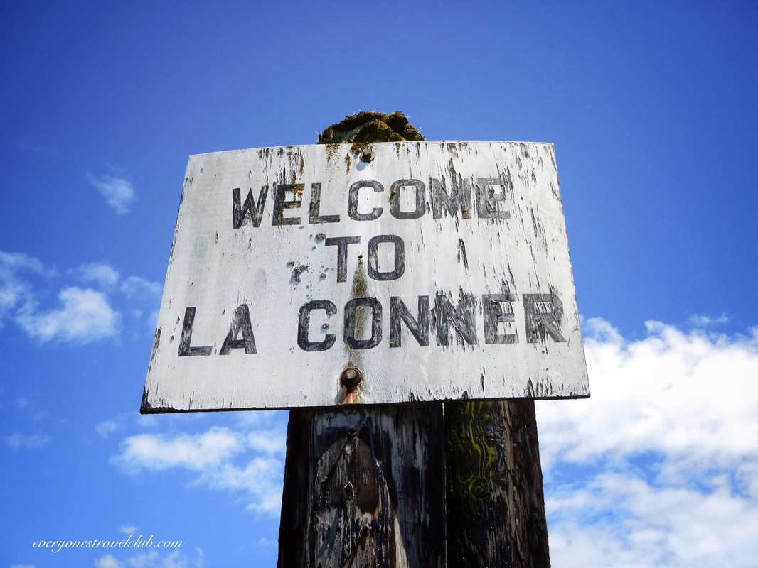 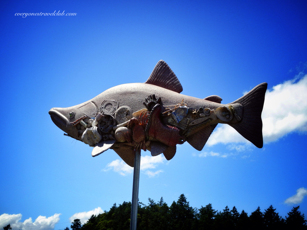 We're gonna point out a few of our favorite La Conner hotspots - some new, some more established, all great and ETC approved. Most of them we visited last summer & Fall, although, we drove through a few weeks ago to see what's new (and 'cause we love the place!). Hellam's Vineyard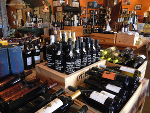 Sample some of Washington's best wines at Hellam's Vineyard, located on the main drag in the Lime Dock building. Sample, buy, & enjoy a drink outside on the waterfront patio. Great selection! Craft Ale Syndicate We were so impressed when we found the Craft Ale Syndicate in La Conner last summer. A small and friendly place, it offers local and interesting beers on tap, Bob Marley vinyl spinning in the corner, and and TV above the bar to yell at while watching some soccer. Hip is not exactly what you'd expect in La Conner, but that's what makes this place perfect. We hope it sticks around! Seeds Bistro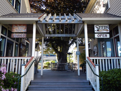 Seeds Bistro serves great local food at all meals - breakfast, lunch, and dinner. We stopped by for a quick burger and loved it. Not to mention they built their entranceway around the oldest beech tree in Washington. They care about food and serving good food to you - it shows! 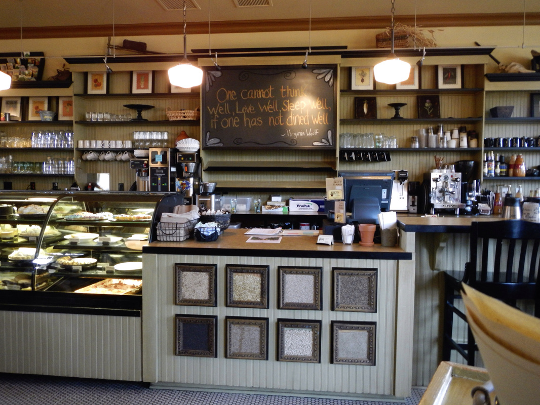 Museums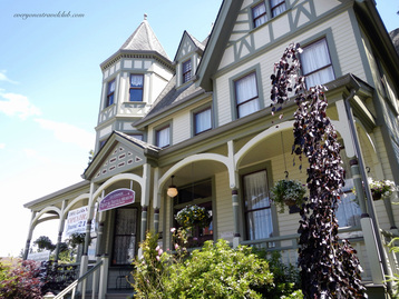 What tiny town has 3 museums? Make sure to check out at least one while you're there - The Quilt & Textile Museum, the Skagit County Historical Museum, or the Museum of Northwest Art. 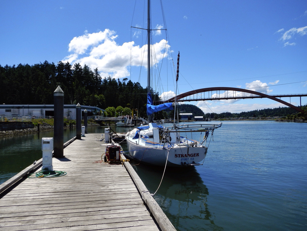 That's just the start of things to do in and around La Conner. There's the book store, the antique store, the newly located Nell Thorn restaurant…and more! Definitely worth a visit and easy to spend the day exploring rain or shine. ~Paul & Amber ETC Links: *More info about La Conner here *When we paddled the Skagit River to La Conner…without much planning;) *Paddling the Swinomish to Hole in the Wall *B&B Review in La Conner *South Fork Skagit River kayaking near La Conner
0 Comments
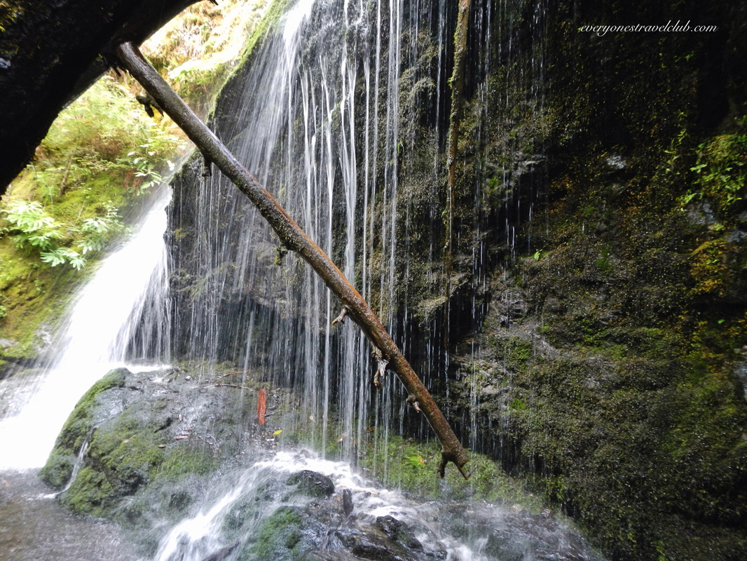
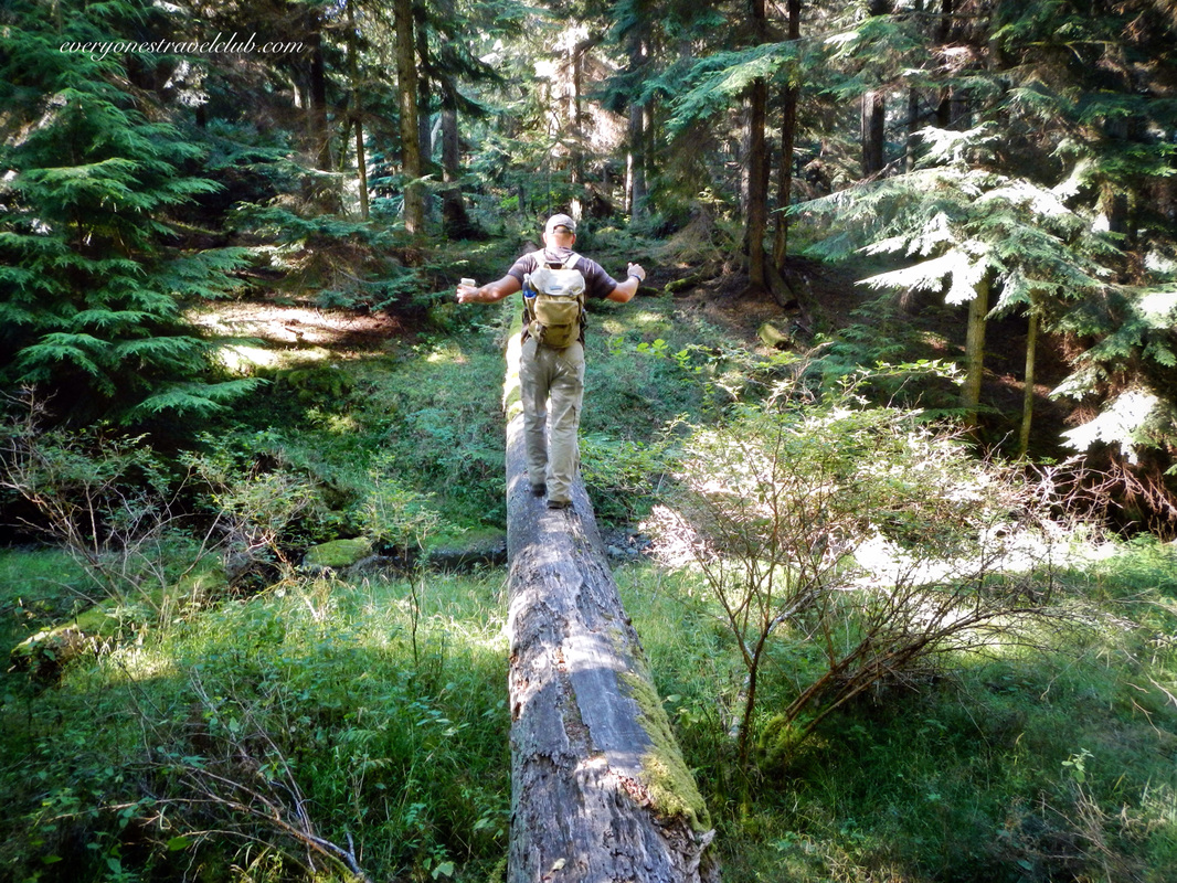
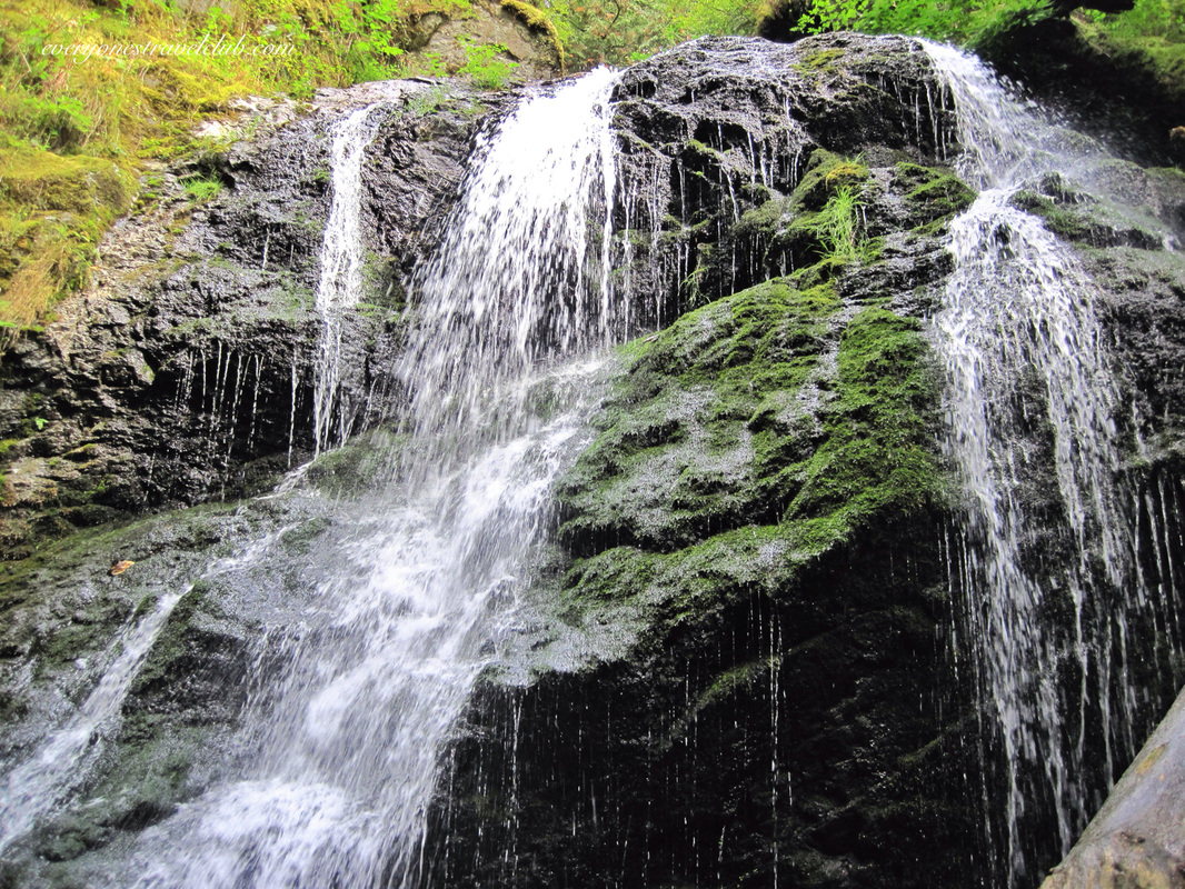
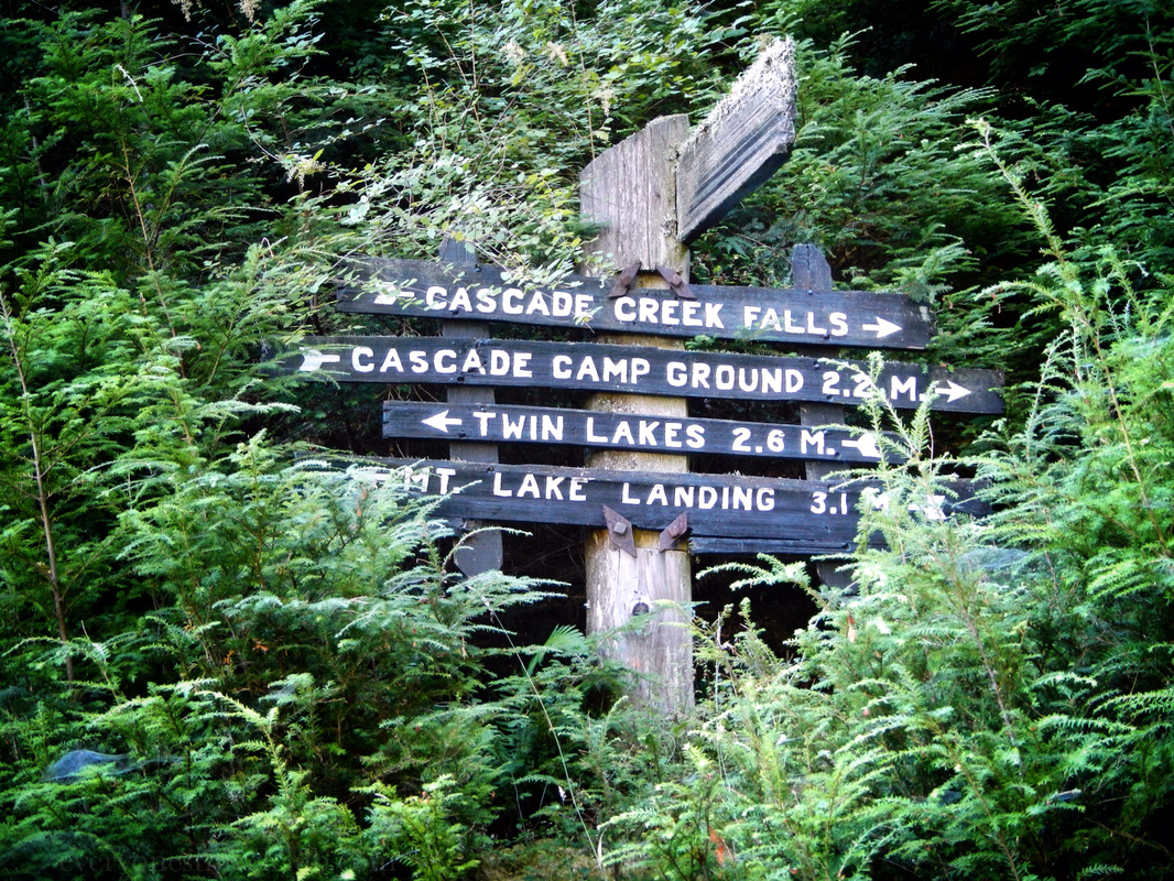
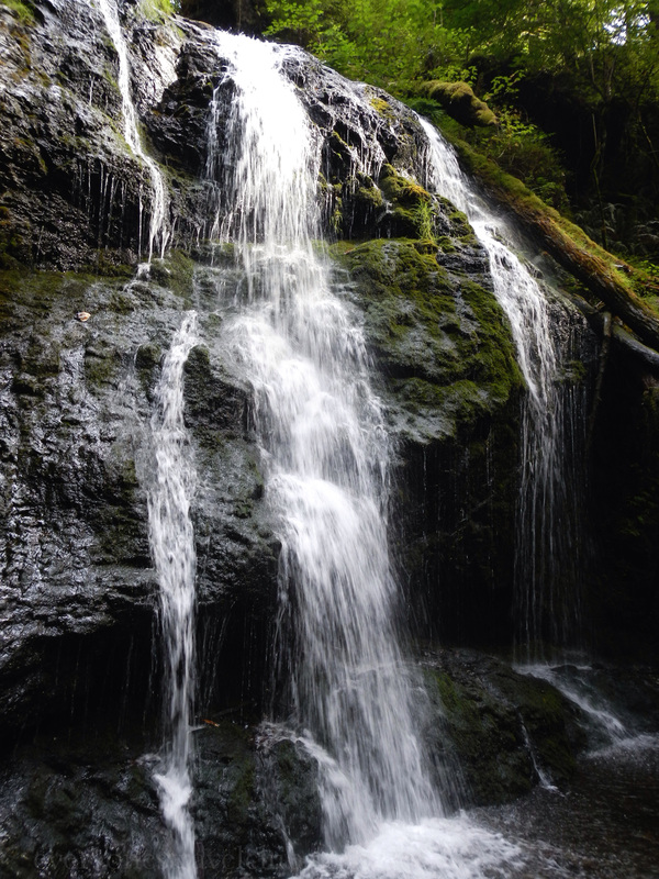
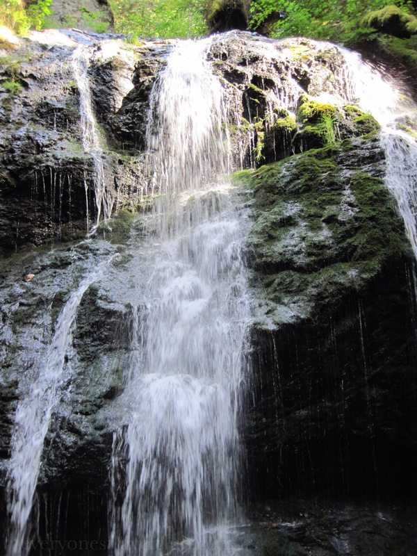
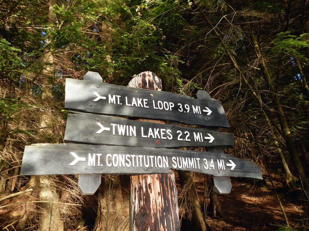
A quick little hike from Orcas Island's Mountain Lake brings you to Cascade Falls. Depending on the season, this little San Juan Island waterfall can flow. We've been there before, and always love to stop by when we're close. Roundtrip hiking to the falls from Mountain Lake took us a little about 2.5 hours. Plan for 1/2 day in the woods hiking & exploring this waterfall if you're leaving from the Mountain Lake campground like we did. It's totally worth it! ~Paul, Amber, Sis, Mom 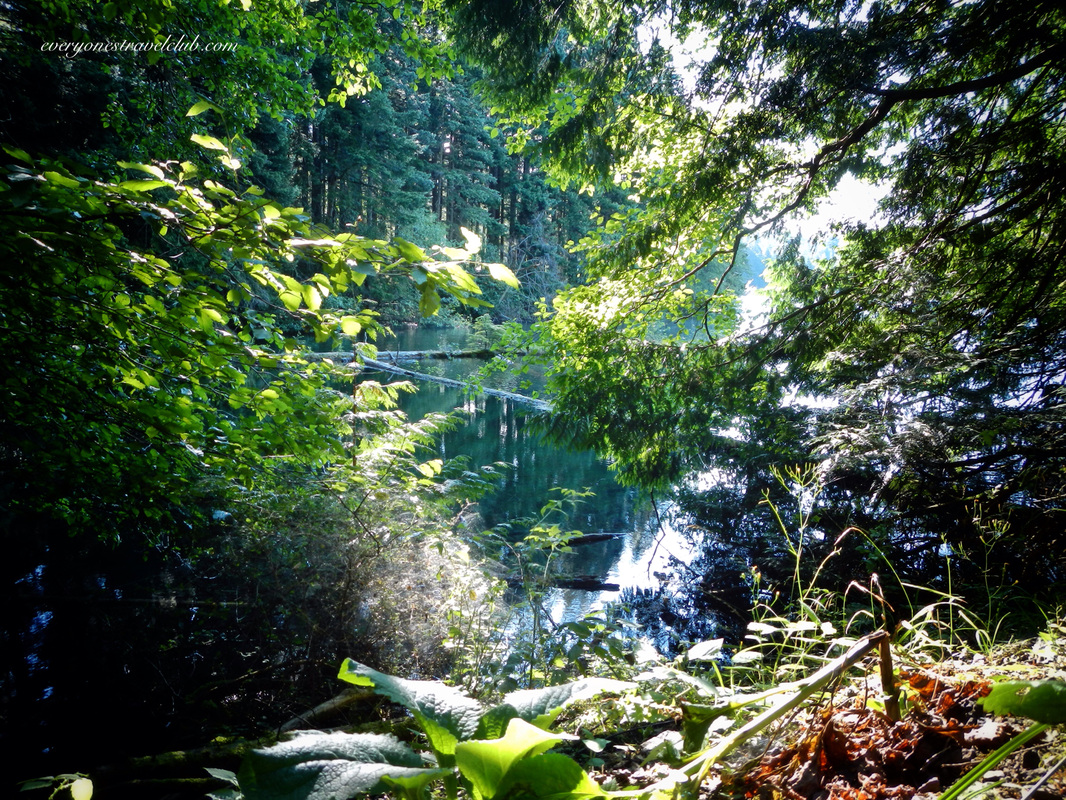
I've got to be honest, it's a little tricky to enjoy swimming in the Pacific Northwest. There's water everywhere here in Western Washington, but it's chilly. When summer comes around again this year I'll finally be ready…because I finally found a lake…a warm lake! 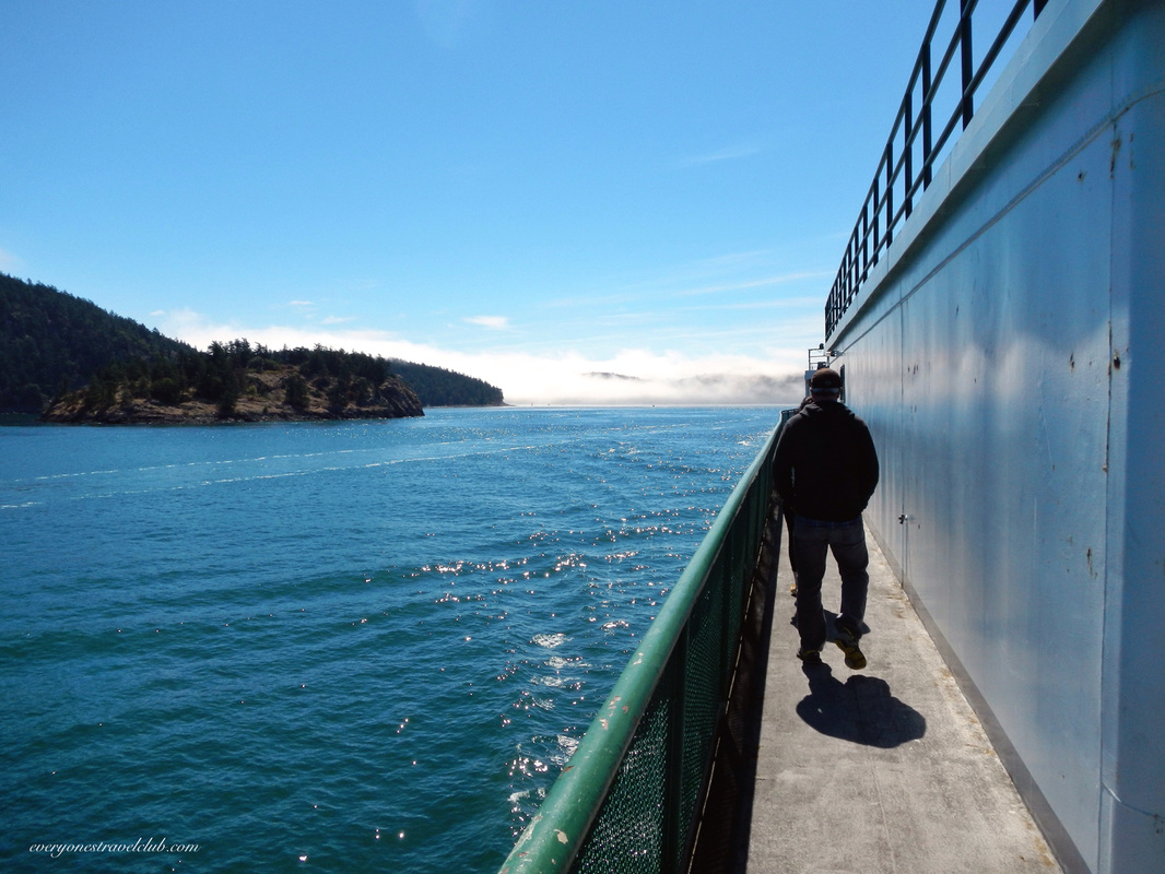
To get there…wait for summer, then catch a ferry out of Anacortes…to Orcas Island in the San Juans! 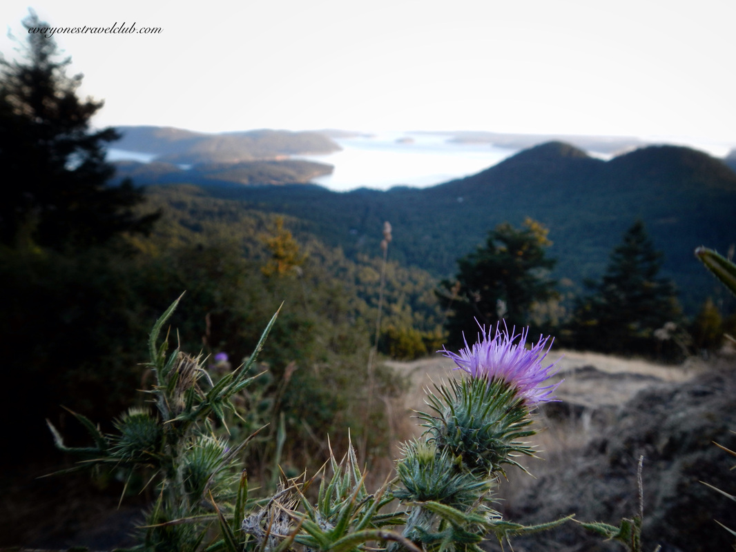
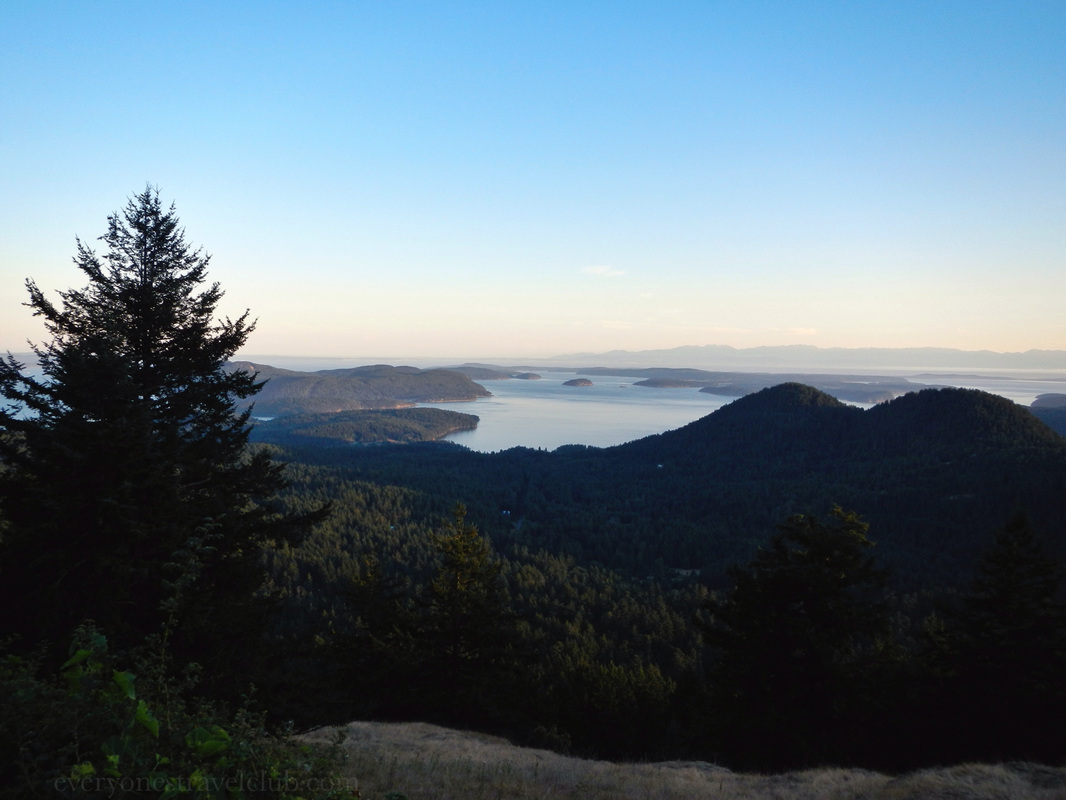
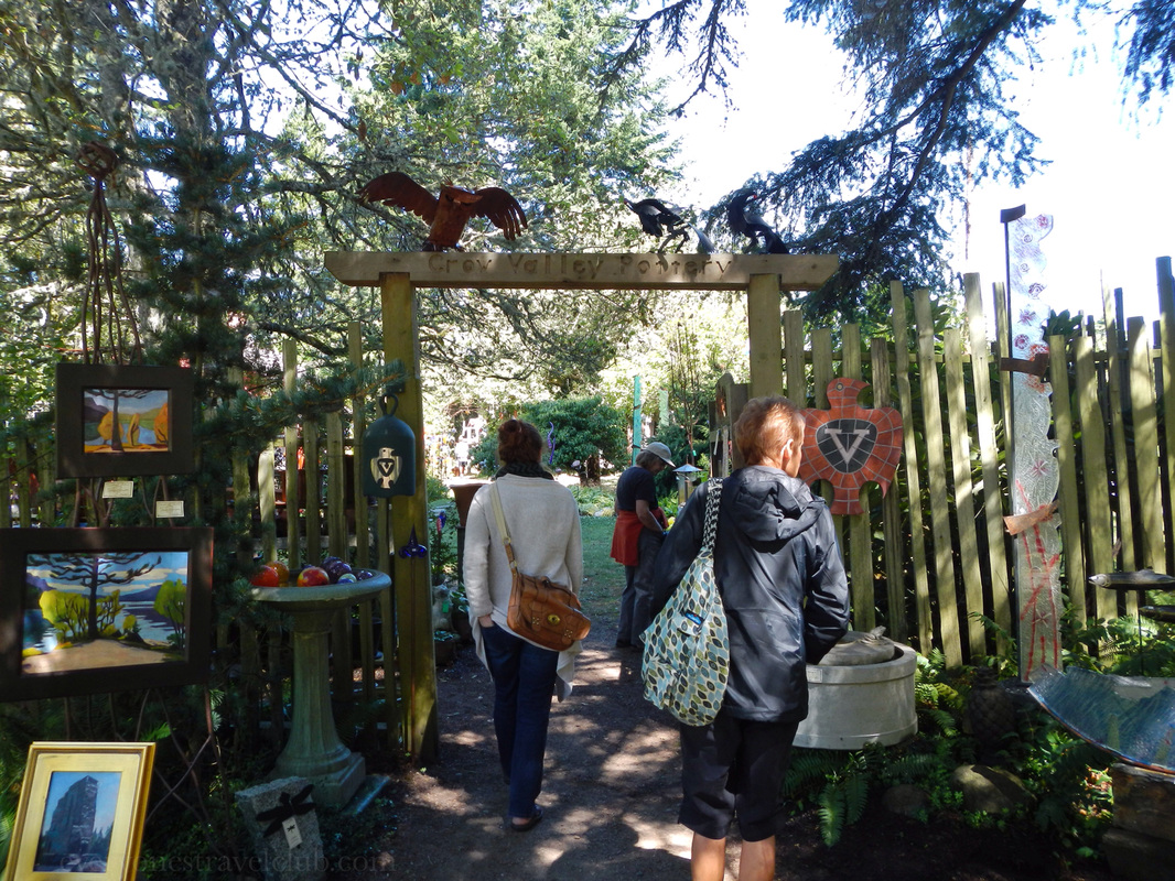
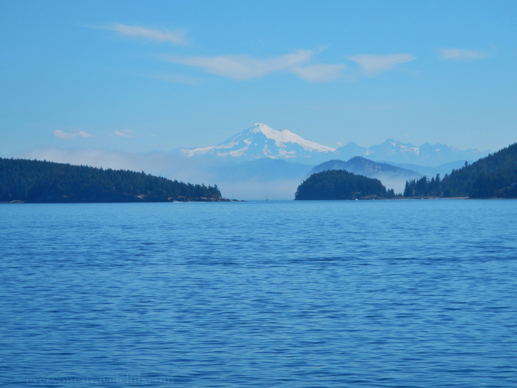
Stop at some island viewpoints and shops along the way. Above: the road up tos Mt. Constitution. Below: views of Volcano Baker and shopping at Crow Valley Pottery. 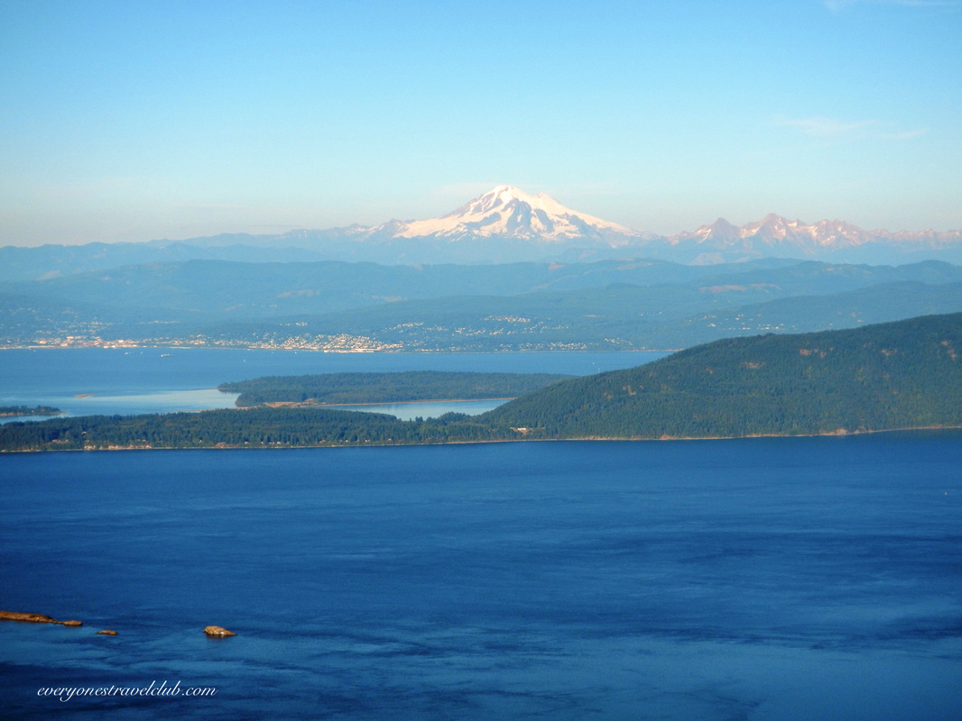
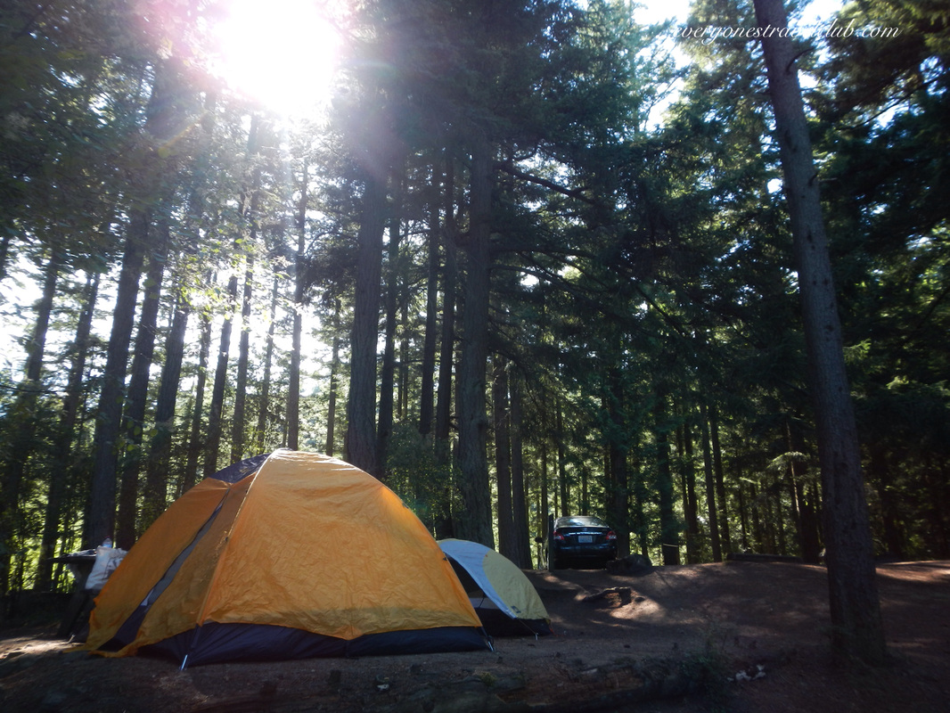
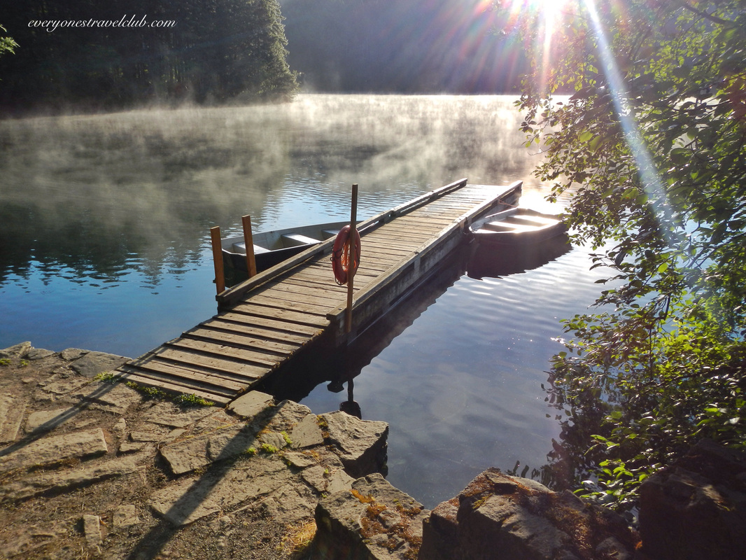
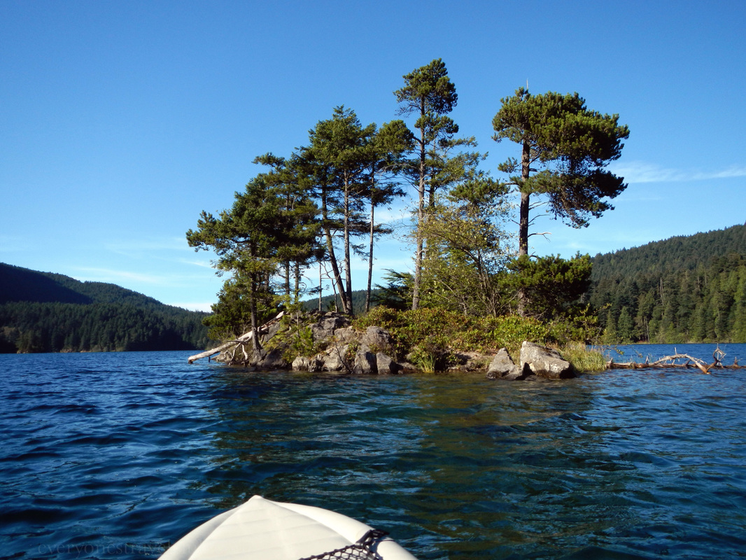
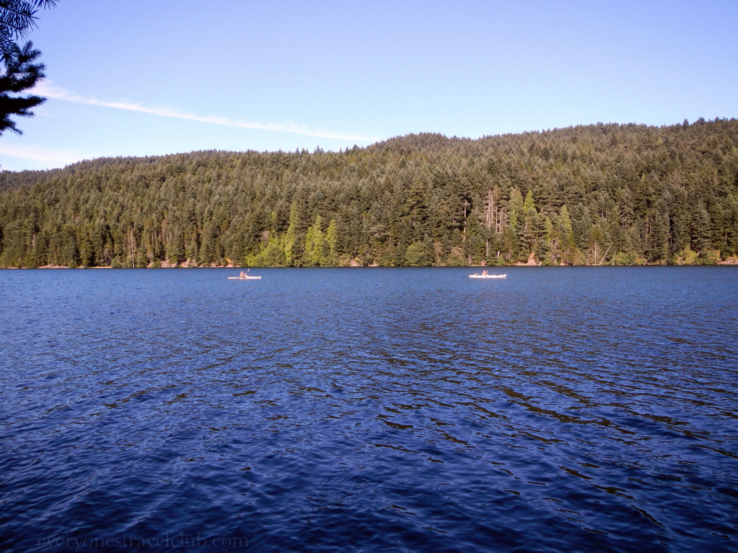
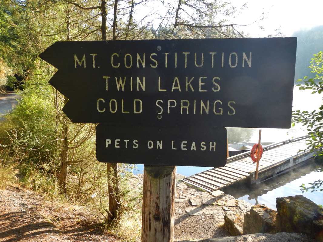
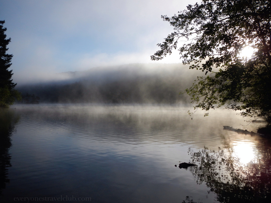
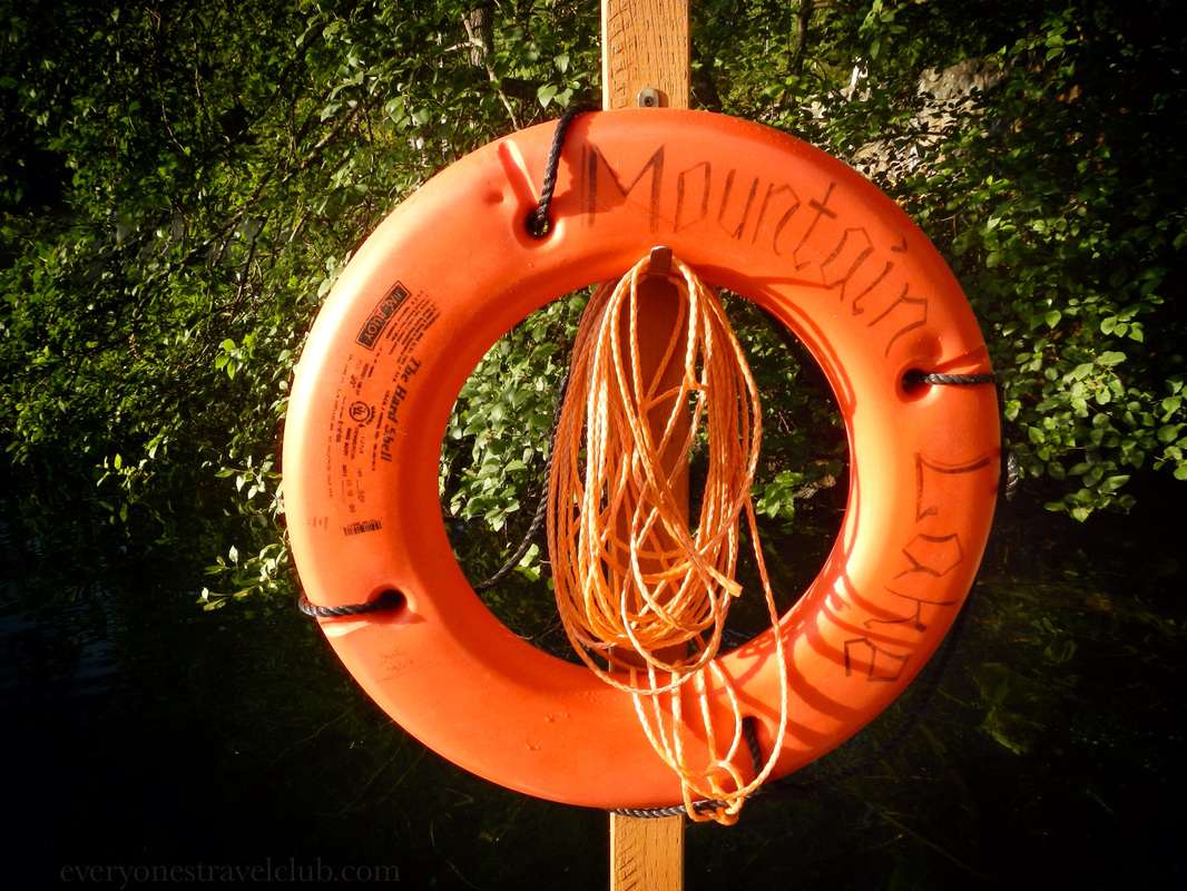
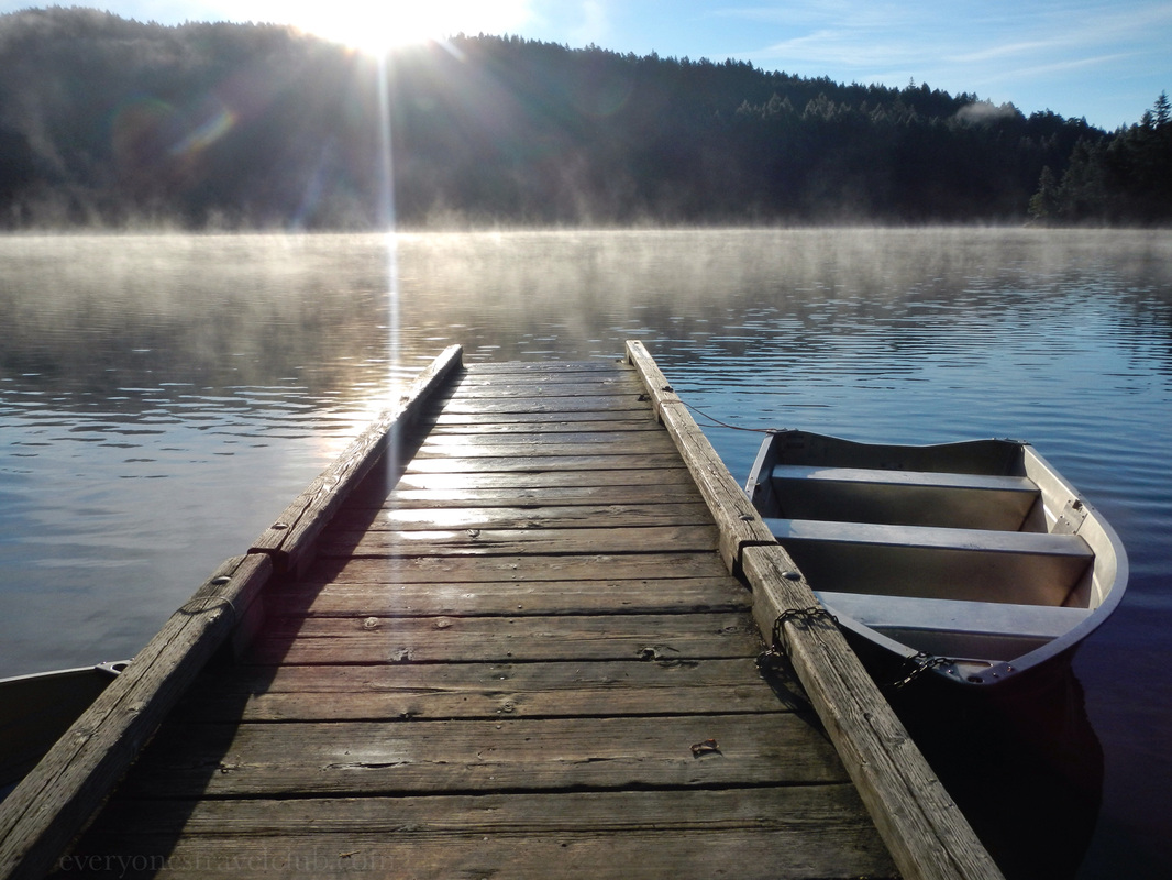
We've arrived! A little lakeside campground in Moran State Park called…Mountain Lake! 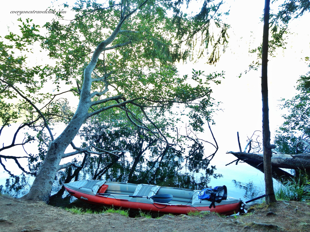
We took a few laps around the lake in our 2 person Innova kayak and had a blast. The water was surprisingly warm - much warmer than Lake Washington in Seattle (where we usually swim in the summer). 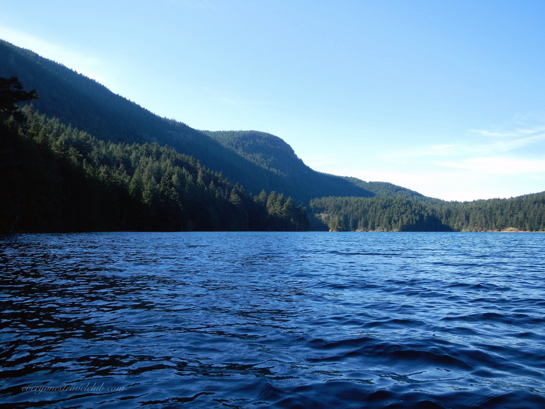
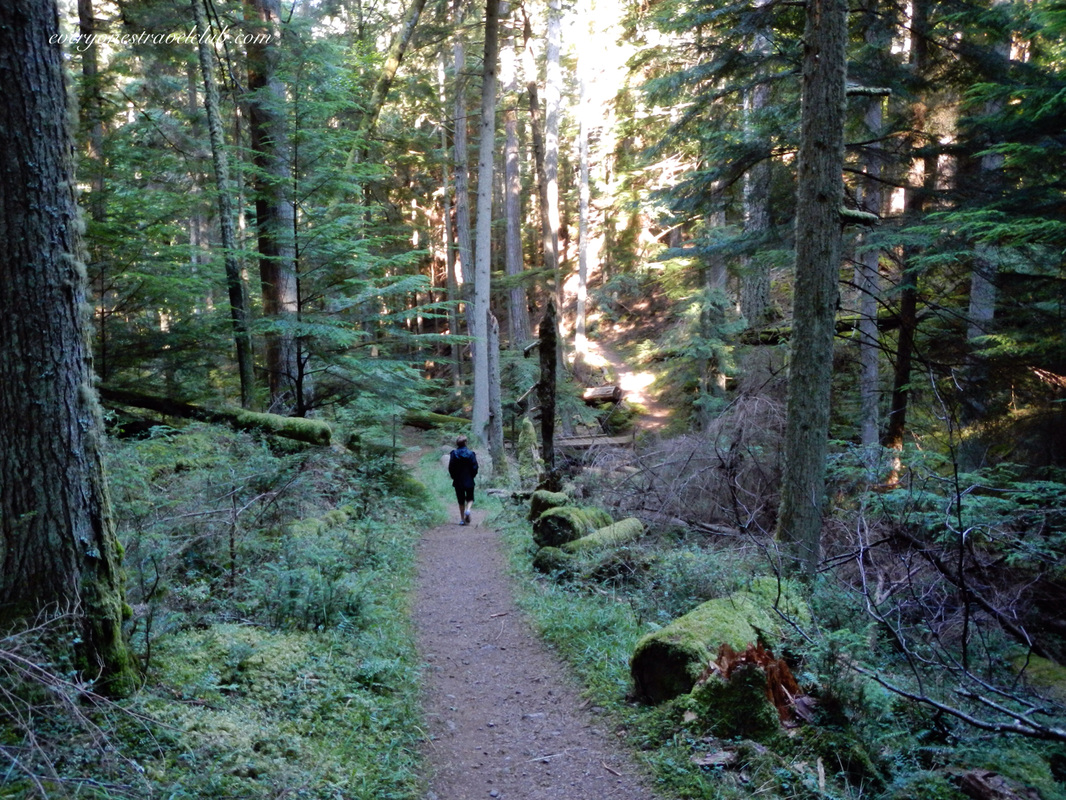
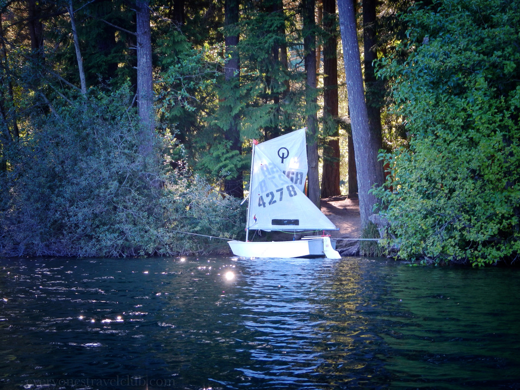
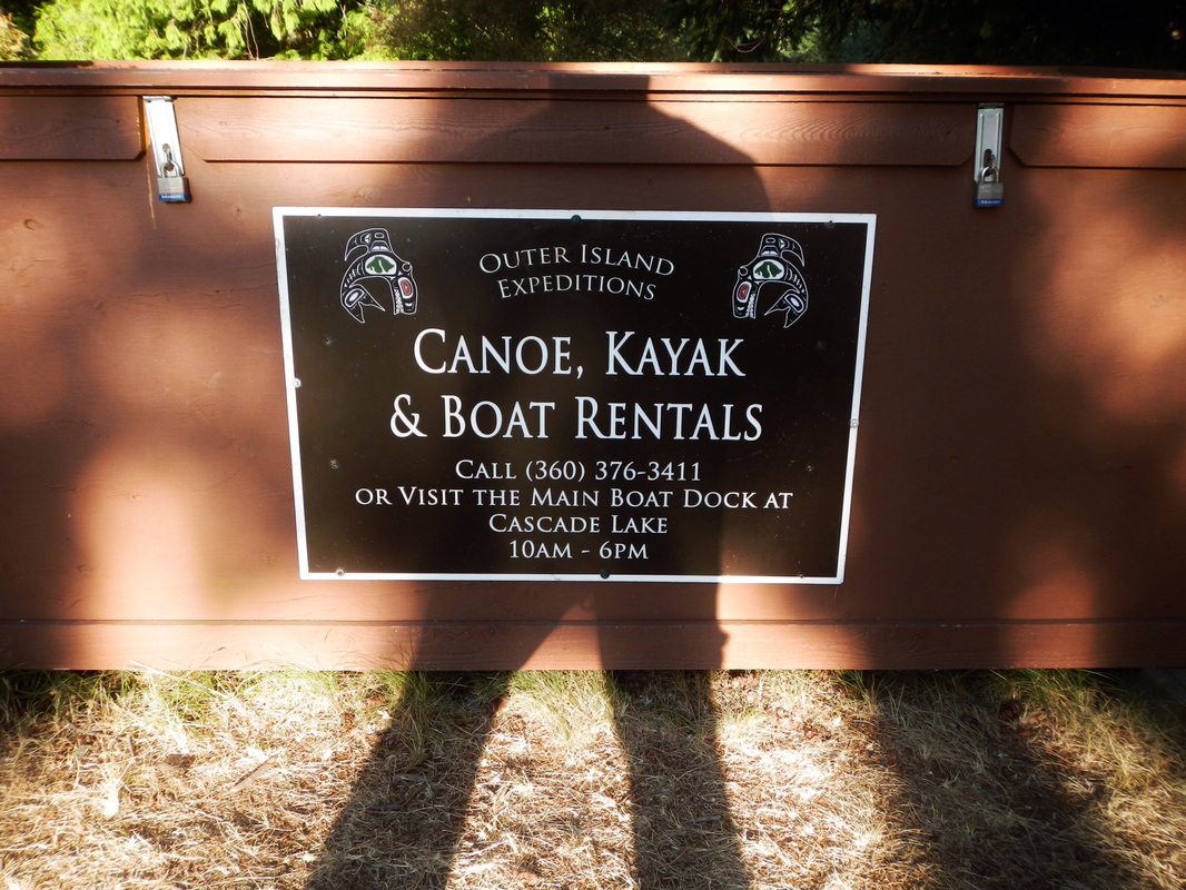
The campground has only about 10 spots with parking spaces, and a lot more for groups (not to mention sites in other parts of the park). We made a reservation online here. We didn't have that much trouble getting a reservation on a week day in the summer. There aren't showers onsite - that could be part of it (there are bathrooms & water though). More than one trail leaves Mountain Lake for lookouts, other lakes, and waterfalls (we've been to one). Canoe & kayak rentals are also available. 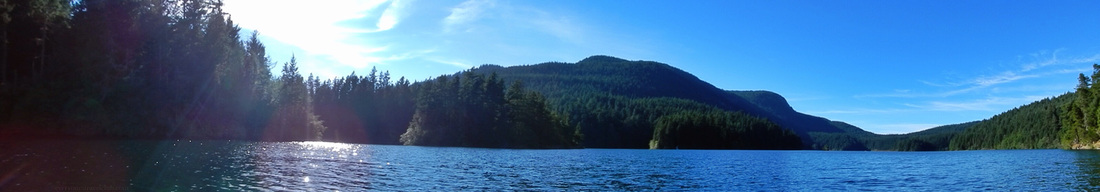
So, if you're looking for a warm summer lake to swim in, even in the chilly Pacific Northwest, be sure to book a night or two at Mountain Lake on Orcas Island! ~Paul, Amber, Mom, Sis 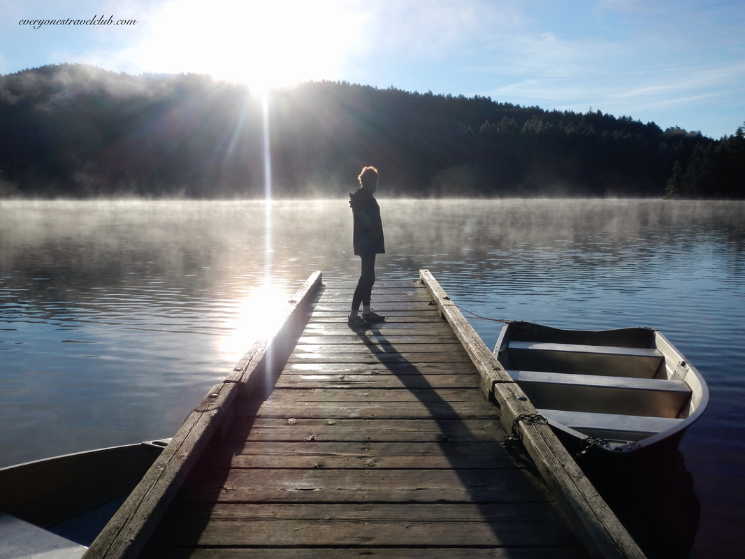
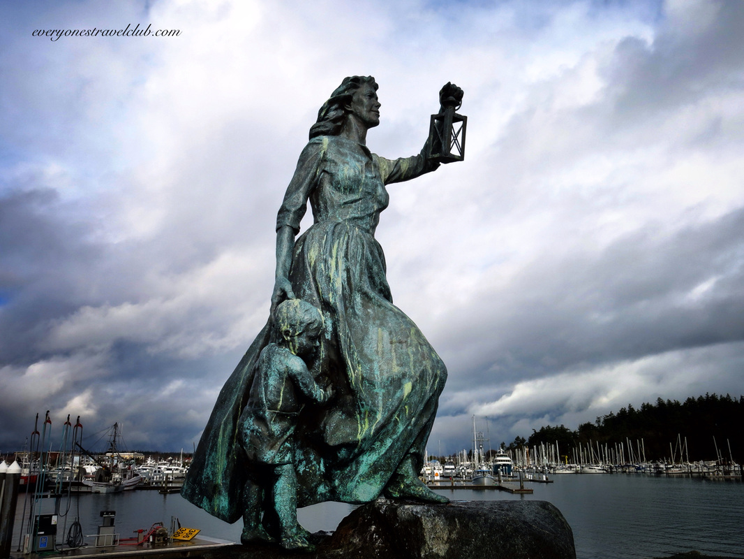
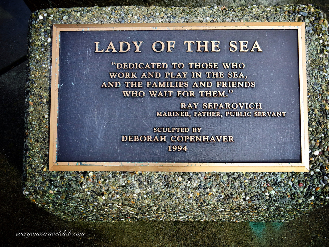
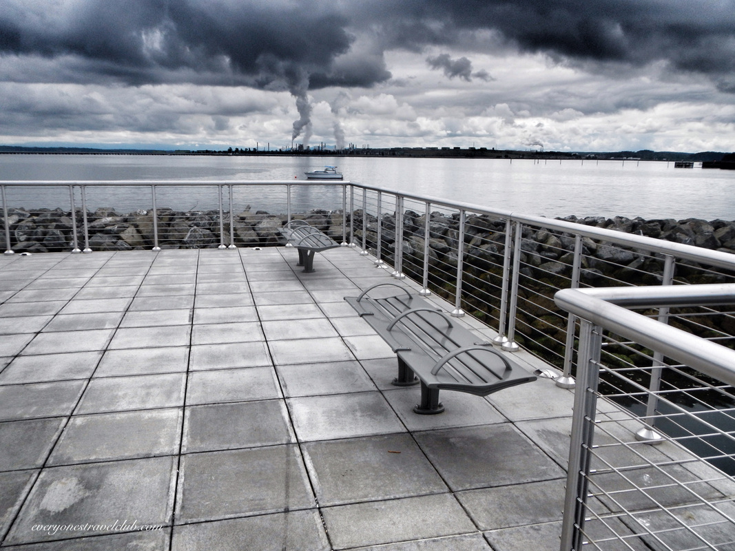
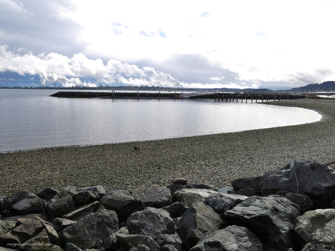
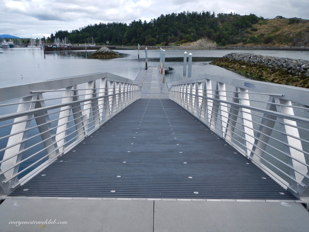
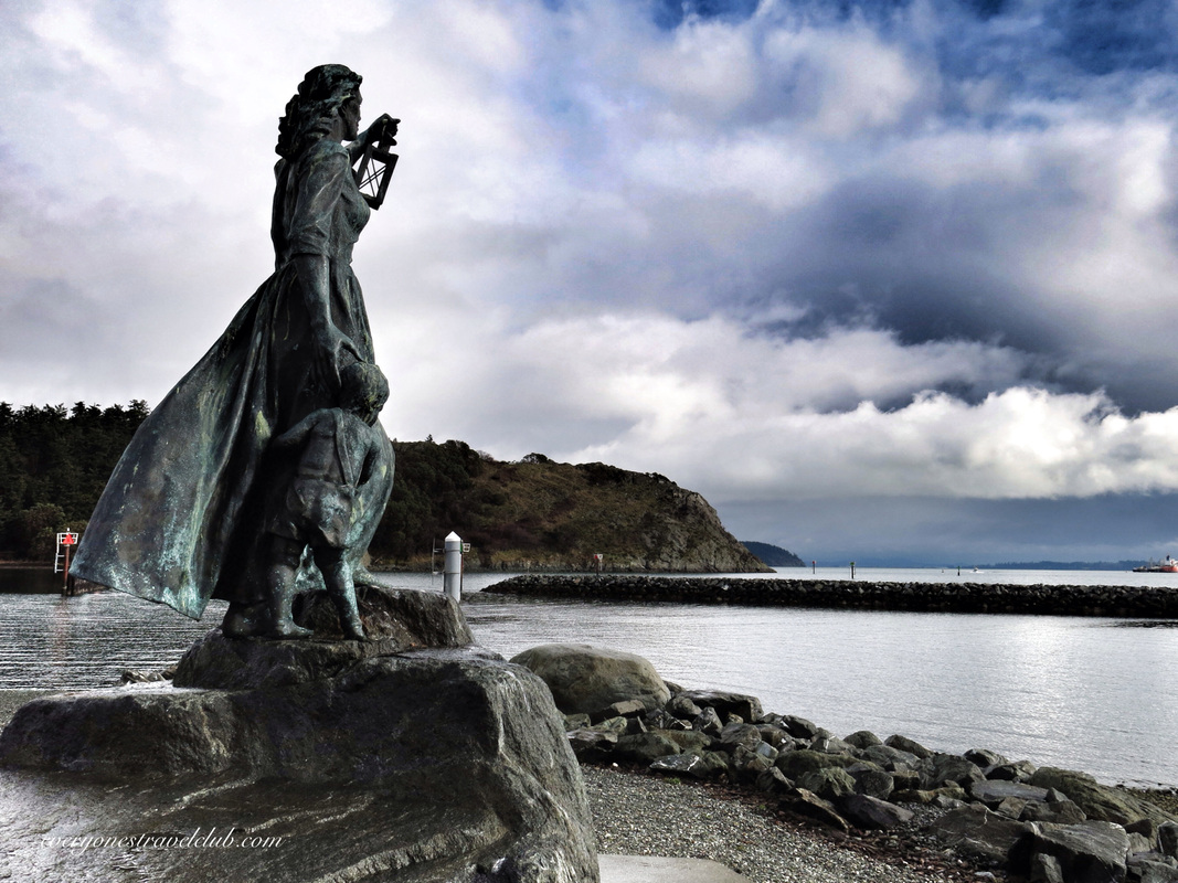
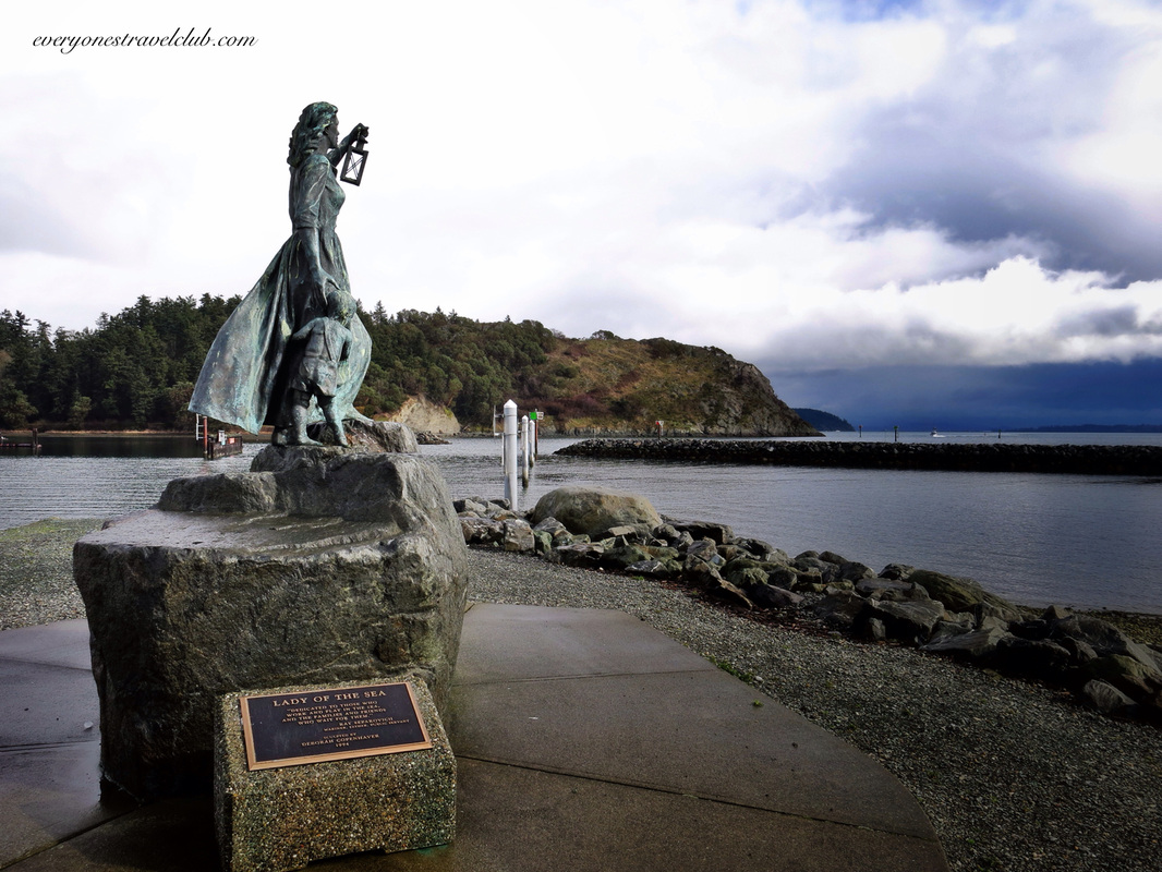
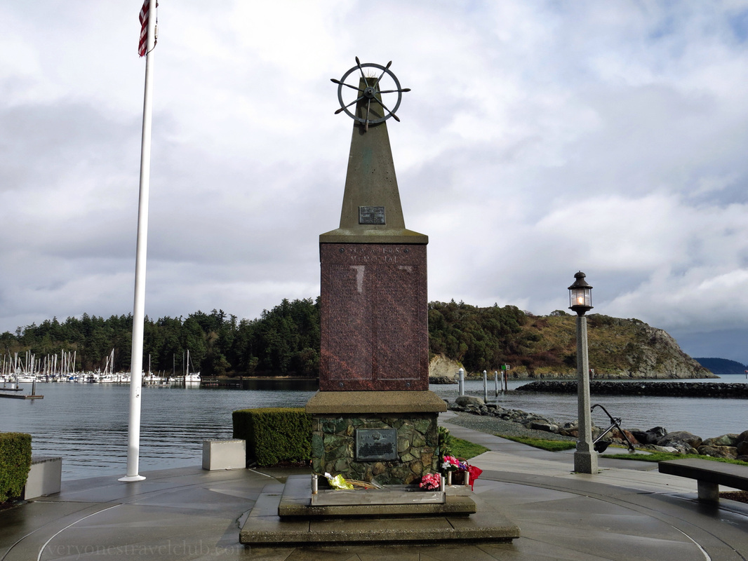
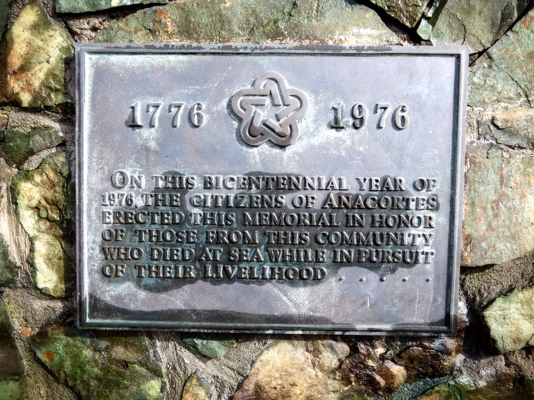
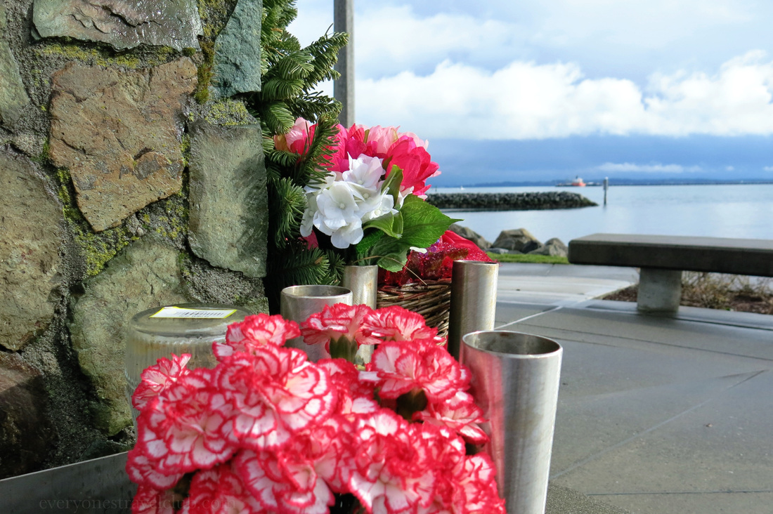
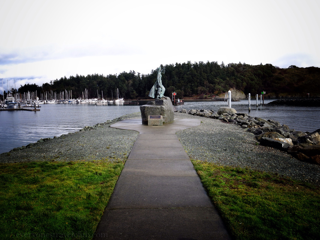
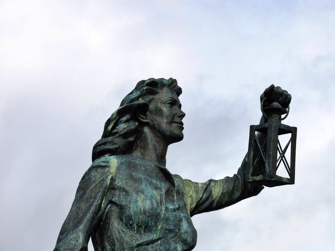
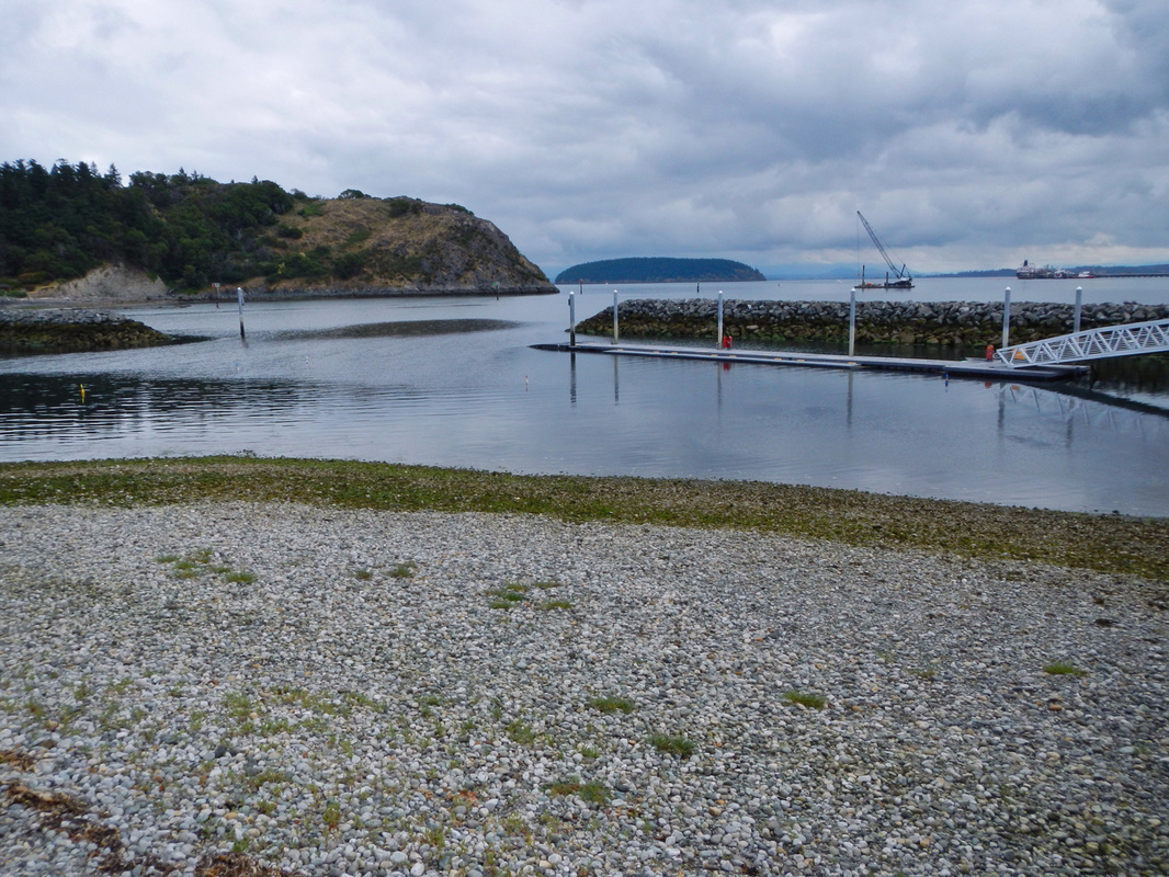
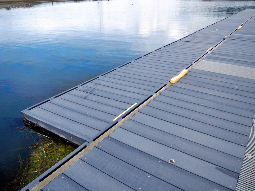
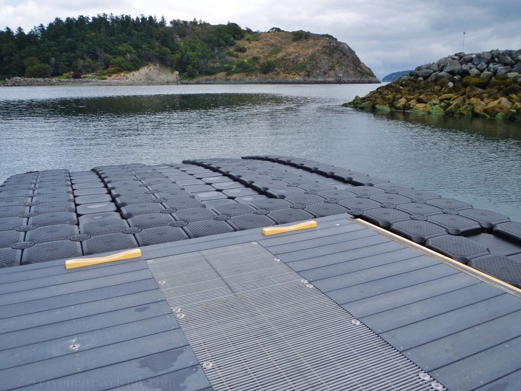
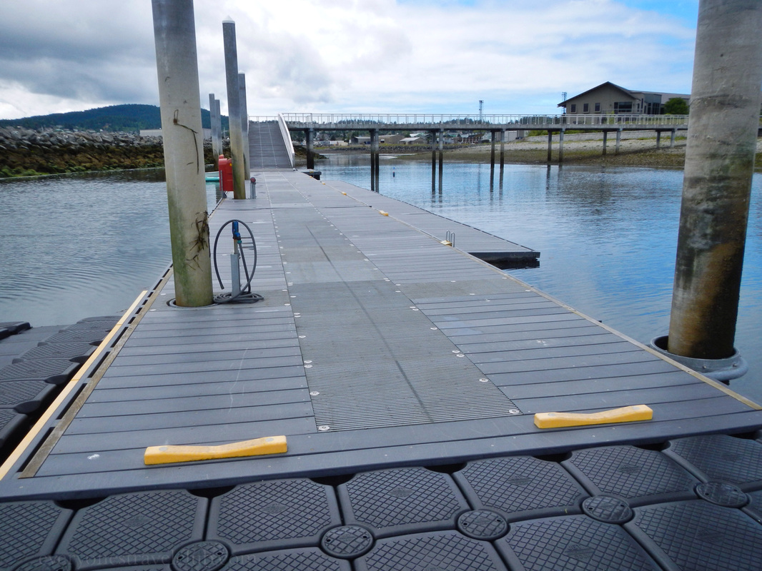
We recently spent some time in Anacortes reviewing an Inn for an upcoming 'Inns you can paddle and sail to' post and got a few good looks at the gorgeous Lady of the Sea sculpture. Located in Seafarers' Memorial Park (map), the lady and child await the safe return of their seafaring loved ones. Deborah Copenhaver sculpted the statue in 1994. The sculpture also happens to sit adjacent to a great small boat launch - perfect for kayaks. With lots of parking close by this is a great place admire the sculpture, pay your respects to the sea and those who have lost their lives to it, and get out [safely] on the water yourself! ~Paul & Amber ETC 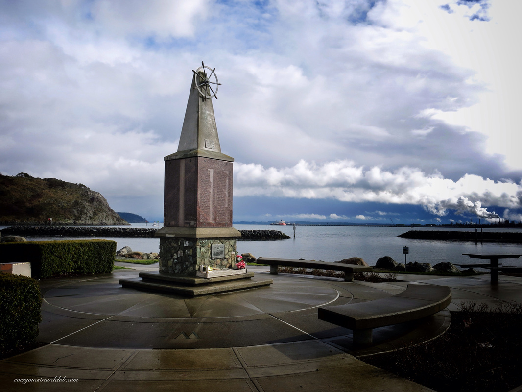
|
Follow us on Twitter and receive updates when we post (click the birdie).
 Archives
March 2014
|

 RSS Feed

|
Connect:Contact: |
everyonestravelclub@gmail.com |