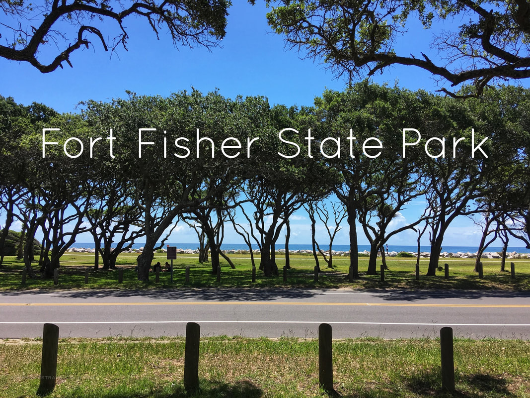
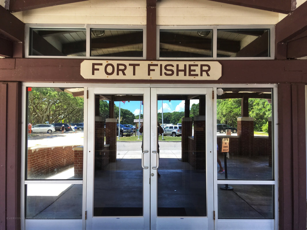
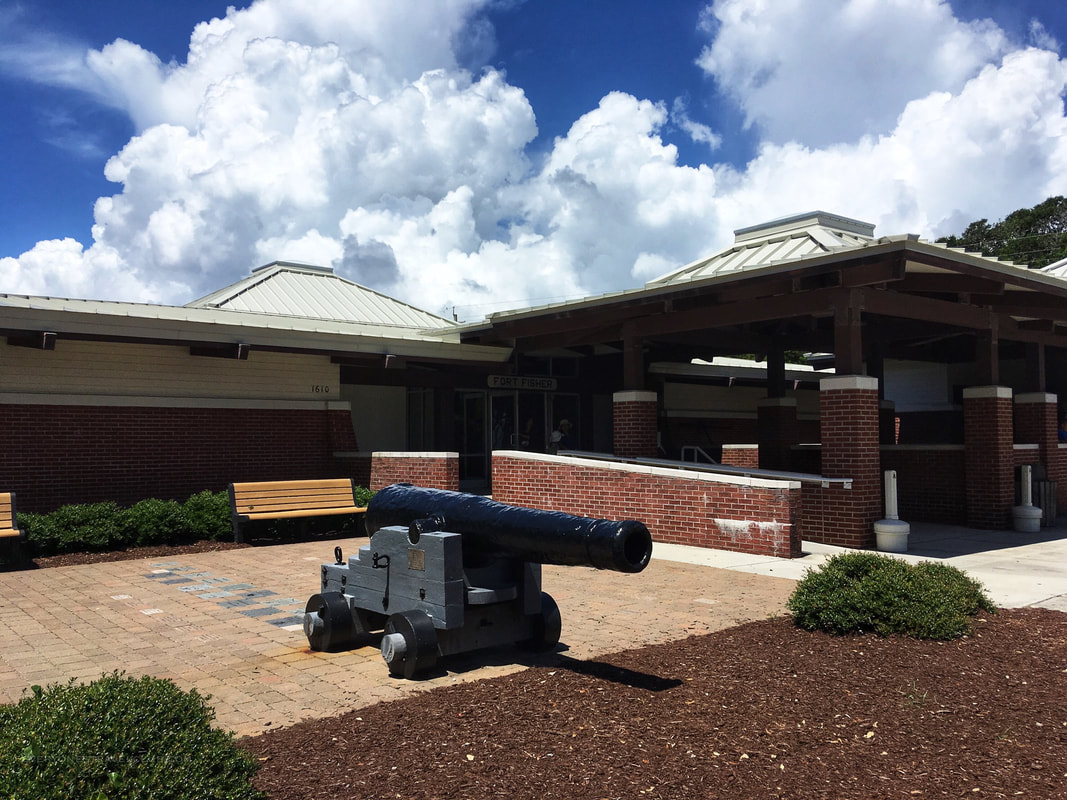
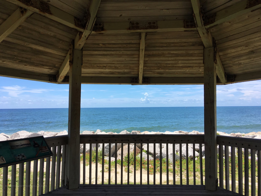
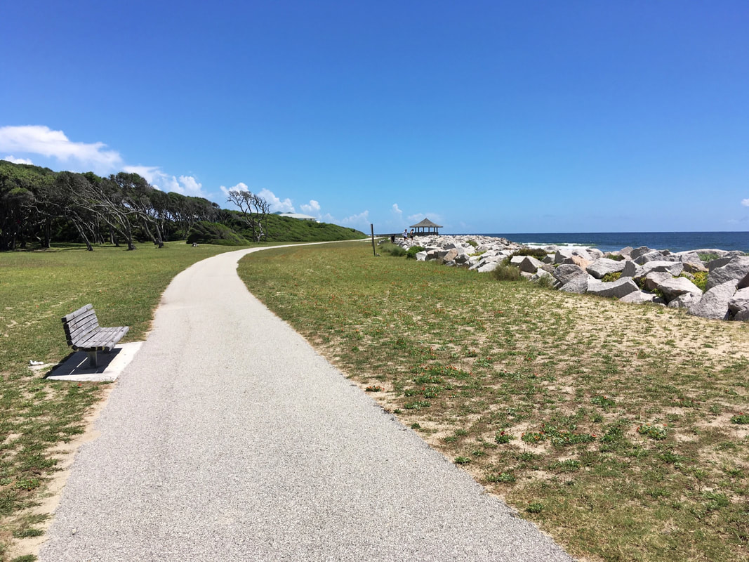
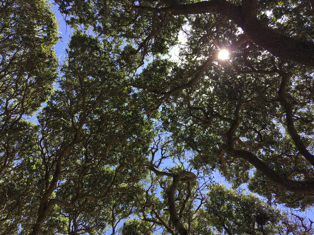
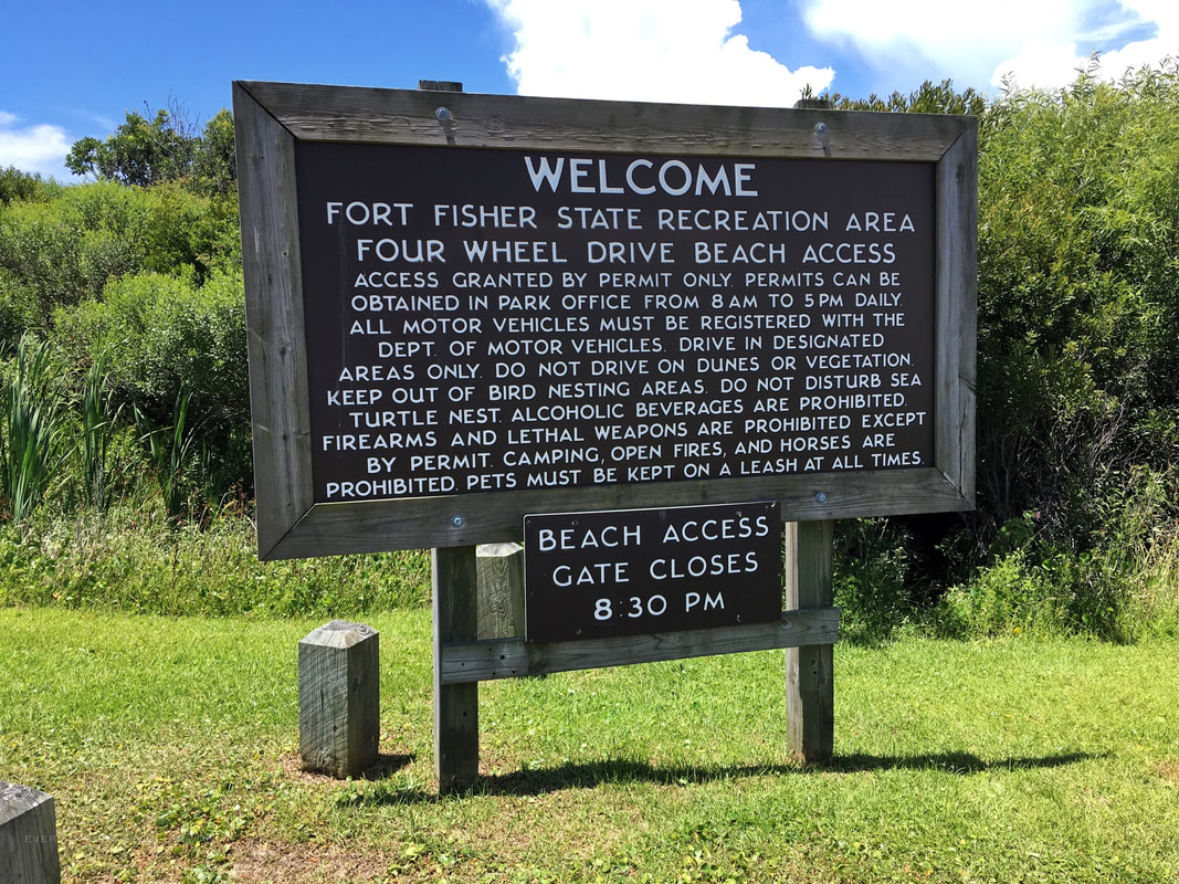
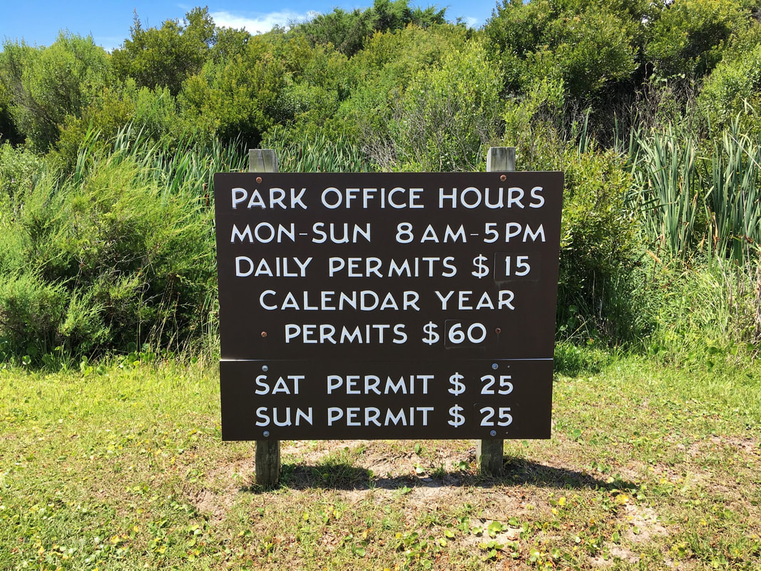
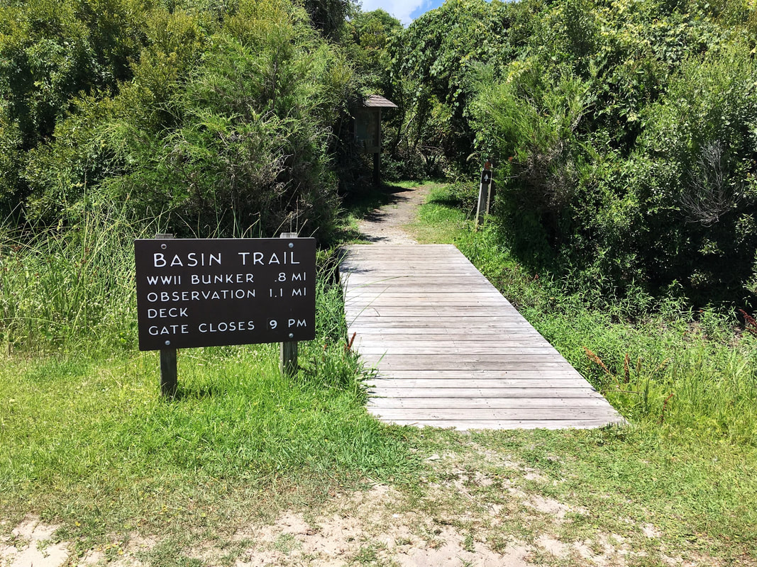
 As we keep adventuring around where we live, our exploration bubble keeps getting bigger. We've been to most hiking and paddling spots close to home so now we spread out a bit. That took us to Fort Fisher State Park and recreation area in Kure Beach, North Carolina. 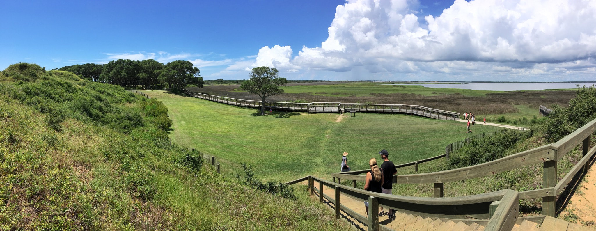 The park consists of a historical center, short trails around bunkers and restored fence line, longer trails through a gorgeous salt marsh, a beautiful beach, a boat launch, and a (permit required) 4x4 all year round beach driving section. Here's a map of the park. 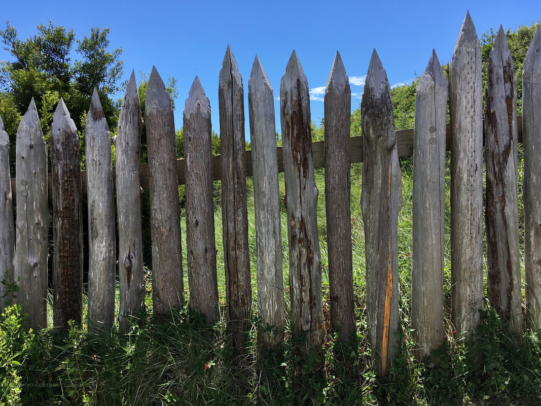 During the Civil War, Fort Fisher allowed the port of Wilmington to stay open to runners supplying goods to the confederacy upriver. This was an important, and one of the last, lifelines to Robert E. Lee (in Virginia at the time). It was cut off when the federalists attacked and took the fort in 1865. Once the fort was in the North's hands it was only a matter of time until the confederacy fell. 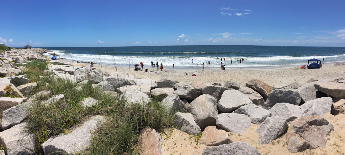 Can you spend a day here? For sure. A few things about our trip. We came from out of town which meant quite a drive through busy Wilmington and onto Carolina Beach (city traffic followed by tourist traffic). Once you get out to the Fort it's a great idea to bring a lunch and a cooler. Eating under the live oaks by the beach would be perfect. Even more perfect would be purchasing a daily 4x4 pass and taking to the beach via off-road vehicle (see the 4x4 beach entry pictures below). Other options include aquatic exploration from the boat launch, hiking the Basin Trail, or checking out the aquarium at the end of the island. 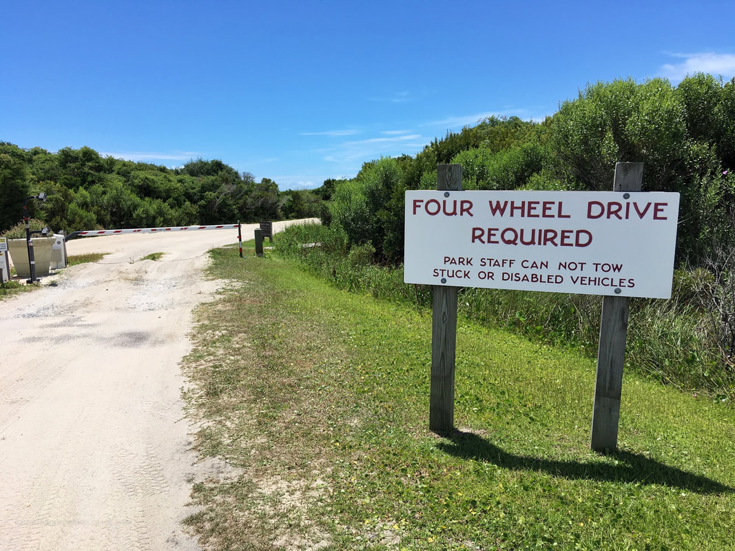 We loved it here. On our next trip we might look to stay a night close to the park to cut down on the Wilmington-traffic-driving, but what a picturesque beach and recreation area. Check it out! ~Paul & Amber everyonestravelclub.com (Link to the official NC parks website for Fort Fisher) 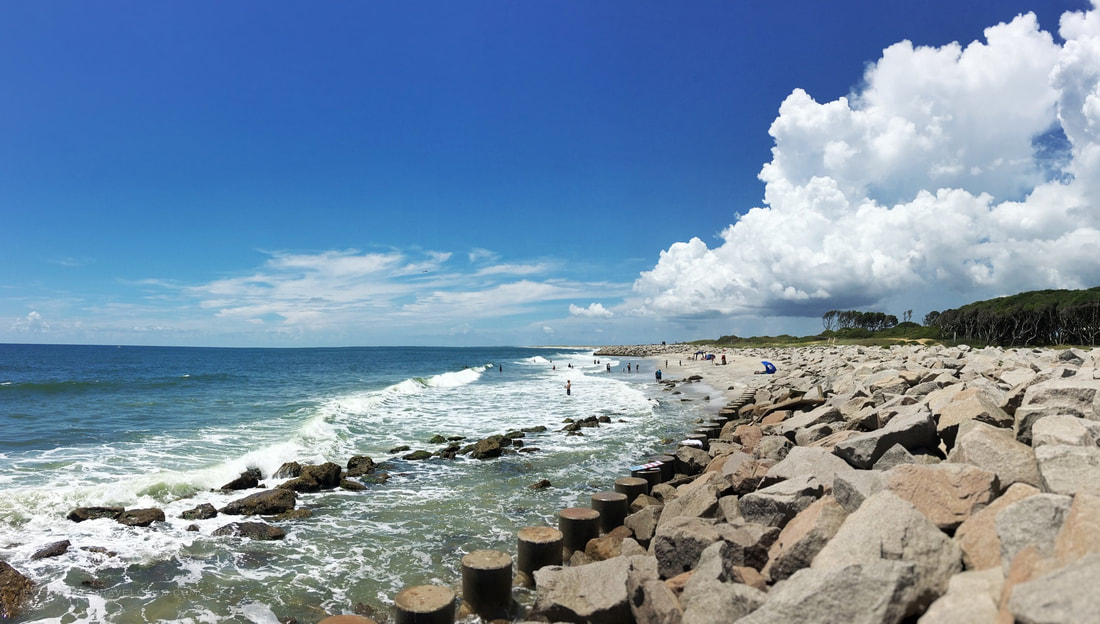
5 Comments

Even though summer is in full swing here in Eastern North Carolina, it's not a bad idea to start thinking about some great off season hikes. When that pumpkin-spice aroma starts flowing and the first frost finally sends the mosquitoes into hibernation, it's nice to get back into the forest.
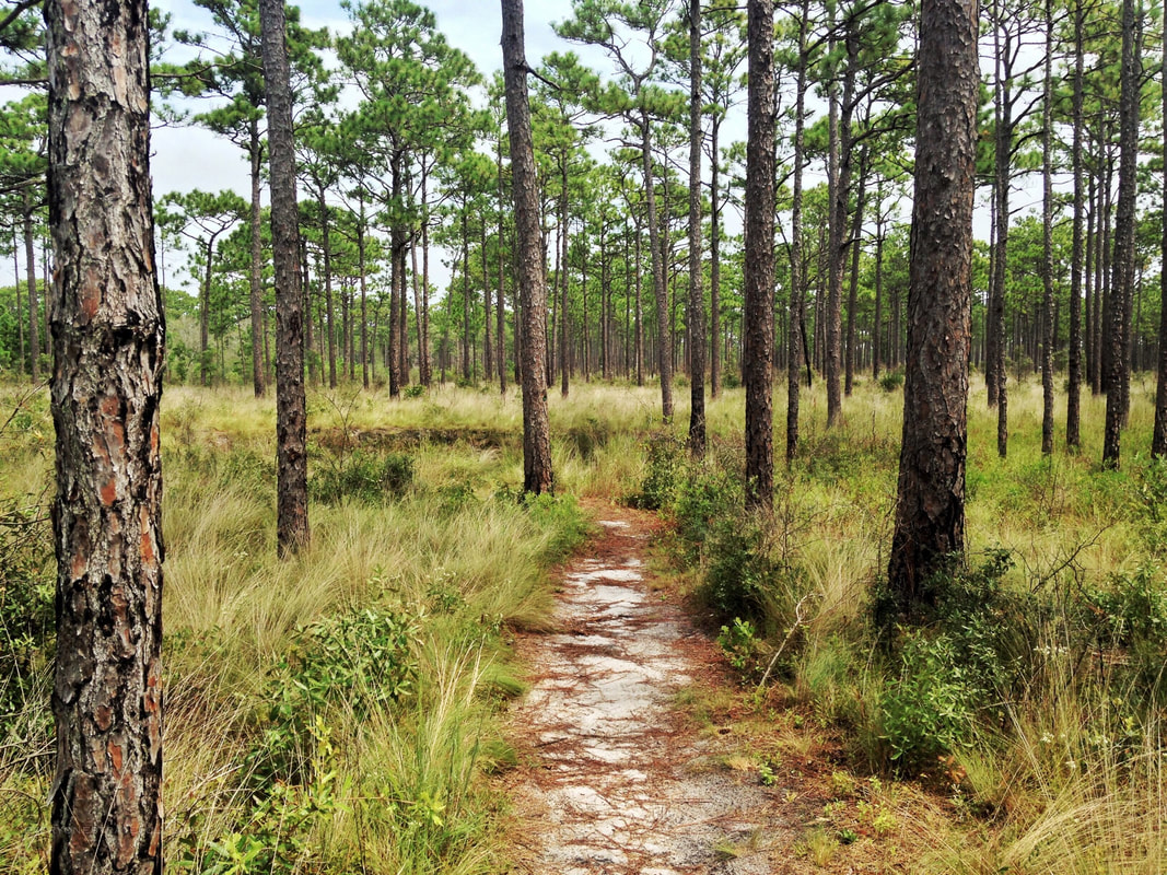
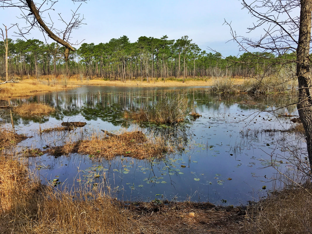
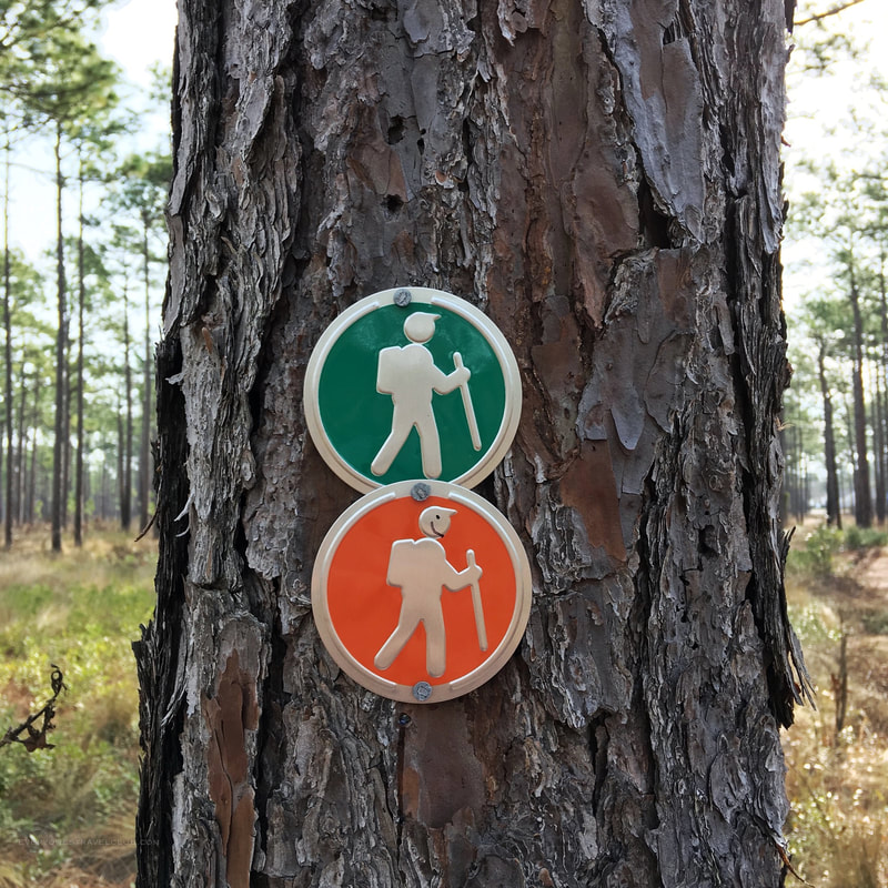
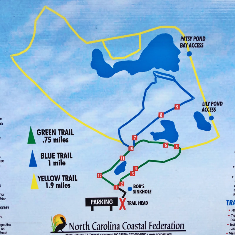
A great quick hike with easy access to the main highway (highway 24 in this case) is the Patsy Pond Nature Trail in Carteret County. Located near the NC Coastal Federation headquarters, this trail has 3 loop routes through a longleaf pine forest and around some small ponds (Patsy Pond is the largest). It's flat and the trail is well marked.
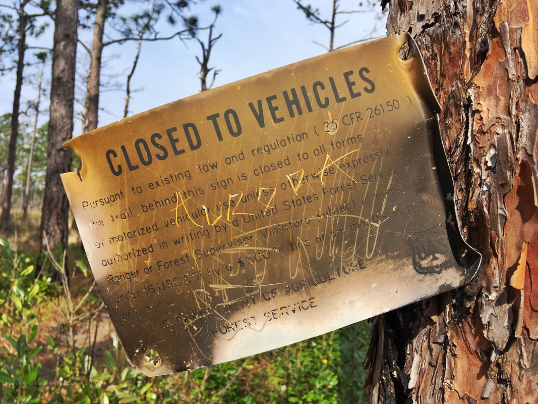
These photos are from hiking the trail in March. As I write this (in early July), the NFS has just completed a controlled burn in the Patsy Pond area - so if you head out to the trail now bring bug spray and expect some charred landscape (I think it looks kinda cool after a burn).
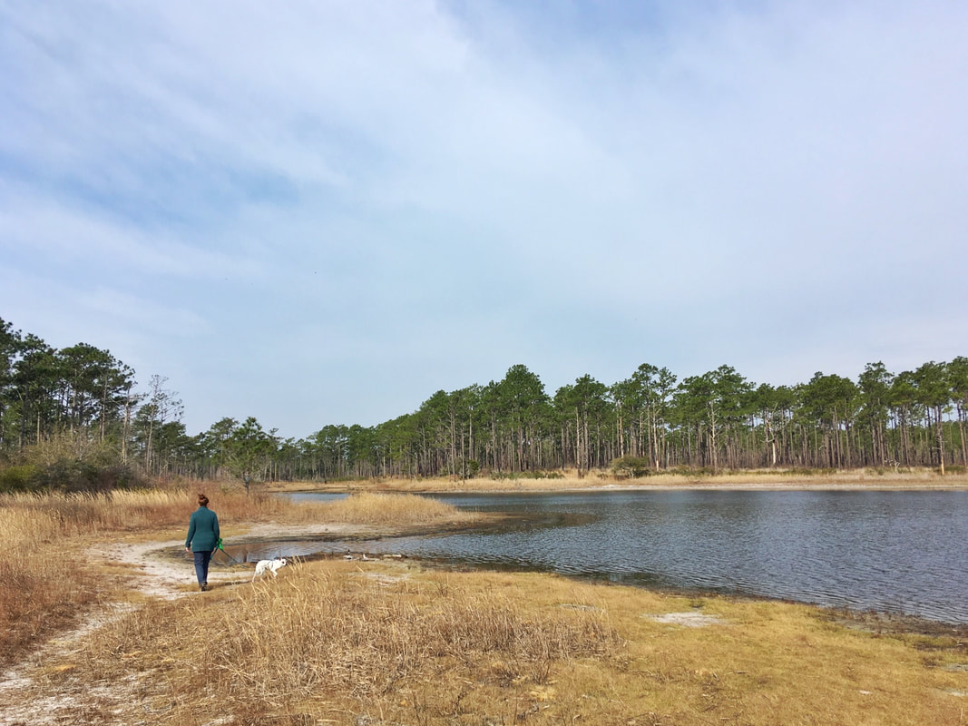
All and all, a nice and easy hike recommended for all!
~Paul, Amber, & Eleanor P.S. - Be sure to check the hunting season if you want it extra chill on this trail (or at least wear orange!). The NCCF states that hunting occurs Oct-Feb & April-May. They have complimentary orange vests to borrow across the street at the NCCF building. Read more about this and the trail at nccoast.org. Nearby adventures: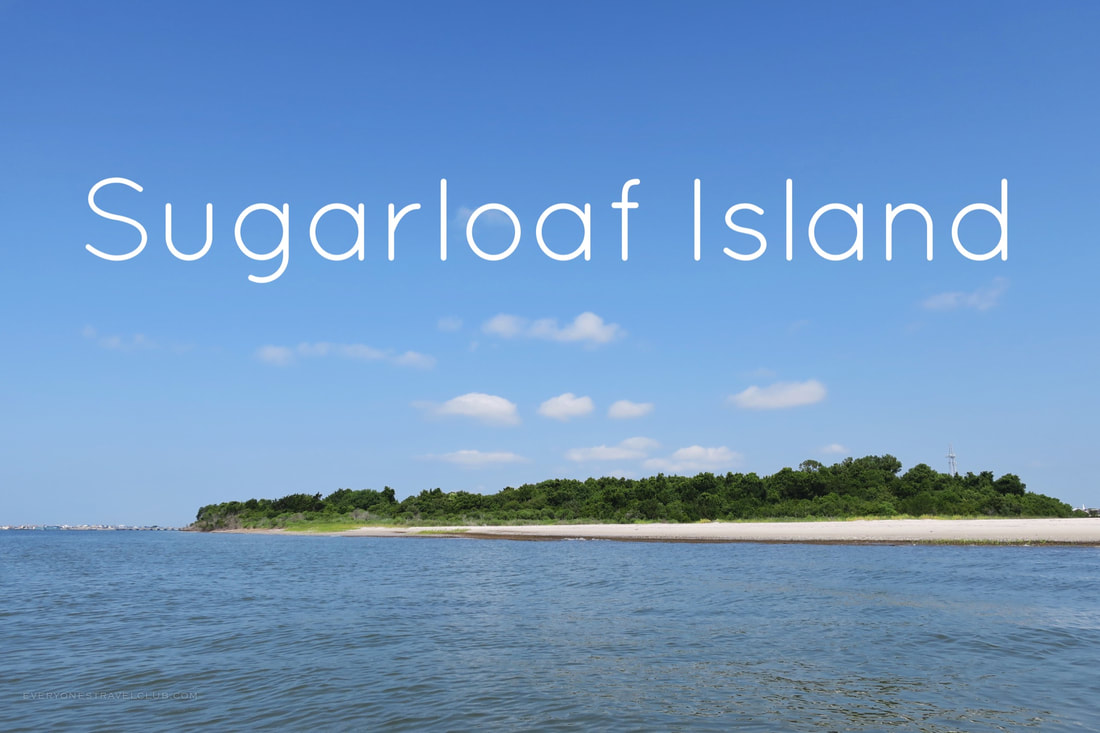
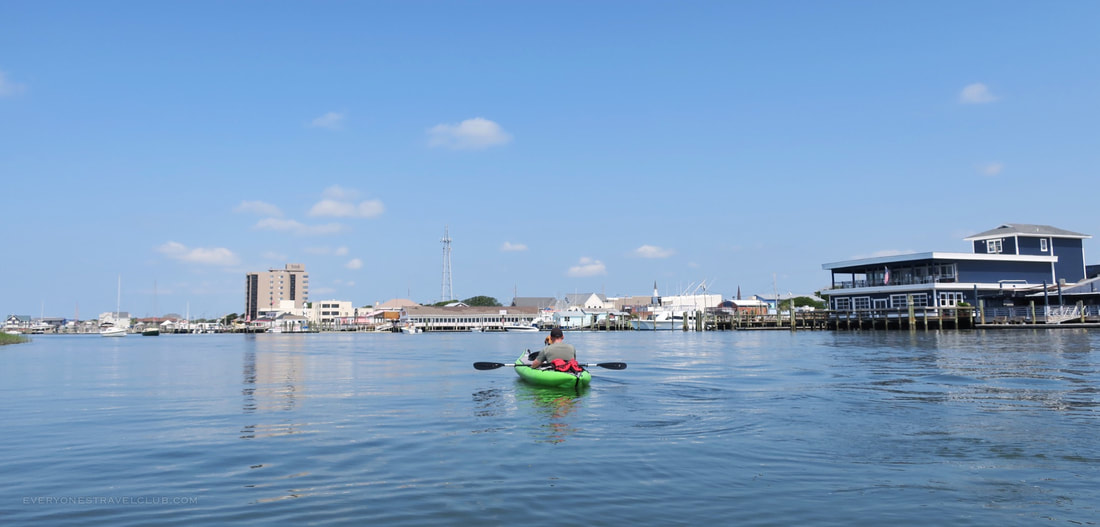
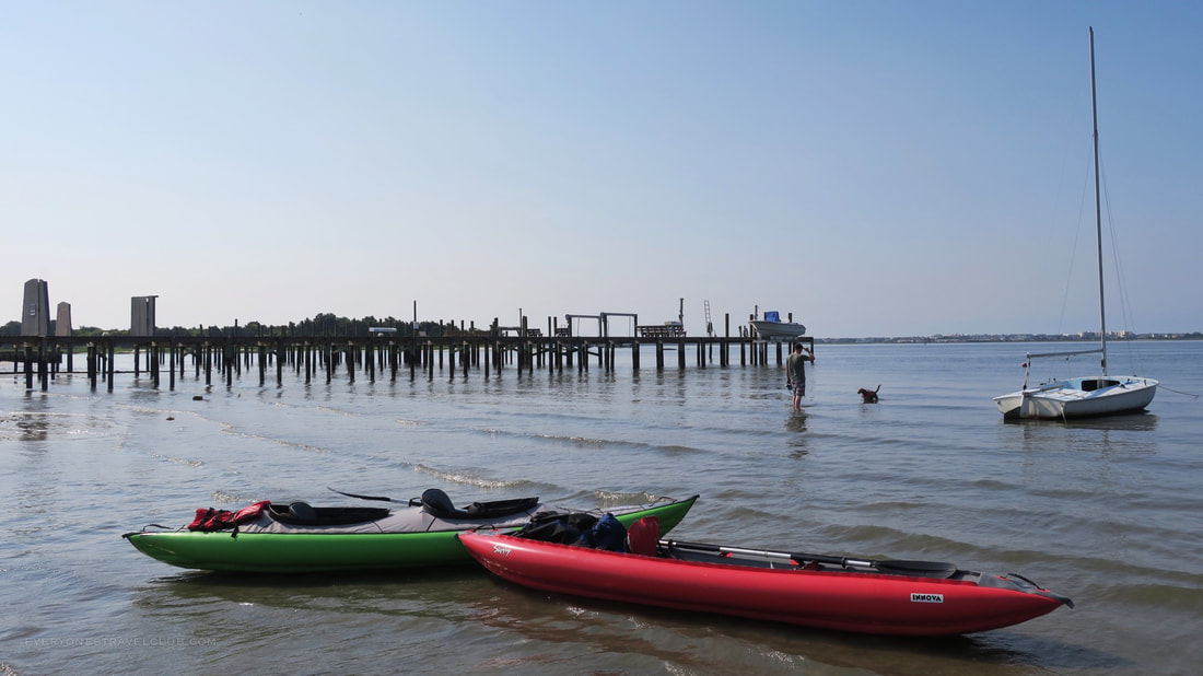
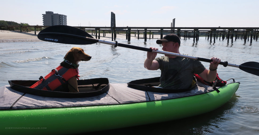
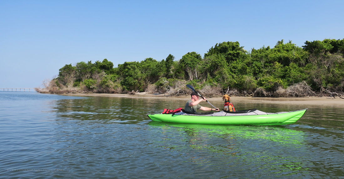
Summer is officially in full swing here in Eastern North Carolina. My buddy Andrew and I thought we'd kick things off by paddling (with mutts) to Sugarloaf Island, located along the Crystal Coast, just off of downtown Morehead City.
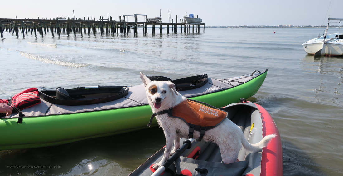
When you research where to launch a kayak in Morehead City you'll find lots of options. Spoiler alert: a lot of those launch sites listed are horrible places to launch a kayak. For example, downtown Jaycee Park/City Docks is commonly listed...but the docks there are way too high for kayaks. We highly recommend launching from nearby 11th street water access (South 11th & Shepard Street). There's lots of parking, a grassy area to get setup and a nice beach to launch from. Good news though, if the launch is full there are lots of plan B launch sites along the Morehead waterfront. Just know: some are better than others - try for the 11th and Shepard first.
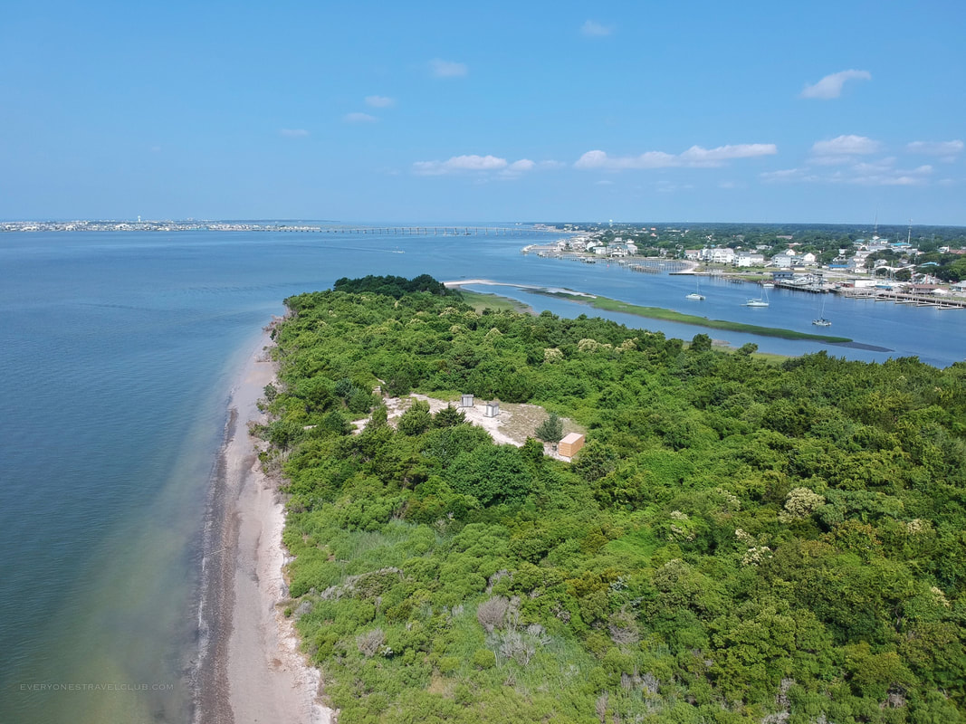
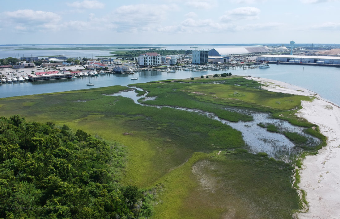
Pow! A look at Sugarloaf Island from the sky! You can see how small yet undeveloped she is, and how close the island really is to downtown. The lack of buildings on the island is no accident - it is protected and managed by theNC Coastal Federation, like a lot of other islands in the area. Sugarloaf is around 47 acres with a trail through the middle and restrooms.
We paddled around the wild side (facing the ocean) and then turned the corner to the city side.
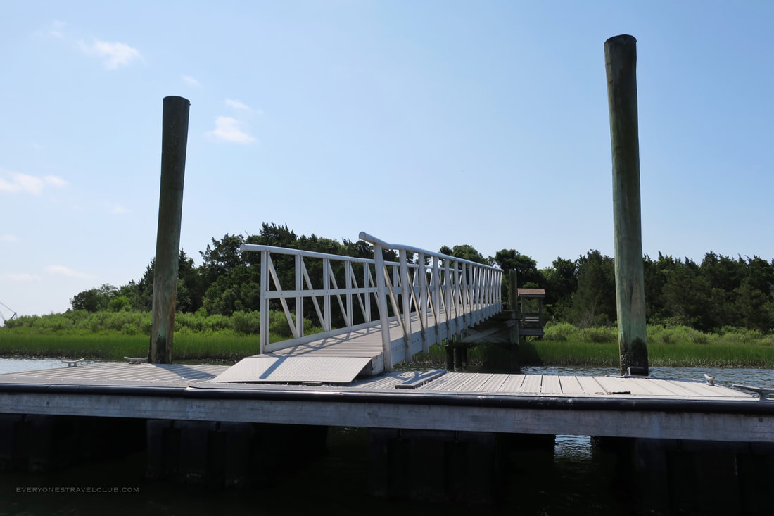
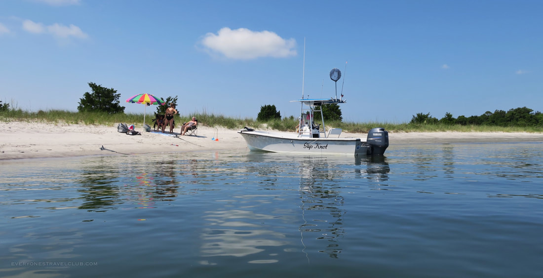
As you pass downtown you'll eventually arrive at the dock for the island. Spoiler alert: the dock is extremely high for kayaks - it's much better to land on the wild side beach (oceanside of the island).
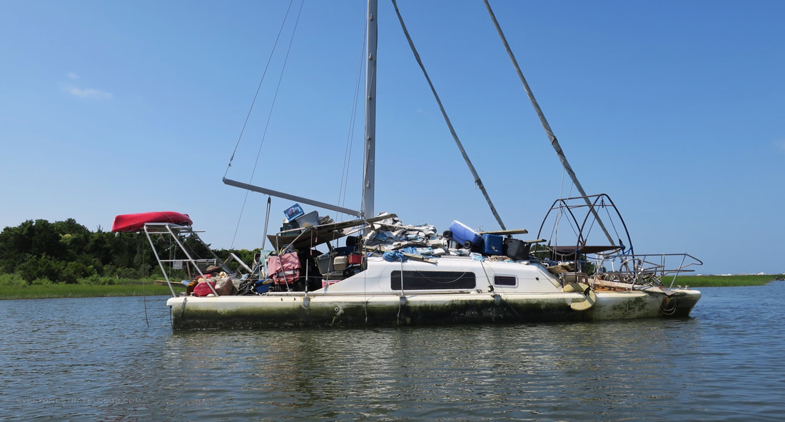
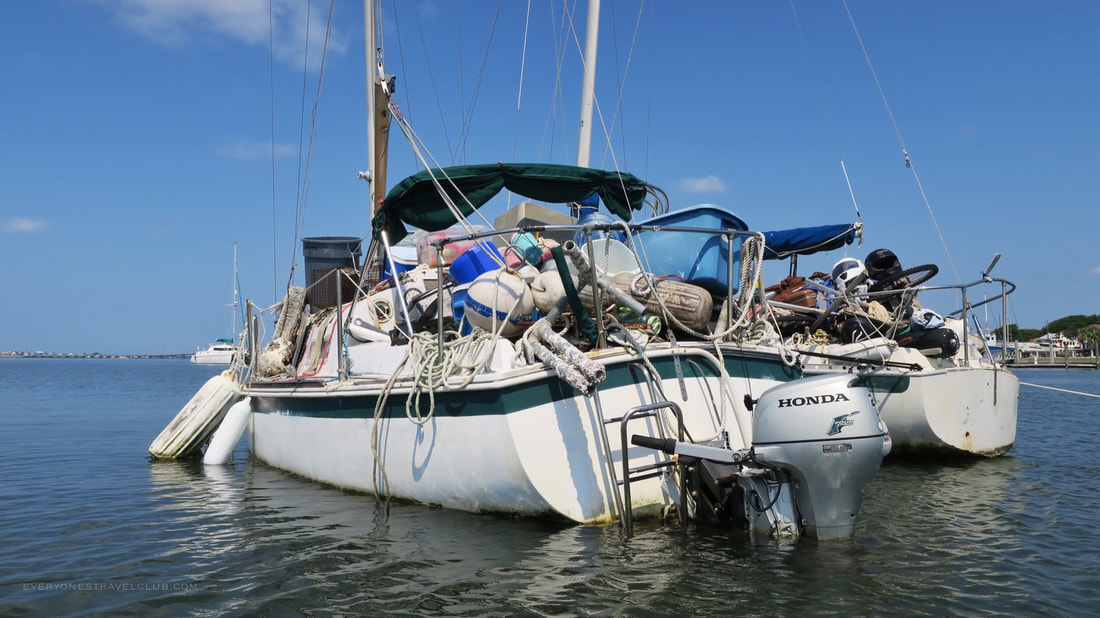
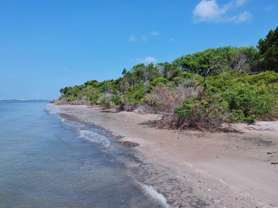
As we neared the end of our circumnavigation of Sugarloaf Island we stumbled upon a few interesting vessels. Trash boats! What!?!?! Does someone liveaboard these neglected sailboats? Do passing party boats just throw their trash aboard? We have no idea but they seem mysterious.
Viva la summer! We had a blast on our quick paddle around Morehead City's Sugarloaf Island. Be sure to check out our instagram and follow where we're currently adventuring. As always, check back for new posts here once a week (soon moving to twice a week!).
~Paul & Andrew everyonestravelclub.com |

Categories
All
We hope you've enjoyed the time you've spent on our site. All images, text and designs are copyright Everyone's Travel Club and may not be used without written permission from us. Email us!

Archives
August 2022
|


 RSS Feed

|
Connect:Contact: |
everyonestravelclub@gmail.com |