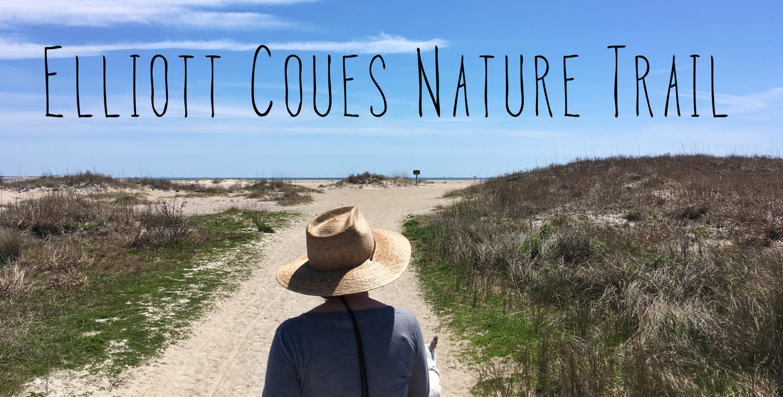
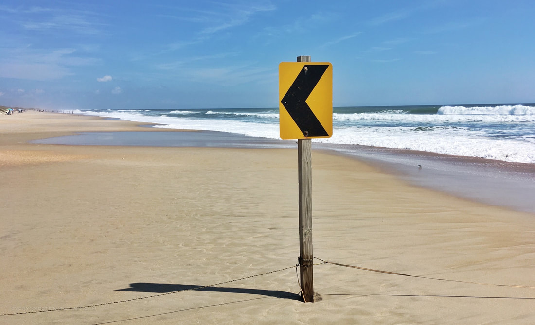
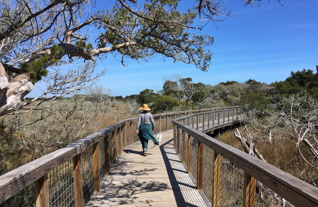
We adventured back into Fort Macon State Park to try a little hiking on the new-ish Elliot Coues Nature Trail. It's my second time hiking the trail and I have to say, I think this is one of the best trails in Eastern North Carolina.
To get there, head over the bridge to Atlantic Beach from Morehead City. You'll arrive at Bogue Banks, an Eastern North Carolina barrier island with Atlantic Beach on this end and Emerald Isle on the other (20 miles down the road). Fort Macon State Park also sits on this end, we've explored there before, but since then they have added this trail.
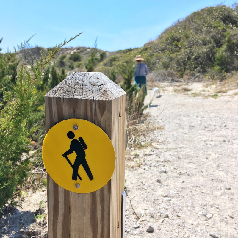
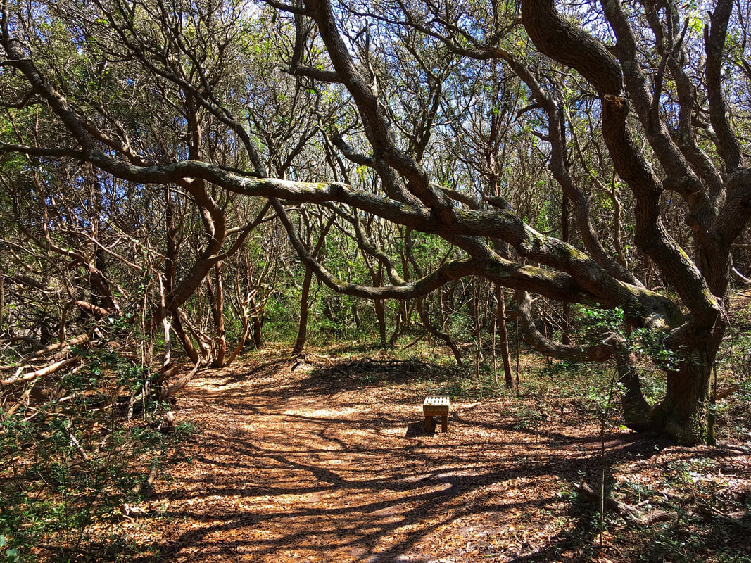
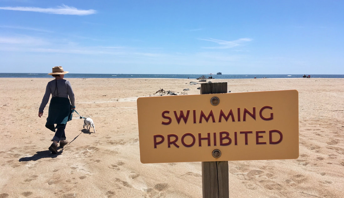
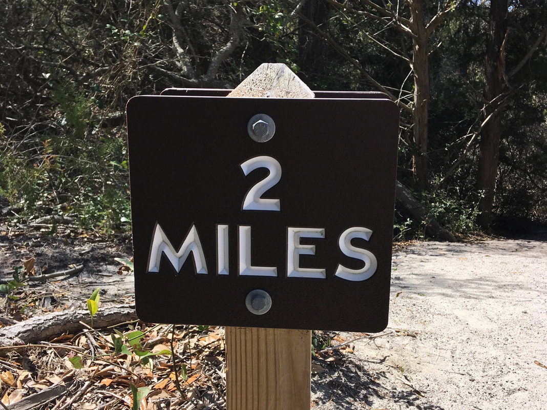
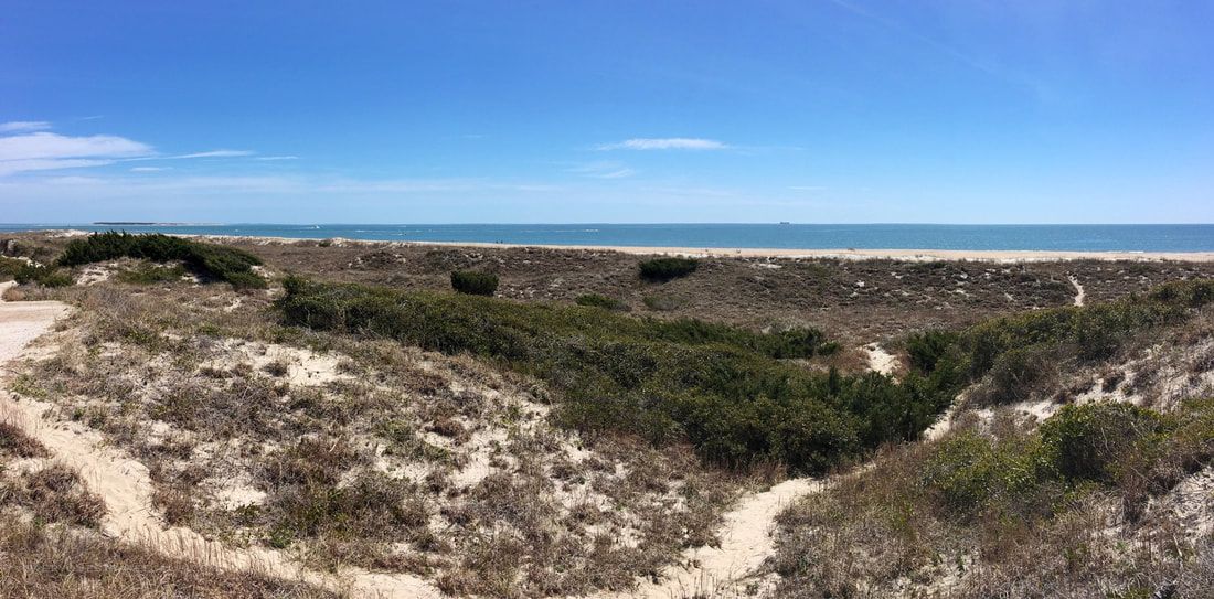
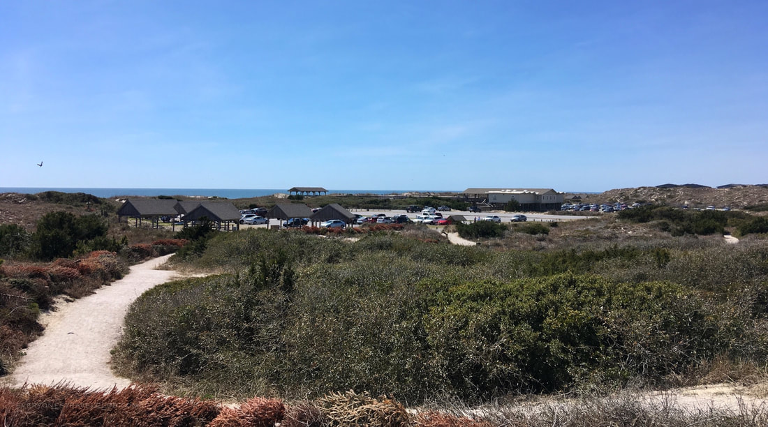
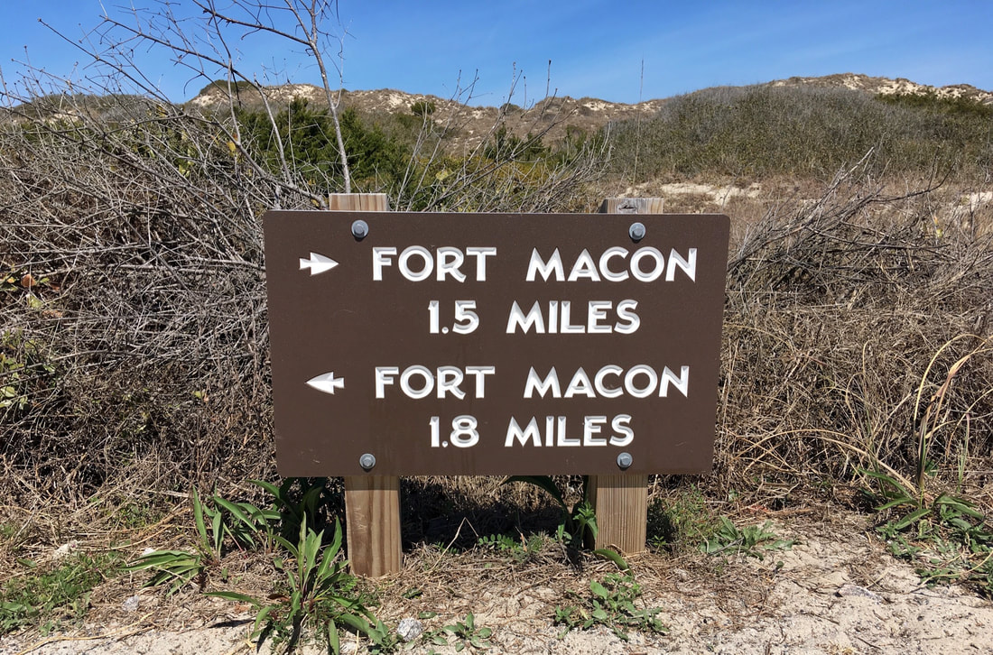
The trail winds through seaside dunes, a maritime forest, and over a boardwalk through the salt marsh. It's a 3.2 mile loop, accessed from the Fort Macon Visitor's Center parking lot or the Fort Macon Swimming Beach down the road (there's parking there too). We like to start at the visitor's center and hike the beach section first, that way we can get some shade in the forest on the second half of the hike.
The trail is well marked and maintained and there's usually a decent amount of people hiking on any given day (especially the weekends).
We highly recommend this trail - there's really not that many trails in Eastern North Carolina, especially [partly] on the beach. It took us about 1 hour and 25 minutes to finish the entire 3.2 mile loop. Try it!
~Paul, Amber, Eleanor everyonestravelclub.com
1 Comment

Ok, so, we're in the planning stages here folks. Our new-ish 4x4 Jeep Renegade Trailhawk hasn't been set free onto one of North Carolina's many drivable beaches yet...but we're planning on it. We were going to drive on Emerald Isle this winter but were easily distracted by the new drone.
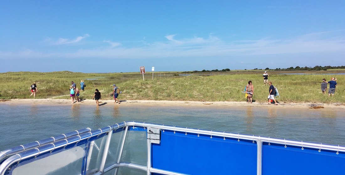
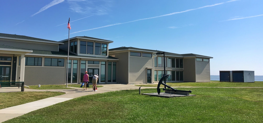
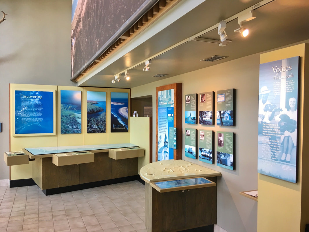
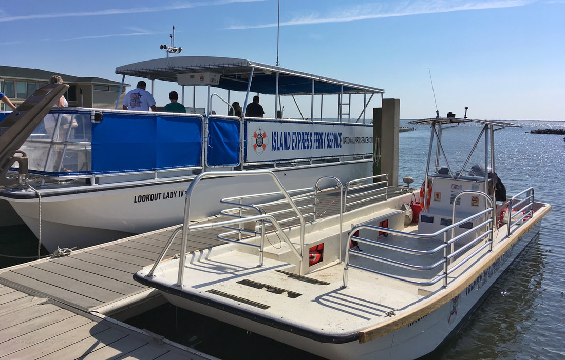
We drove over to the Cape Lookout Visitor's Center on Harkers Island (this is one of many visitor centers for Cape Lookout National Seashore - here's the others). We browsed exhibits in the building and eventually purchased passenger ferry tickets to the Cape Lookout Lighthouse. We shoved off, quickly stopped by nearby Shackleford Banks to drop off visitors (pictured below), and eventually arrived at a dock on the cape near the lighthouse.
Cape Lookout National Seashore includes 3 large undeveloped barrier islands that stretch over 50 miles (the islands are South Core Banks, North Core Banks, and Portsmouth Island). You can get to all three using various park and/or private ferry services. Some of these services are how we will one day get our 4x4 vehicle to the islands.
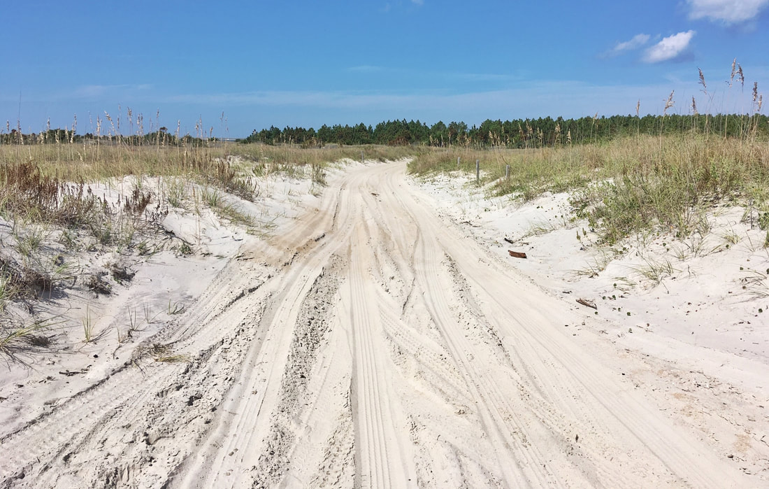
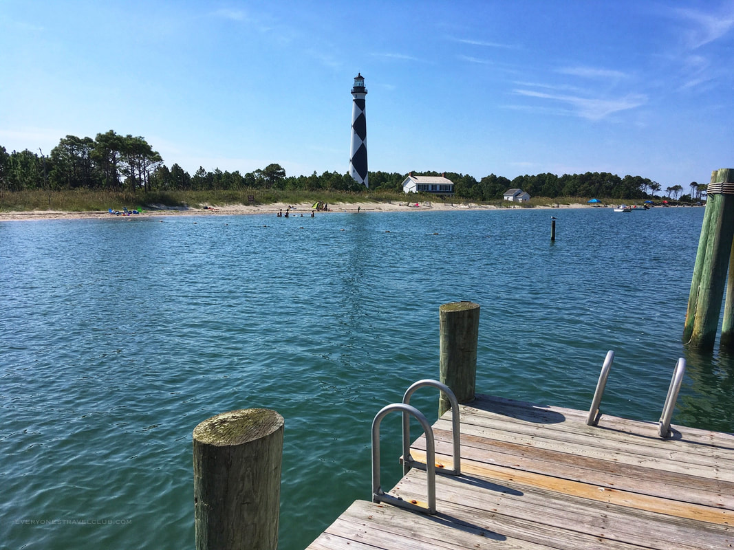
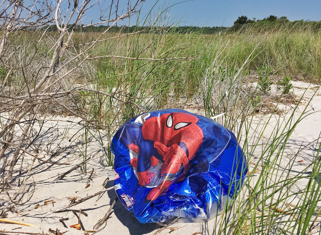
On this trip we were just trying to feel out the vibe of the place. This lighthouse side of the island has another small visitors center to explore, you can beach it on the bay or ocean side of the island, climb the lighthouse, fish, or just relax and search for shells. Like many spots along the coast, all trash you bring to the island must come back with you. I'm always a little suspect of these systems while our state is still trying to kick itslitter habit. While walking the beach on the ocean side we saw quite a few vehicles and I started pondering the specifics of getting our Jeep out here. Here's what learned (in the form of tons of helpful links!).
Driving, Parking, & Getting There *Here's some general info from the park about driving at Cape Lookout National Seashore *Here's alist of the ferries that can transport passengers and vehicles from the mainland, it's gonna cost you $75 and up to get your vehicle out here, the boats leave from different places on the mainland *You should have 4-wheel drive, gear to get you unstuck from the sand, and deflate your tires to around 20 psi for more coverage/grip in the sand *You'll need to pick up a free ORV Education Certificate decal (online or at the park) to display on your ride *There is longterm parking available on the islands - for folks who want to leave their rig there and passenger ferry back and forth to save $ *Here's a great blog post about driving on the islands/beach Camping and Cabins to Extend the Trip *Cabins to rent *Camping (you can actually make a campfire!) *Paddling from the mainland to the islands *Here's amap of all of the islands Portsmouth Island I'm going to leave you with a few more links regarding Portsmouth Island - the smallest of the three islands and home to Portsmouth Village - a cool and deserted historical seaside village. The park info doesn't really mention driving here, probably because the possibility of a flooded road. Some of the other info makes it seem easy. *Visiting Portsmouth Village *Somehistory and how to get there *Driving there - flooded roads, bugs, and more! *Portsmouth Island ATV tours (this looks fun) 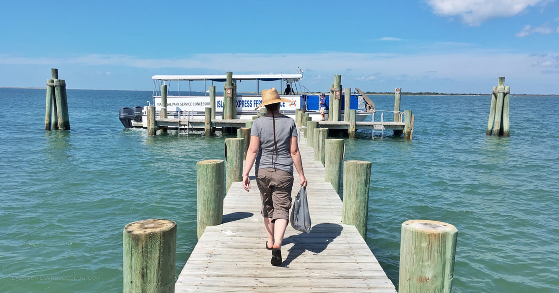
We had a great time in our short visit and are excited about planning a longer stay with the Jeep. Since the cost is pretty high to get out there ($75 for our vehicle), it seems smart to camp by your ride or book a cabin to get the most out of it. More on that story as it develops!
~Paul & Amber everyonestravelclub.com 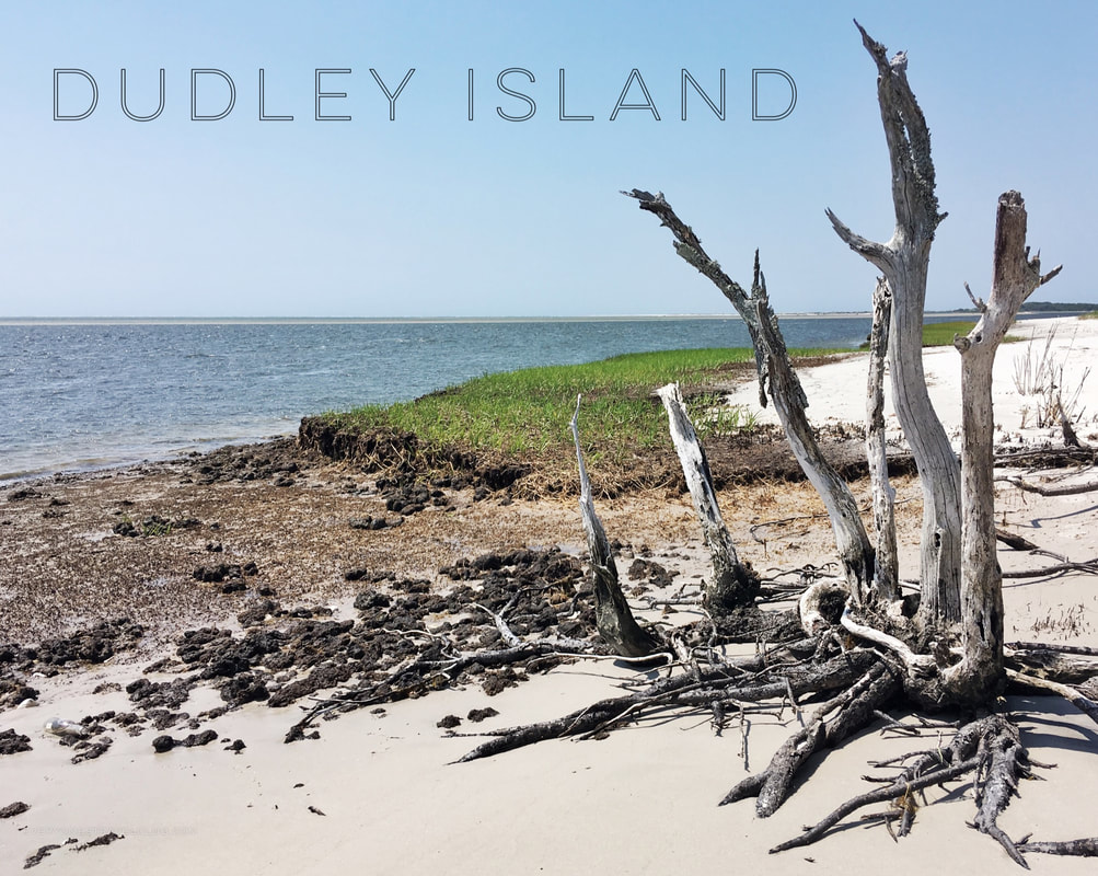
There's a few local islands I stare at all of the time but haven't actually explored yet. One of those is Dudley Island, part of Eastern North Carolina's Hammocks Beach State Park (recently added). Now, I didn't actually know that this island was part of the park until after the trip, but none-the-less, I'm glad it is and it's being protected.
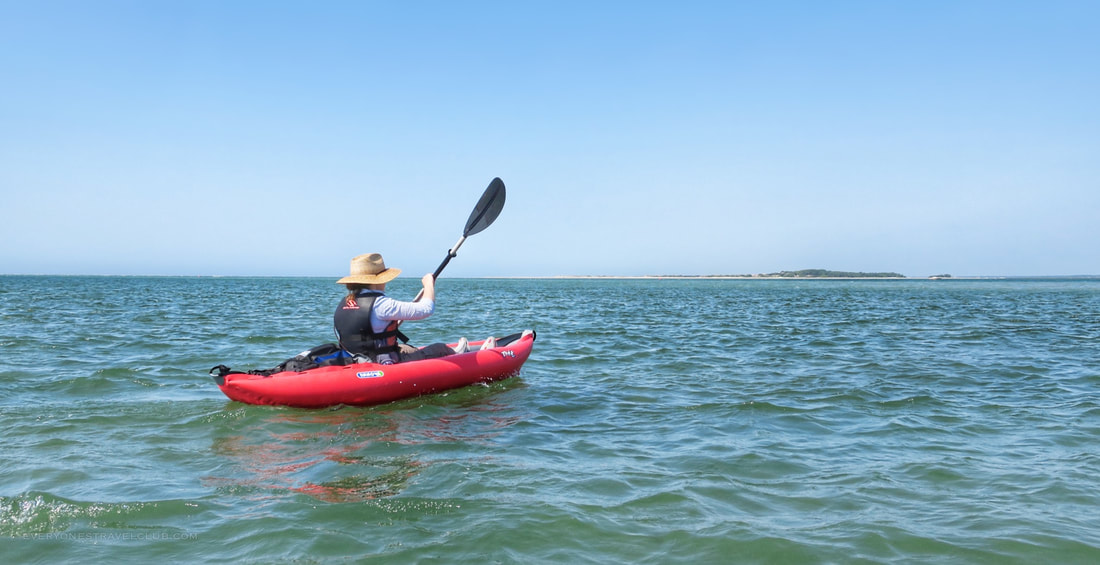
We left the Point at Emerald Isle and paddled across the Bogue Inlet to reach Dudley Island. A higher tide is preferred as there is a giant sandbar between Emerald and Dudley. If you launched from the Point like us it's best to paddle away from the ocean a little bit to avoid the confused seas caused by the Inlet. Moral of the story - you probably won't be able to paddle in a straight line from island to island.
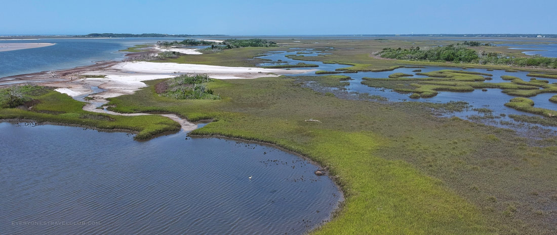
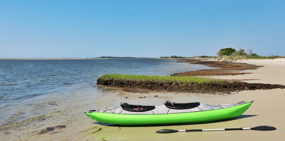
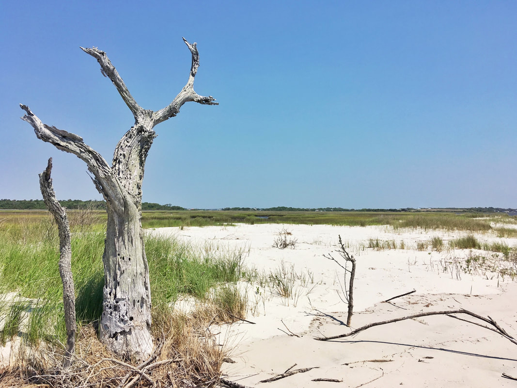
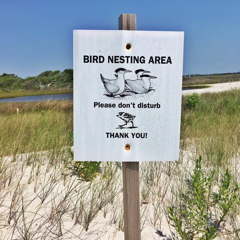
Once we navigated our way across, we found a few nice beaches to land our kayaks. Strangely there is lot of mud on this side of the island so don't be surprised when your feet get sticky as you step ashore. Because there's more soil, there's interesting grass growing (pictured above) that gives this island a different feel than the surrounding ones. There is a good deal of beach to walk on (on the oceanside of the island). For a good part of the season the interior of the island is off limits due to nesting birds. There are posted signs with dates.
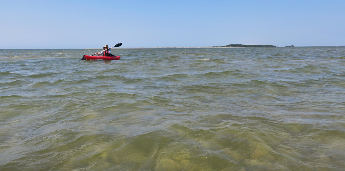
We played on the beach, took a few pics, and back we paddled! A nice trip with some expected navigational challenges crossing the Inlet. On our return we paddled back over to the Point and up near the Emerald Isle Coast Guard Station to duck the current and wind. This probably isn't a great trip if it's your first few times in a kayak, but if you feel comfortable and have a little experience it will be fun (if you plan ahead!). Also, parking is limited to a neighborhood park near the Point - it will be hard to find a space at busier times.
Paddle safe everyone! ~Paul, Amber, & Eleanor EVERYONESTRAVELCLUB.COM Nearby trips: Emerald Isle Woods Emerald Isle Town Boat Launch Cedar Point Tideland Trail & Boat Launch Hammocks Beach State Park - Bear Island Jones Island |

Categories
All
We hope you've enjoyed the time you've spent on our site. All images, text and designs are copyright Everyone's Travel Club and may not be used without written permission from us. Email us!

Archives
August 2022
|


 RSS Feed

|
Connect:Contact: |
everyonestravelclub@gmail.com |