I've got to be honest, it's a little tricky to enjoy swimming in the Pacific Northwest. There's water everywhere here in Western Washington, but it's chilly. When summer comes around again this year I'll finally be ready…because I finally found a lake…a warm lake! 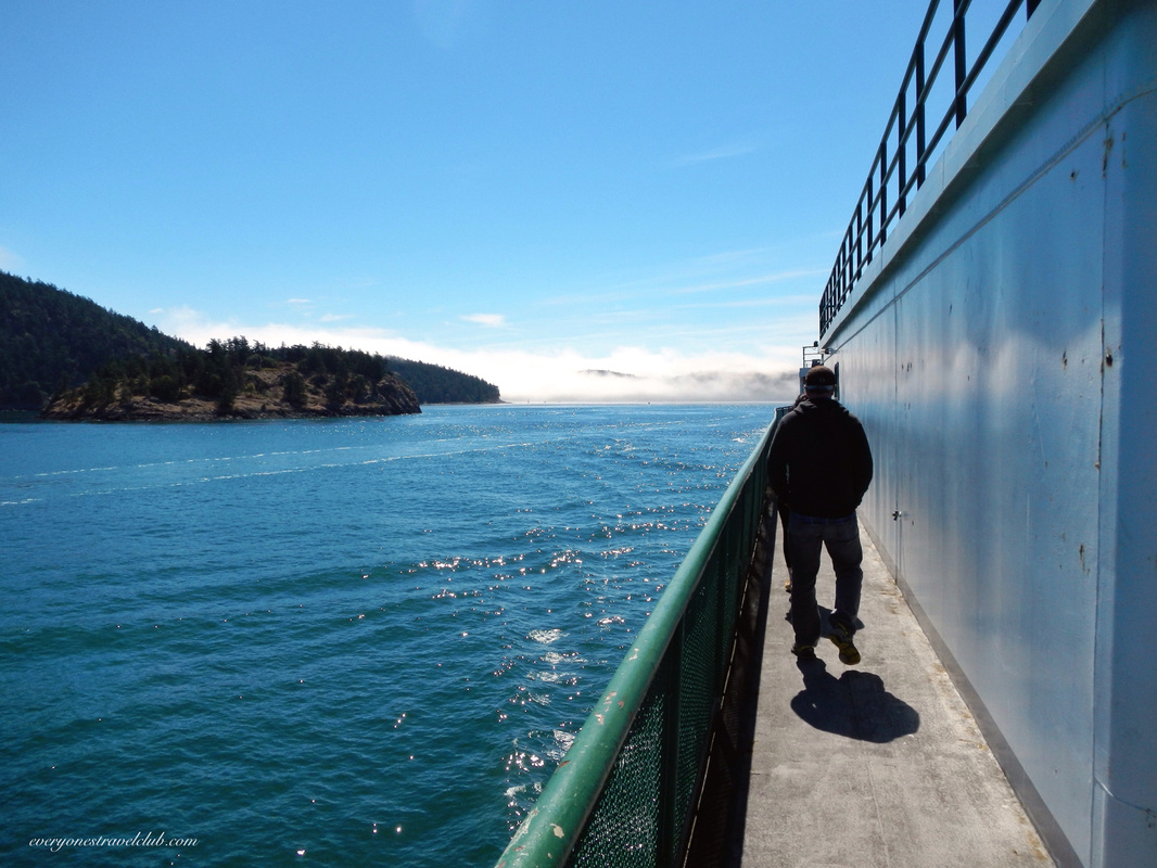
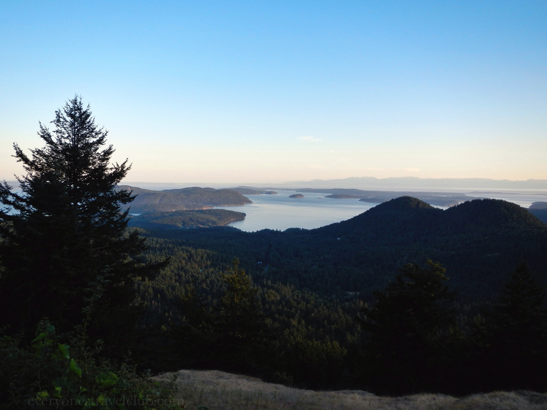
To get there…wait for summer, then catch a ferry out of Anacortes…to Orcas Island in the San Juans! 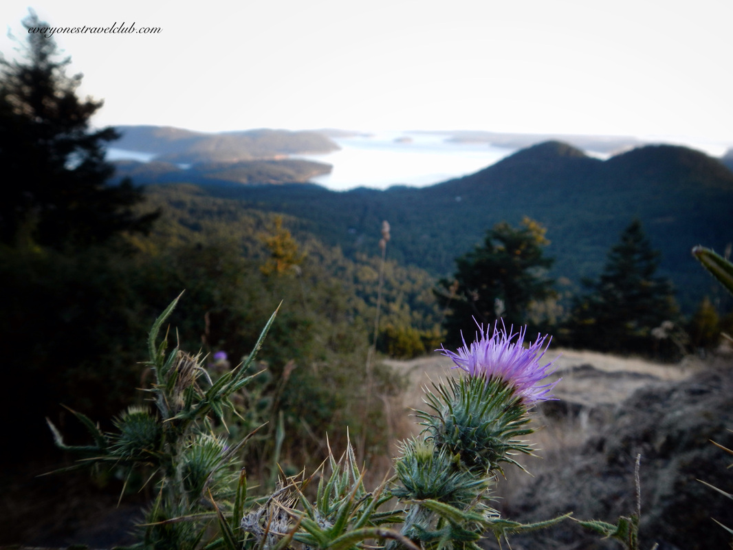
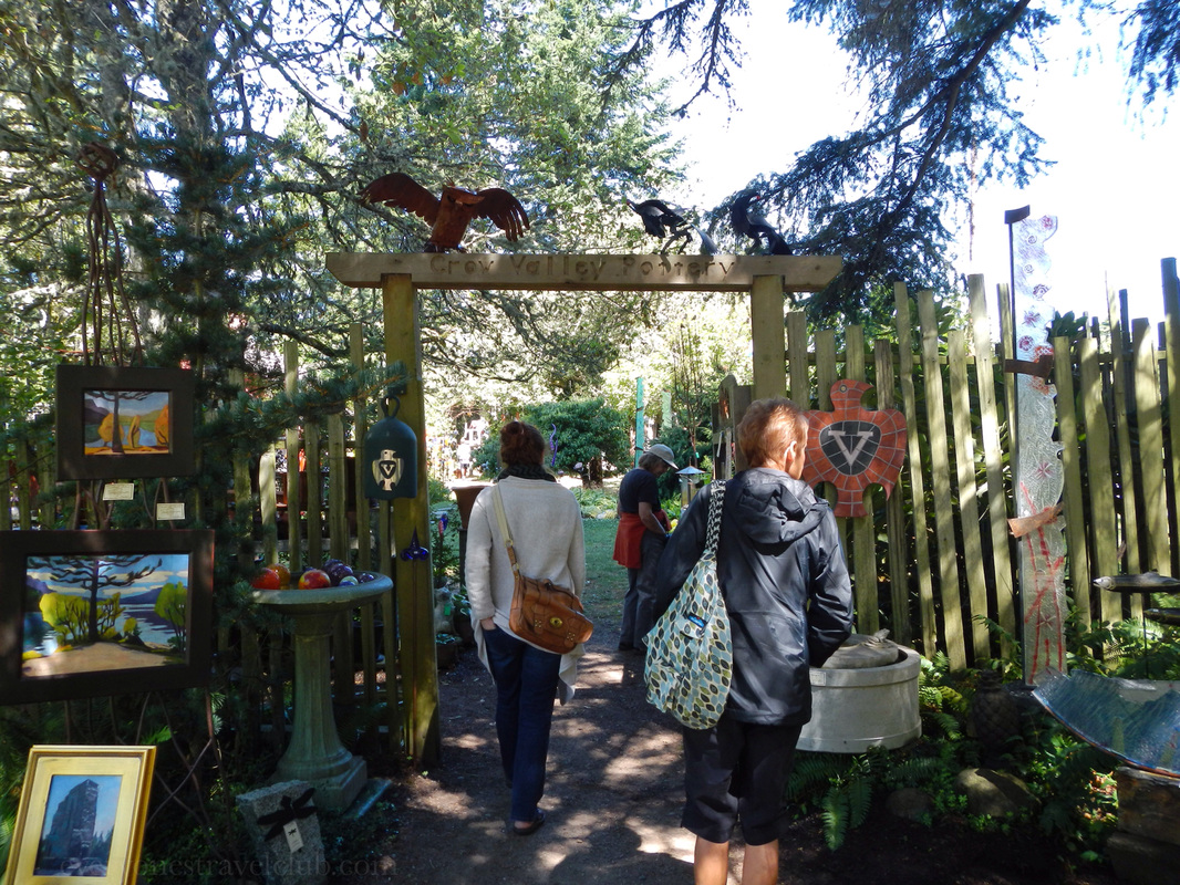
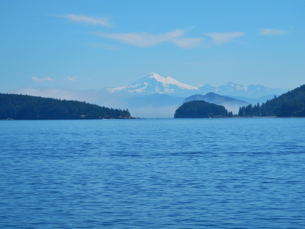
Stop at some island viewpoints and shops along the way. Above: the road up tos Mt. Constitution. Below: views of Volcano Baker and shopping at Crow Valley Pottery. 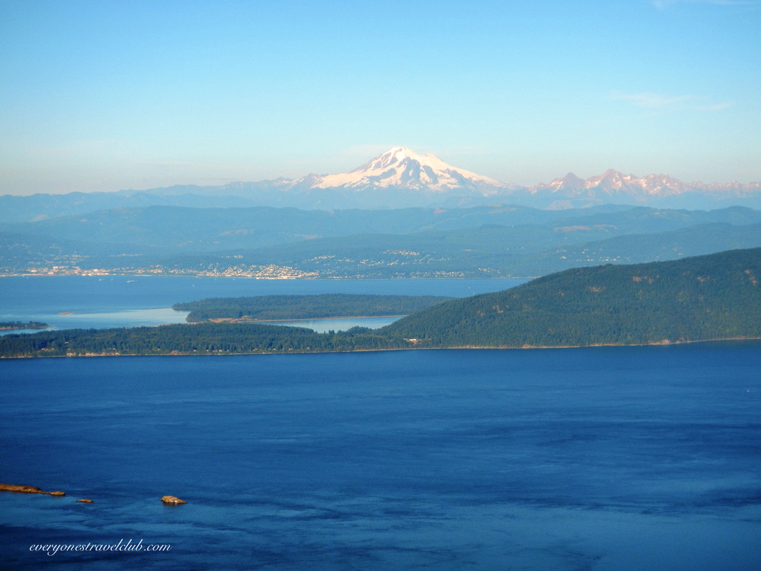
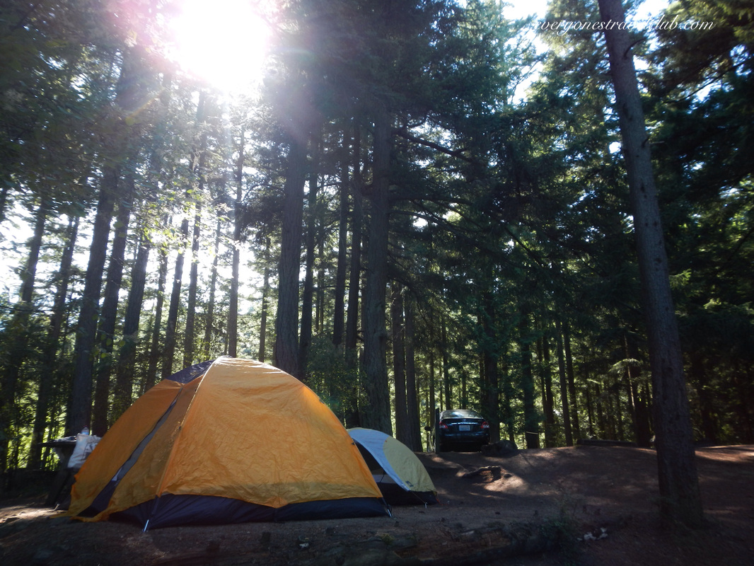
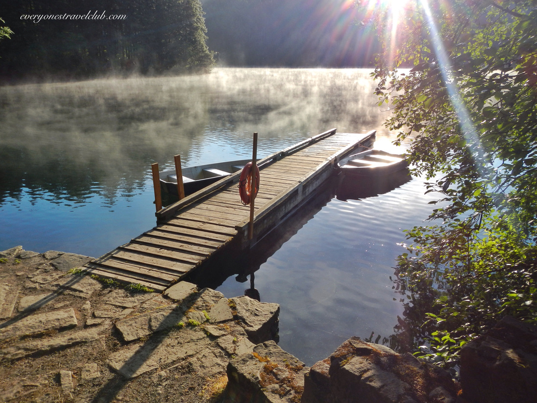
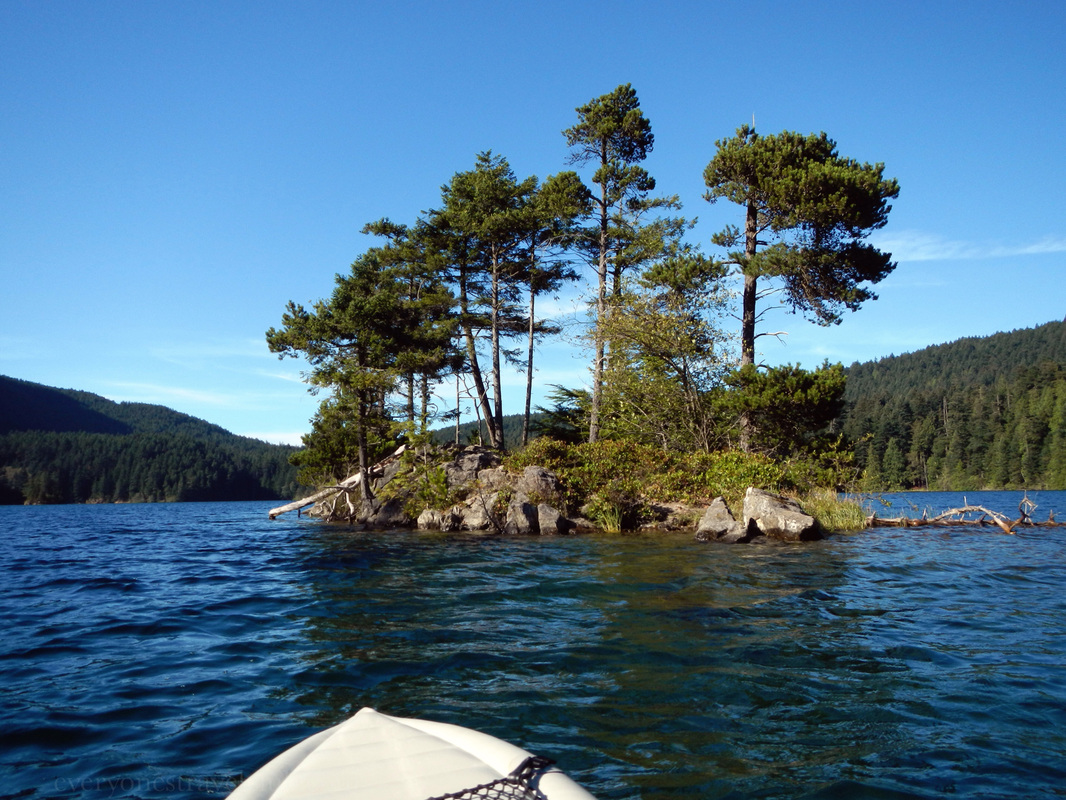
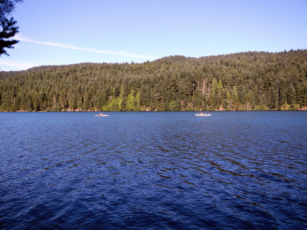
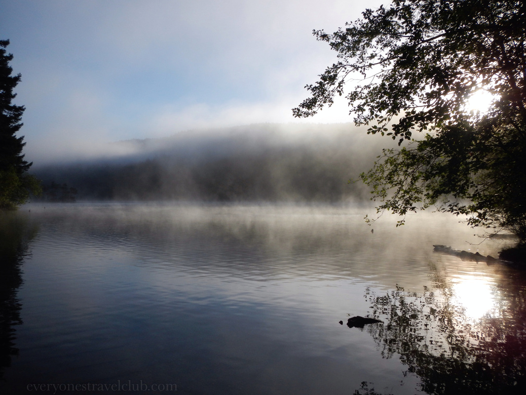
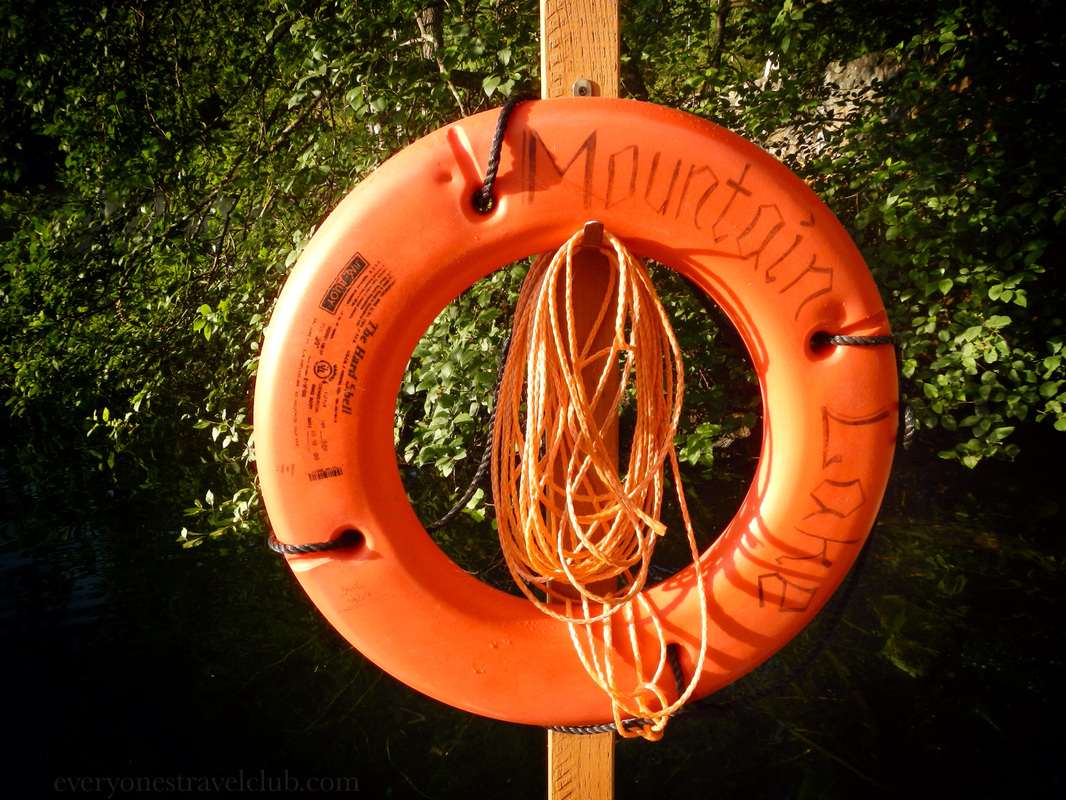
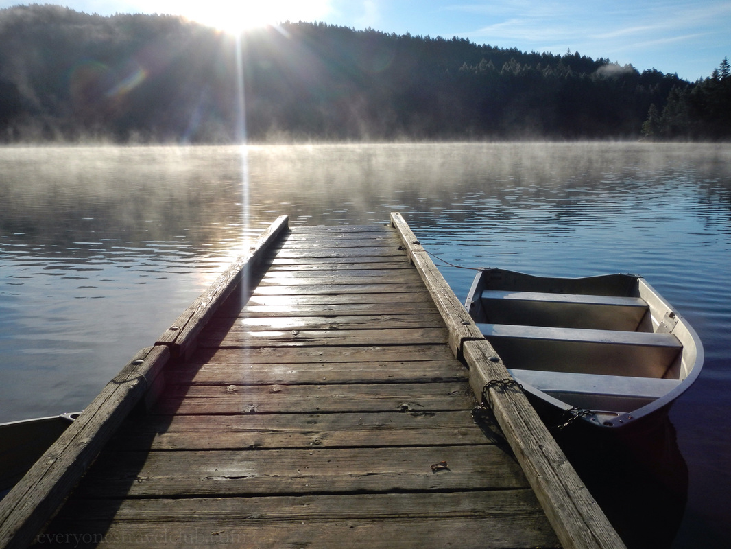
We've arrived! A little lakeside campground in Moran State Park called…Mountain Lake! 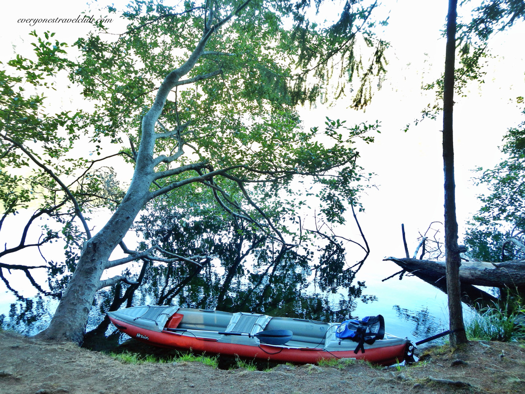
We took a few laps around the lake in our 2 person Innova kayak and had a blast. The water was surprisingly warm - much warmer than Lake Washington in Seattle (where we usually swim in the summer). 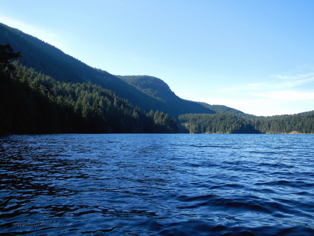
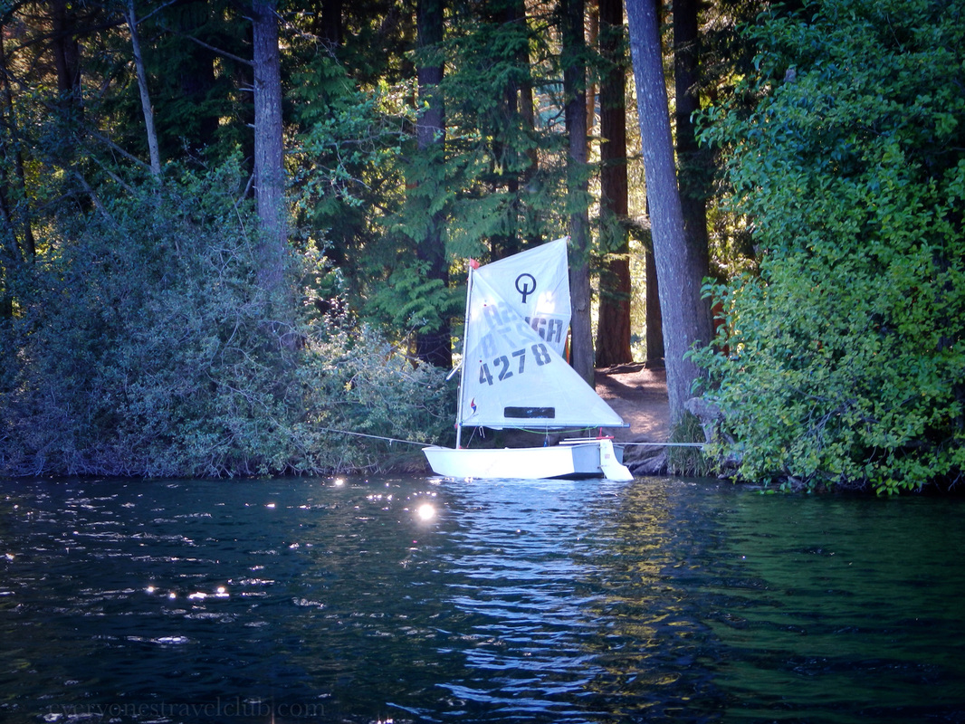
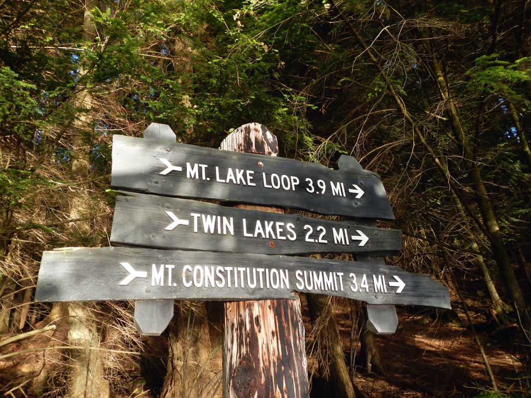
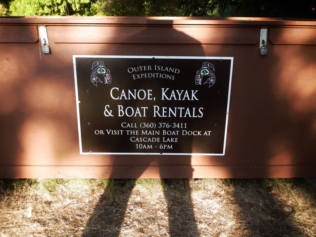
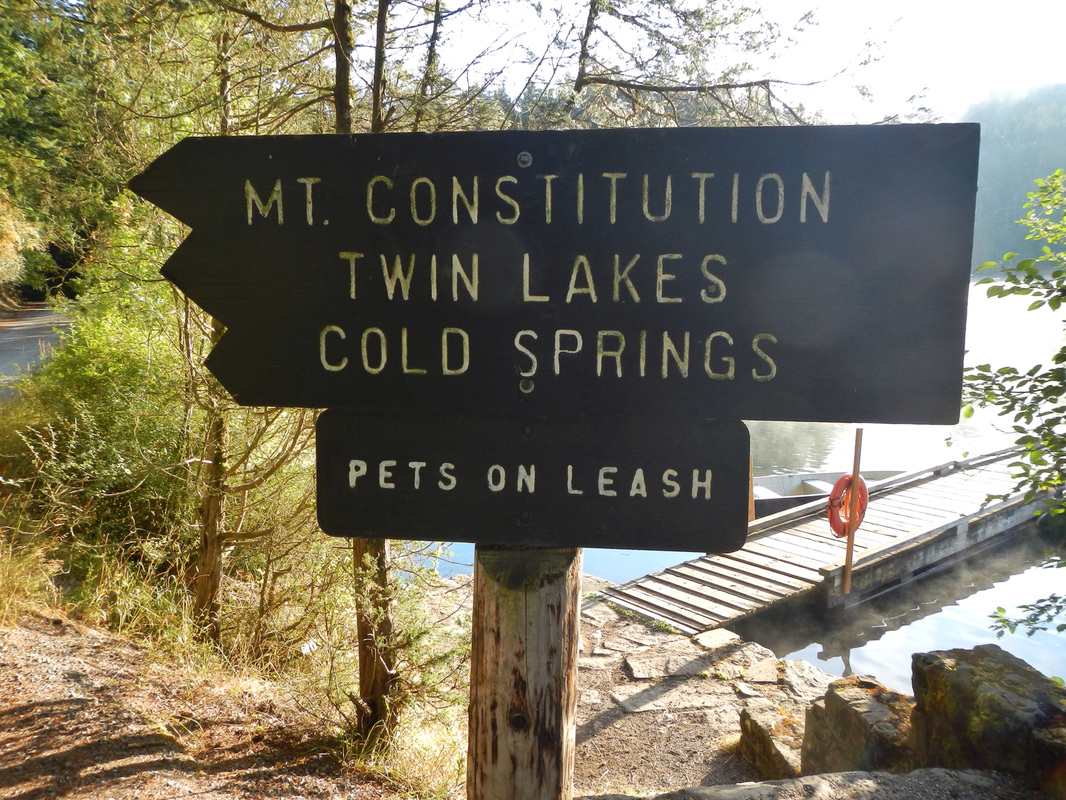
The campground has only about 10 spots with parking spaces, and a lot more for groups (not to mention sites in other parts of the park). We made a reservation online here. We didn't have that much trouble getting a reservation on a week day in the summer. There aren't showers onsite - that could be part of it (there are bathrooms & water though). More than one trail leaves Mountain Lake for lookouts, other lakes, and waterfalls (we've been to one). Canoe & kayak rentals are also available. 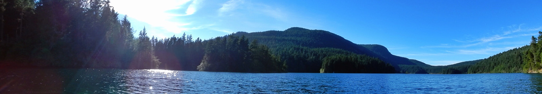
So, if you're looking for a warm summer lake to swim in, even in the chilly Pacific Northwest, be sure to book a night or two at Mountain Lake on Orcas Island! ~Paul, Amber, Mom, Sis 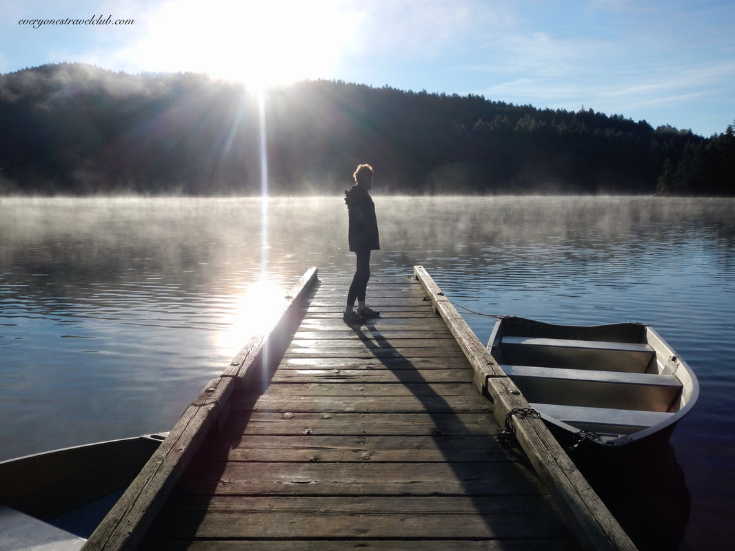
1 Comment
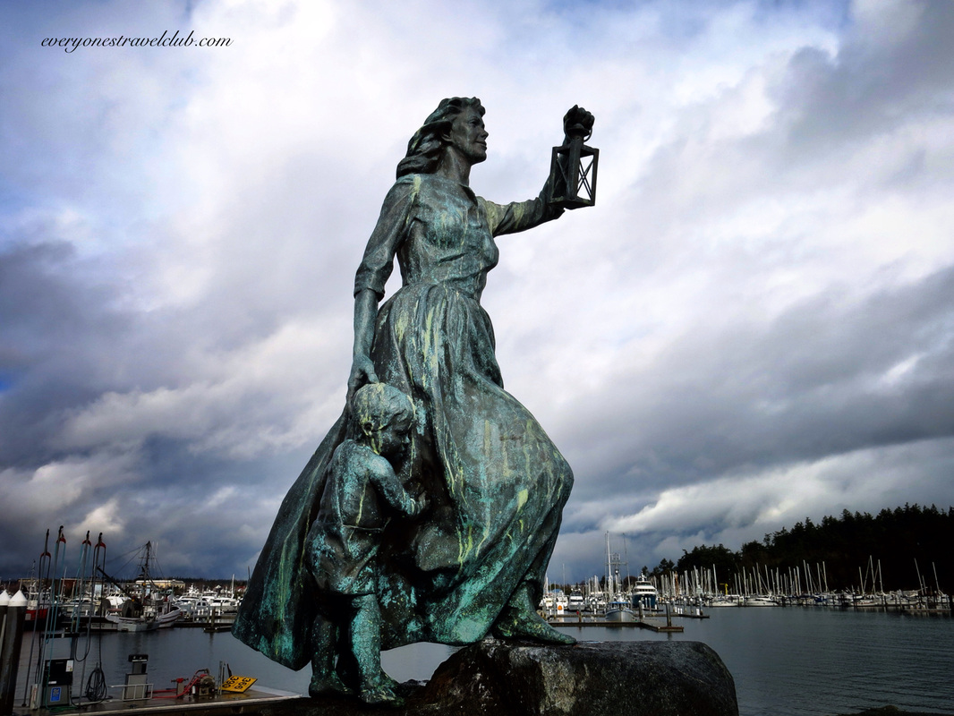
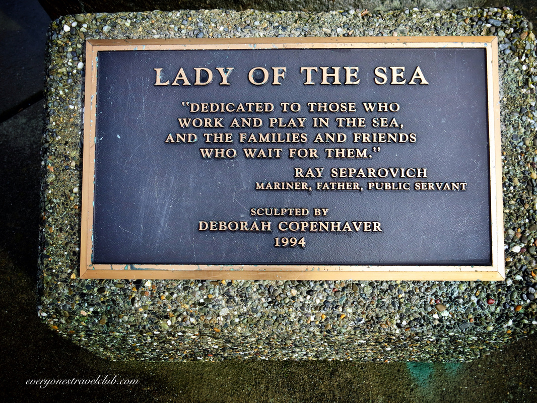
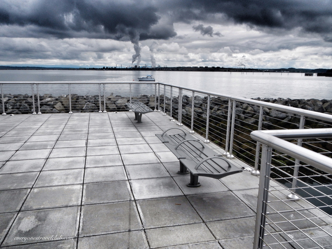
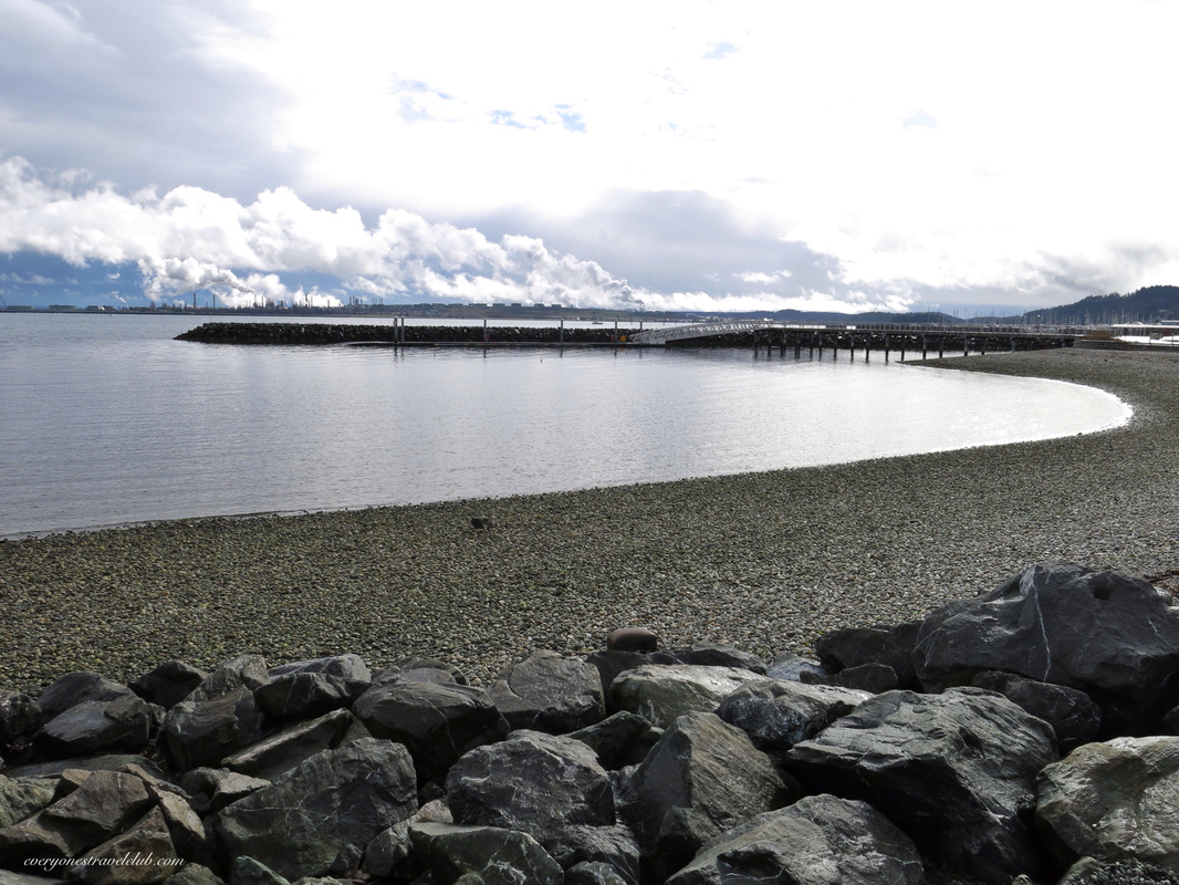
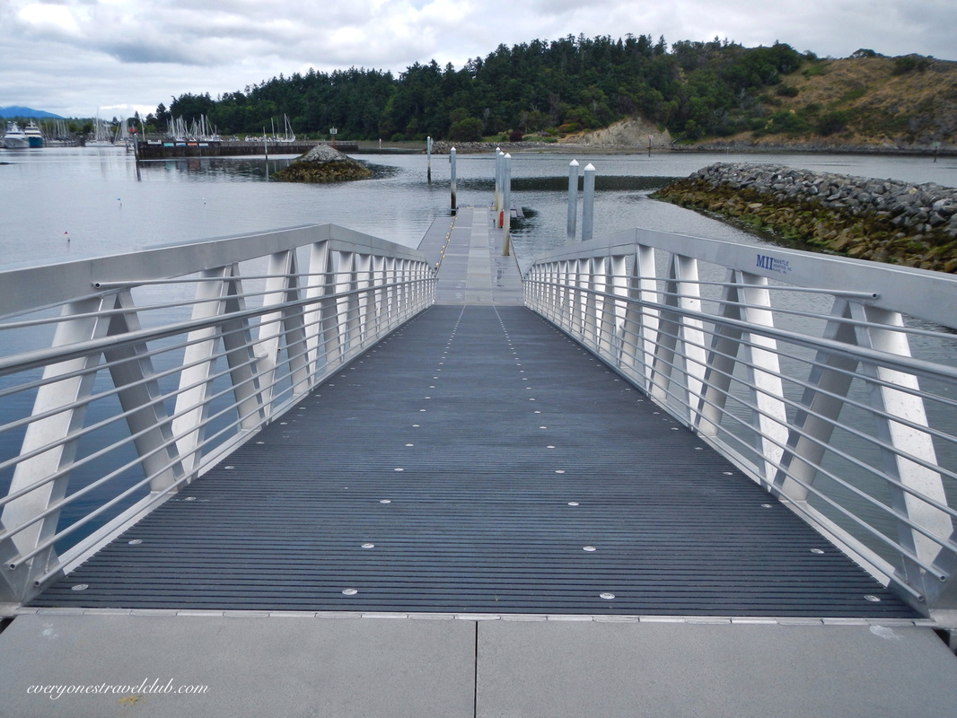
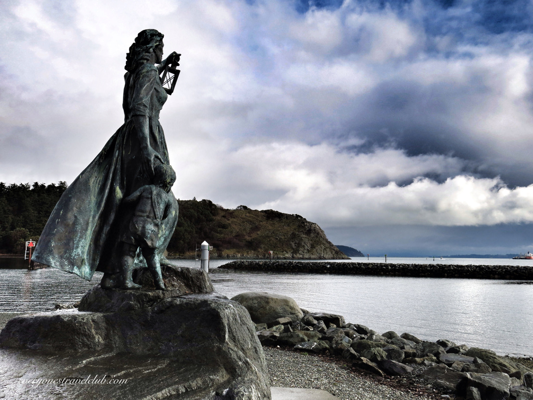
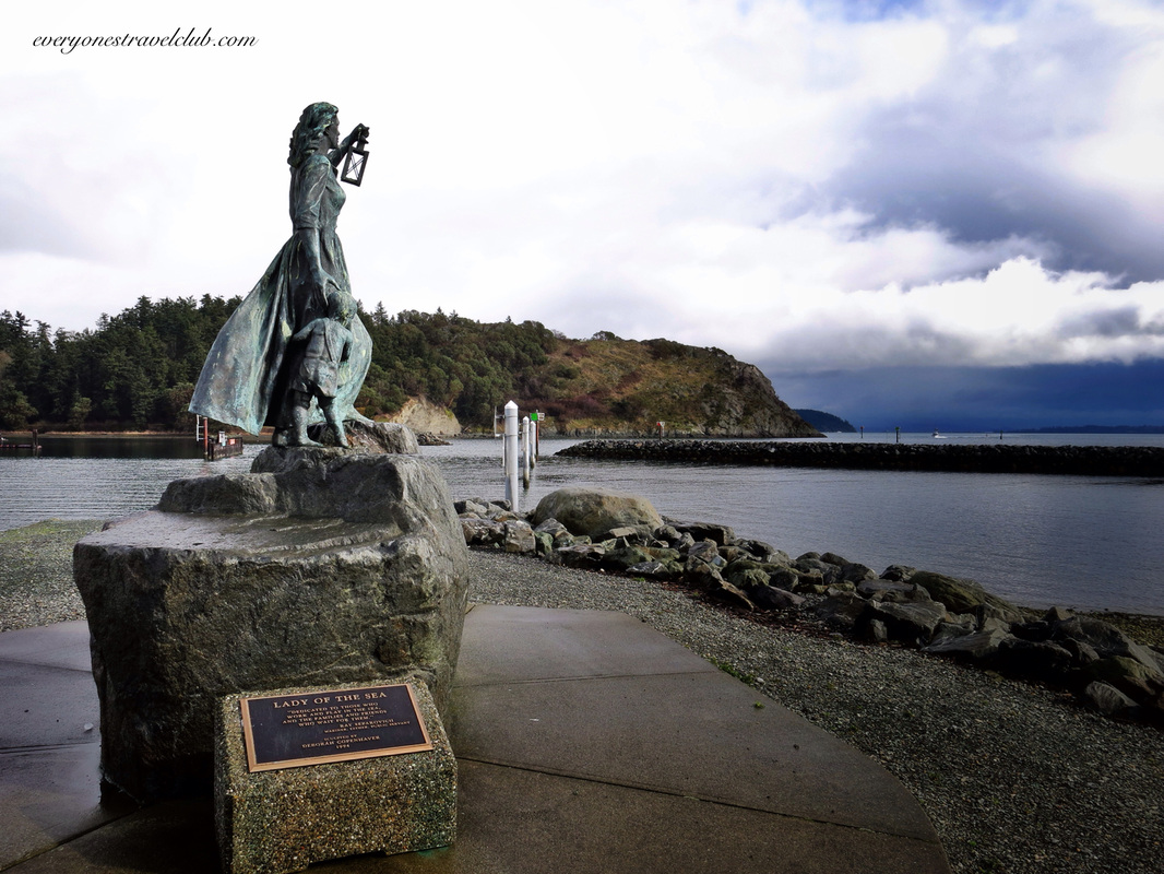
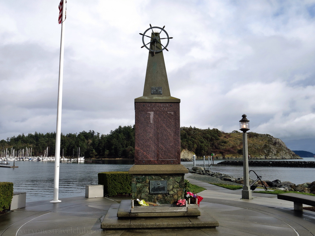
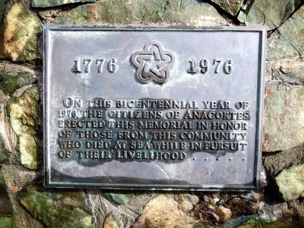
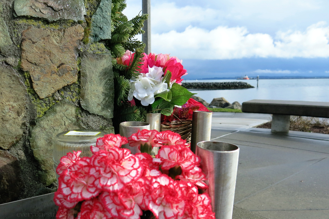
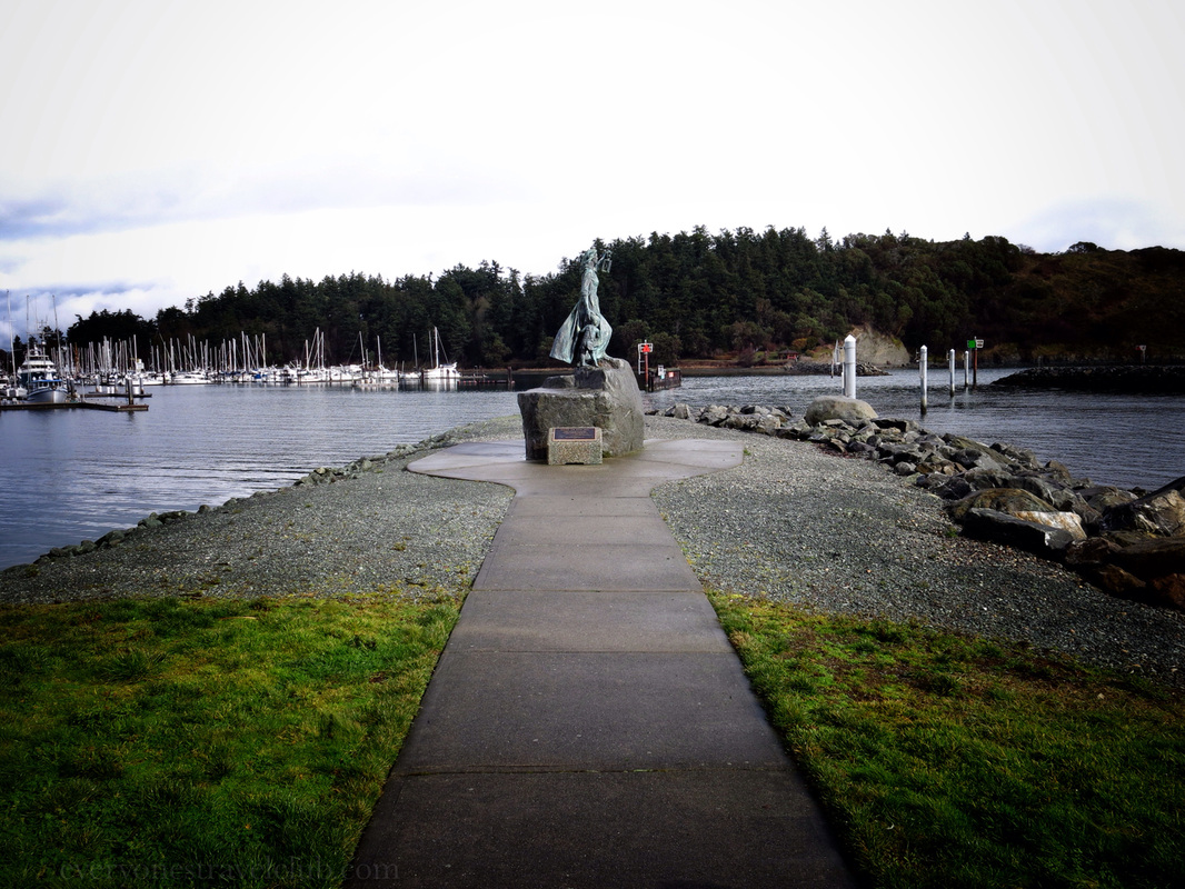
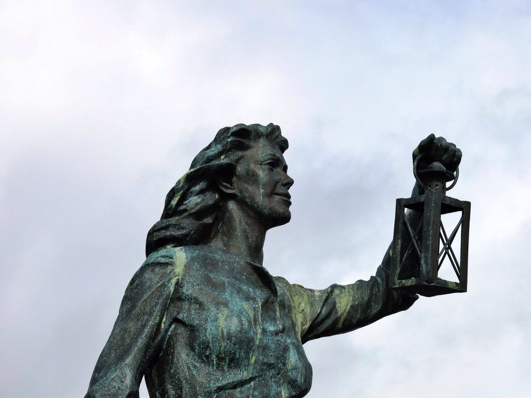
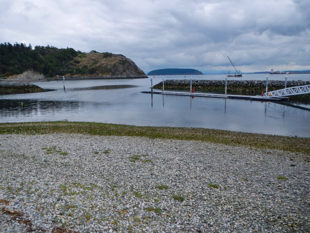
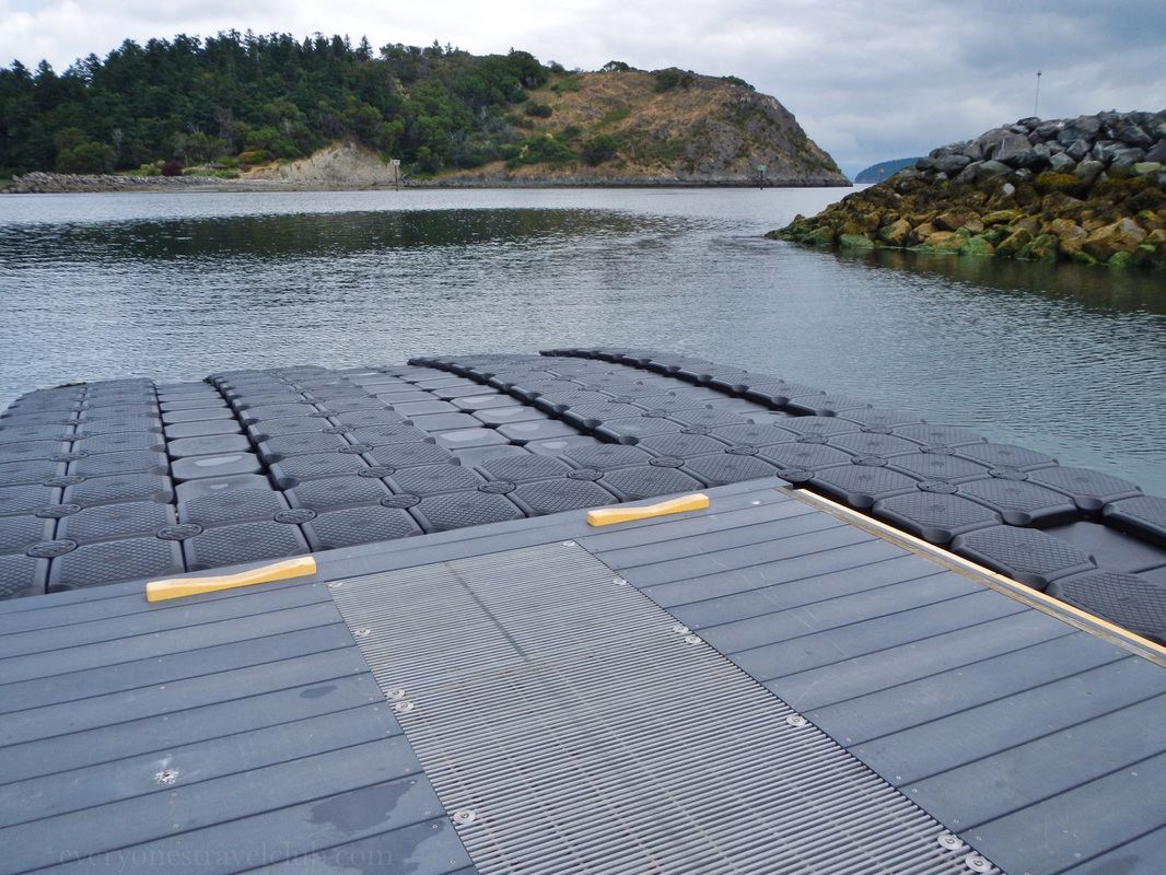
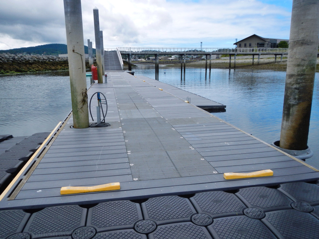
We recently spent some time in Anacortes reviewing an Inn for an upcoming 'Inns you can paddle and sail to' post and got a few good looks at the gorgeous Lady of the Sea sculpture. Located in Seafarers' Memorial Park (map), the lady and child await the safe return of their seafaring loved ones. Deborah Copenhaver sculpted the statue in 1994. The sculpture also happens to sit adjacent to a great small boat launch - perfect for kayaks. With lots of parking close by this is a great place admire the sculpture, pay your respects to the sea and those who have lost their lives to it, and get out [safely] on the water yourself! ~Paul & Amber ETC 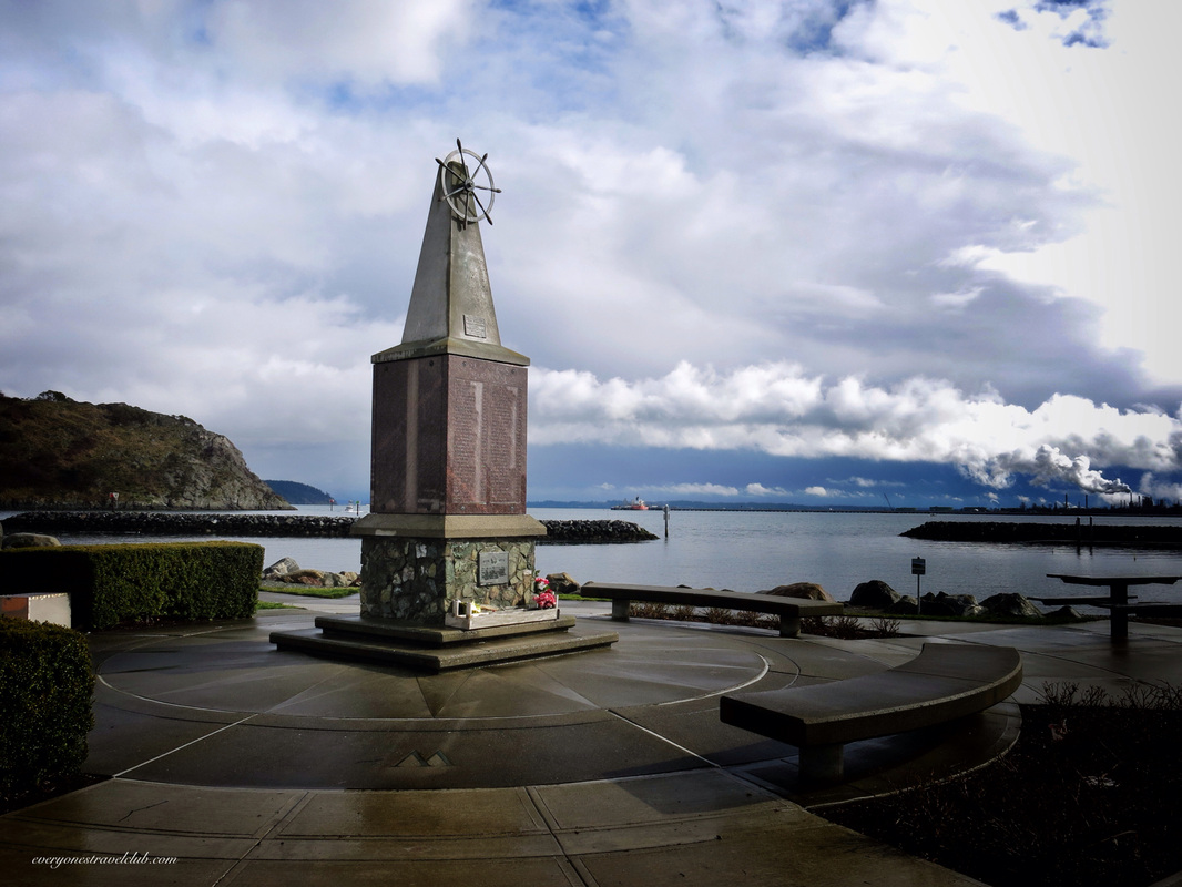
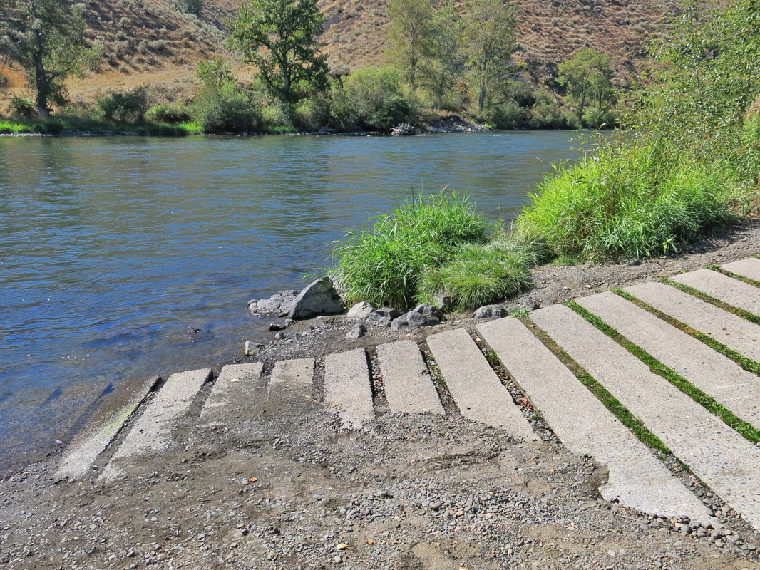
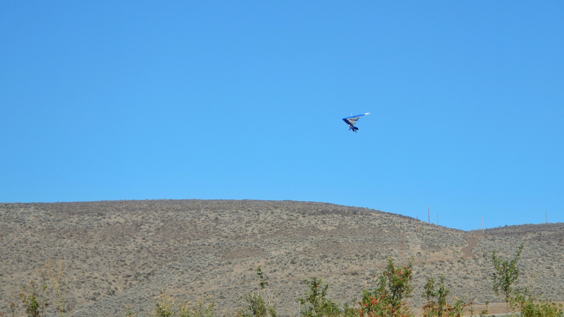
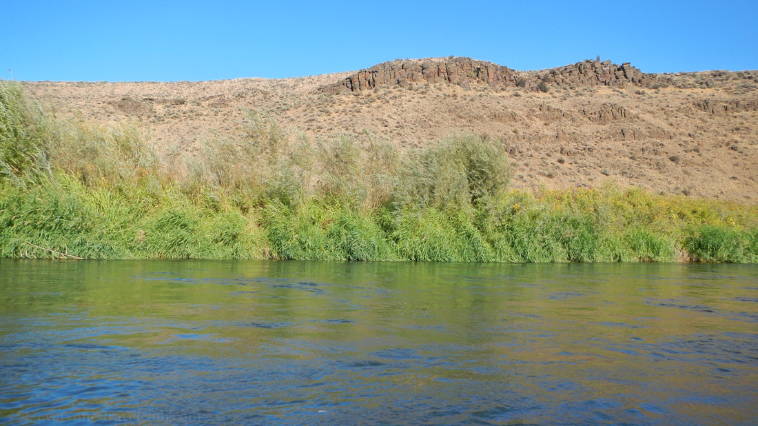
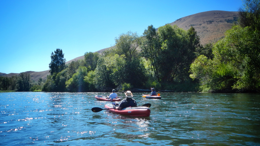
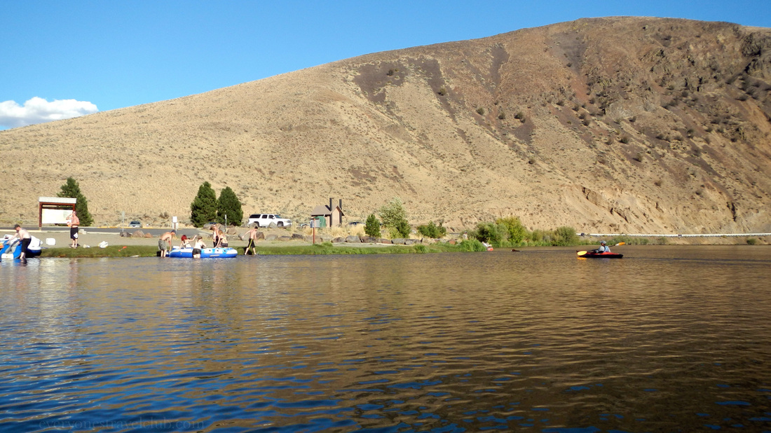
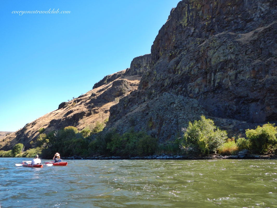 I'm pretty sure there are a crazy amount of Washingtonians who haven't paddled the Yakima River in Eastern Washington. It is one of our favorite 1/2 to full day paddles/floats. It's a blast! The last time we paddled we took the easy route, from Umtanum to Roza (just south of the town of Ellensburg, WA). This time, paddled during last summer, we knew we wanted to do a little more and decided to try Ringer to Roza. 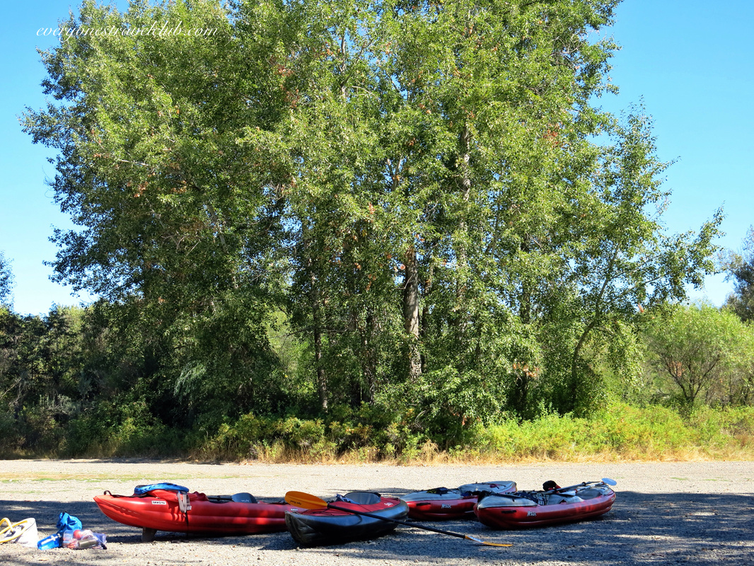 First thing's first, we dropped off people (there were 6 of us on this trip) and gear at the Ringer boat launch (outside of Ellensburg, on Ringer Loop Road, upriver from the Umtanum launch site). Now, there are a lot of ways to do this, but we had half of our team take cars A, B, & C to the end at Roza. The other half stayed and got the kayaks ready to go at Ringer. Cars A & B were left at the end (Roza), and everyone came back (to Ringer) in car C. Car C was left at Ringer. We spent the day kayaking downriver and when we finished we jumped into cars A & B and came back to Ringer and exchanged people/distributed gear back to cars A, B, & C. This worked well with the 6 of us, including our 5 inflatable kayaks...and gear...and refreshments. 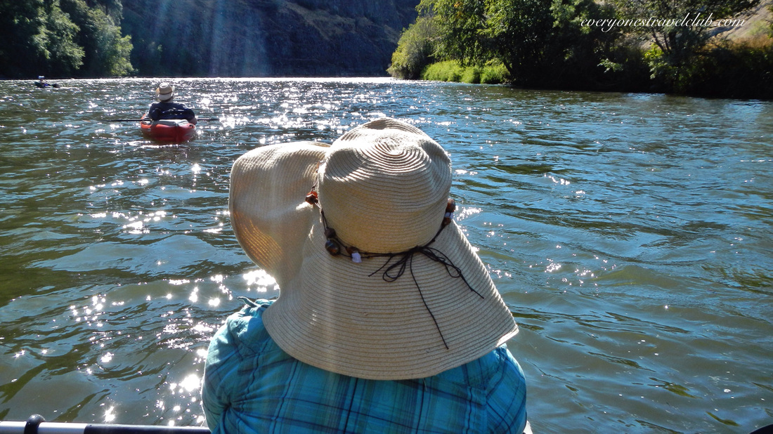 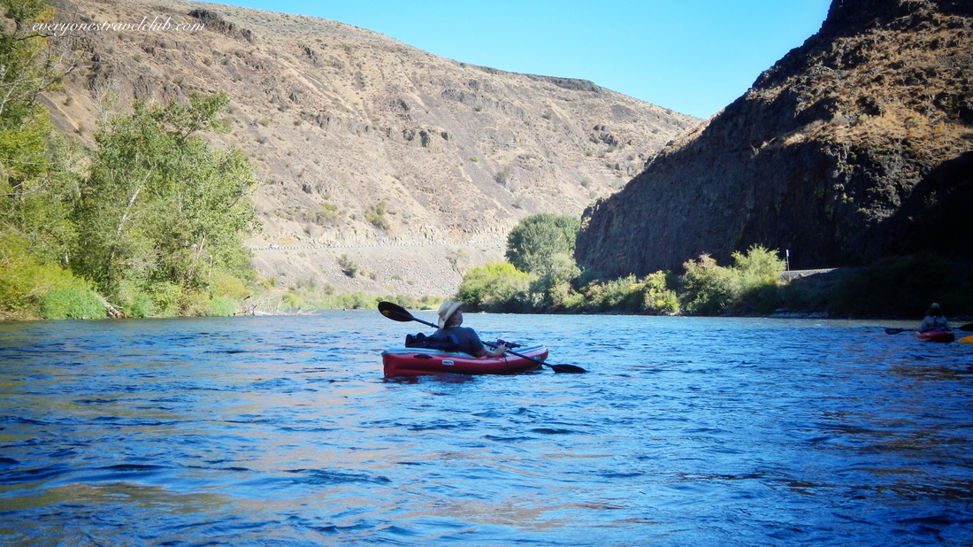 The paddle was a dream - in the summer the air is warm, sun hot, water cool, and the river moves at a pretty normal speed. We paddled the approximately 15 miles from Ringer to Roza in about 5 hours. We stopped once for lunch. If you plan to go it's always a good idea to check the river (here's a greatlink to a handy map and a local company you could contact about conditions). Also, prepare to pay small fees to park at both locations - one is the Department of Fish & Wildlife and the other is BLM...bring a little cash, read the signs and you're good to go! Don't forget your PFDs and just a tip - most folks don't recommend starting any higher than Ringer on this portion of river unless you've got some experience. Taking out lower isn't possible, due to a dam...see you on the river this summer! ~Paul, Amber, Keith, Vic, Mandy, Karl ETC 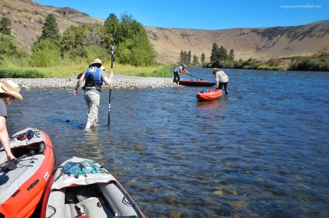 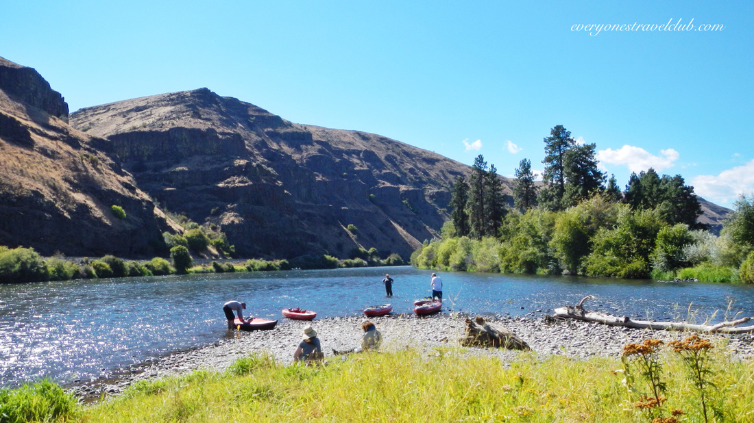  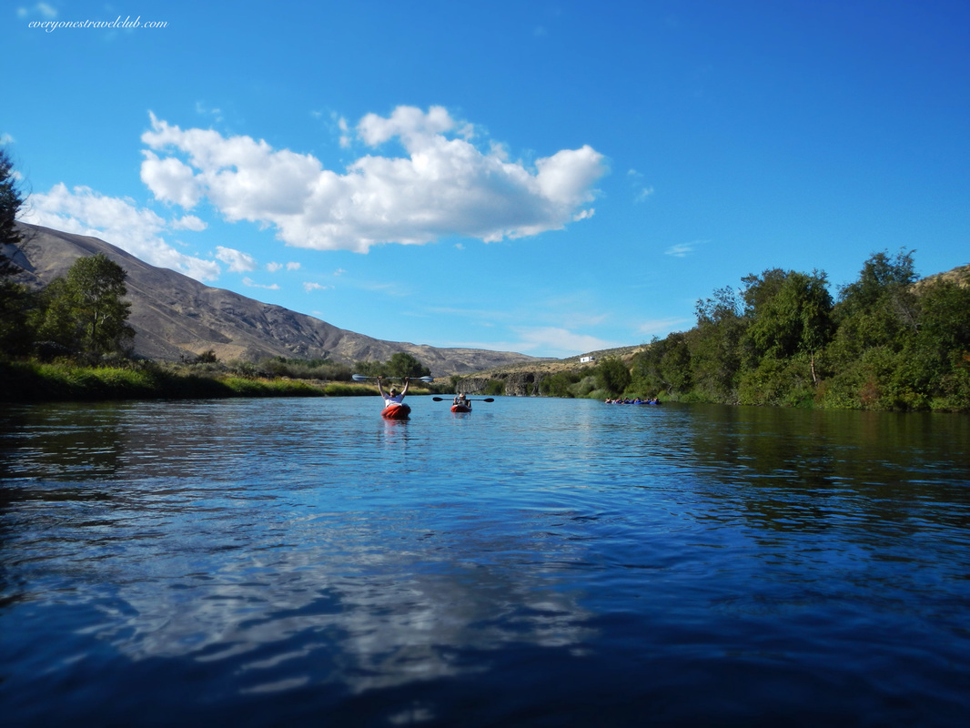 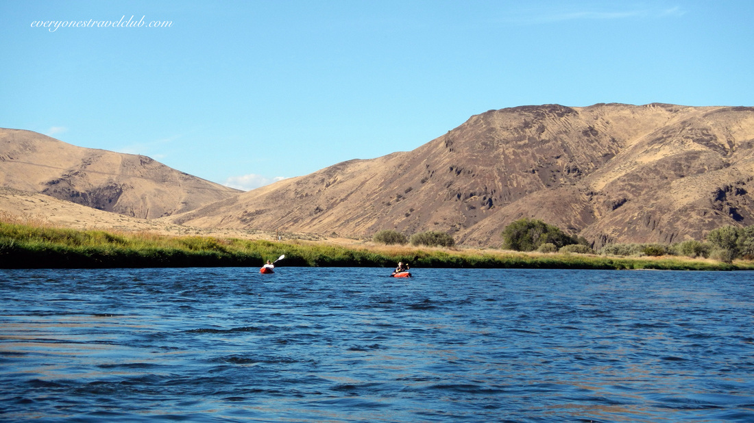 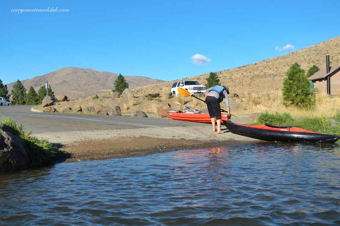 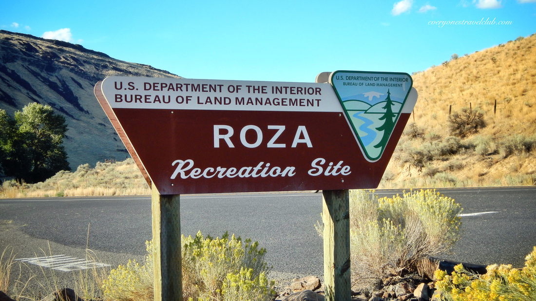 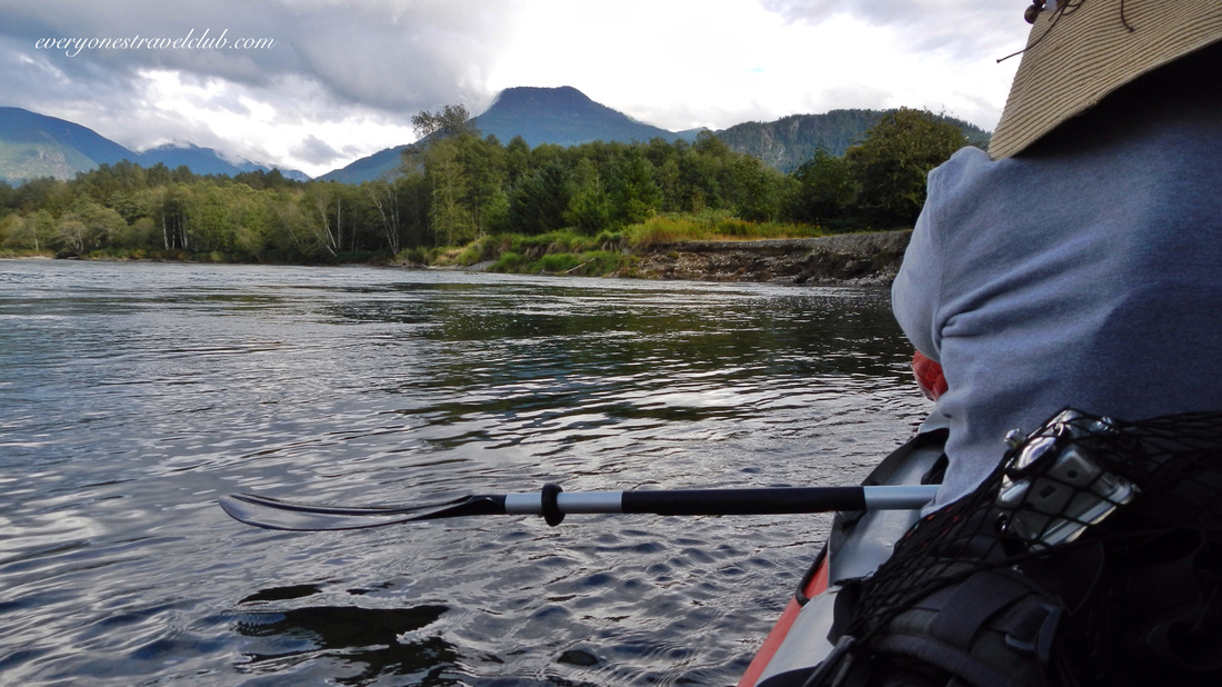
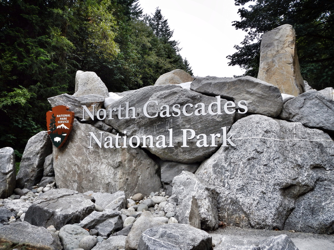
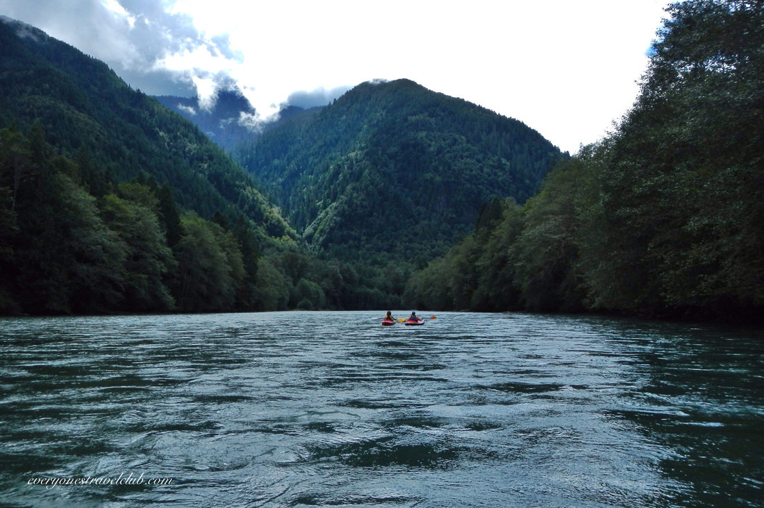
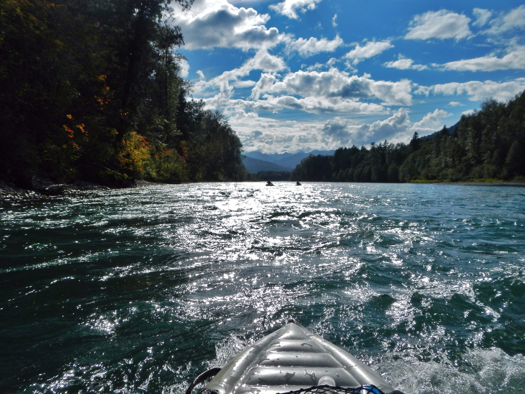
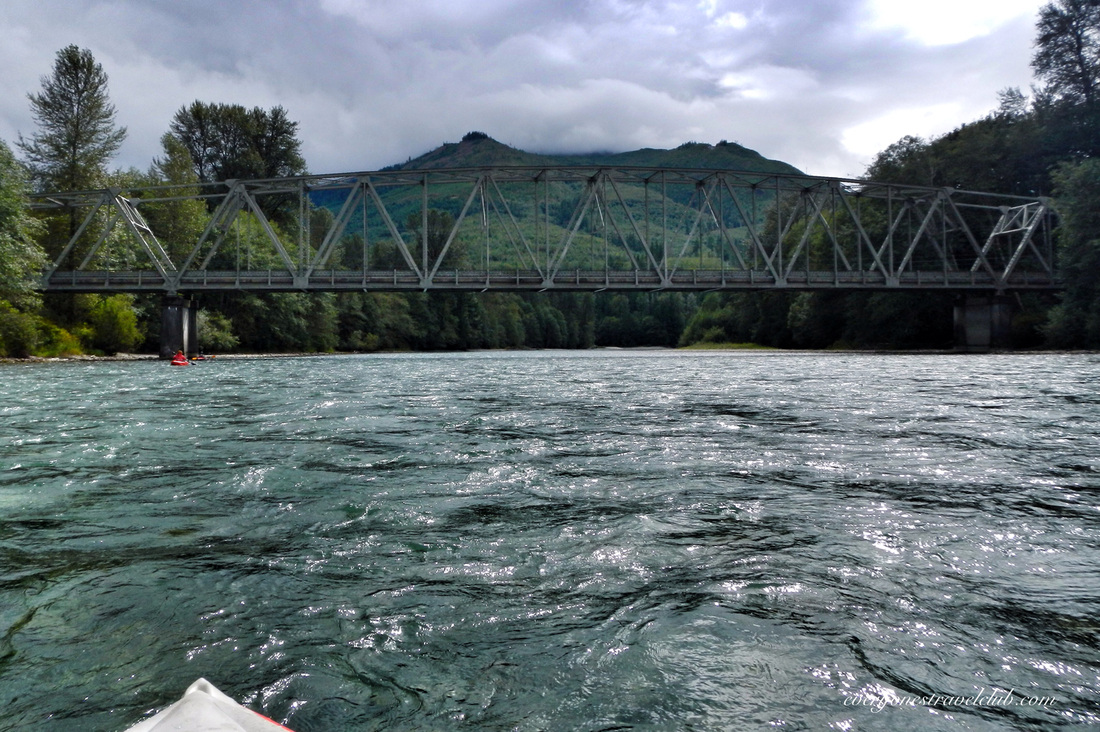
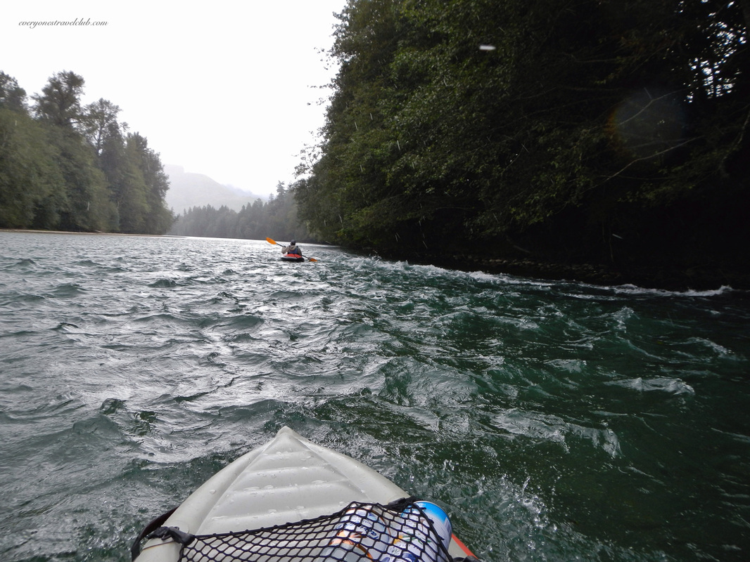
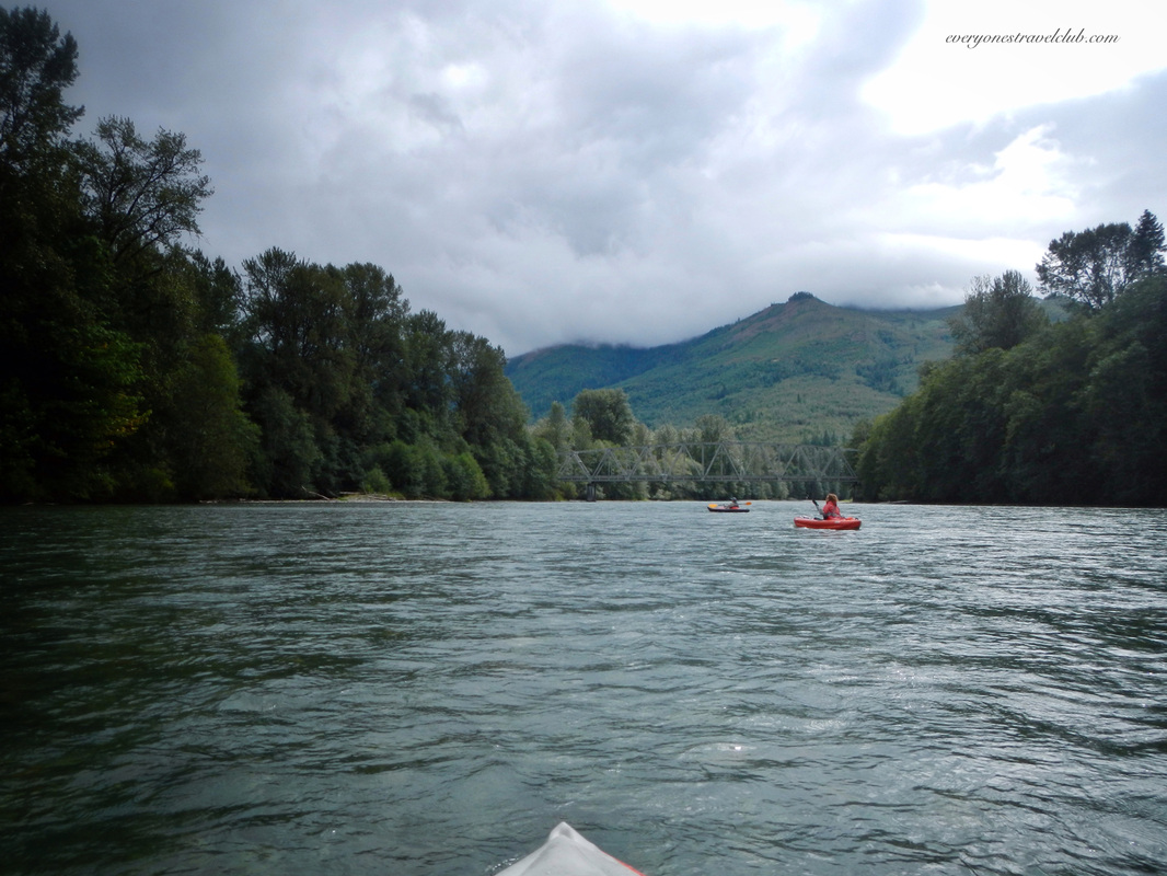
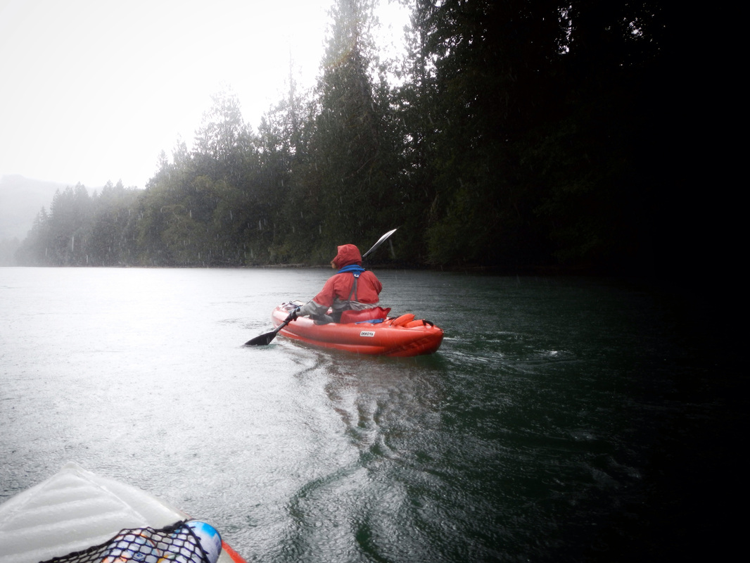
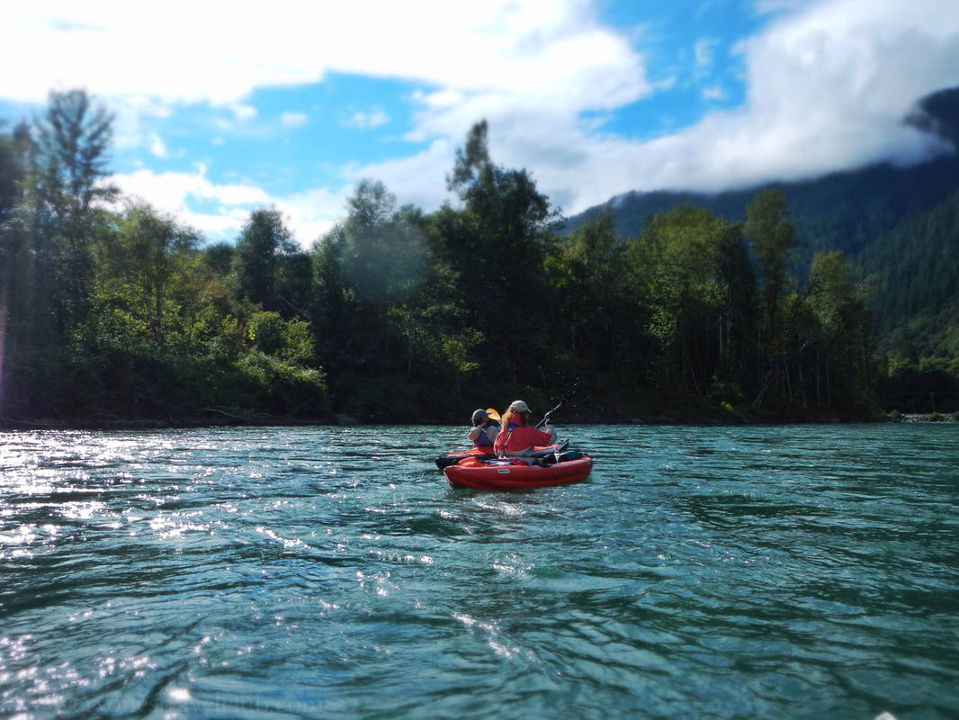
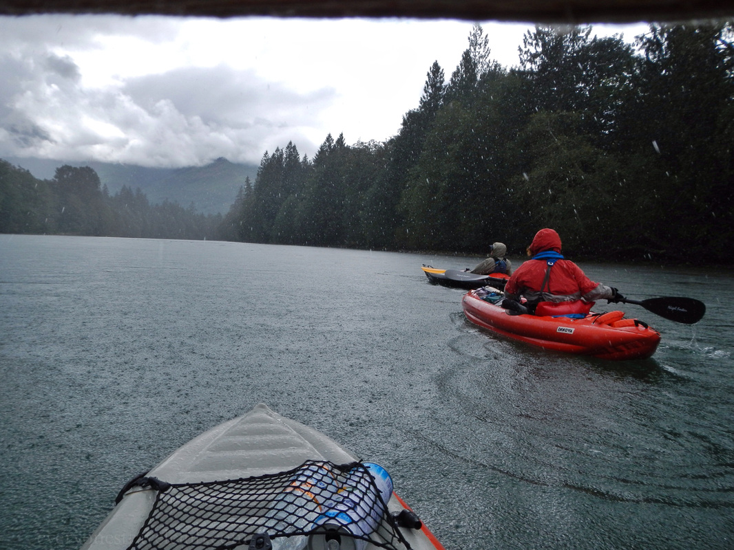
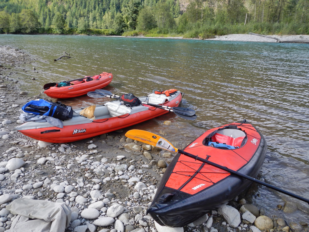
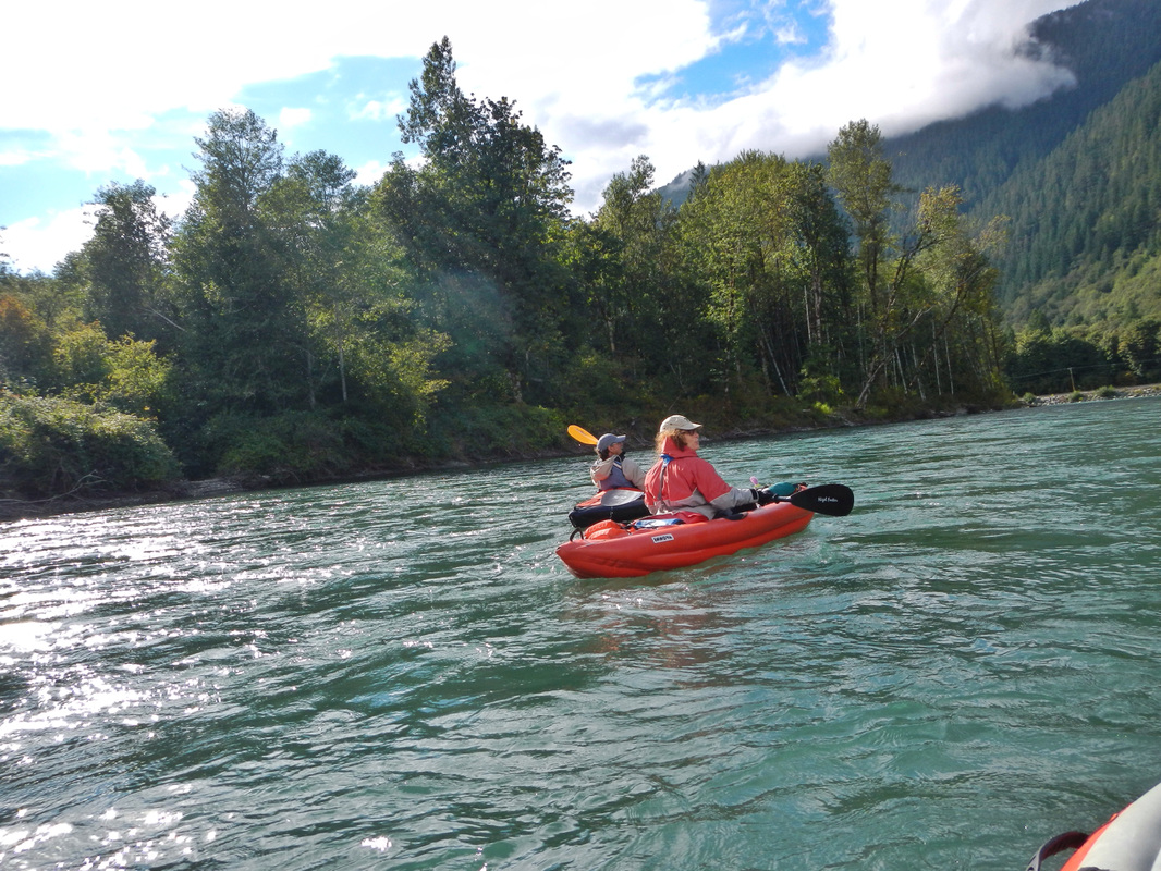
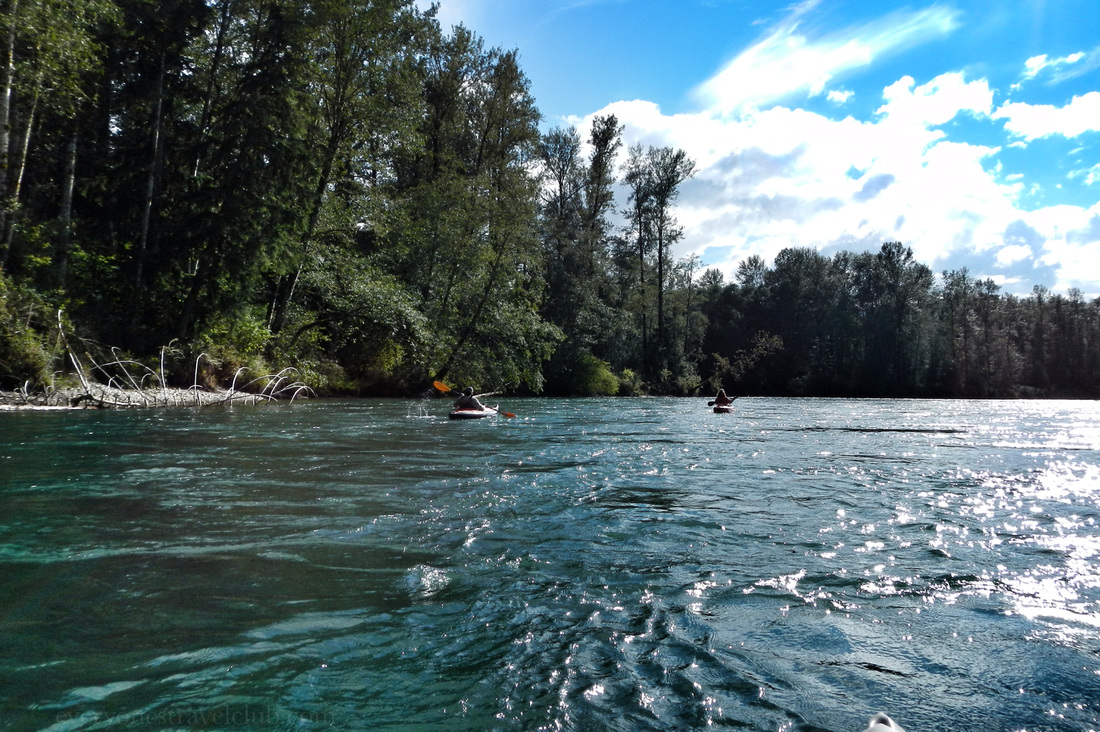
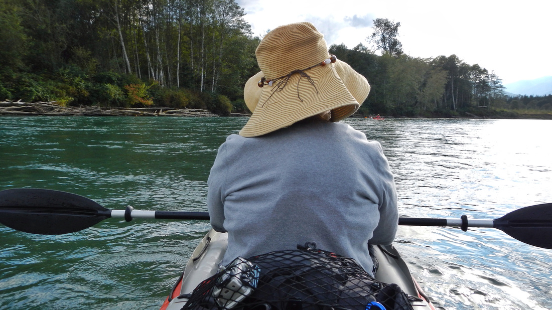
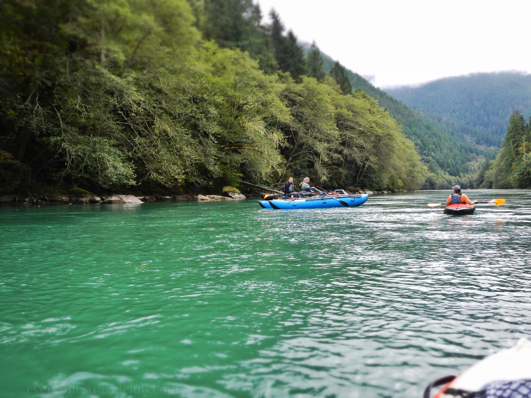
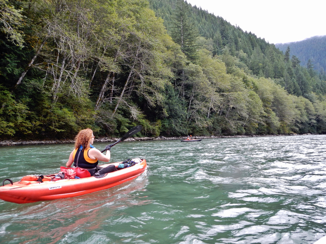
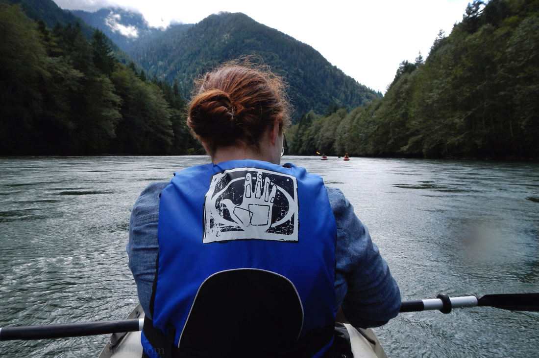
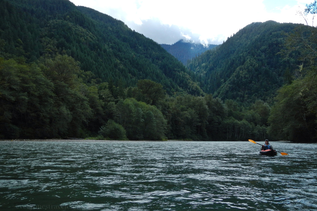
I had so much fun taking pictures on our Autumn paddle of the Skagit River in the North Cascades that I had to share more of them with this quick, mostly photo post. Catch all of the info on this paddle and more in our previous post - we can't wait to paddle this river again! ~Paul, Amber, Karl, Mandy 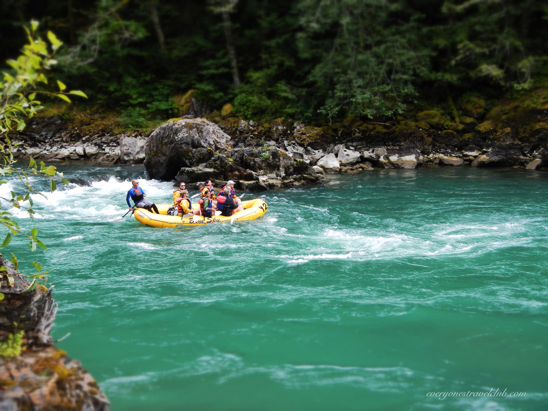
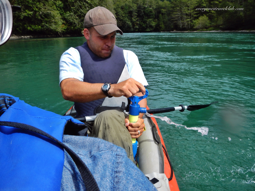
Yours truly pumping out a little whitewater...
|
Follow us on Twitter and receive updates when we post (click the birdie).
 Archives
March 2014
|


 RSS Feed

|
Connect:Contact: |
everyonestravelclub@gmail.com |