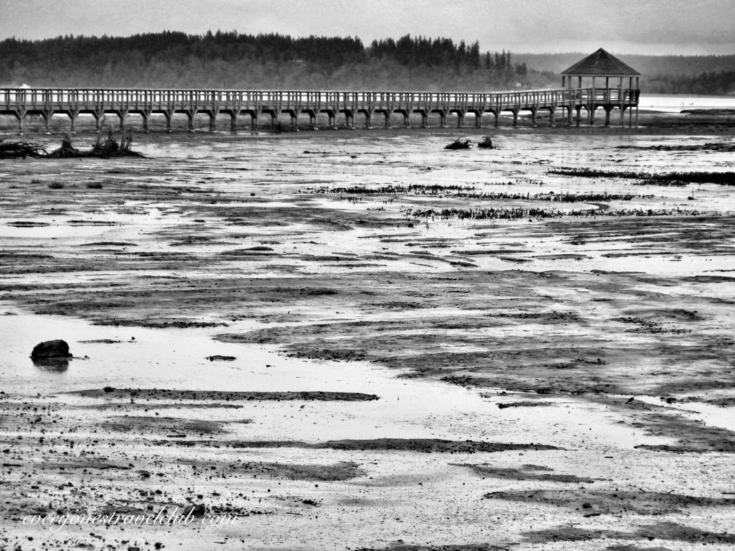
 Lately we've been exploring some of the many parks scattered along the coast of Washington's Puget Sound. We like to visit them in the offseason (it's winter around here), mainly because they're usually free of crowds & traffic. It also helps us out for the upcoming summer - we know where to go, where to park, where to launch a kayak. Also, when I can, I like to see future paddle trips from the land first, it's helps orient things when I'm on the water. When we get home from a day out, I eventually download all of the pictures from the adventure, delete the blurry ones, edit, delete, import, export, move to this app, move to that one, upload, and download. Once I have the pictures organized in article format, I start researching where we've been. That's right. With most park visits: I research after we get home. Now, not all trips are like this - paddling & sailing trips are way different. We check the tides, check the currents, check the weather, check all kinds of stuff. With park visits it's sometimes nice going in ready to hike, ready to learn, ready to take pictures, ready to get lost, but not exactly knowing what's going on. 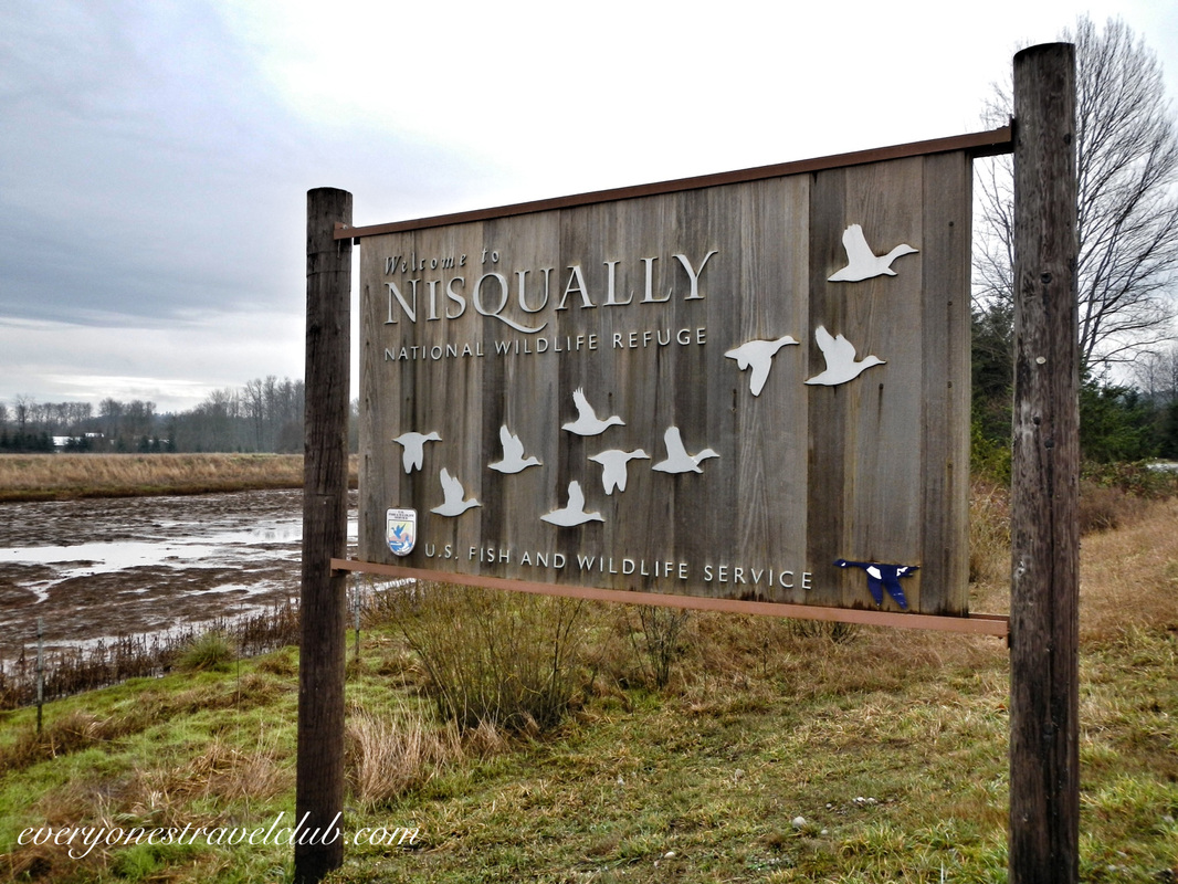 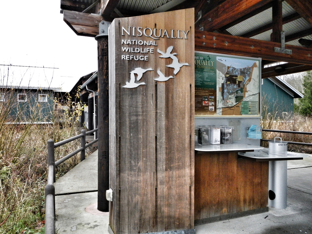 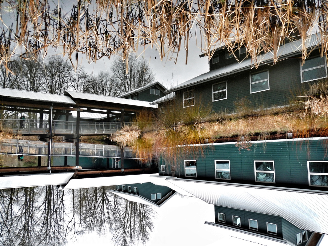 With this in mind we set out for the Nisqually National Wildlife Refuge. Located just off I-5 between Tacoma and Olympia Washington, the refuge is a protected estuary formed by the freshwater of the Nisqually River & McAlister Creek emptying out and meeting the saltwater of the Puget Sound. The Nisqually Delta is biologically diverse - animals all over the place - and is heavily influenced by the tide. I could tell this from the map - the refuge is a giant green spot. From paddling the Skagit & Stillaguamish river deltas I could kinda imagine what it would be like. You can see the refuge in the map below. Just follow the signs off of I-5 to get there, the 'A' on this map is a boat ramp (discover pass required), adjacent to the reserve, suitable for launching a kayak and paddling up McAlister Creek (most of the actual refuge is off limits to boats). 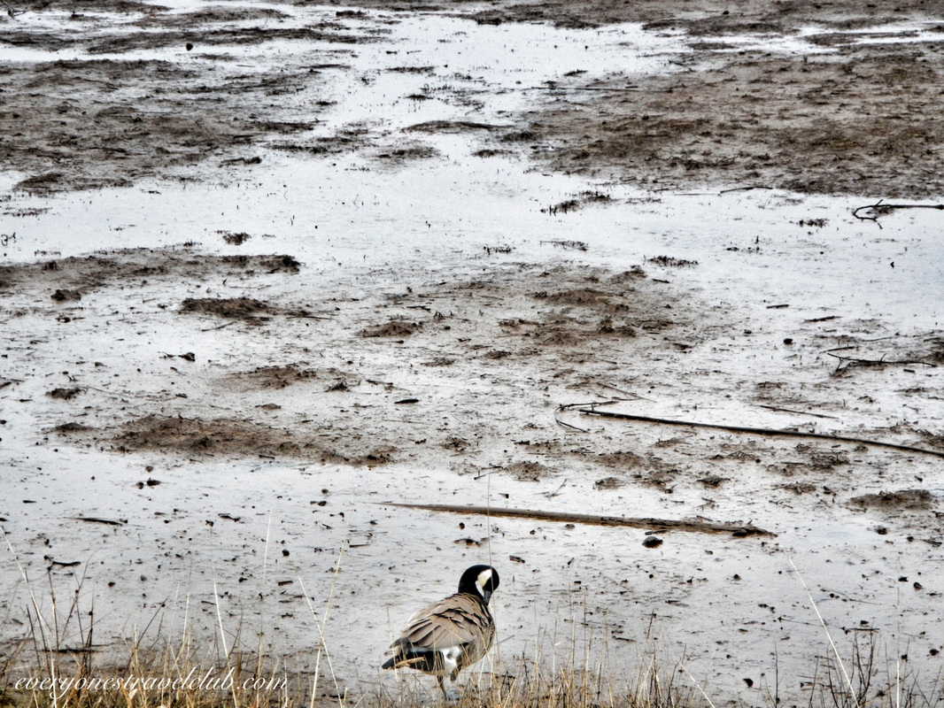 When you arrive at the refuge there is a $3 parking fee and lots of spots (I'm sure it gets crowded on the weekends in the summer). There is a nice visitor center & restrooms. There are a few trail choices - about the most you can go is the 4 mile roundtrip boardwalk trail, it's sort of an out and back. Since the tide is in and out a couple times per day, the Washington Fish & Wildlife department worked to build the boardwalk that takes you out to the far reaches of the refuge. Informational boards are around to give you an idea of what exactly is going on with the thousands of migrating birds, various mammals, amphibians, and reptiles that live and/or frequent the area. 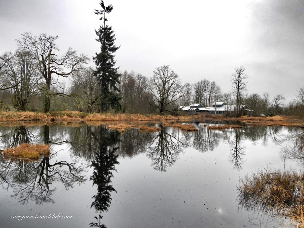 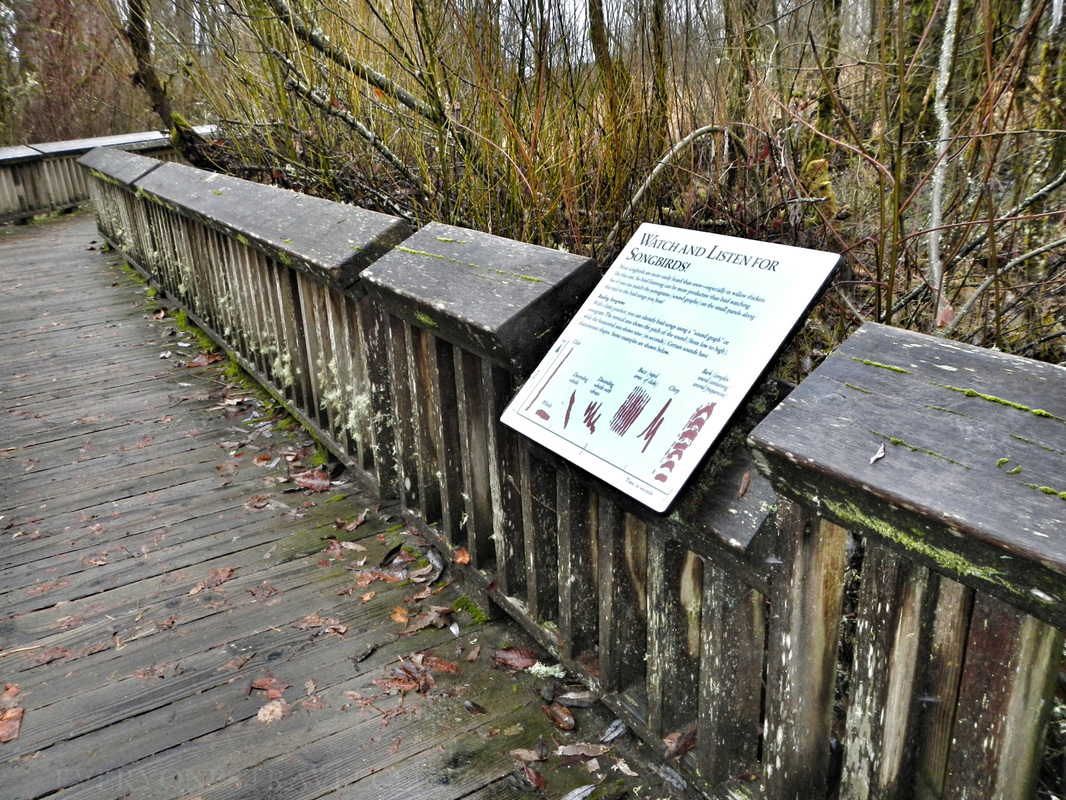 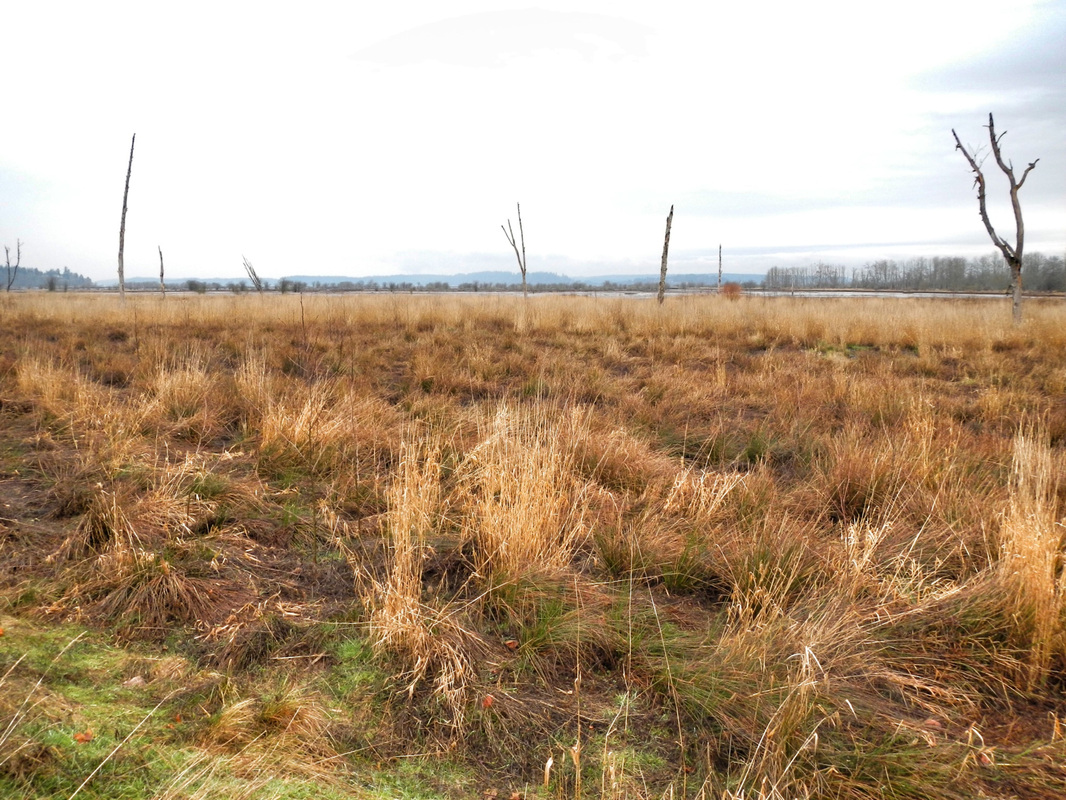 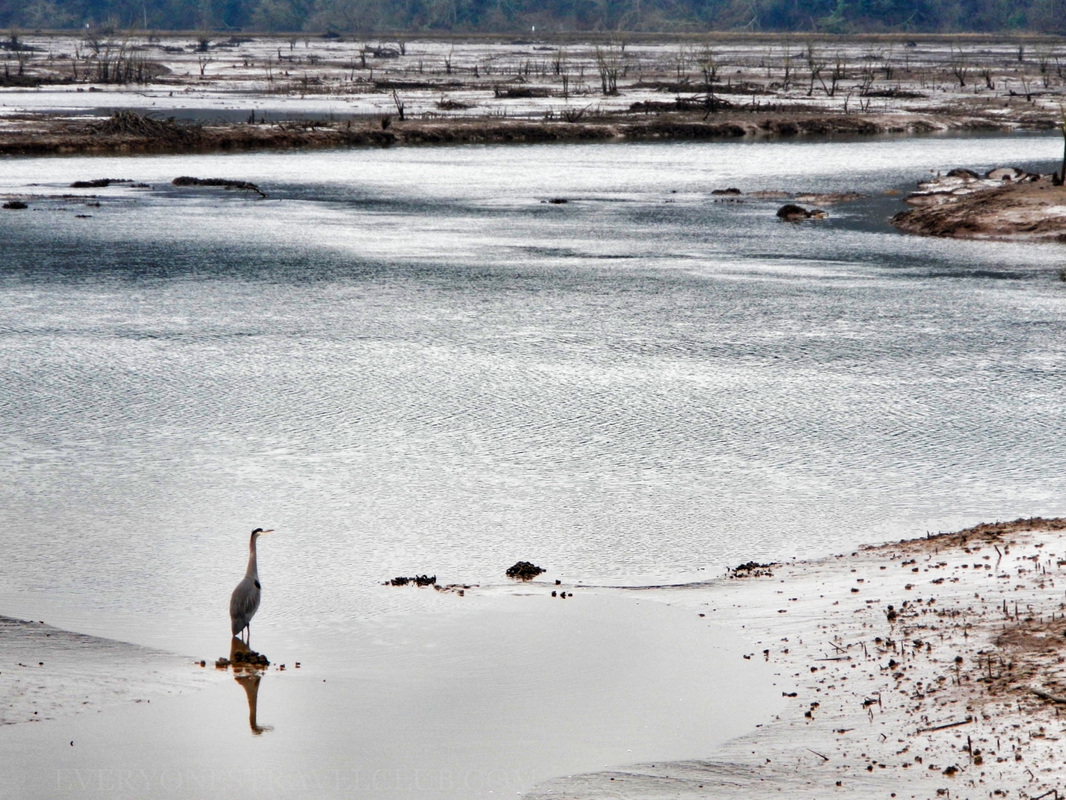 From a paddlers point of view, most of the area is off limits to boats (that includes kayaks). The picture below of a couple canoeing is from McAlister Creek - located adjacent to the refuge. A nearby boat ramp gives great access to the creek. Personally, I'd wait until waterfowl hunting season is over to paddle around here just to be safe…or at least wear some orange? The season in WA usually happens October-ish to February-ish. Here's a link with more info. 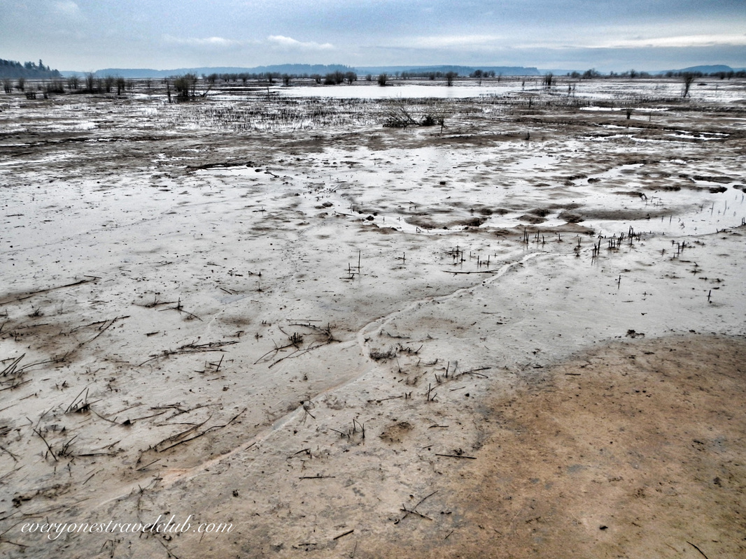 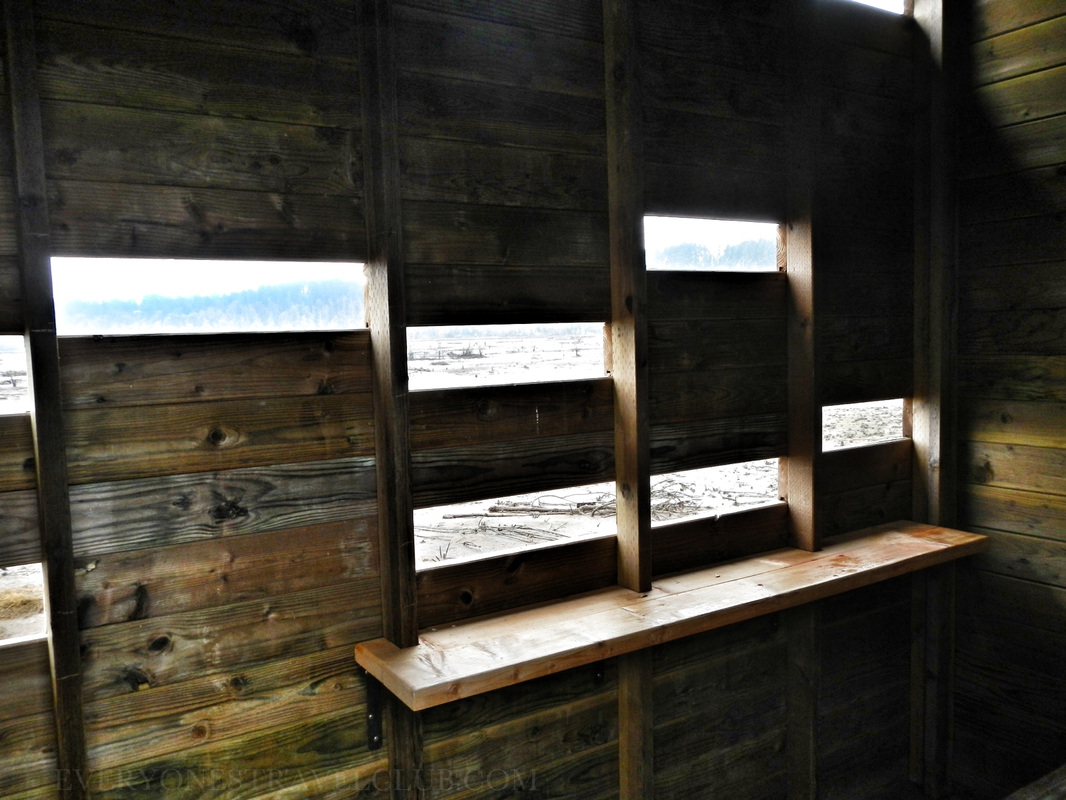 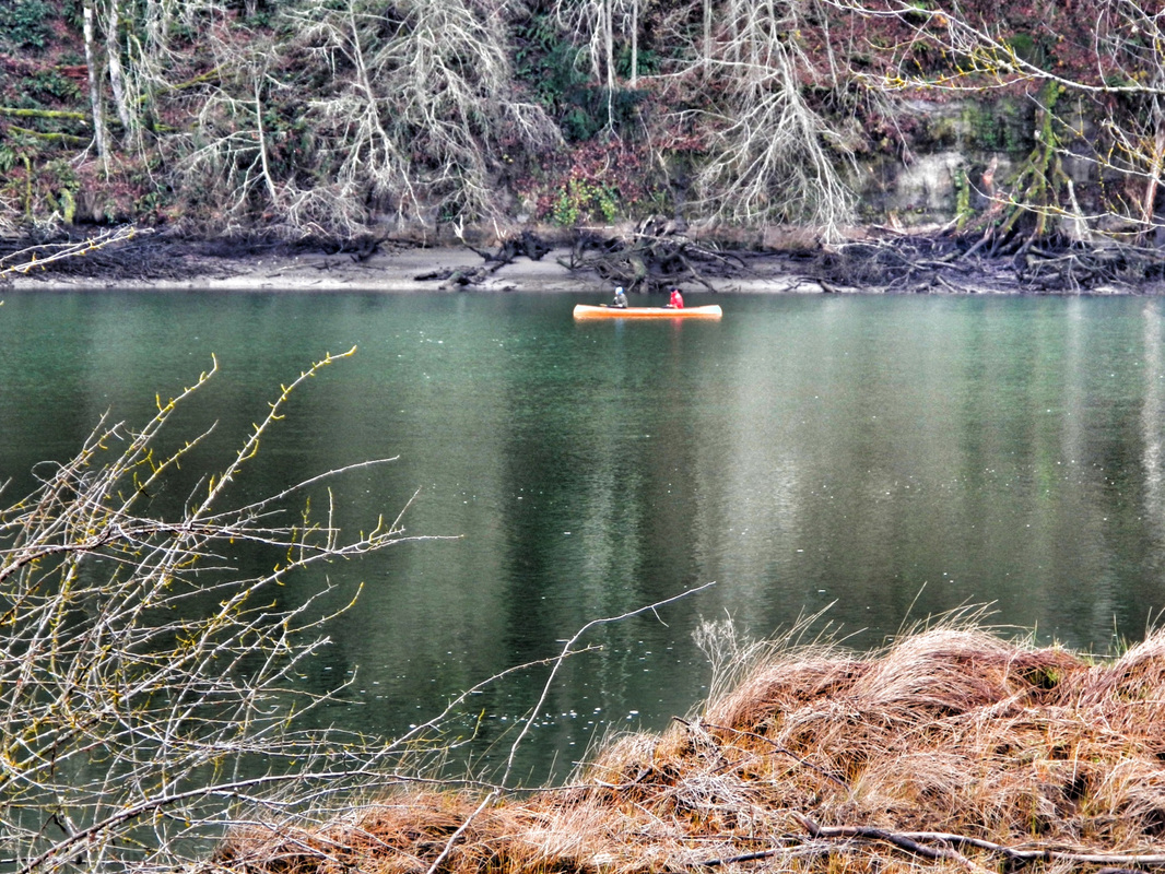 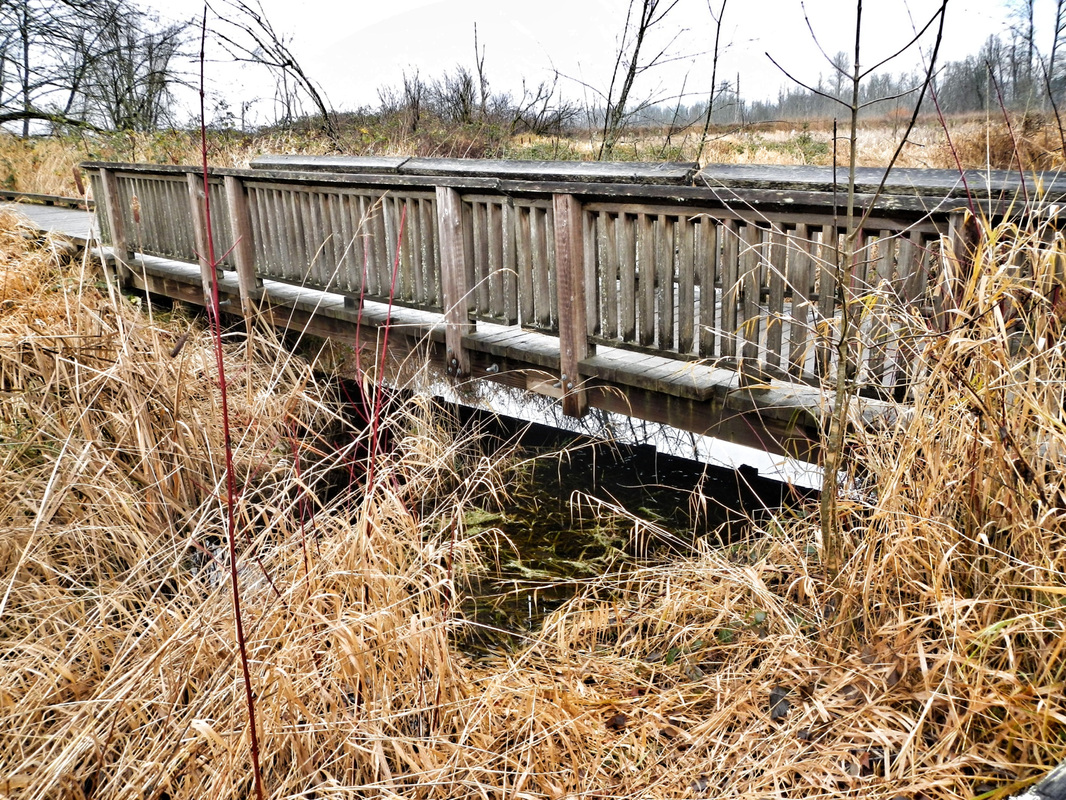 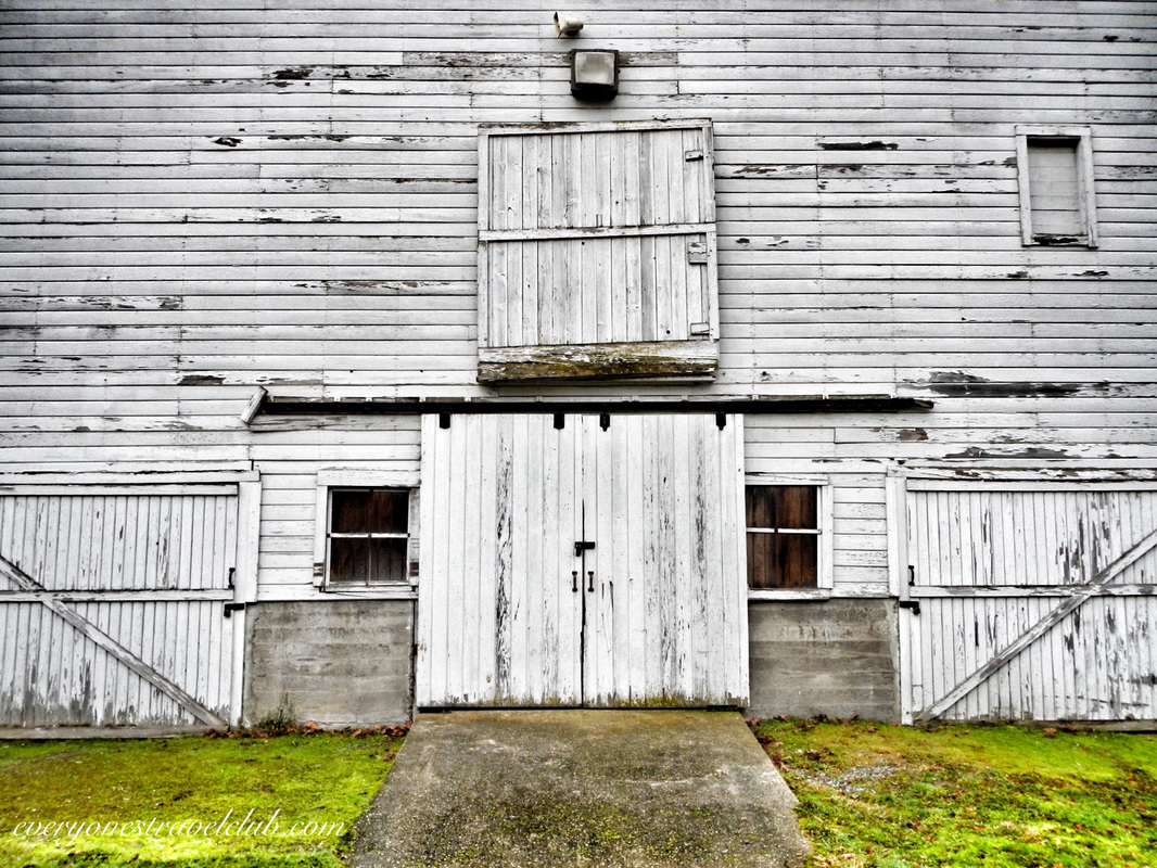 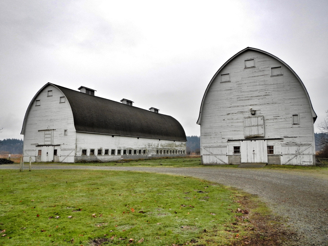 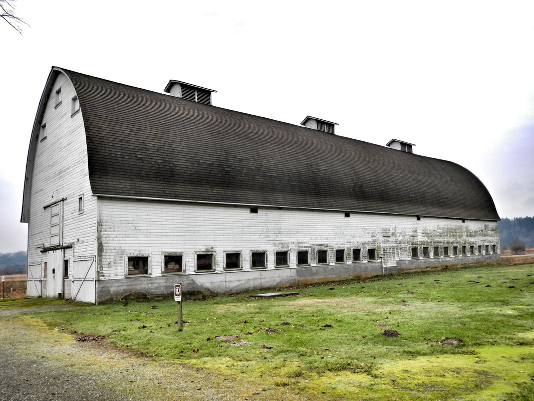 That about covers the facts, what did I uncover post-visit about the history of the place? Well, let's start out with a shout-out to the Nisqually Tribe who have lived & fished salmon on the Nisqually River for…wait for it…thousands of years. (the river starts miles away on the south side of Mt. Rainier, otherwise known as Volcano Rainier). Just step back and think about that for a minute. Thousands of years. Enter the white man in the mid 18oos and a treaty that was eventually signed between them and the Nisqually tribe. Actually, we are pretty sure that Chief Leschi (Leschi neighborhood of Seattle anyone?) of the Nisqually didn't, or at least didn't want to, sign this treaty - called the Medicine Creek Treaty (P.S. Medicine Creek is now called McAlister Creek - the one in the picture above with the canoeing couple). At any rate, the tribe was relocated and the white man obviously settled. There's also now a military base on part of the tribal land. I think we can, if anything, at least know and respect this history while playing/walking/taking pictures/kayaking/hunting on the Nisqually. 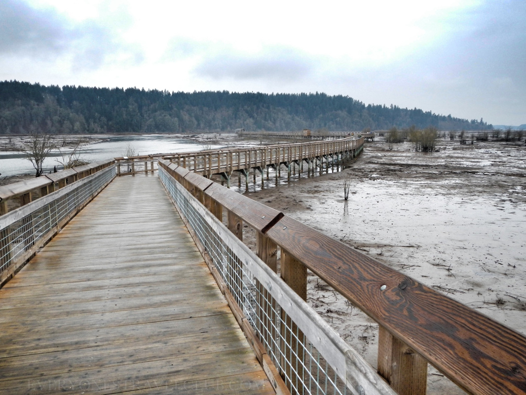 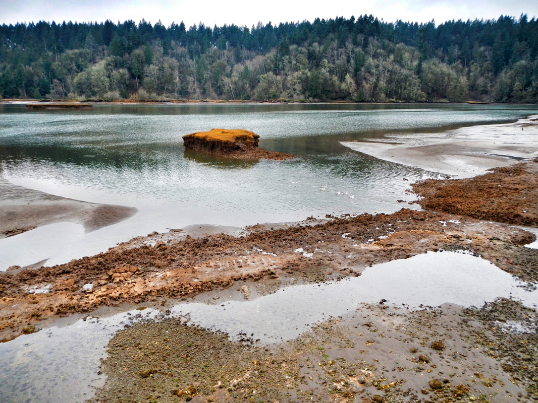 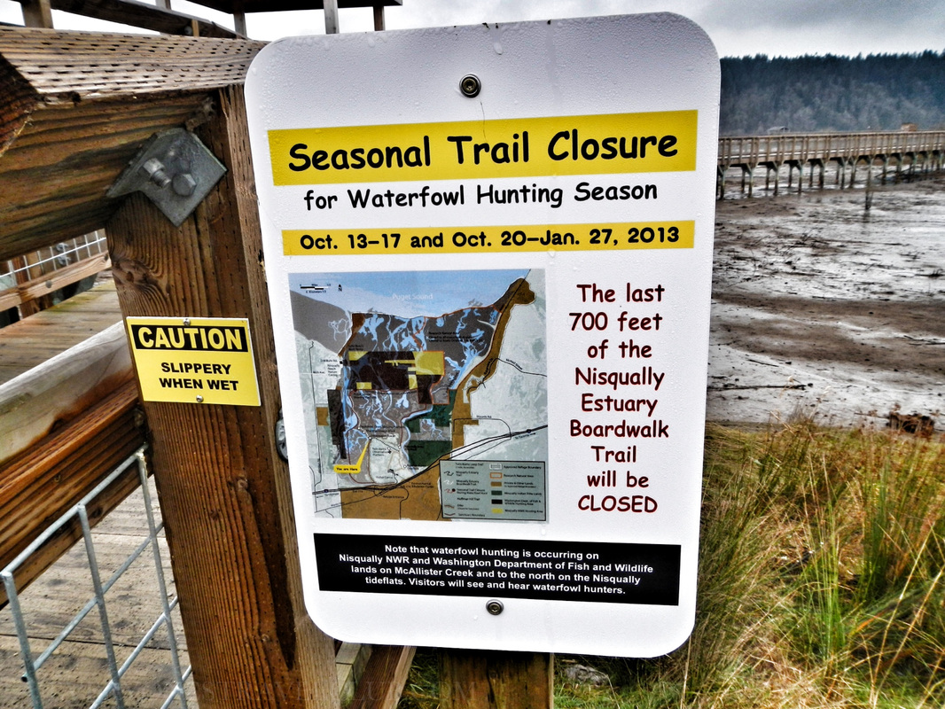 That's a wrap! We highly recommend checking out the Nisqually National Wildlife Refuge. Take a lunch - there are plenty of tables for a break. Take a zoom lens for your camera & binoculars too. Word on the creek is there are snowy owls there right now! Check the tides before you go if you want to see the mudflats (mudflats sometimes = better birding). If you want to kayak near the reserve, use the boat ramp adjacent to the park (the map at the beginning of this post). When you're there, imagine the thousands of years that people have lived on this delta & river…amazing stuff. Oh ya, if you see one, don't kiss the poisonous newts. ~Paul & Amber ETC 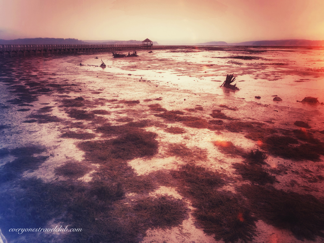
0 Comments
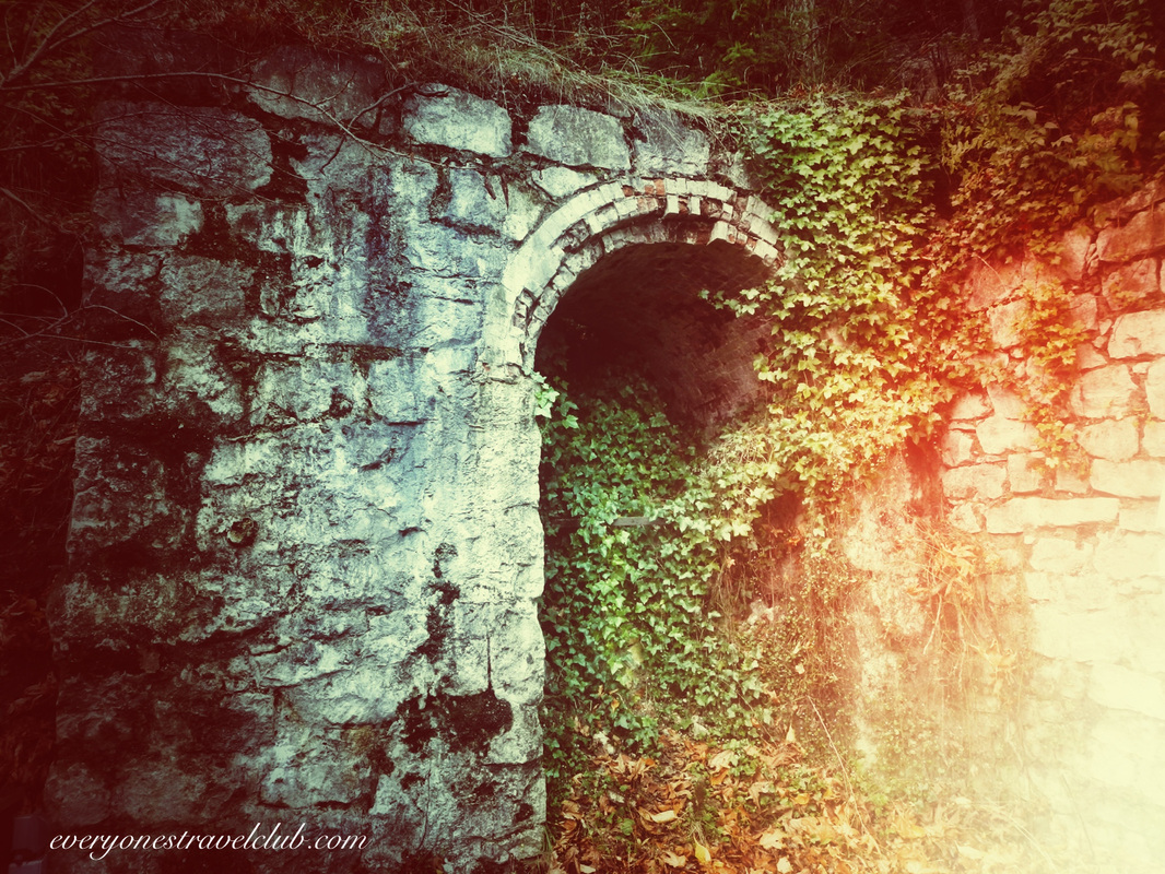
Part of a historic lime kiln in Roche Harbor
As we continue to explore Washington state's San Juan Islands for an upcoming summer paddle, we had to stop by Roche Harbor. Located on San Juan Island, Roche Harbor has a lot going on. It is a popular port of entry for boats entering the US from Canada, especially in the summer. The historic buildings and lime kilns are what's left of a once thriving lime business - the company once upon a time shipped island lime to major west coast cities (read more about the industry in another ETC post here).  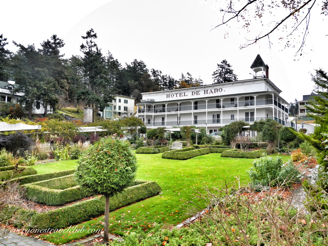 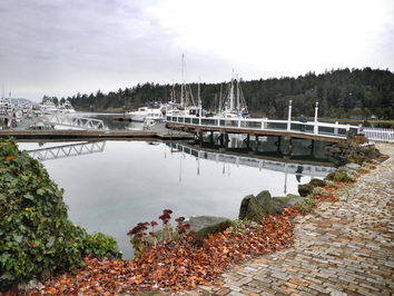 If you head to Roche Harbor by car like we did, you'll arrive in 'town' after you drive under a big resort sign. We actually avoided the road at first - not knowing anything about the history of the Harbor - but eventually had no other choice, there is pretty much just one road. "I don't want to go to a resort," I said to my wife. "I want to go to Roche Harbor - the town." Well, it turns out the resort is the town. The town is the resort…hmmm…interesting. The details of how this town/resort came to be is best explained here & here. It's quite simple really. What you've basically got historically is a late 1800s British/American border feud that escalated into a full-blown pig war (with apparently only one casualty…uh…the pig), mixed later with a discovery of precious limestone and land claim by a Tacoma dude ("there's lime in them hills!"), a later purchase of the grounds by a family who started making the marina nice and welcoming guests, and then another purchase of the same land by some Seattle business folks who have really made the resort into, well, a resort. Roche Harbor went from native land, to a pig war zone, to a bustling lime operation, to a boatel (before the old hotel was refinished), to what it is now - a great marina and resort village with condos sprinkled amongst ruins & a few 100 year old buildings (including the iconic Hotel de Haro).   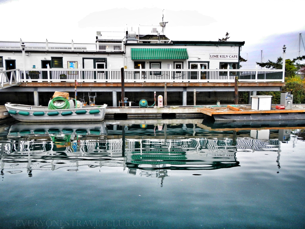  Stuff to do. In the summer - tons. Check out the link here to see the varied activities available at the resort (we didn't see too much of this stuff, we were there in the winter/off-season). The things that concern us are the kayak launch area at the marina docks - it looks great - and the trail system that connects the resort to nearby British camp and beyond. We plan to return to check out both the British & American camps on foot - a pretty extensive trail system makes it all happen. The other thing we somehow missed? The creepy - I mean interesting - mausoleum of the former Lime company founder from back in the day (read about it here…guess who's ashes are locked in the seats of the chairs?). Maybe we'll check it out at the summer solstice and see if the light on the table rumor is true…oh ya - by the way, there is a light on the table rumor...interesting. 
So much history! I'll admit - once I found out the town was actually a resort I almost wrote it off as, well, a made-up town that is just a resort (Seaside Florida anyone?). After reading up on the history behind the place I am officially blown away. I know we'll be back on foot and by kayak. You should go too! Meet you at the mausoleum at solstice? ~Paul & Amber ETC www.rocheharbor.com 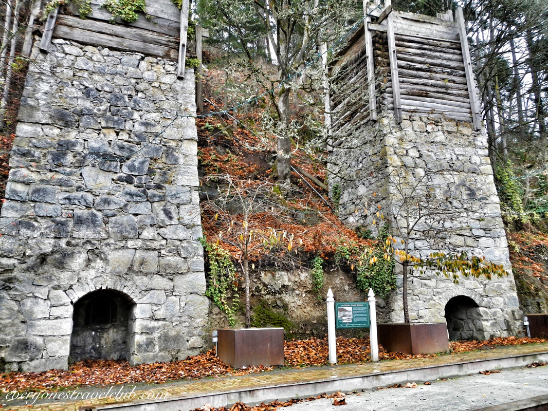      |
Follow us on Twitter and receive updates when we post (click the birdie).
 Archives
March 2014
|
 RSS Feed

|
Connect:Contact: |
everyonestravelclub@gmail.com |