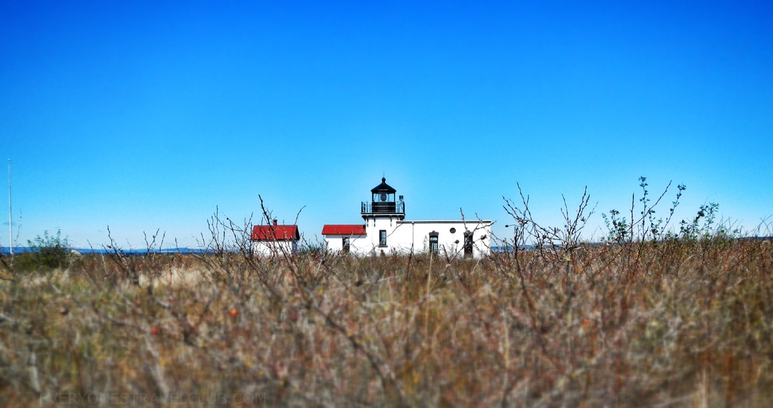
 On a recent trip to the Olympic peninsula we decided to pull off from our normal drive (Bainbridge or Kingston ferry then up and over) and check out the Point No Point lighthouse. I had sailed by it many times before so I thought it'd be nice to see it from the land...and it was! 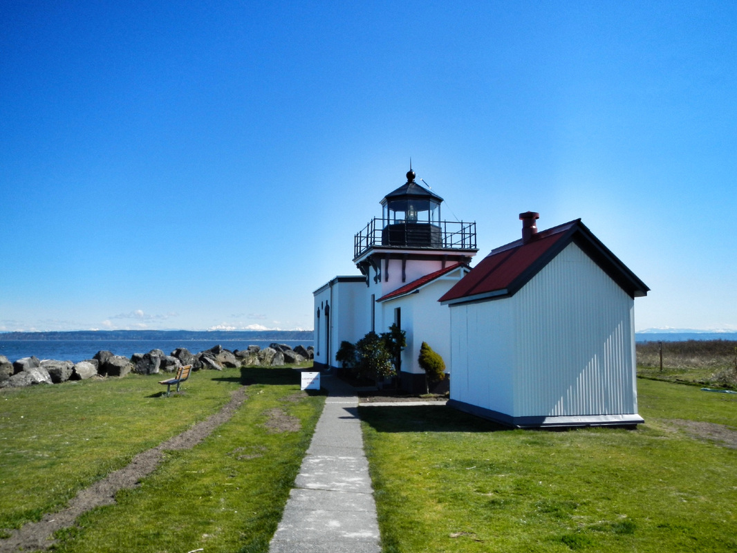 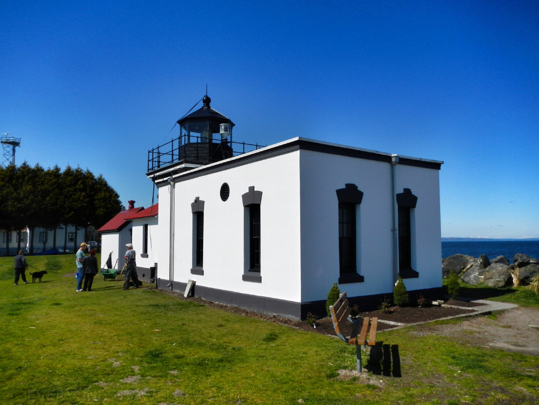 We toured the mini-museum and gift shop, checking out the old lights that used to be in the lighthouse (it's owned by the park & rec now). We also noticed you can rent out the old Lighthouse society headquarters building next-door...sweet. 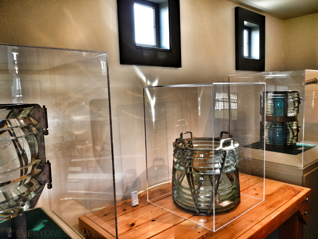 Afterwards we hiked a little on some trails in the nearby woods and on the sandy beach at low tide. There is a little bit of a sandy spit here that jets out into the water - early (white) explorers thought it was more of a point than it turned out to be...a-hem...Point No Point. To top it off - it was sunny...in the Northwest! ~Paul & Amber ETC 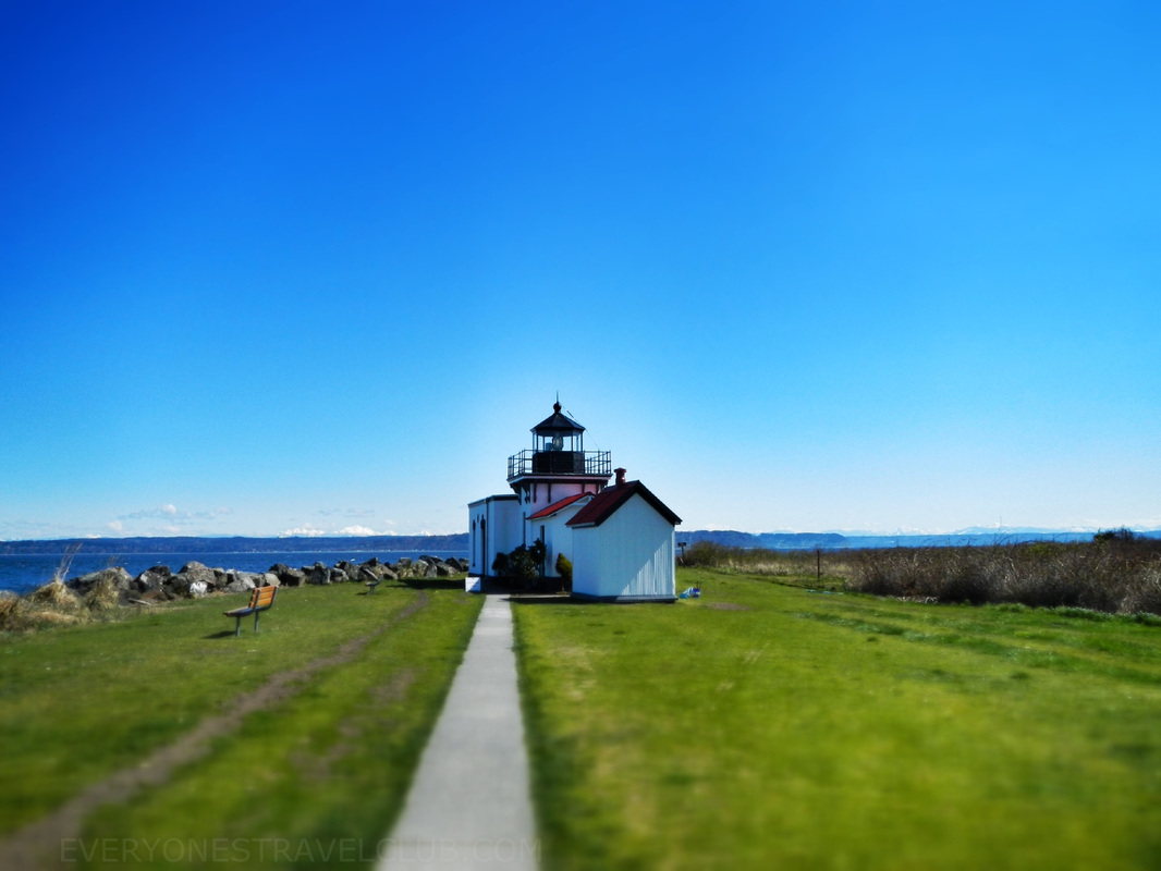 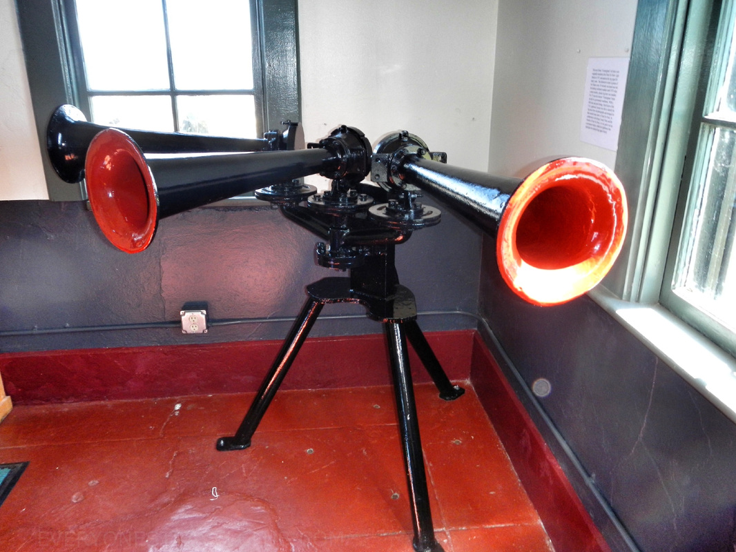 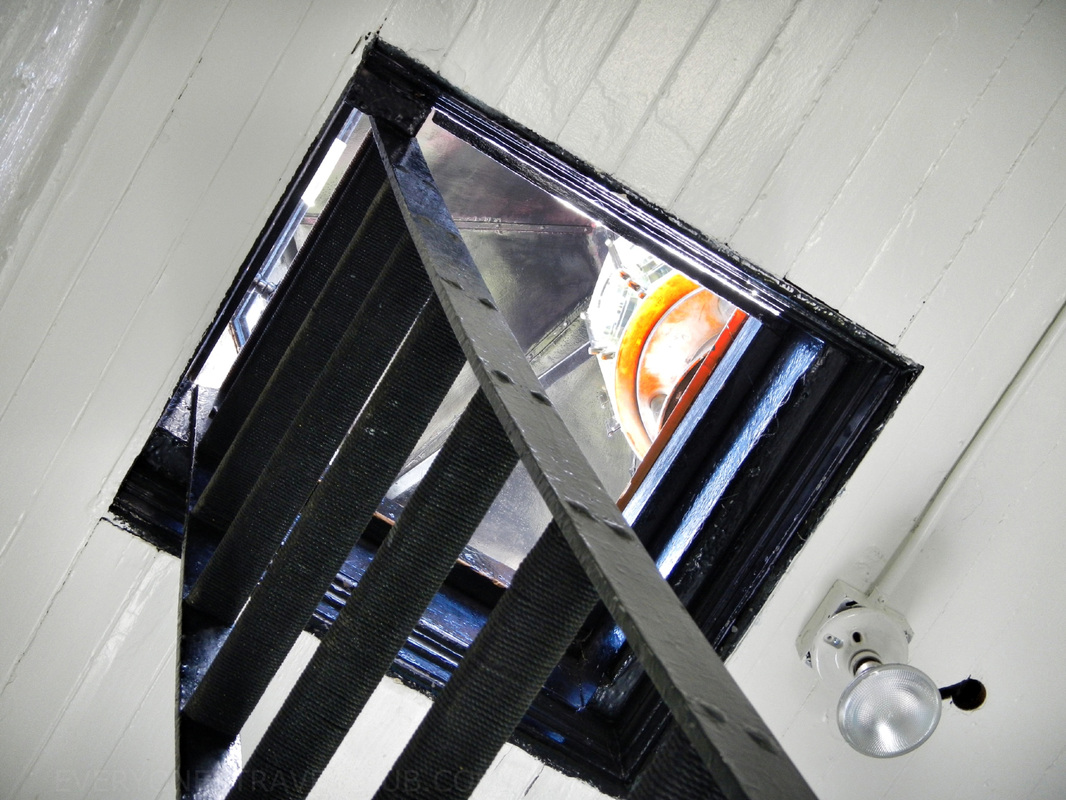 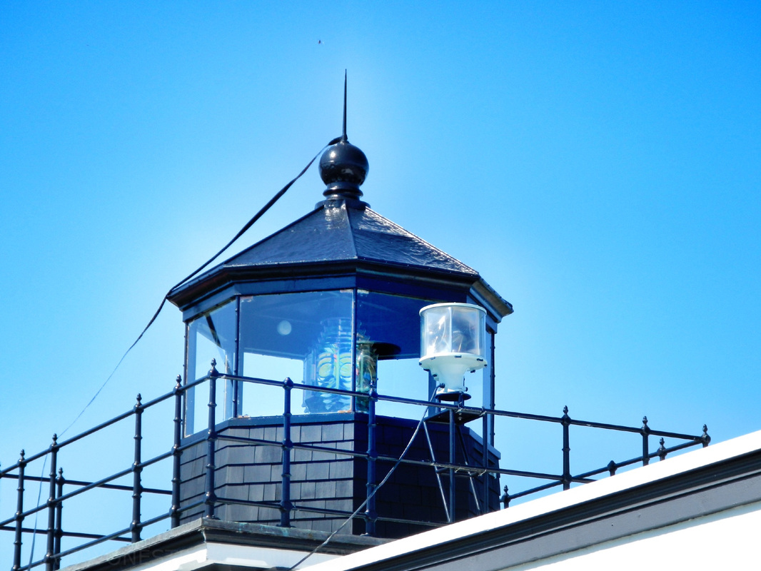  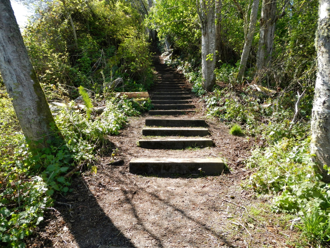 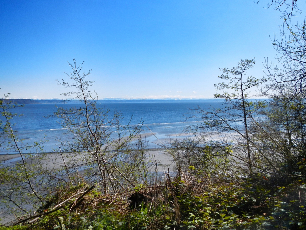  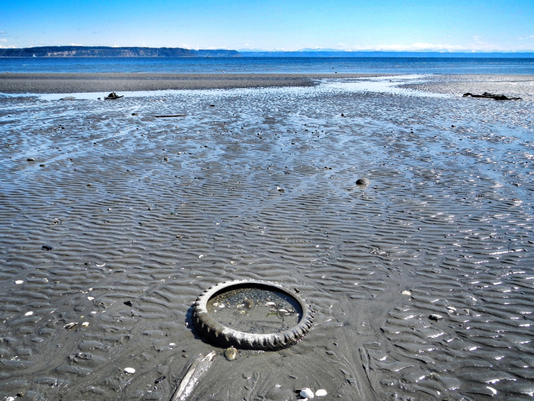 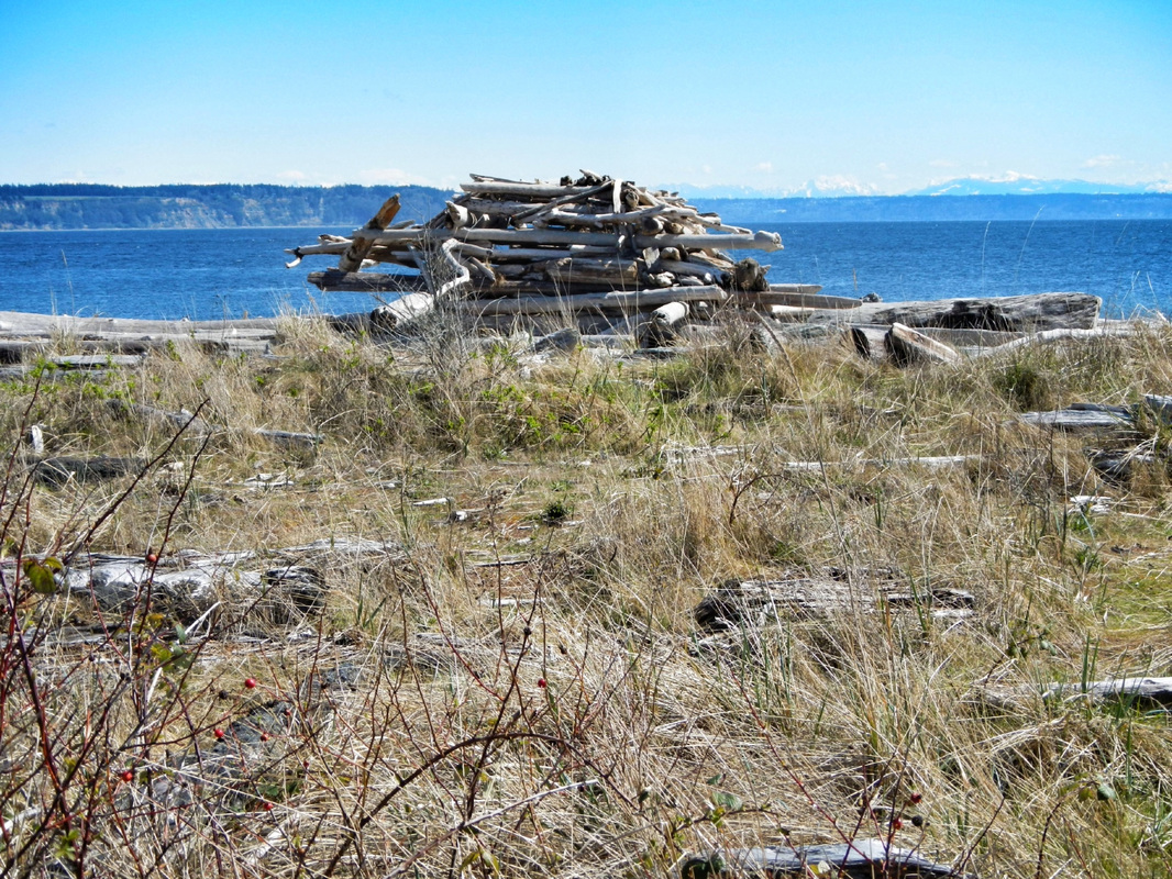 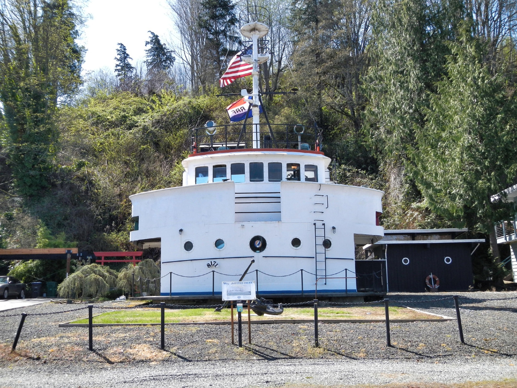    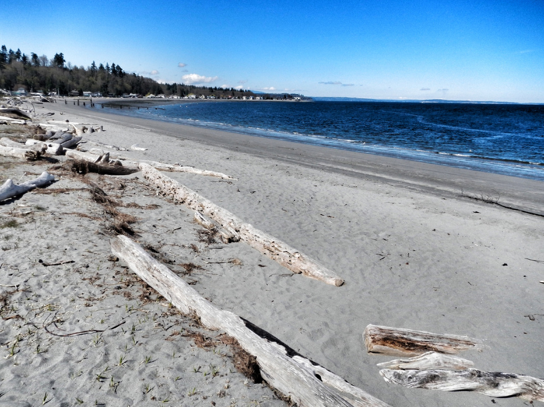 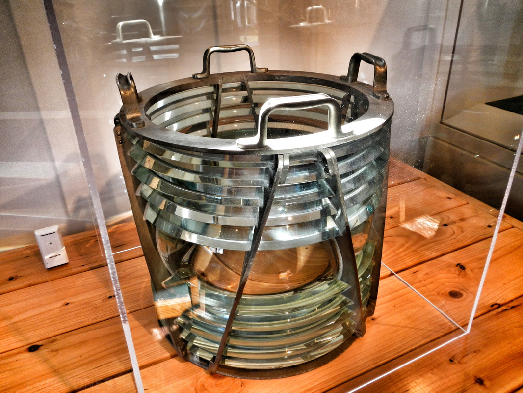 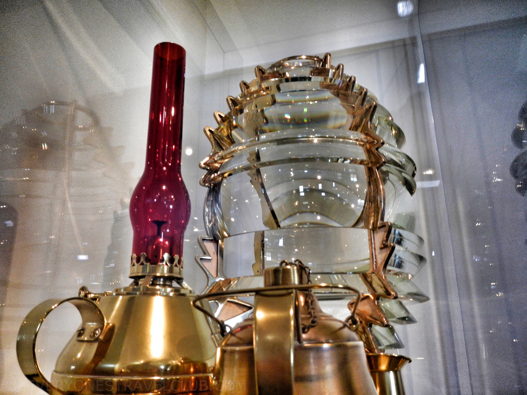 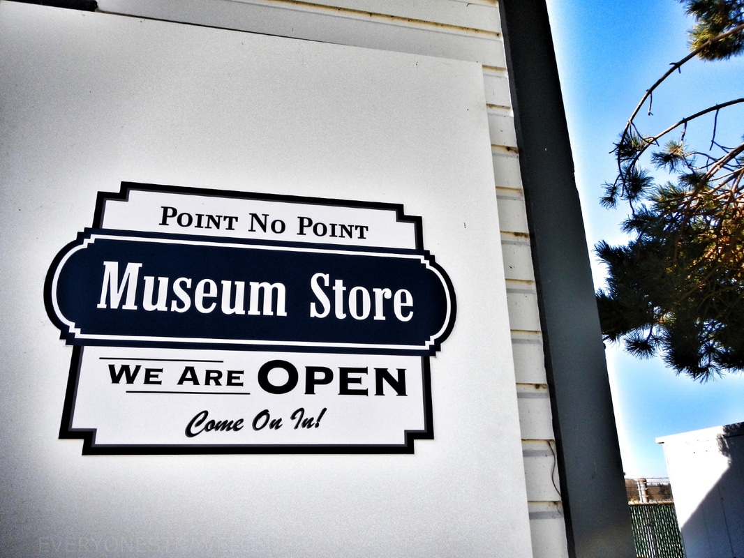 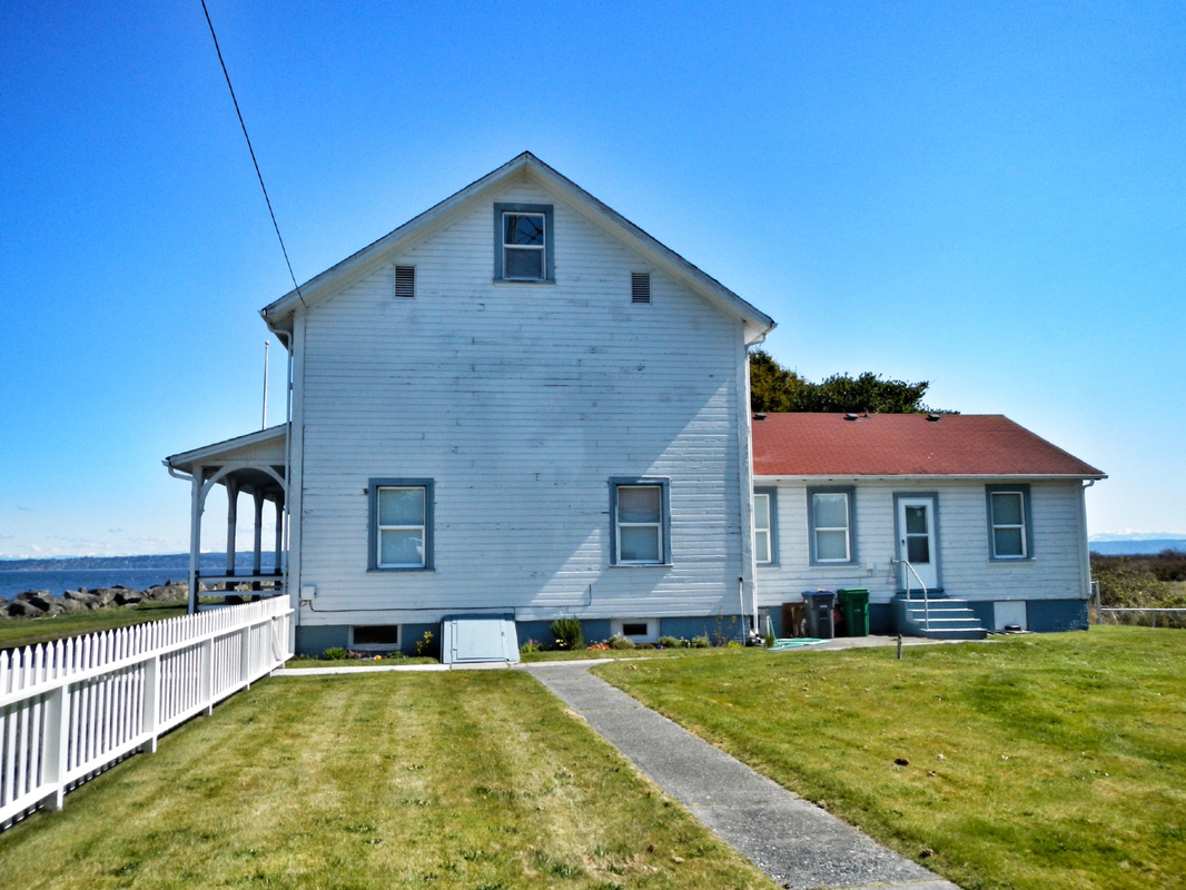 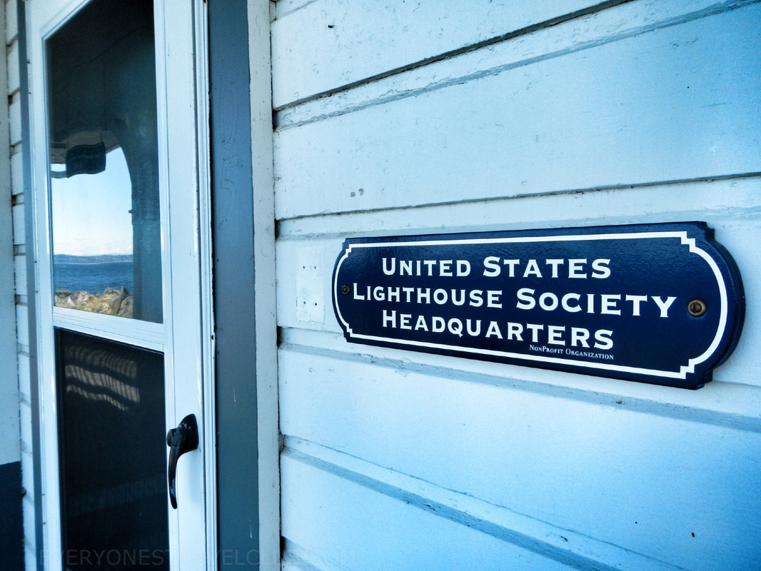 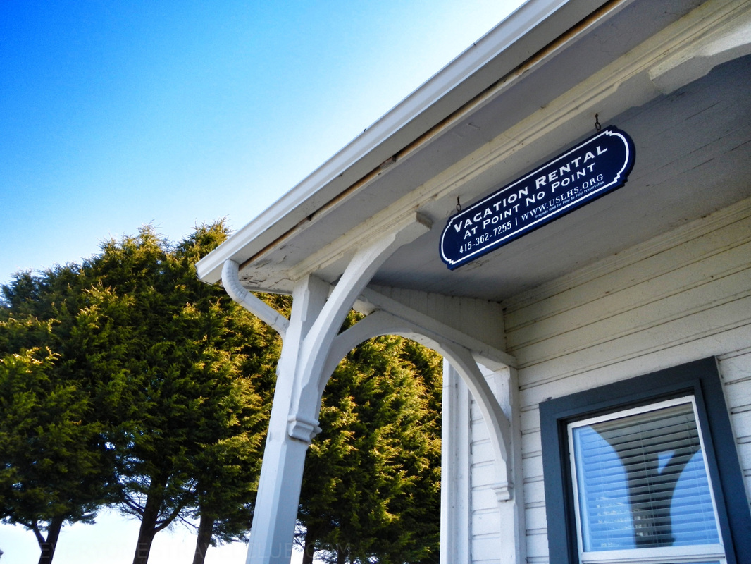 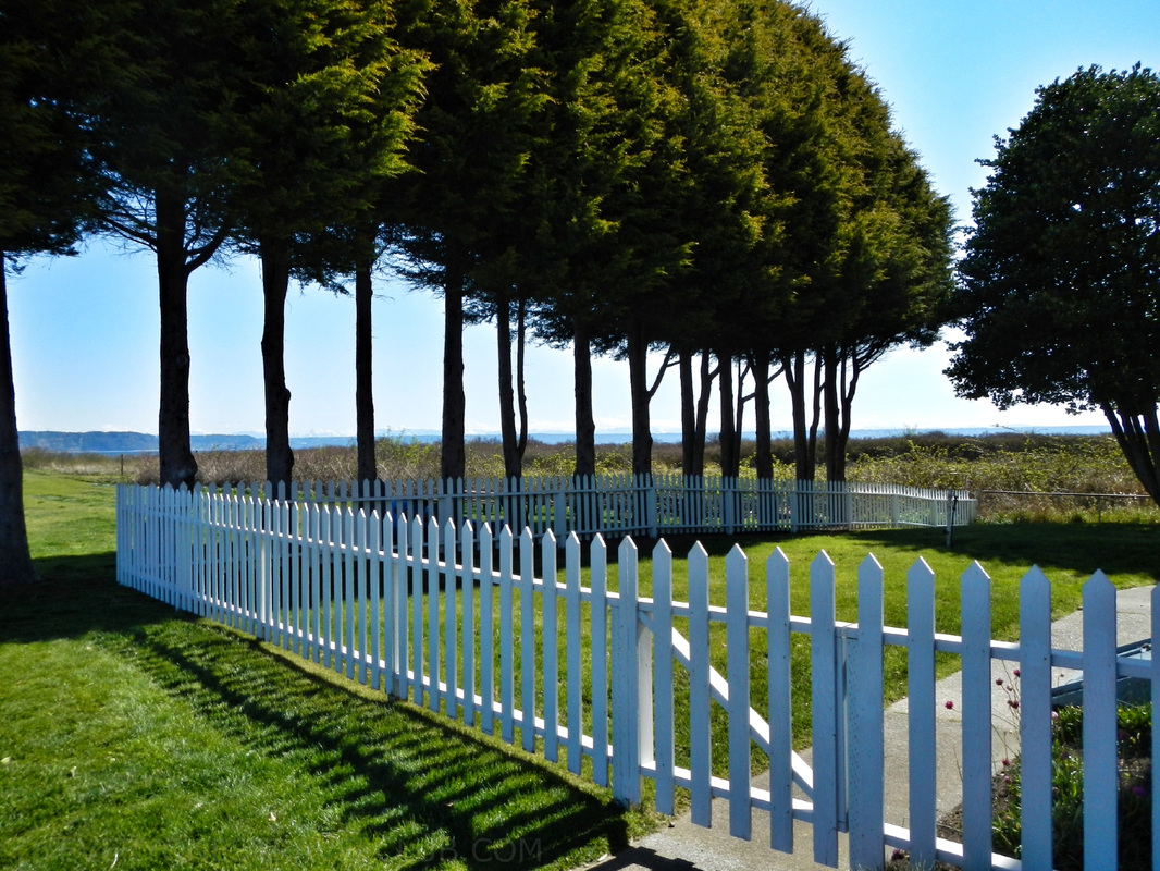 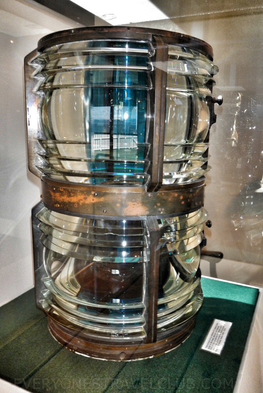 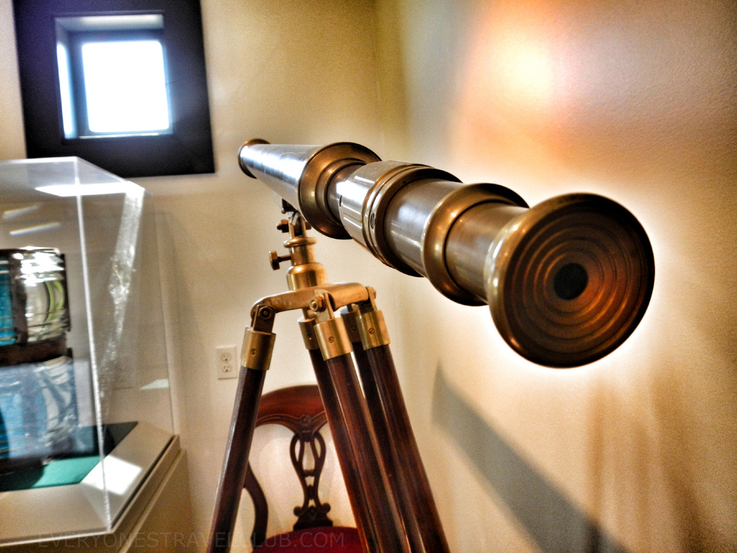
0 Comments
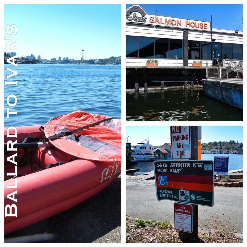 Seattle has had 3 freakishly sunny April weekends in a row and word on the street is that next weekend could complete the month with dry weather! There really isn't a better place to soak up some of this normally-rainy-city-sun than Lake Union. It lies right smack in the middle of Seattle, right next to downtown. When it gets sunny and 'warm' it fills with sea planes, sailboats, powerboats, kayakers, stand-up paddle boarders, and Seattle's iconic house-boats (okay, so the house-boats don't come out only in the sun...they're pretty much always there). I usually like to stay away from Lake Union and favor nearby Lake Washington due to less boat traffic and more woodsy places to paddle but, in my effort to cover all of the Northwest's waterways, decided to join the crowds and give it a go. 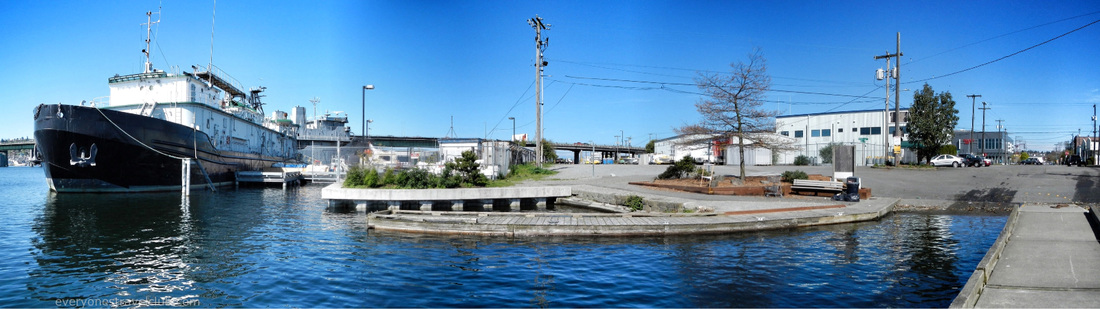 My friend and I launched from the 14th ave boat ramp in Ballard. It's near the Ballard bridge on the Ballard side, near Trader Joe's and the Ballard Greenlake (the empty lot across from T-Js...that I may paddle one of these days:) 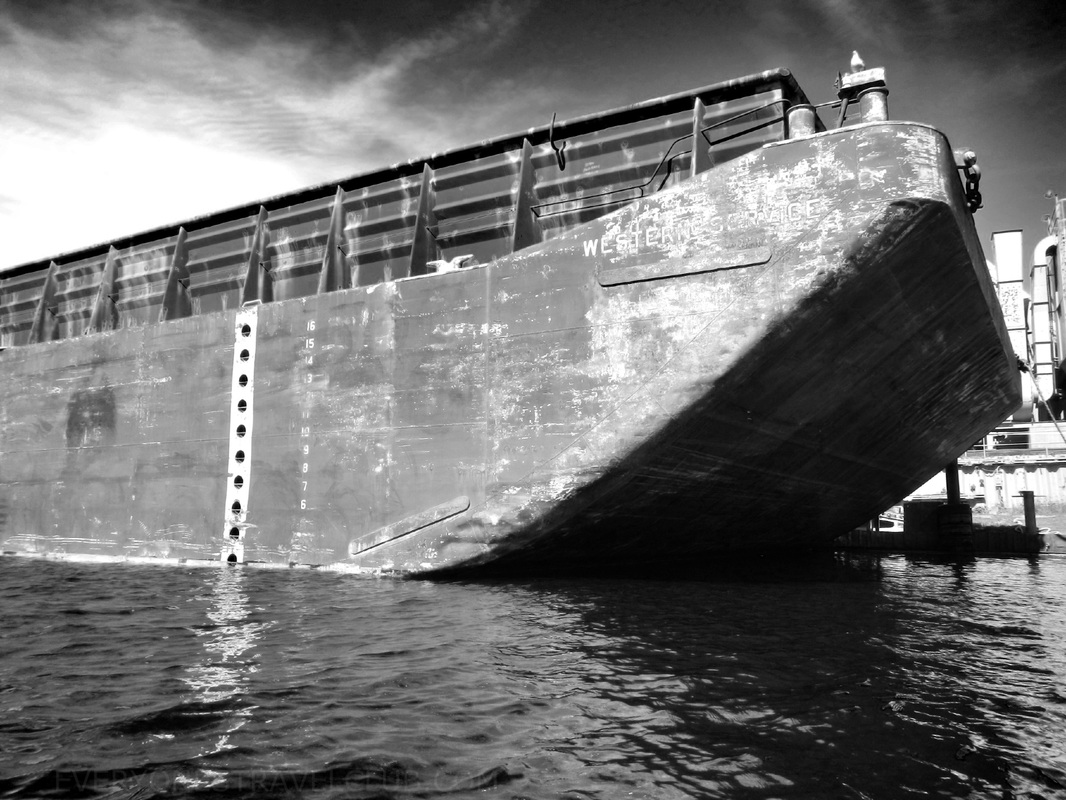 The start of this paddle takes you through the Lake Washington Ship Canal and provides plenty of Instagram-fodder with barges and tons of metal-ish stuff. 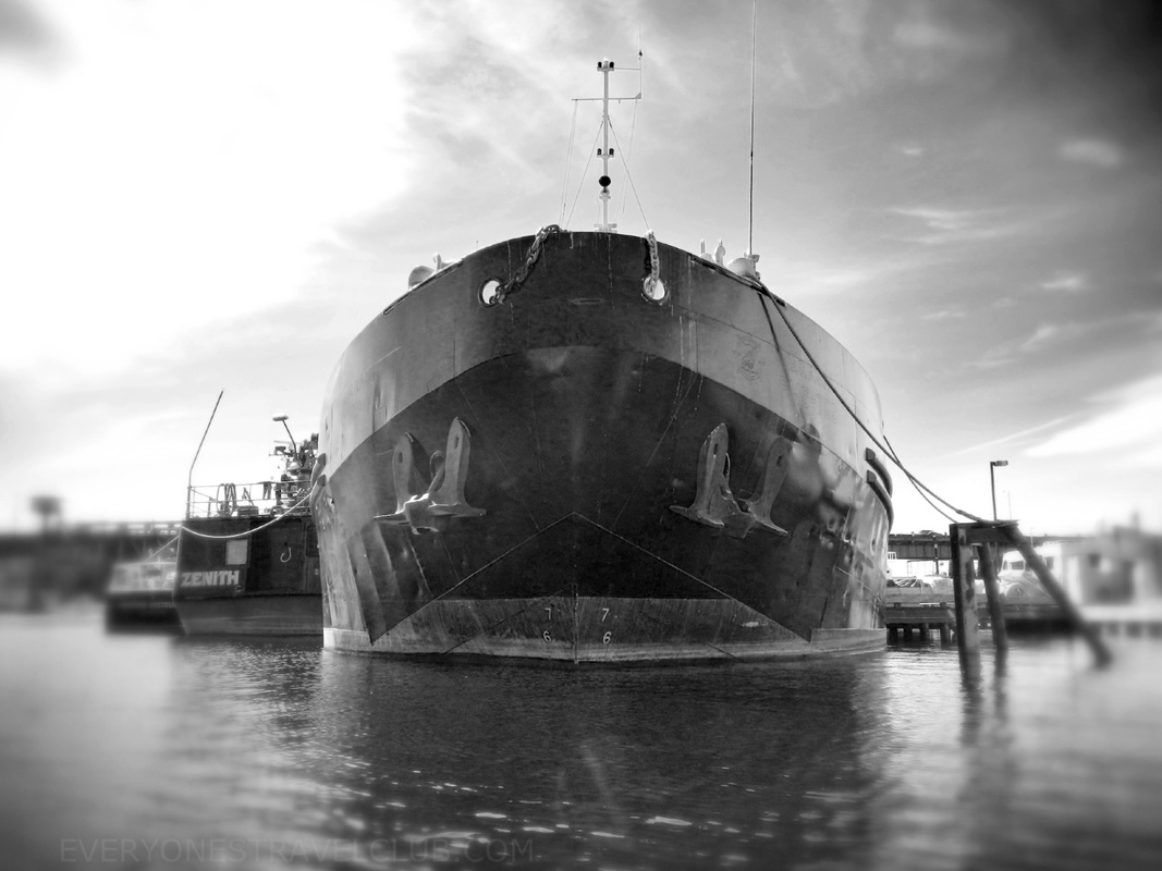 As you head East you'll go under the Fremont and Aurora (it's really called the George Washington Memorial Bridge) bridges, by Gasworks park (to the North) and the City (to the South). 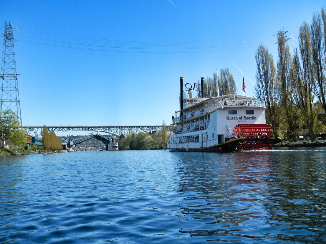 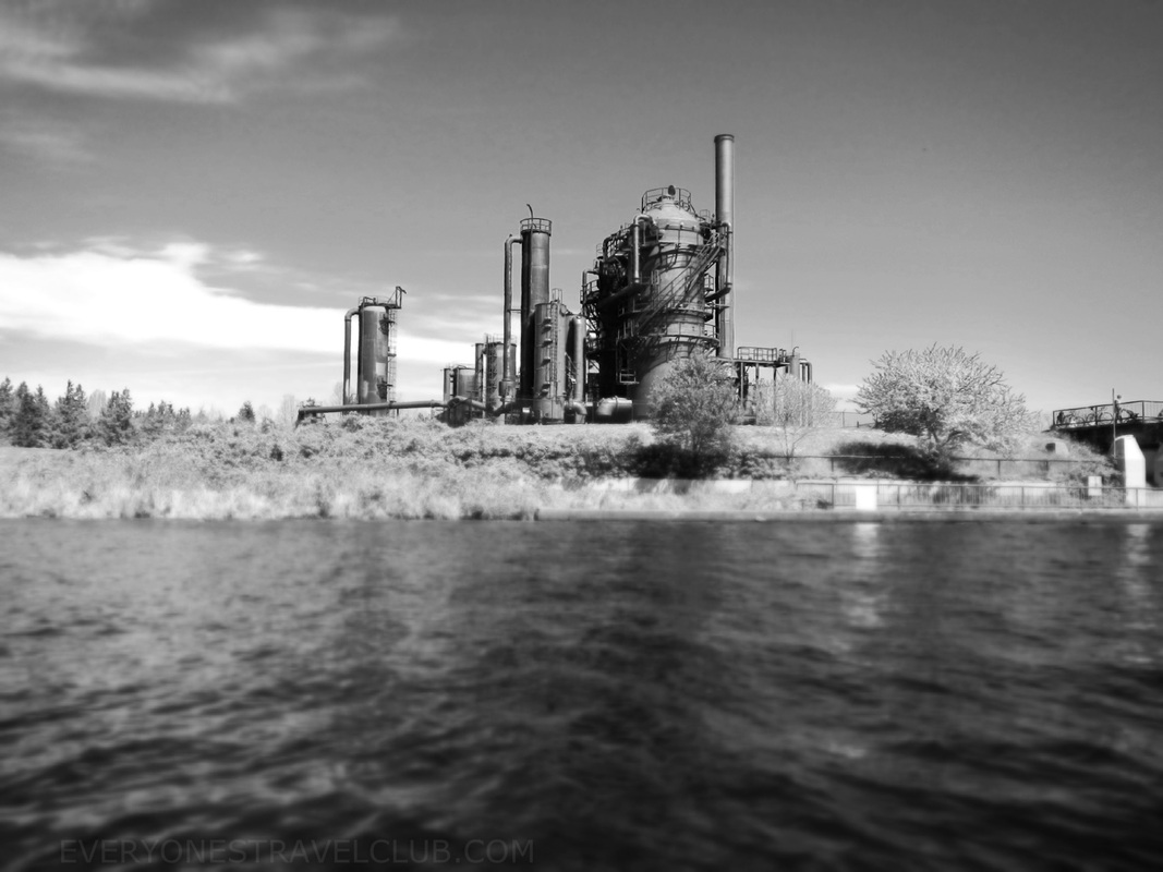 Gasworks Park, North Lake Union 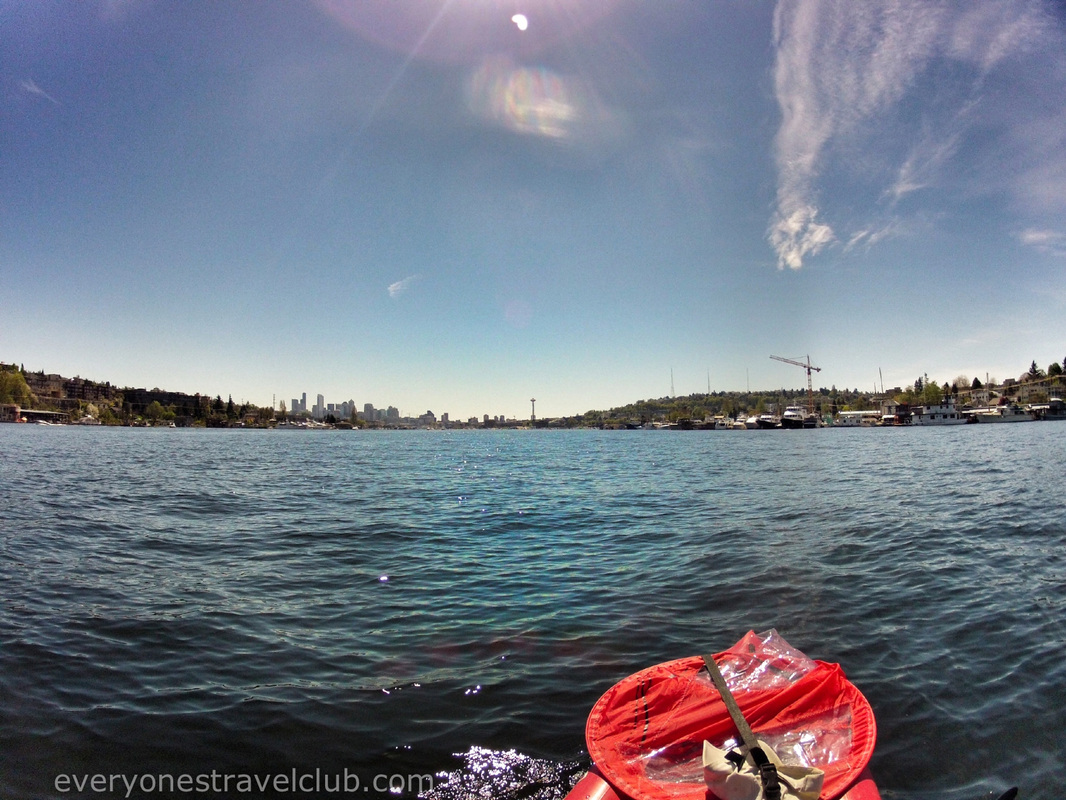 After about 45 mins to an hour & 1/2 (depending on your kayak/wind/how many pictures you take/sun-bathing) you'll arrive at Ivar's Salmon House. It's on the Northside of the lake just before the I-5 and University bridges. We were lucky that the patio was open this early in the season (they said they opened it last minute due to the nice weather). We grabbed a drink, took a break, and eventually took off back to 14th ave. Total time on the water for us: 3 hours-ish Free parking and lots of spots at 14th ave: yep Tides?: nope, it's a lake. Salty?: nope, it's a lake. Food at Ivar's is salty. Choppy? not too bad. Sunny on this trip for you next weekend?: ? ;) ~Paul, Vic -ETC 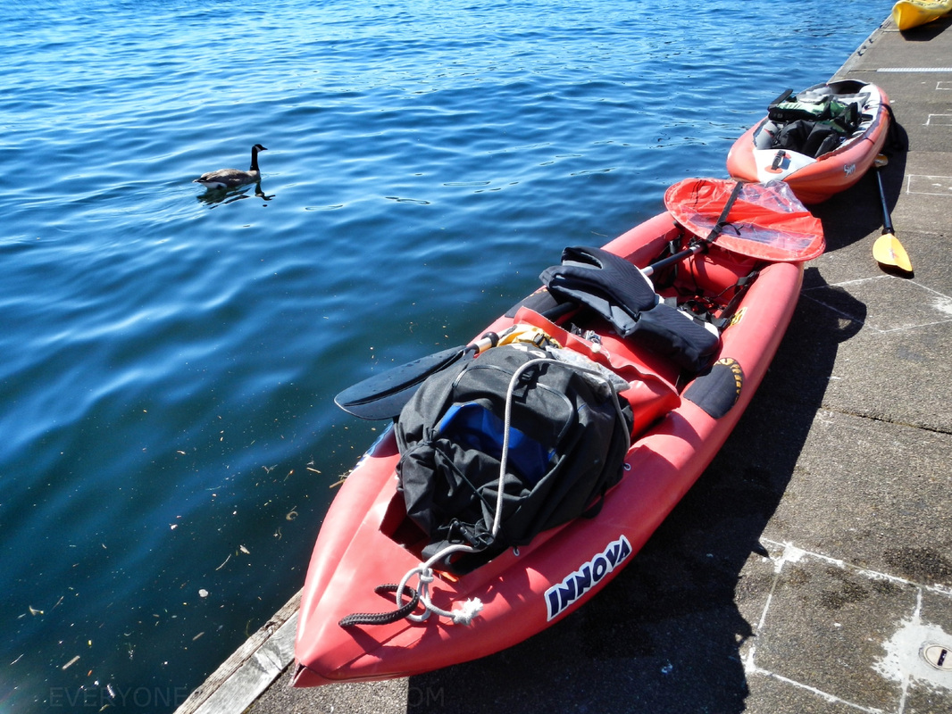 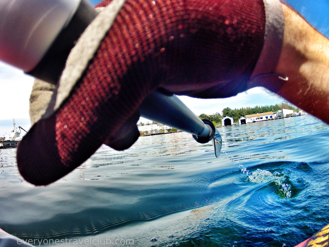 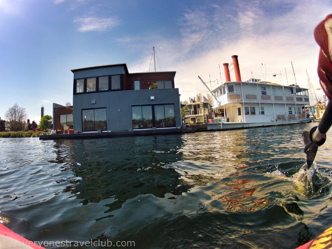 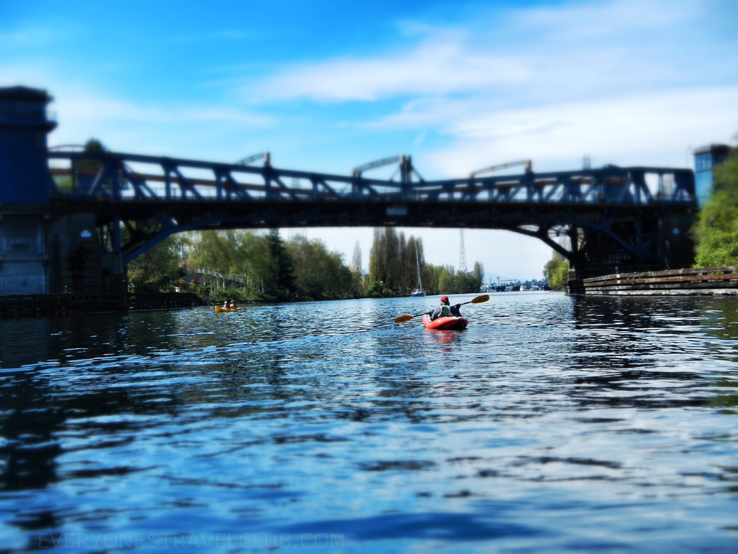 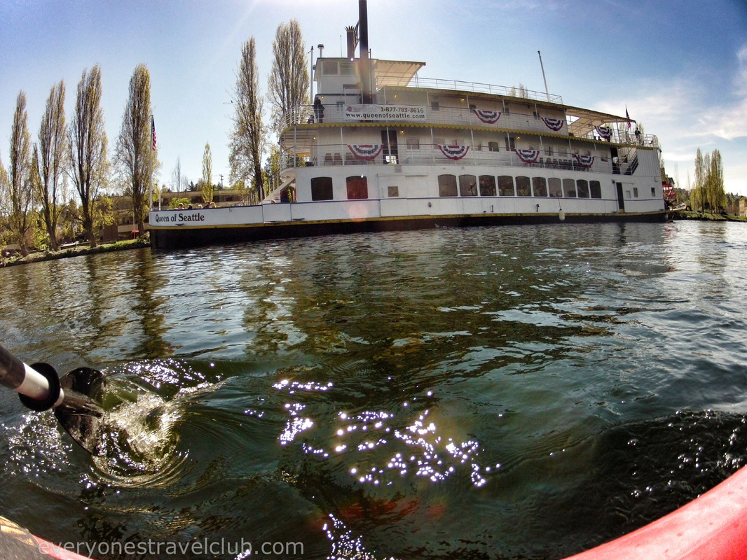 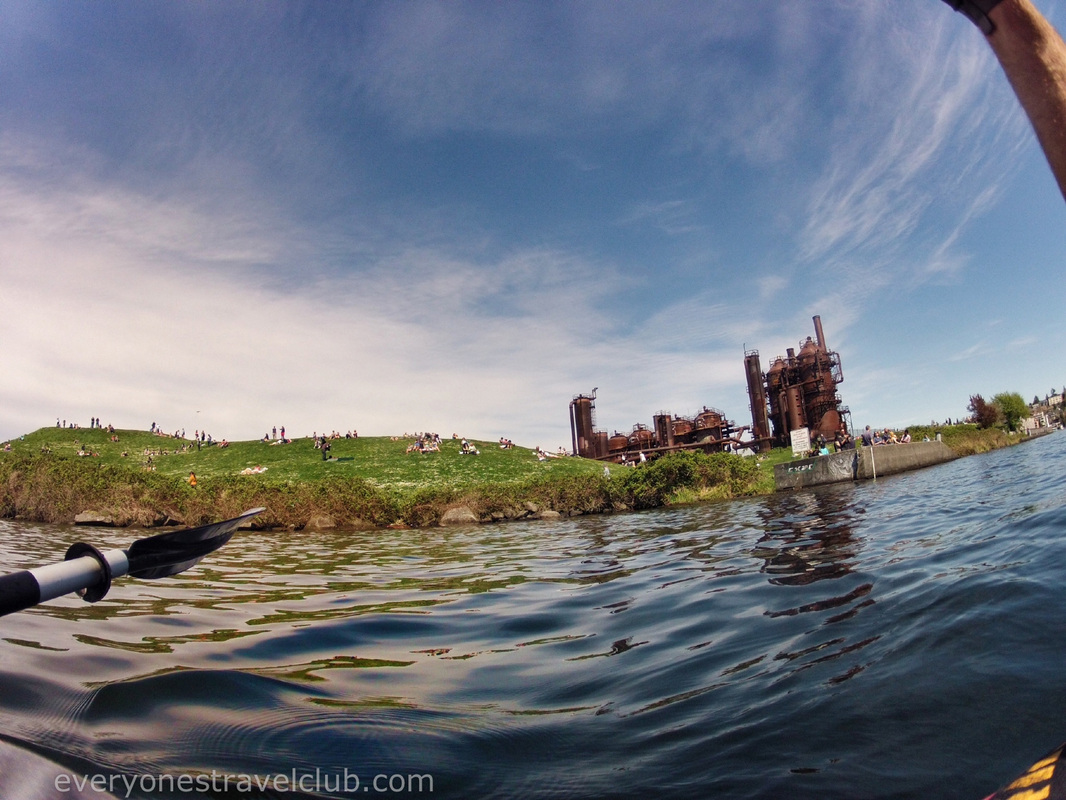 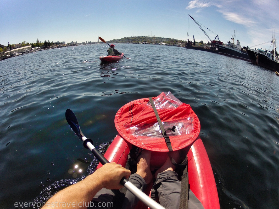 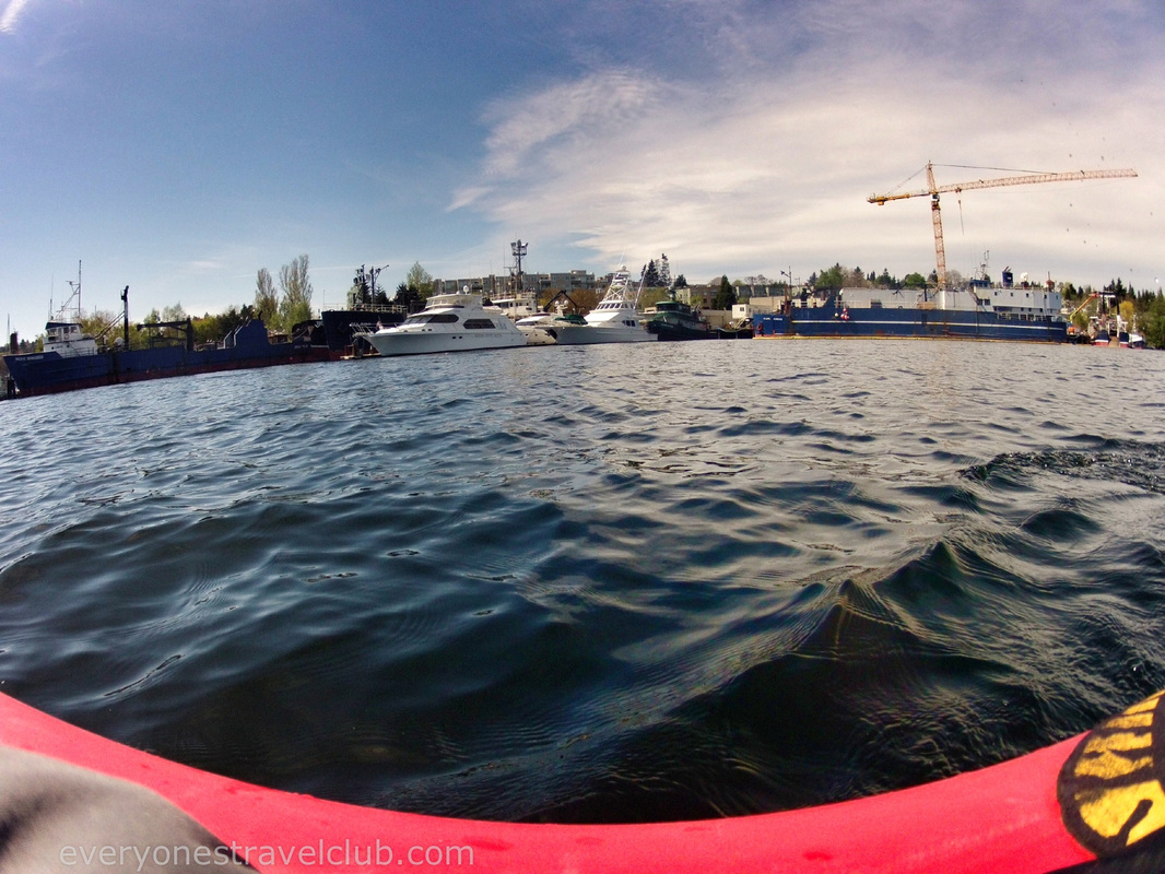 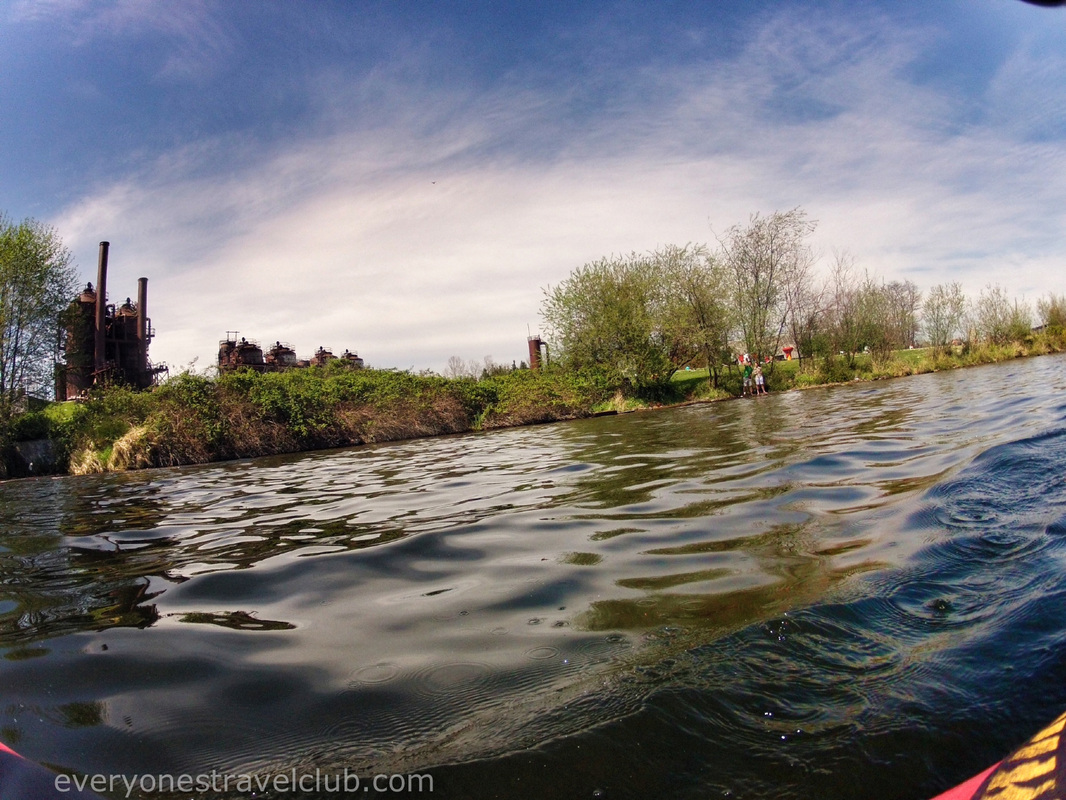 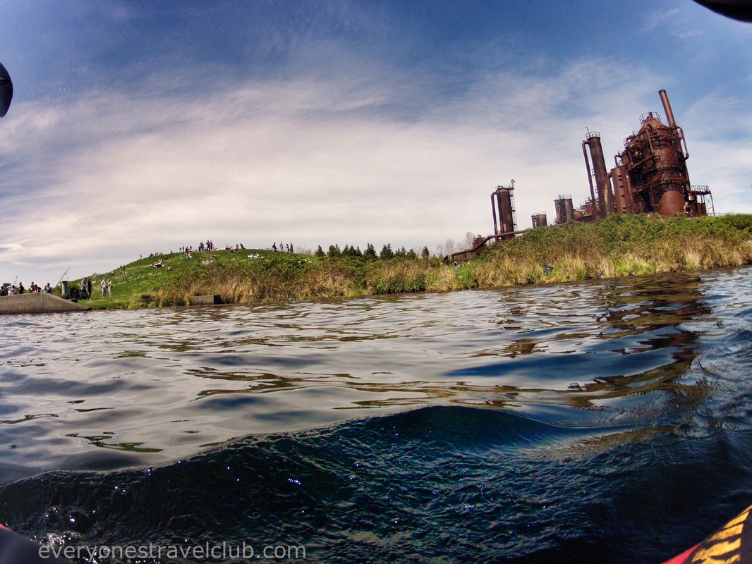 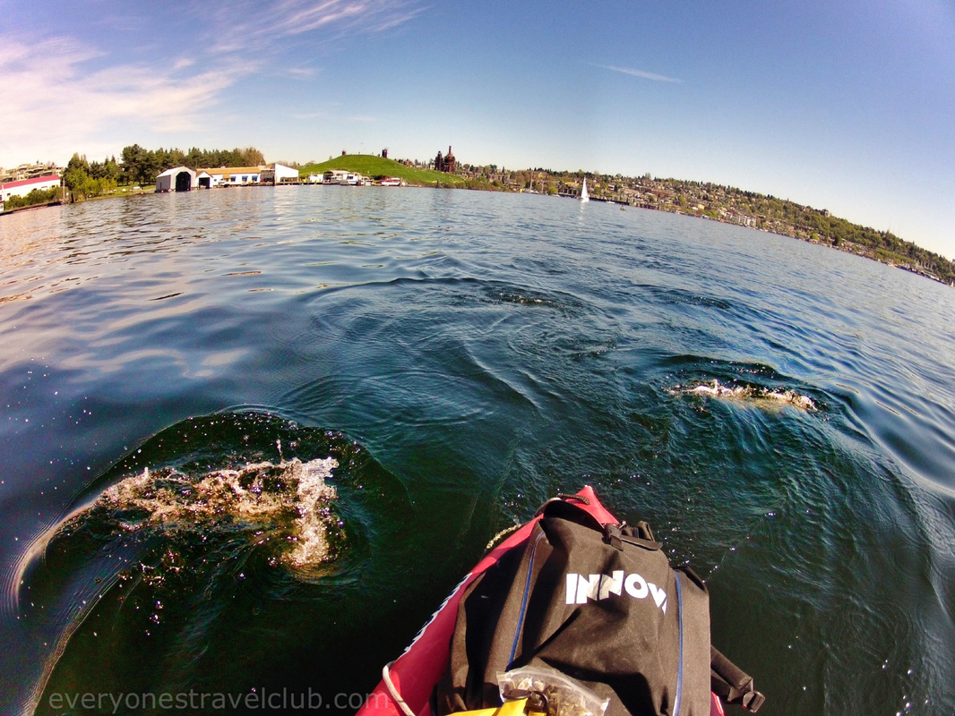 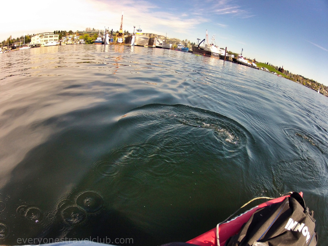 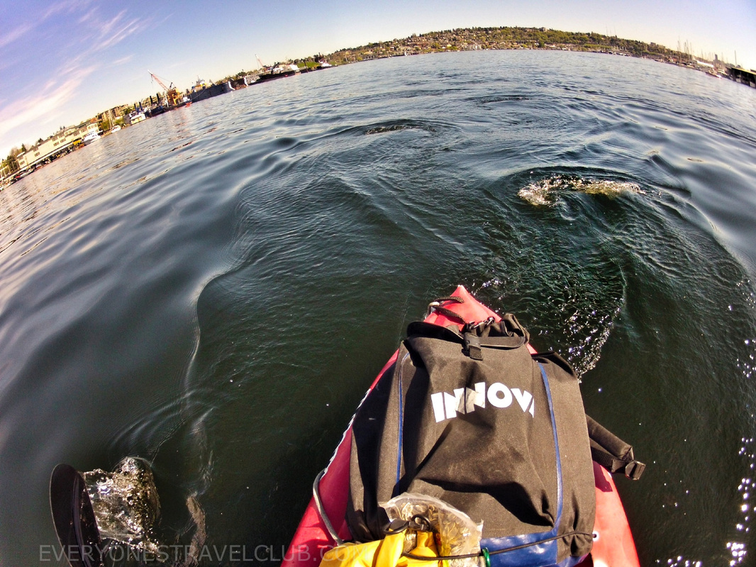  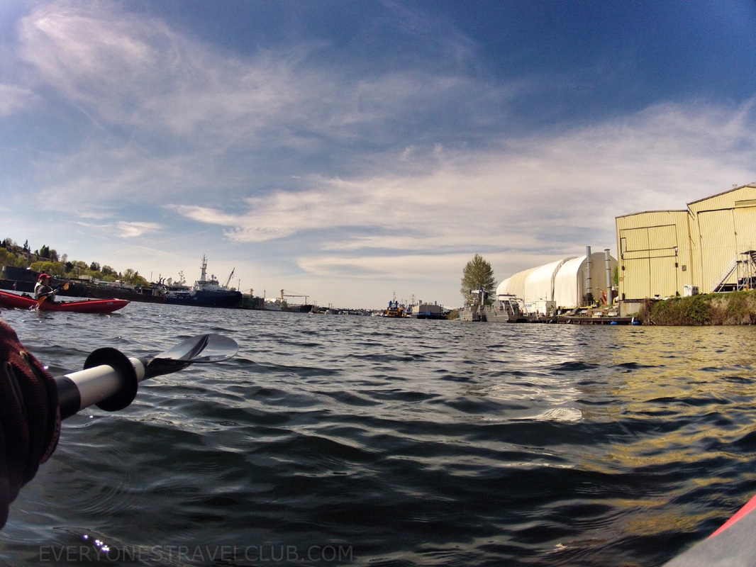 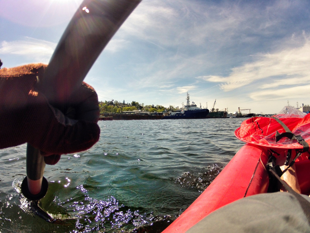 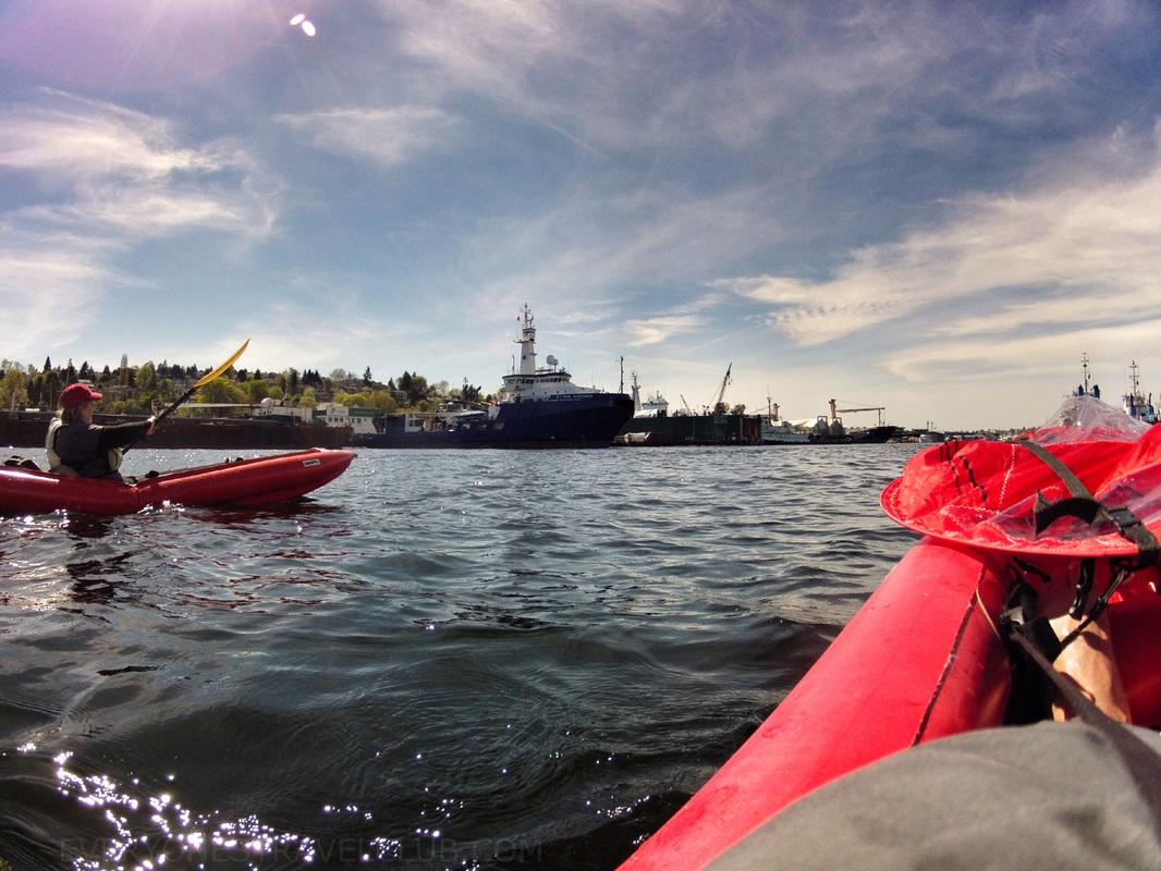 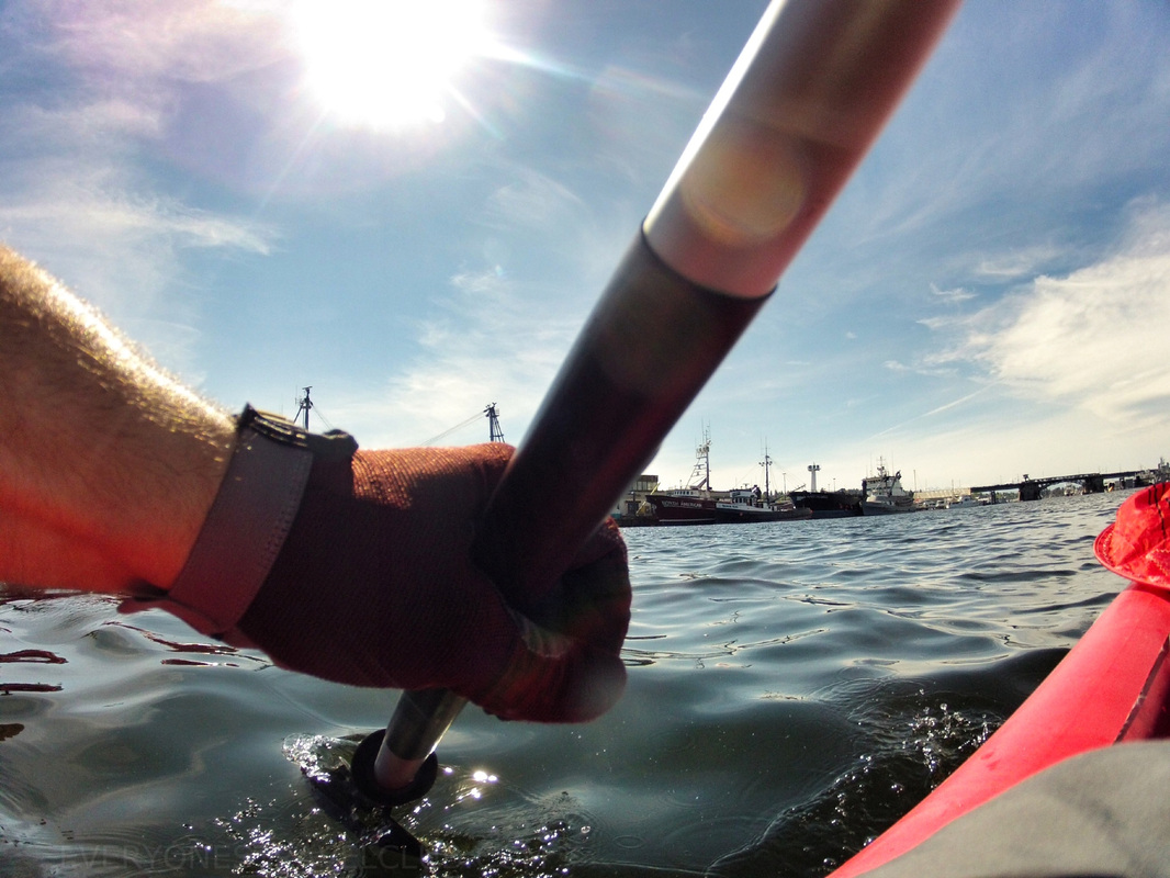  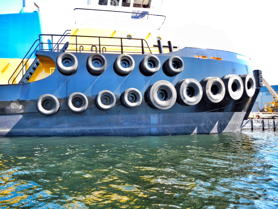  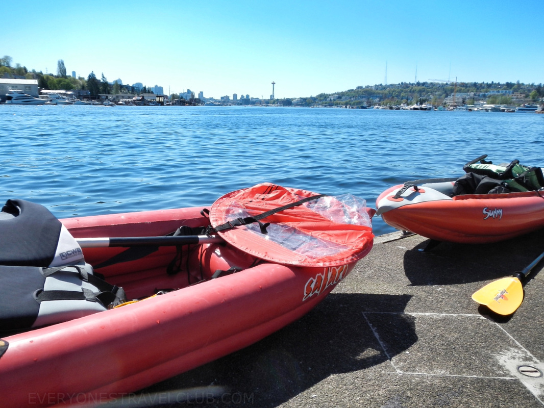 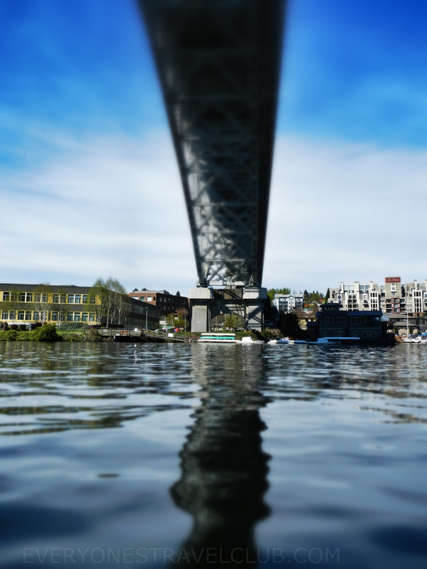 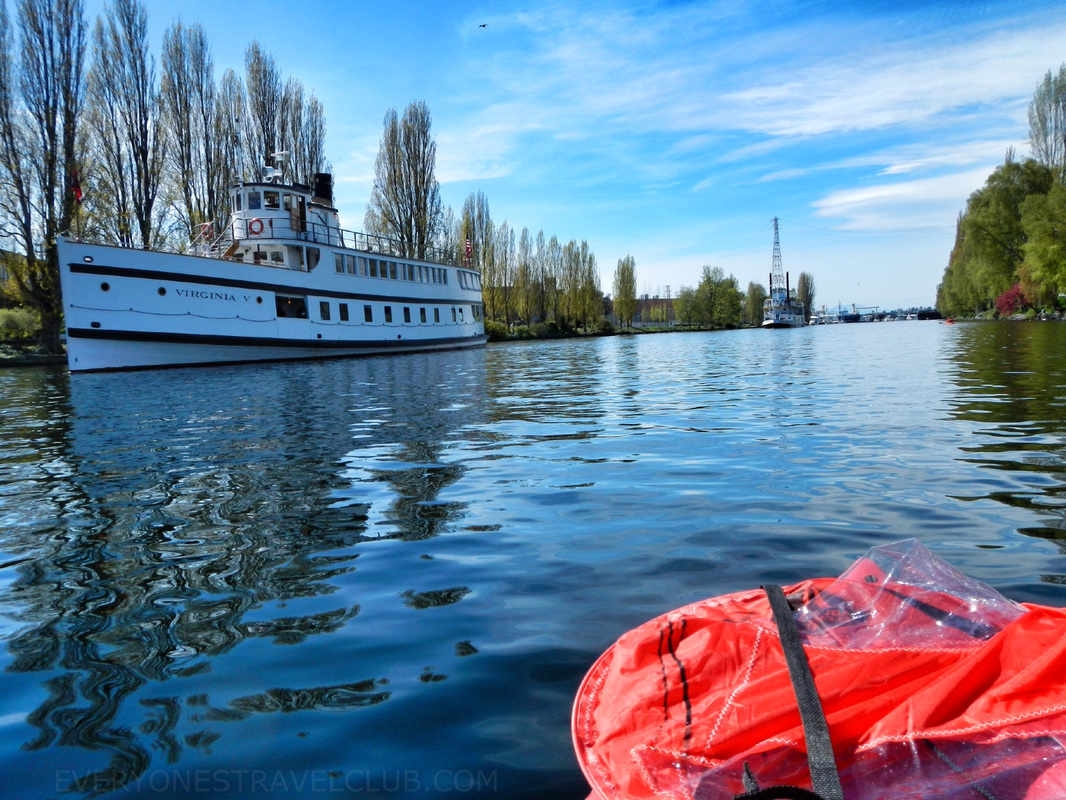 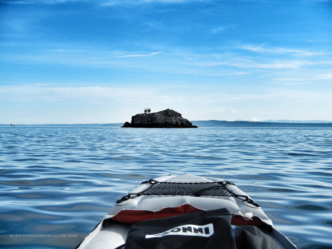 We took the club on the road yet again, this time stopping by the Port Ludlow Marina (where we had sailed before). They have a nice little platform that I launched a kayak from (pic below). I went out of the bay and paddled Northward towards Colvos Rocks, a popular diving destination (map here). 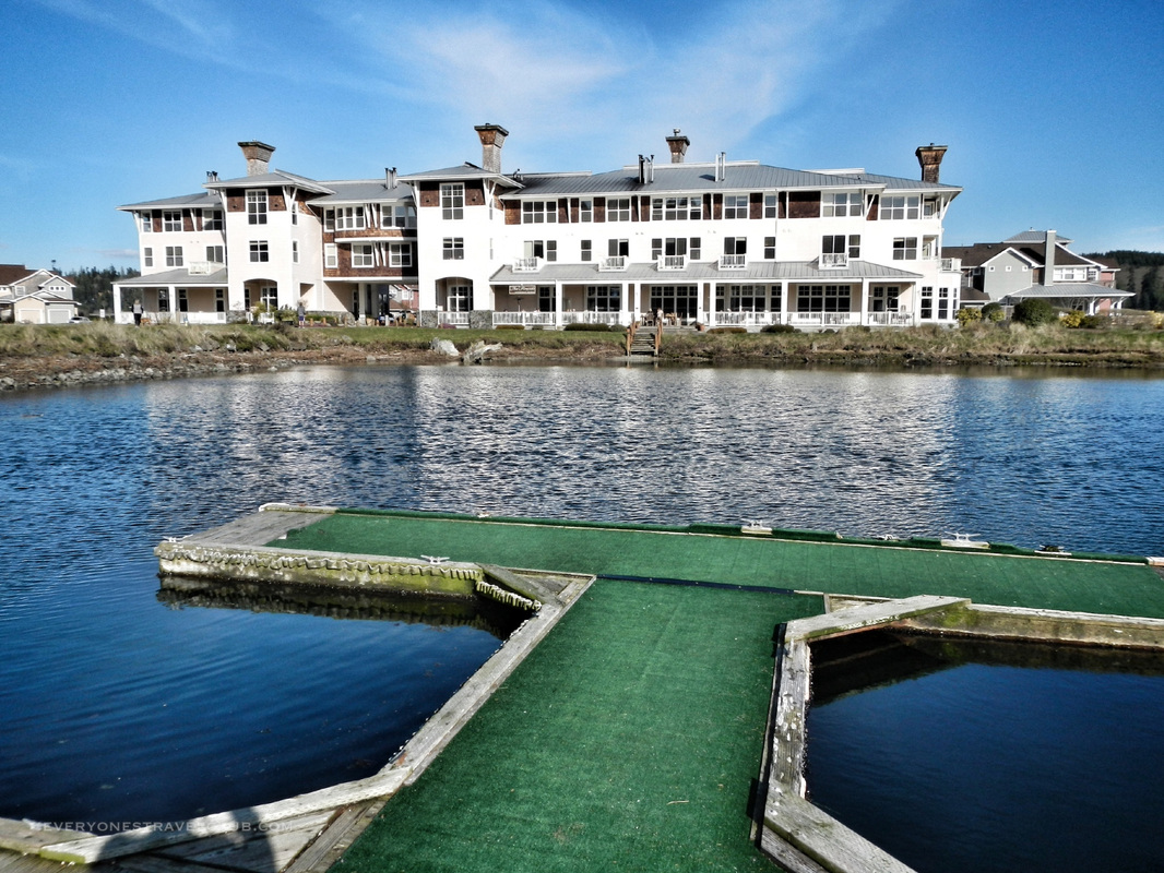 The entire trip only took a couple of hours (at our typical ETC leisurely stroll - inflatable kayak plus taking tons of pictures every 5 minutes). Always watch the tides, currents, and wind - as you can see in the pics, it was super still for me. Total mileage roundtrip was around 4 miles. 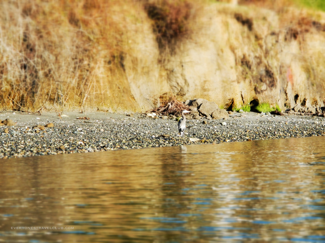 Wildlife was in abundance - On the trip I saw otters, heron, eagles, harbor porpoises, harbor seals, and plenty of sea stars. 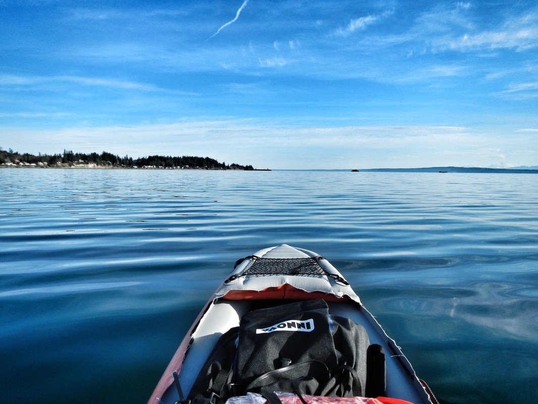 You could hug the shore on this trip but it would add to your mileage considerably...I went straight for the rocks to save time, with all of my safety gear including wearing my drysuit... 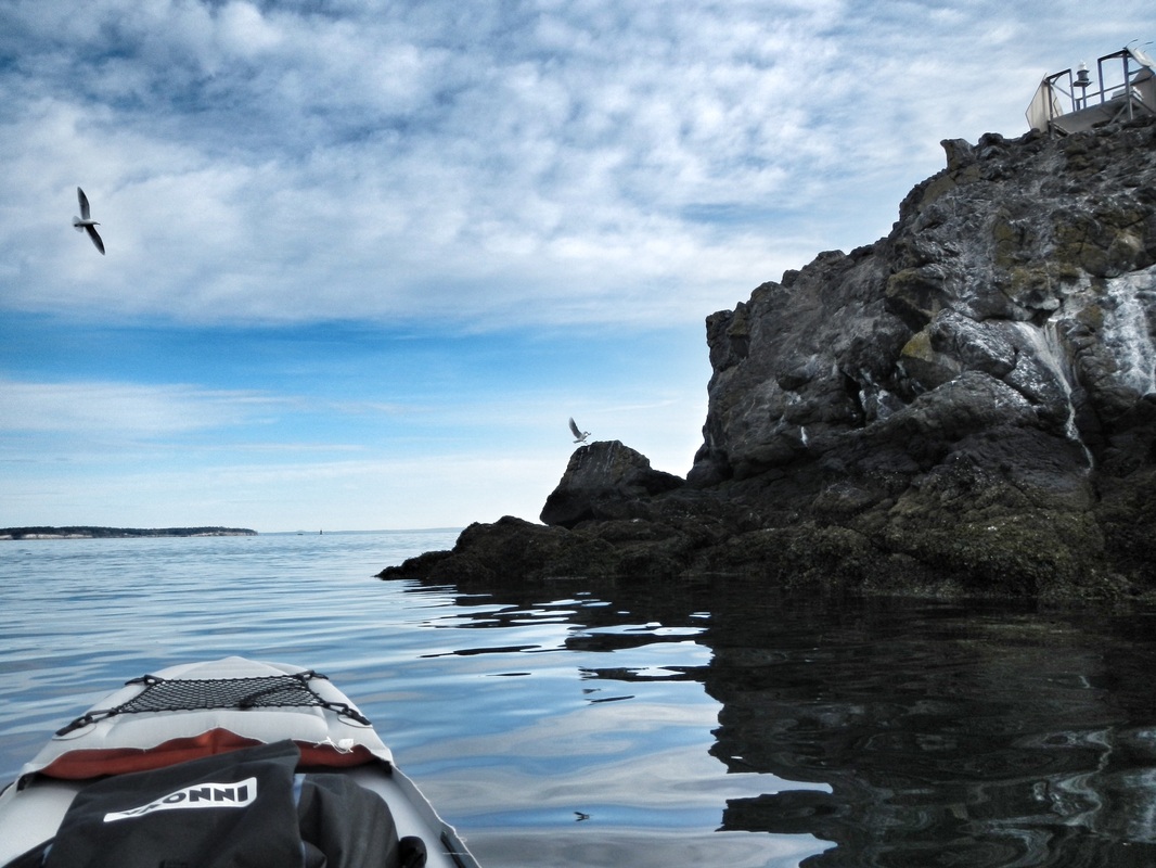 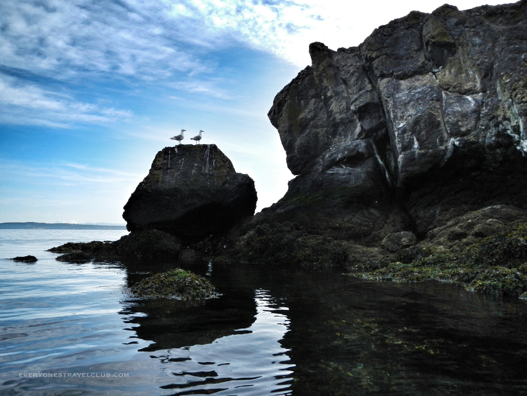 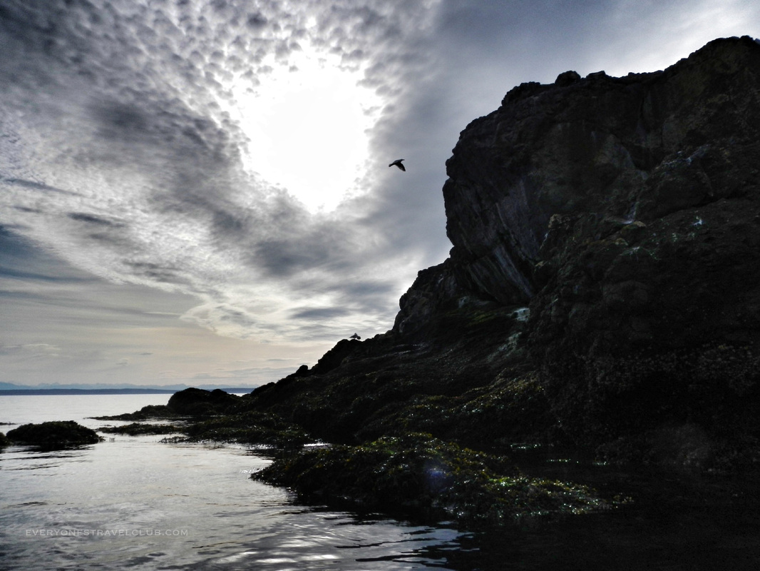 With the right planning, safety gear, and conditions, a great trip for everyone. Don't want to paddle as far but still wanna see the rocks? Try putting in nearby in Mats Mats Bay. ~Paul ETC  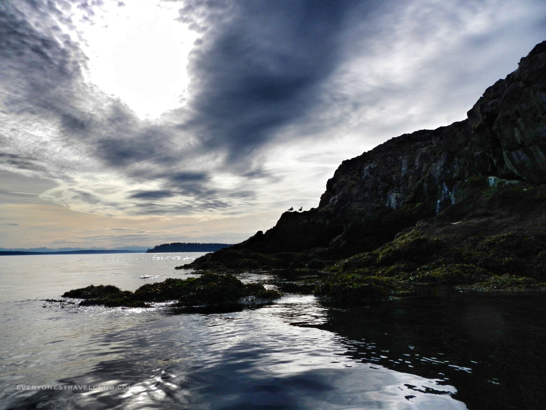 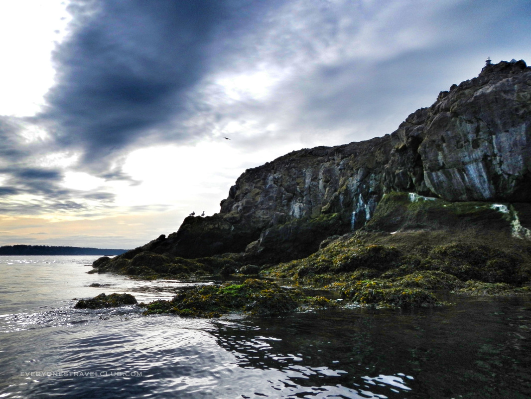 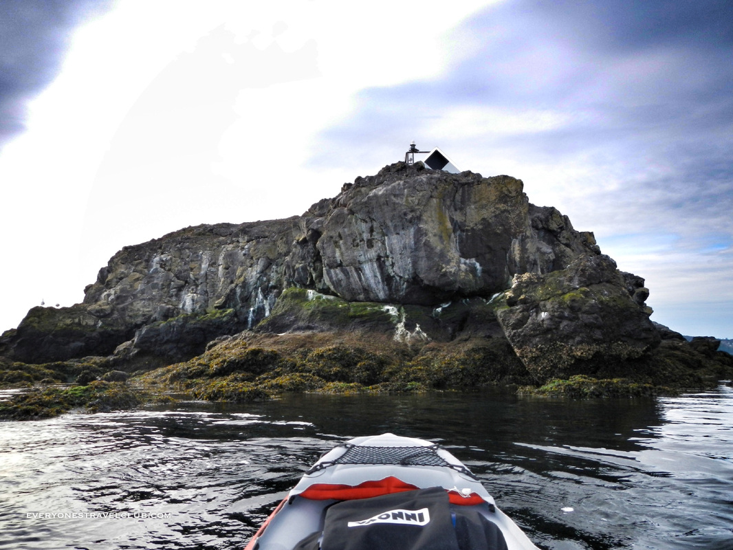 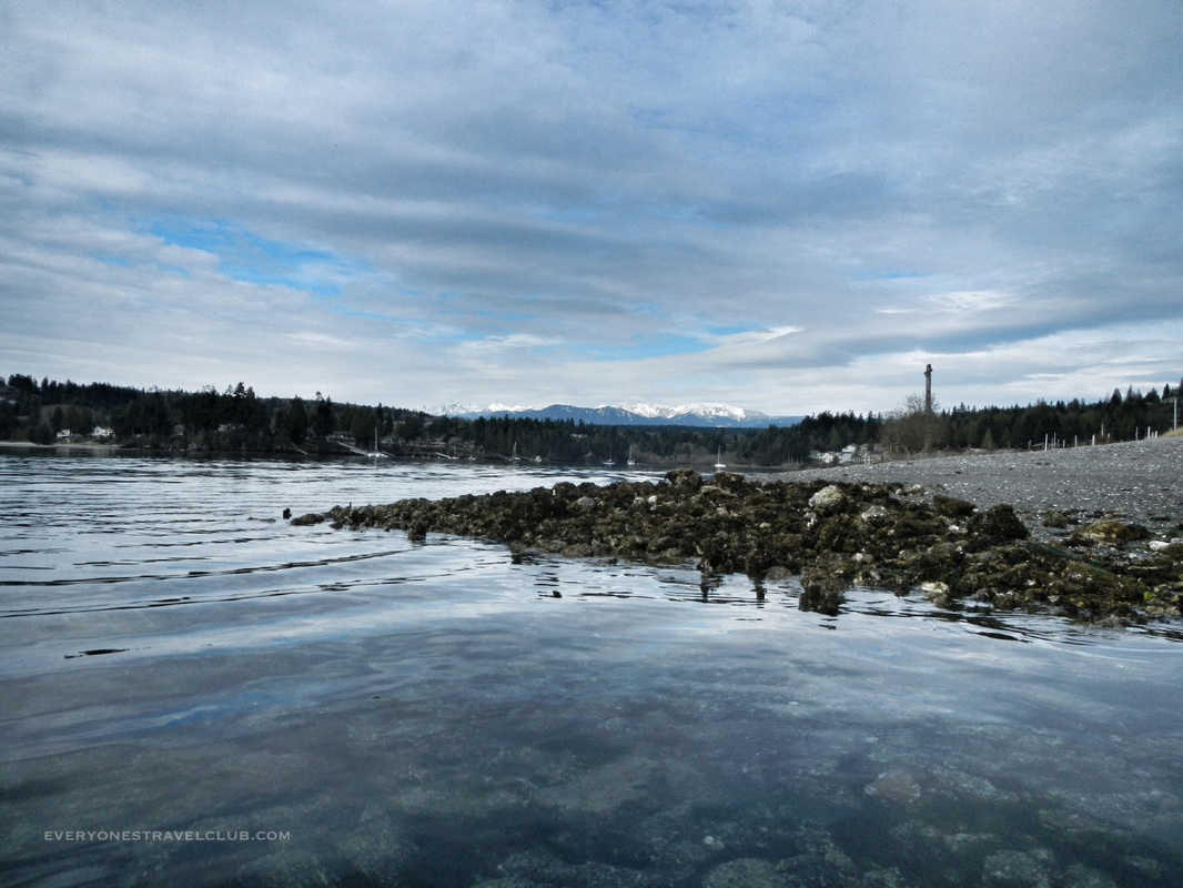 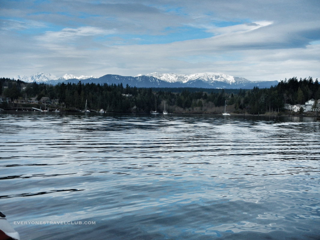 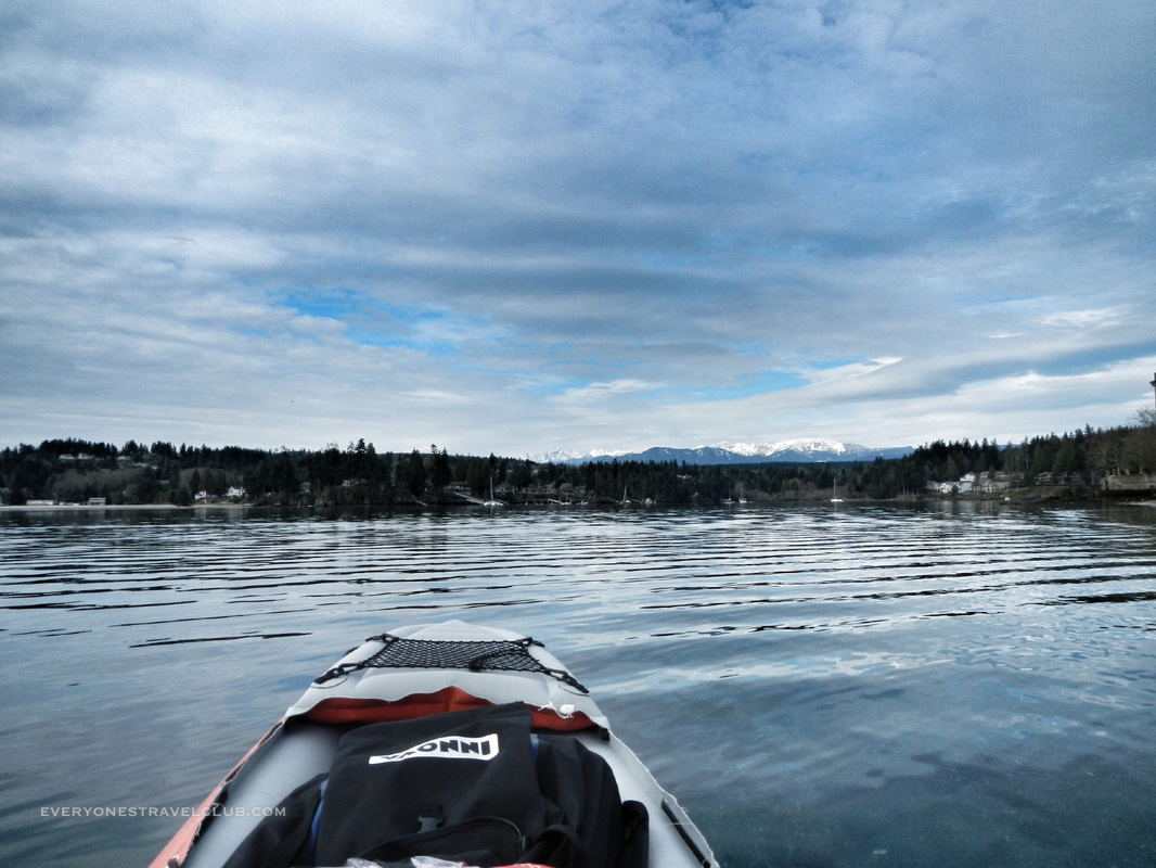 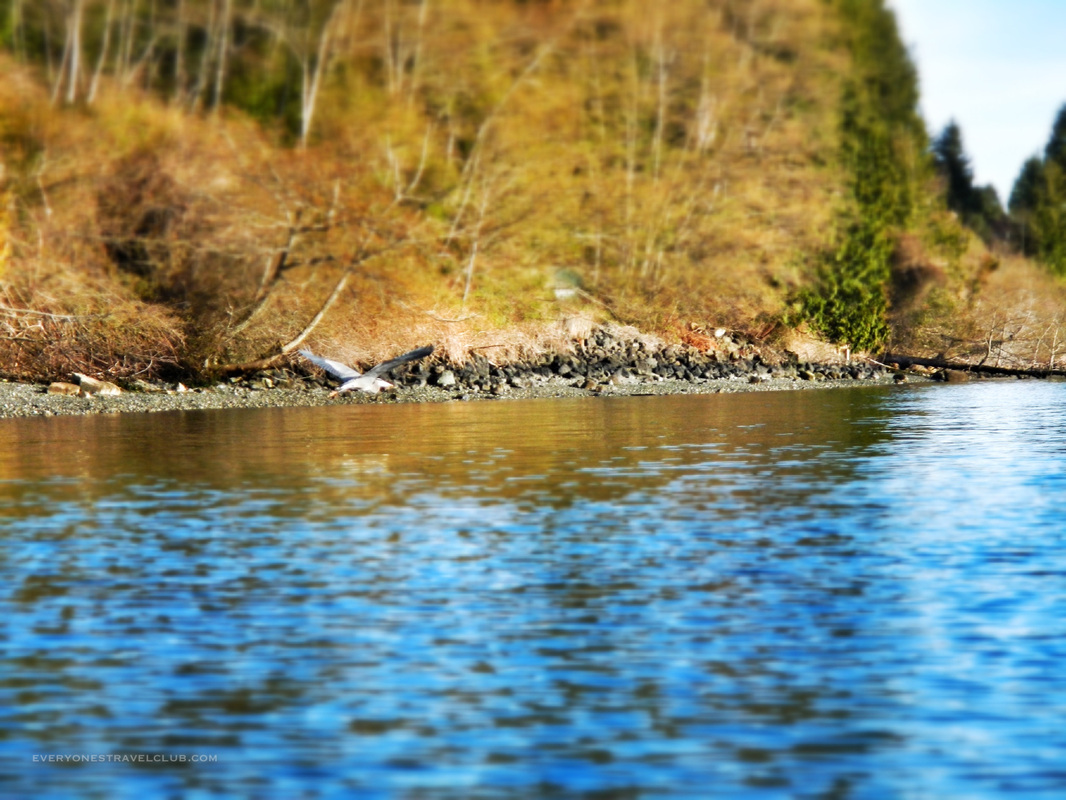 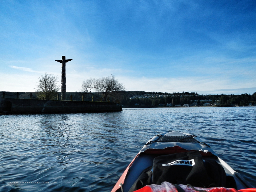 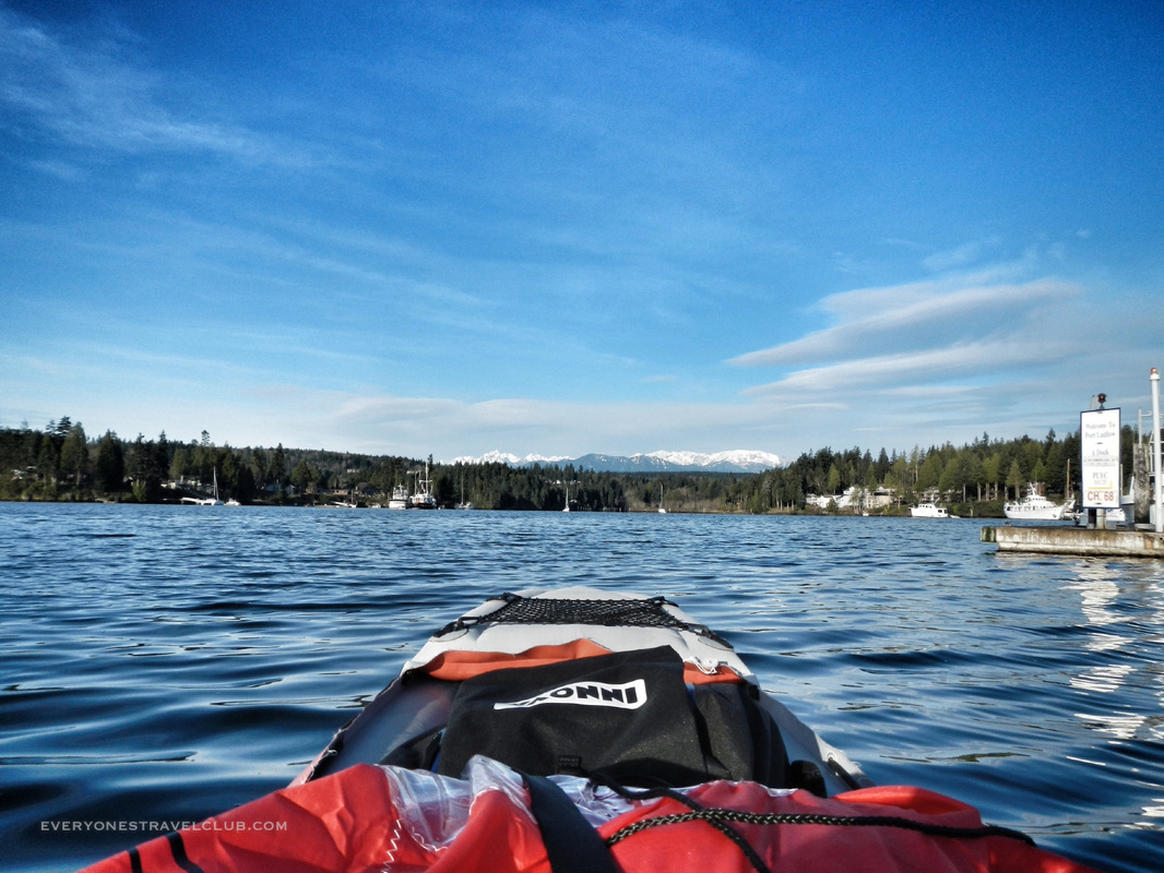 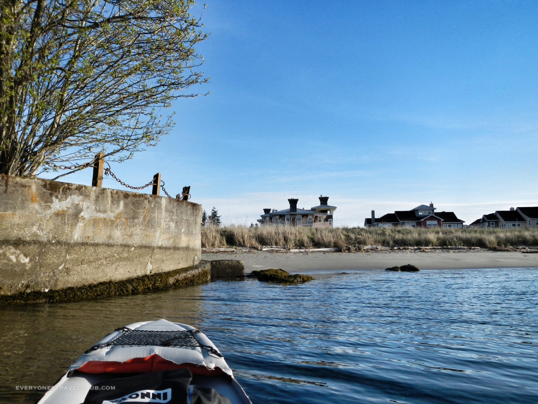 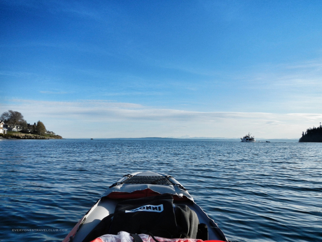  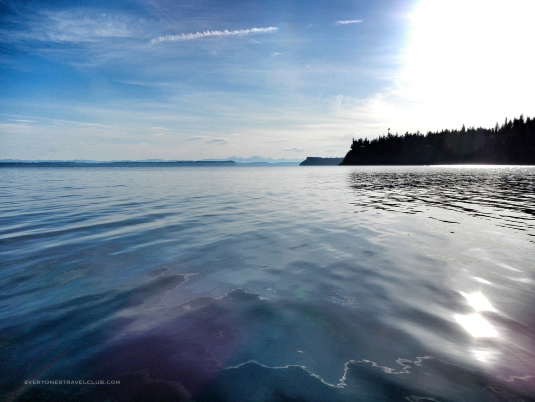 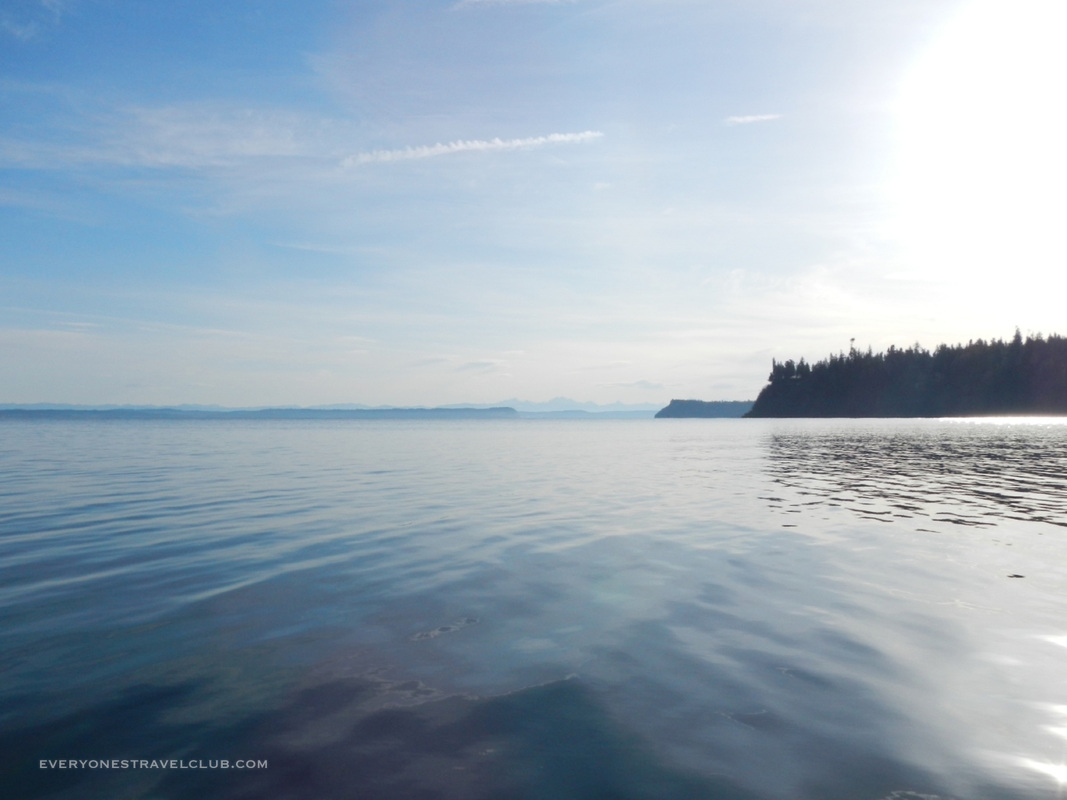 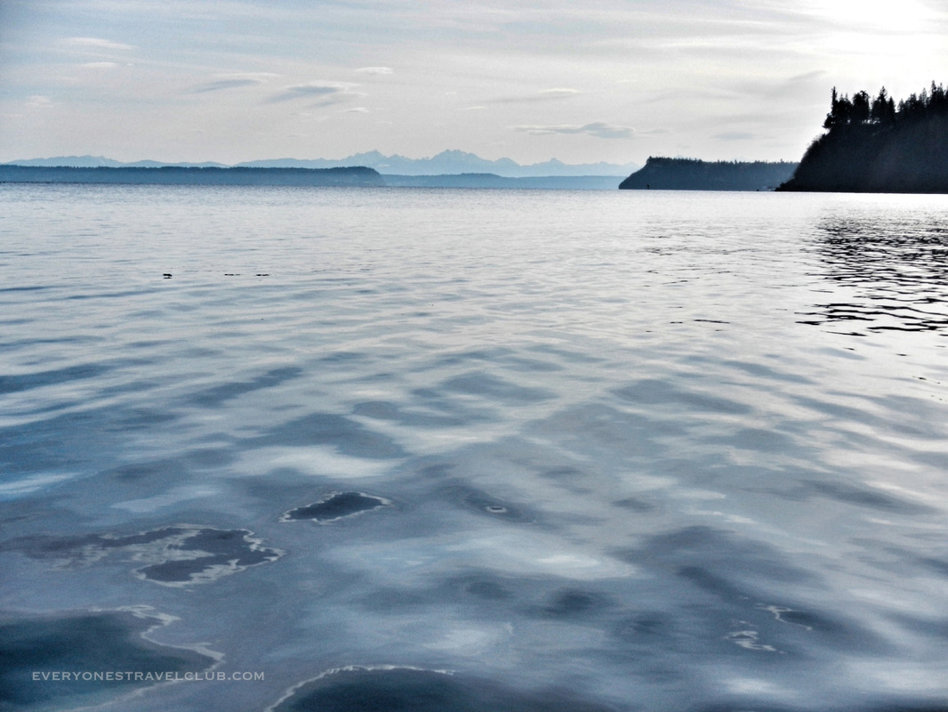 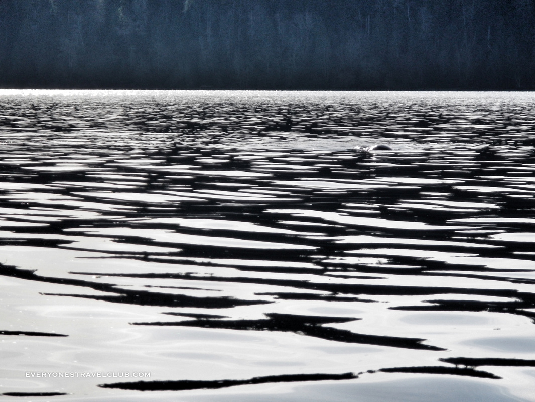 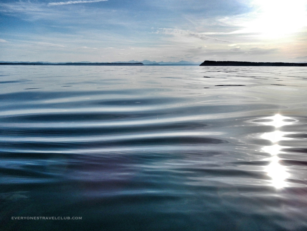 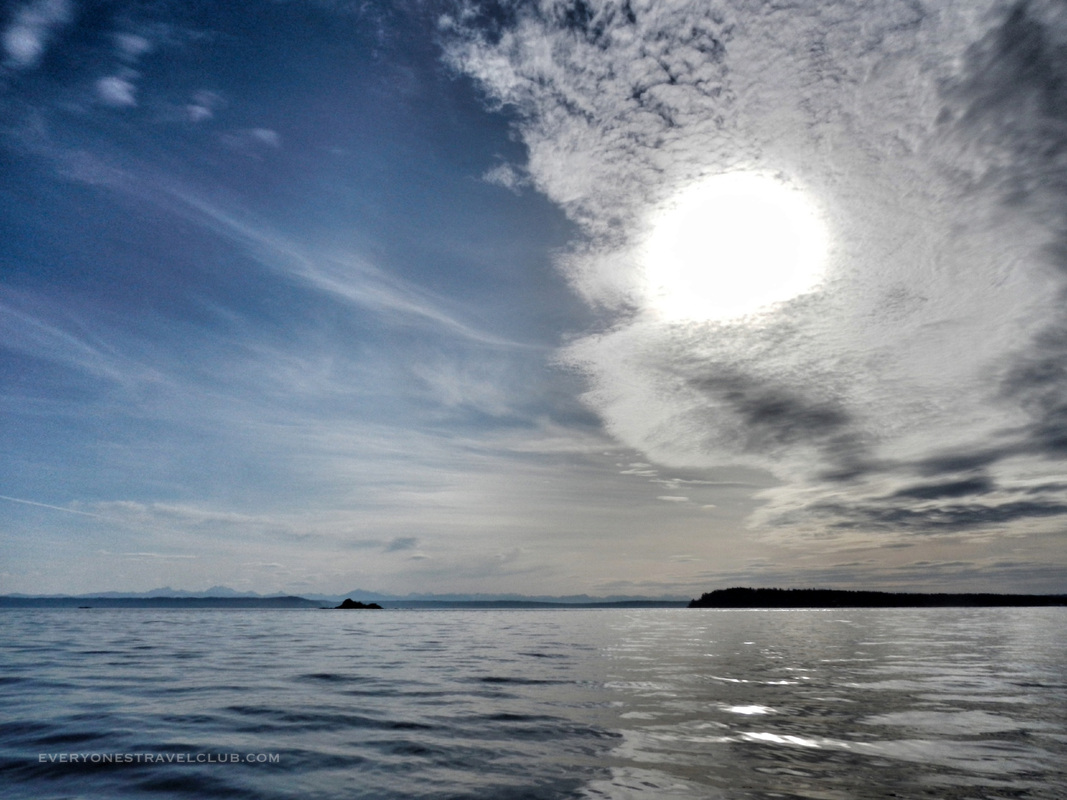 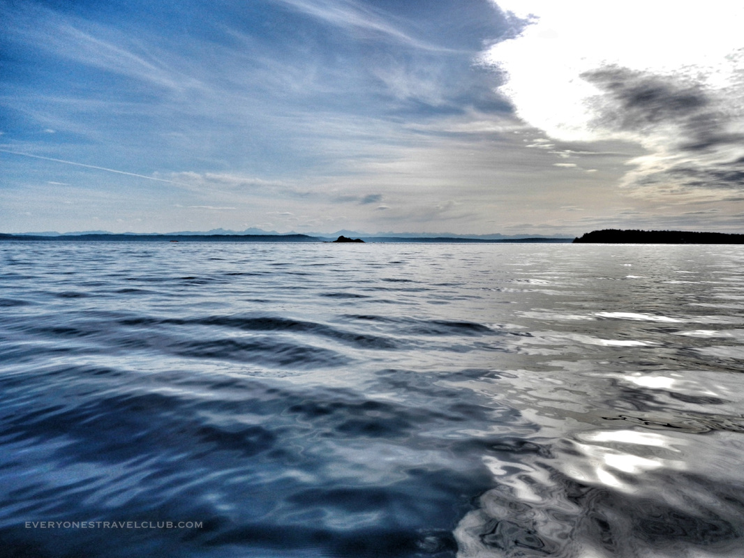 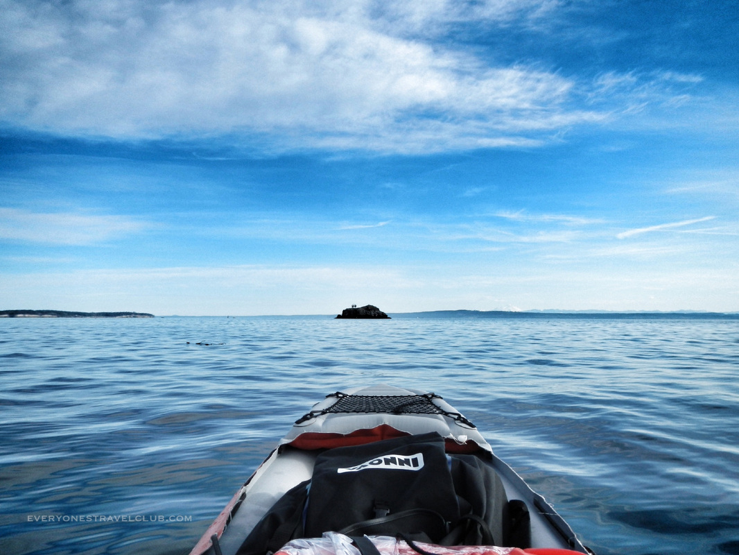 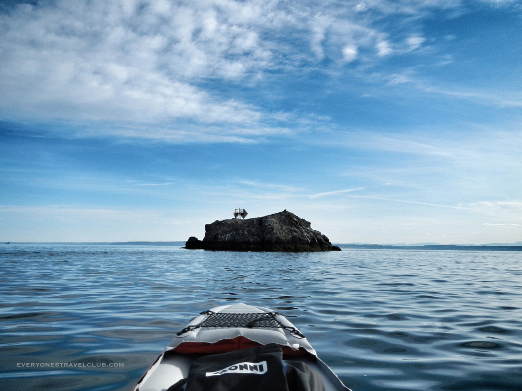 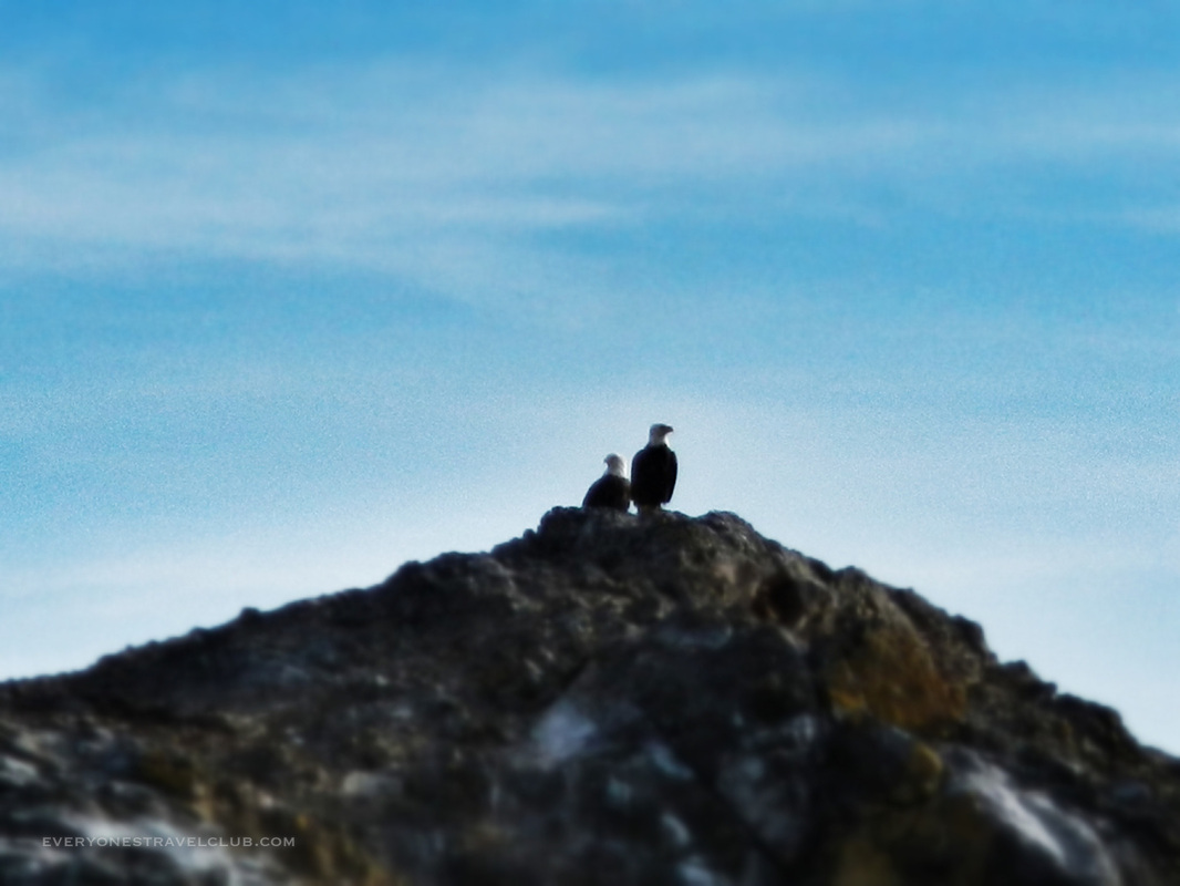 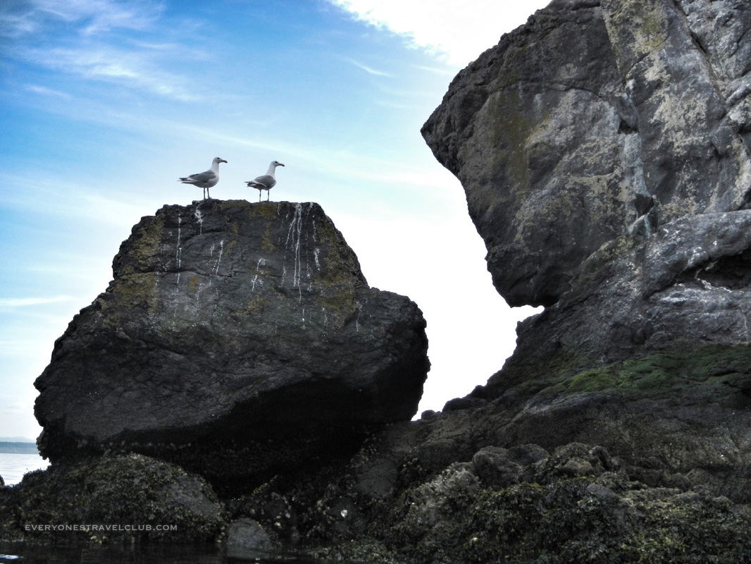 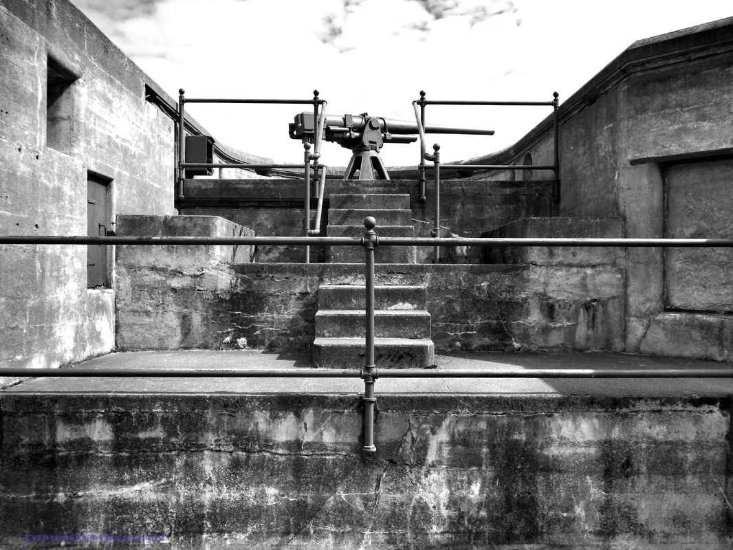 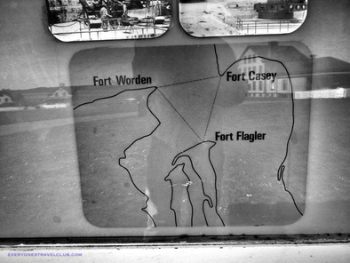 The Mrs. and I took a little day trip to Fort Flagler, one of the three forts guarding (or once guarding) the waterway leading to Seattle. The other two - Fort Worden and Fort Casey - were visible across the water. This fort is just south of Port Townsend (but a little farther to drive than you think because you have to drive around the Bay to Marrowstone). Fort Flagler has lots of trails, a campground & RV area, plenty of beach, tall bluffs with great views, a small museum, bunkers to explore, and even old remodeled houses to rent (I bet staying here on a full moon would be magical with the surrounding water and the lack of street lights). Don't forget, these days you'll need a Discover Pass to park at Fort Flagler (and every State park it seems), but this was totally worth it! ~Paul & Amber ETC P.S. After looking through the fort museum and reading about the rich history of the place I decided to give my pics from this trip the black and white treatment. Enjoy! 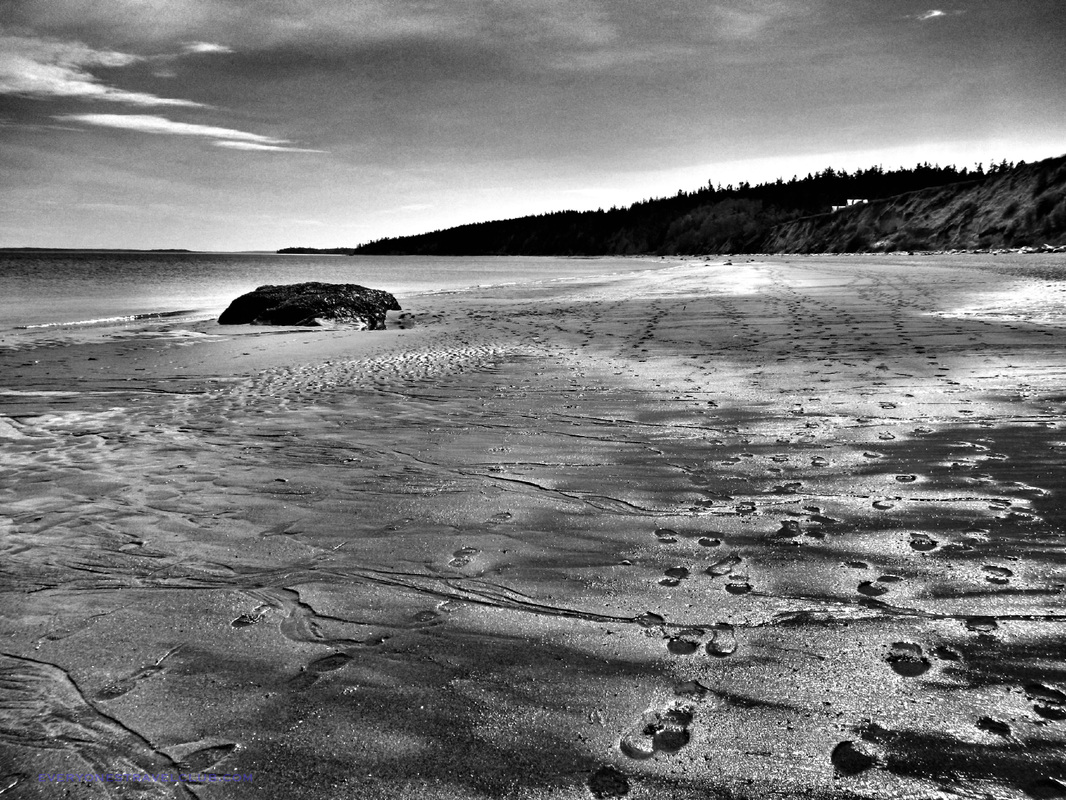 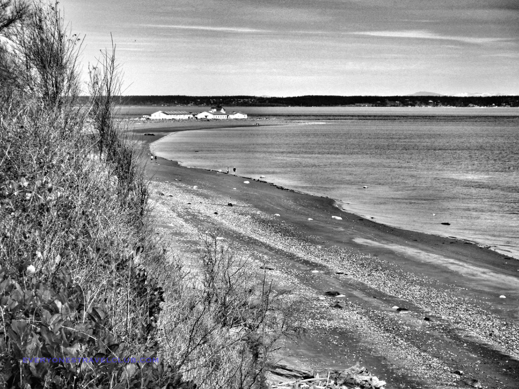  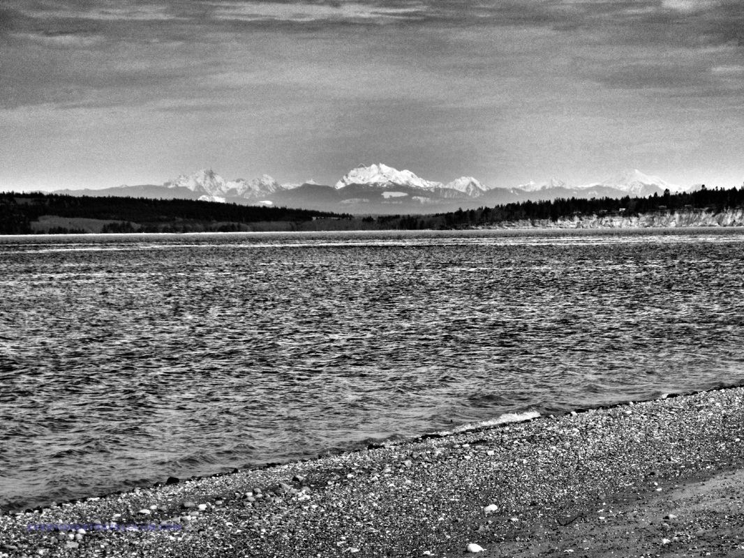 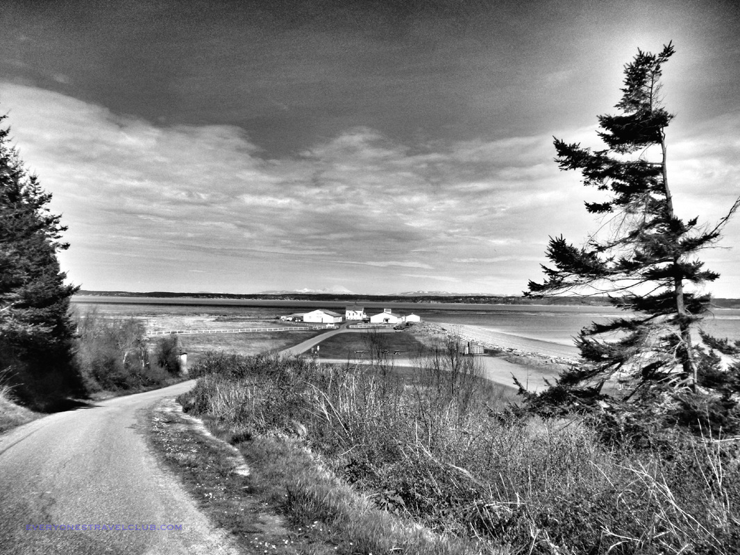  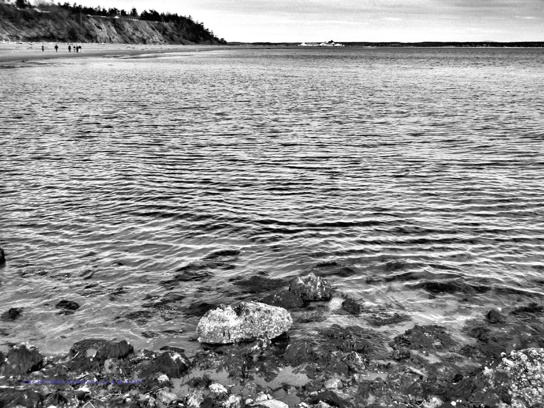 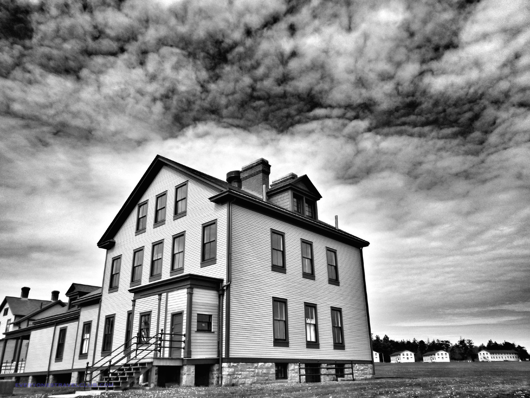 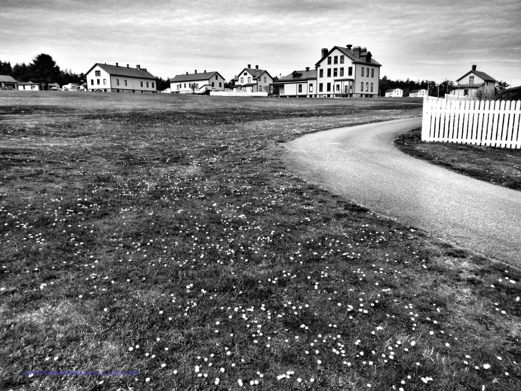  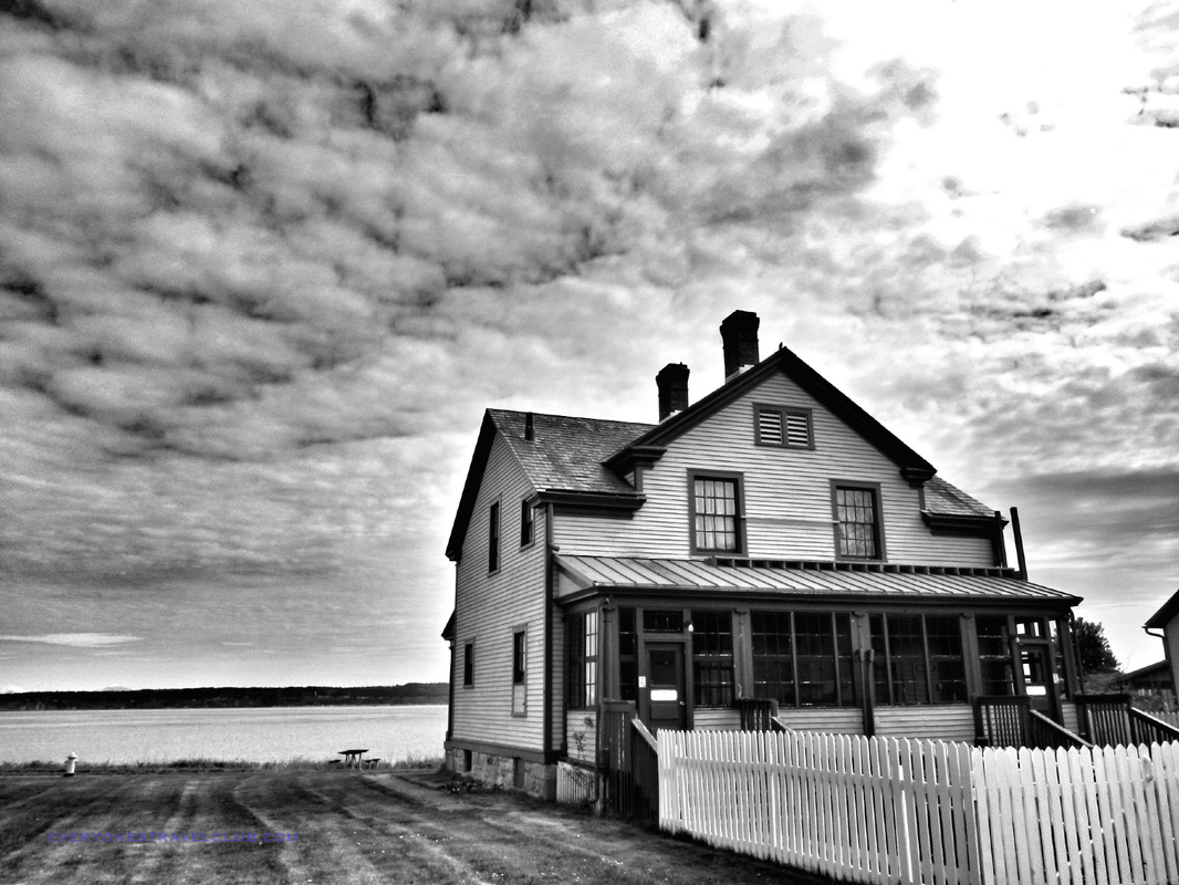 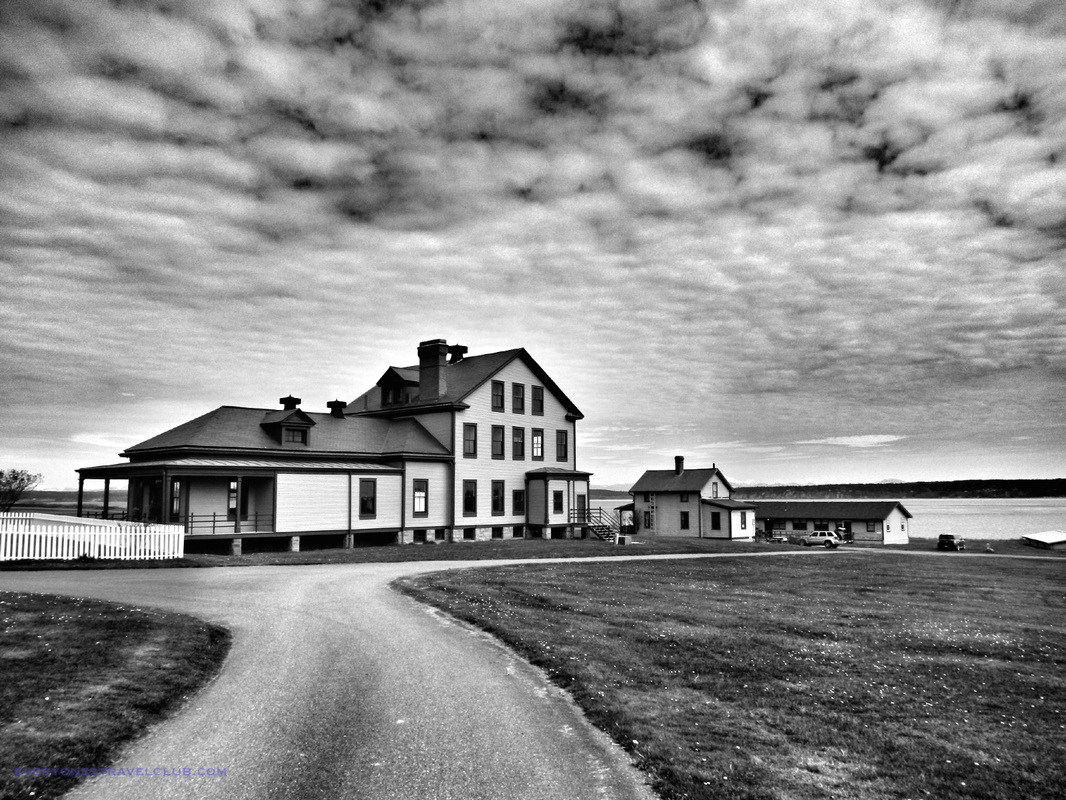 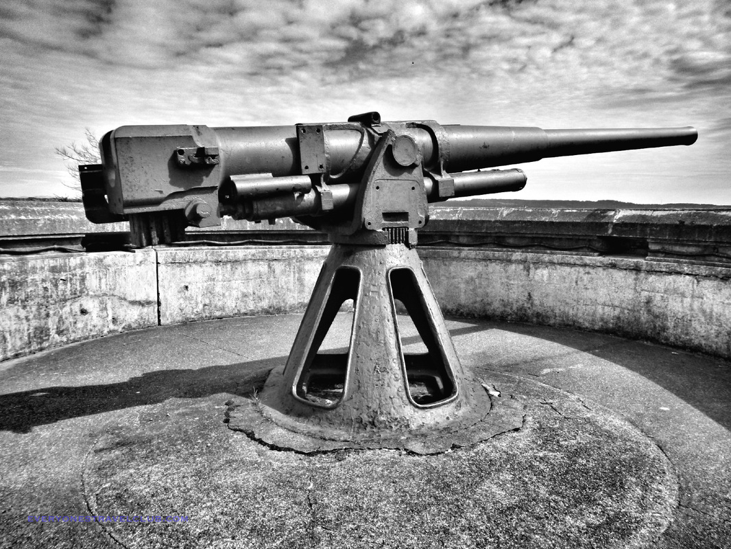 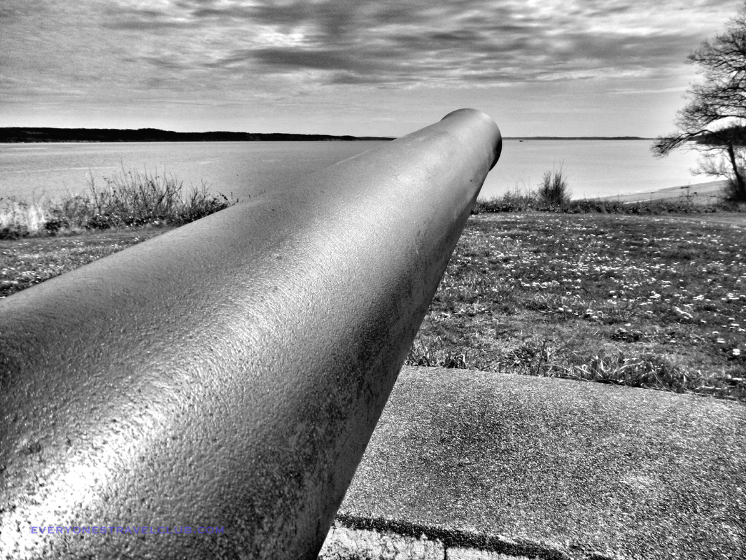 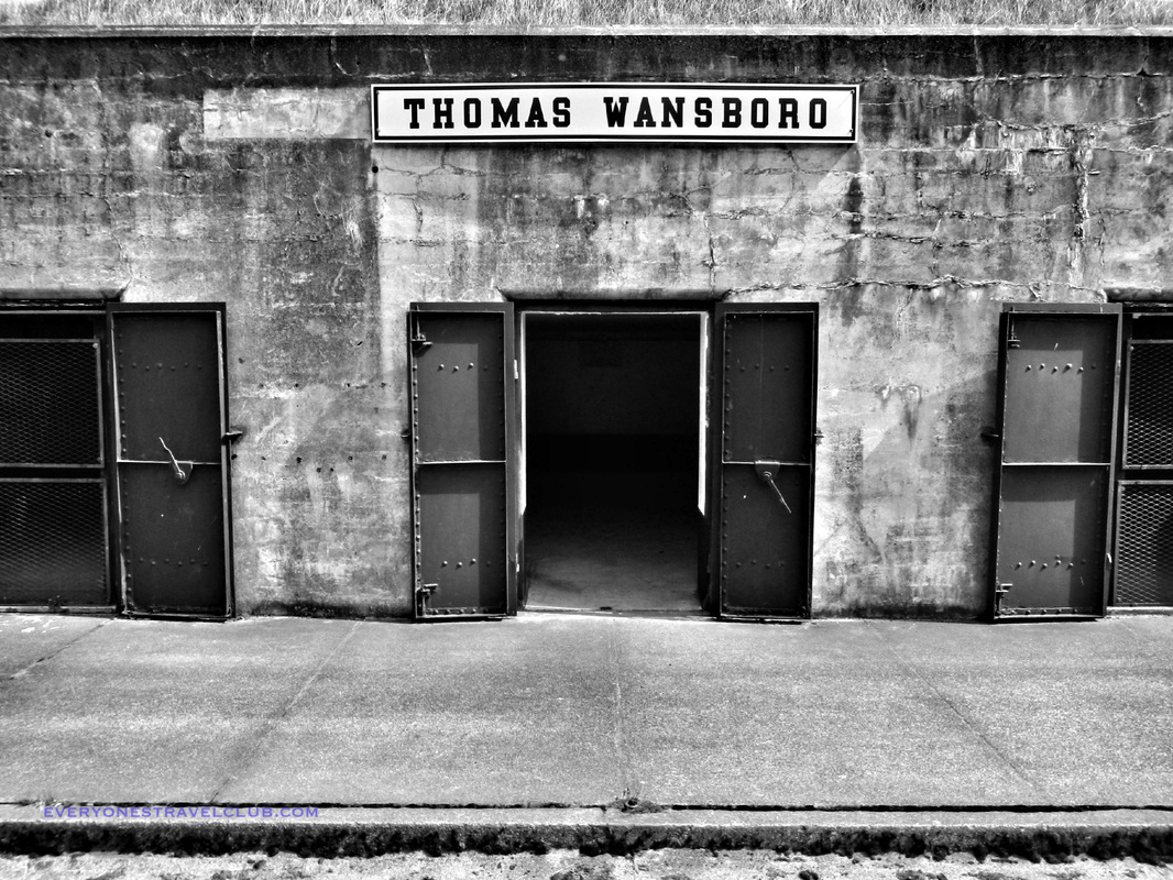 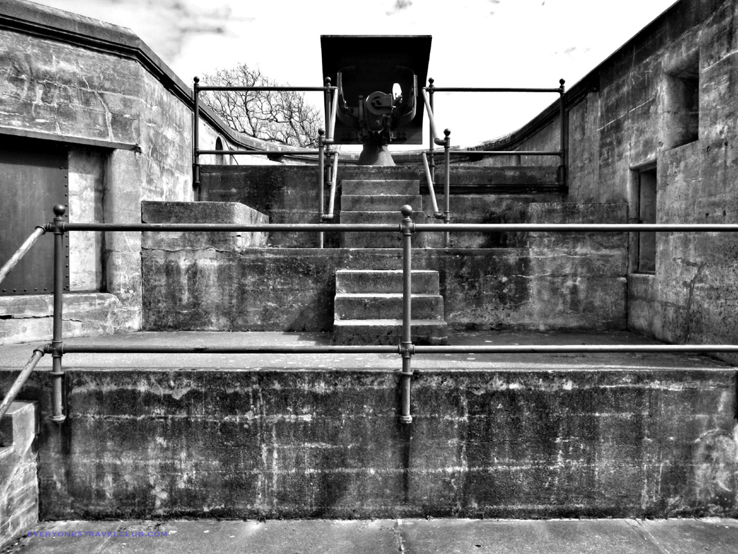 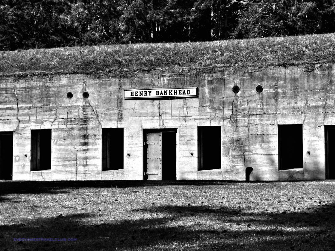 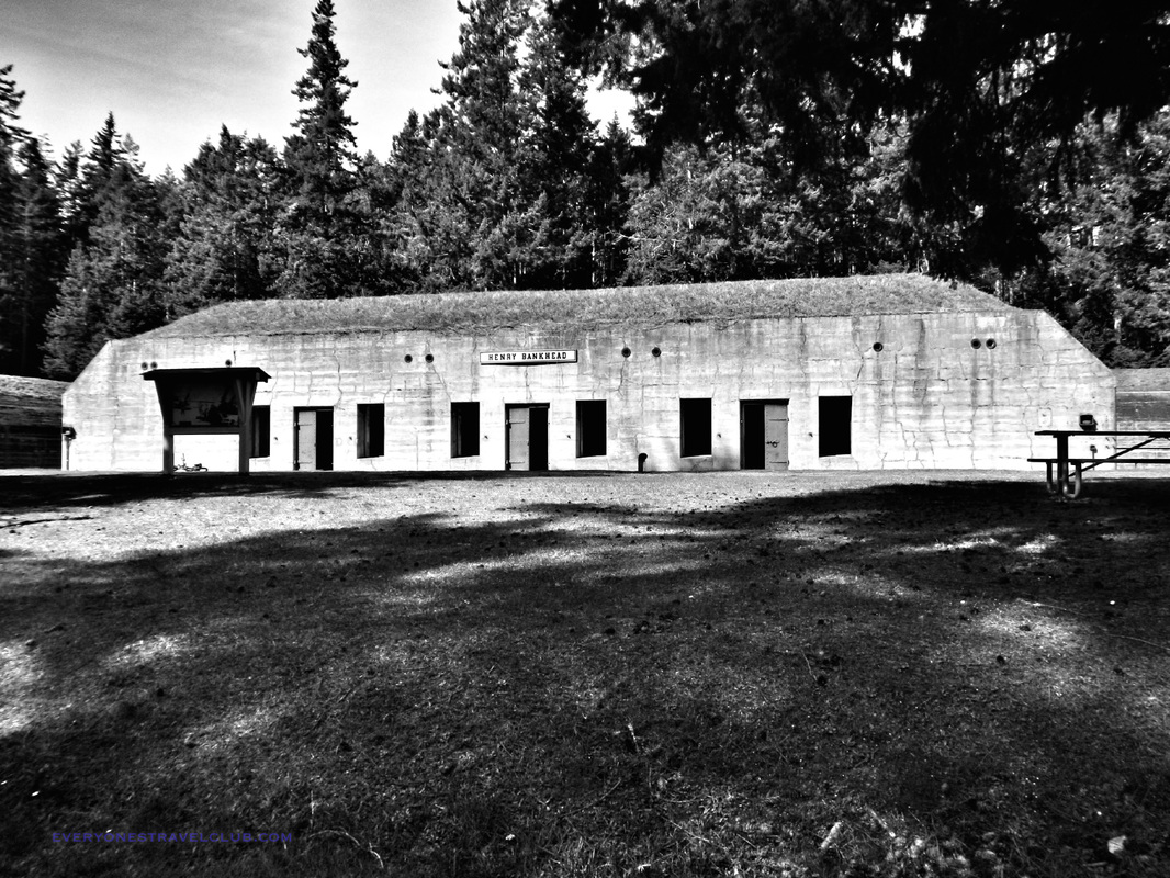 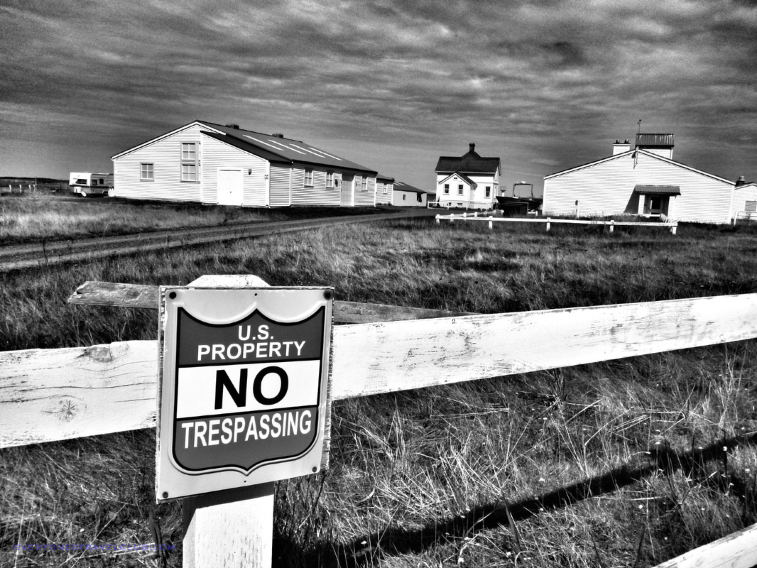 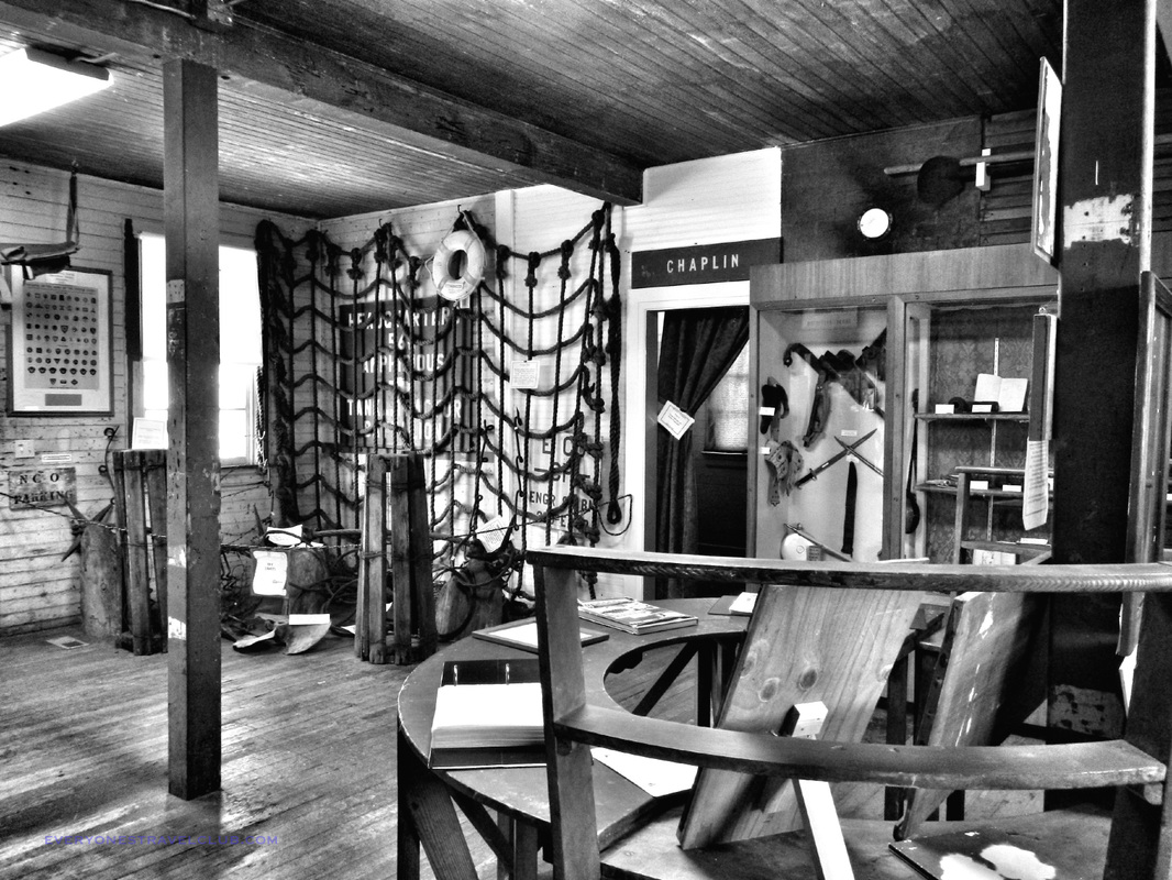  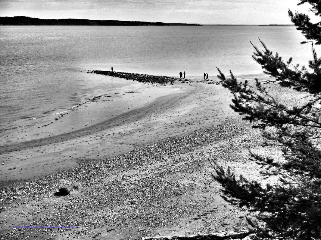 |
Follow us on Twitter and receive updates when we post (click the birdie).
 Archives
March 2014
|
 RSS Feed

|
Connect:Contact: |
everyonestravelclub@gmail.com |